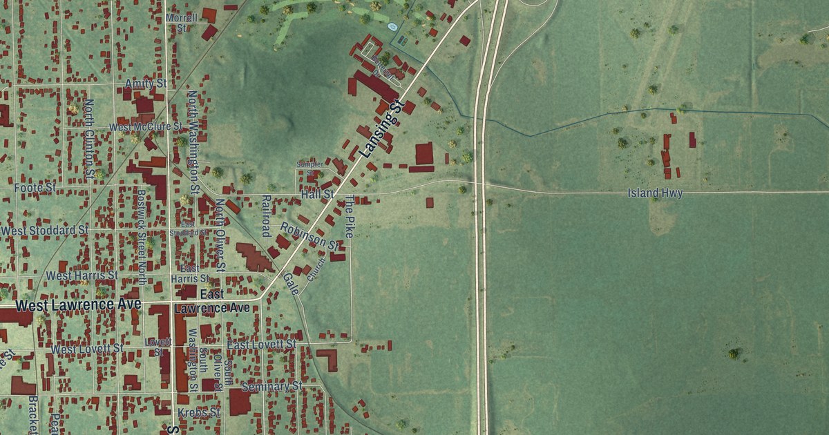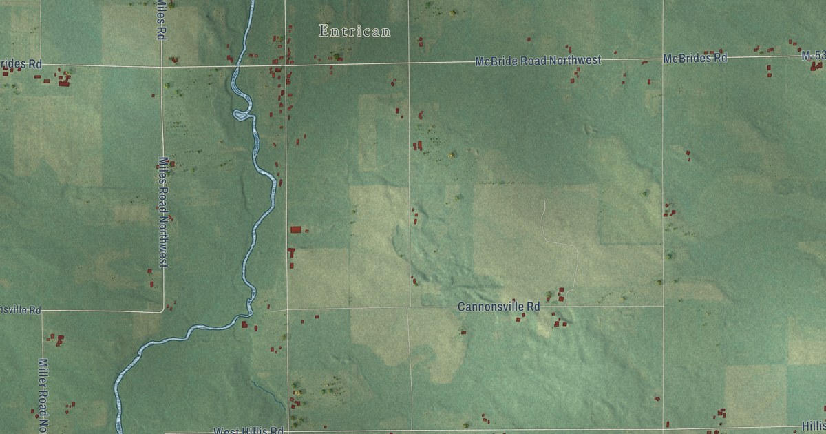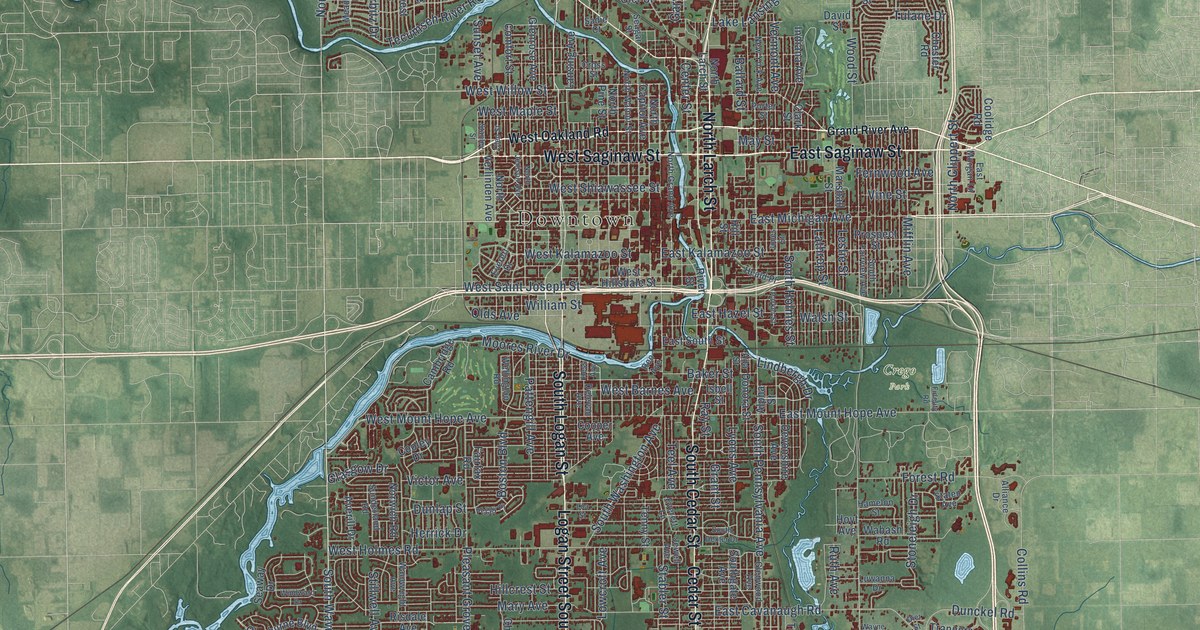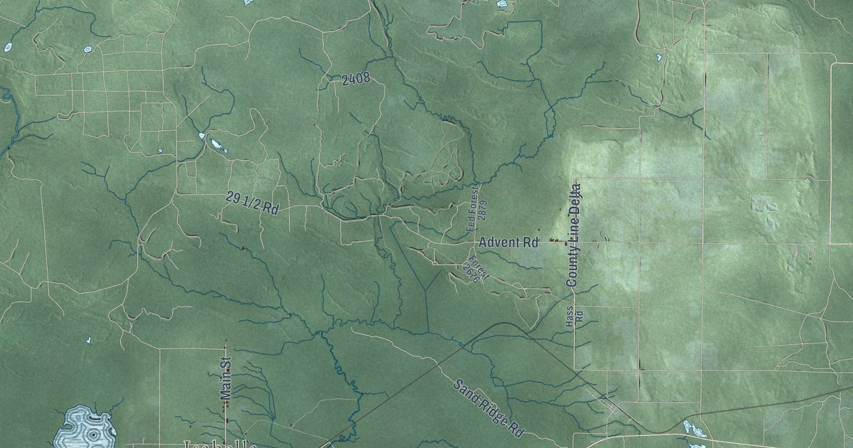
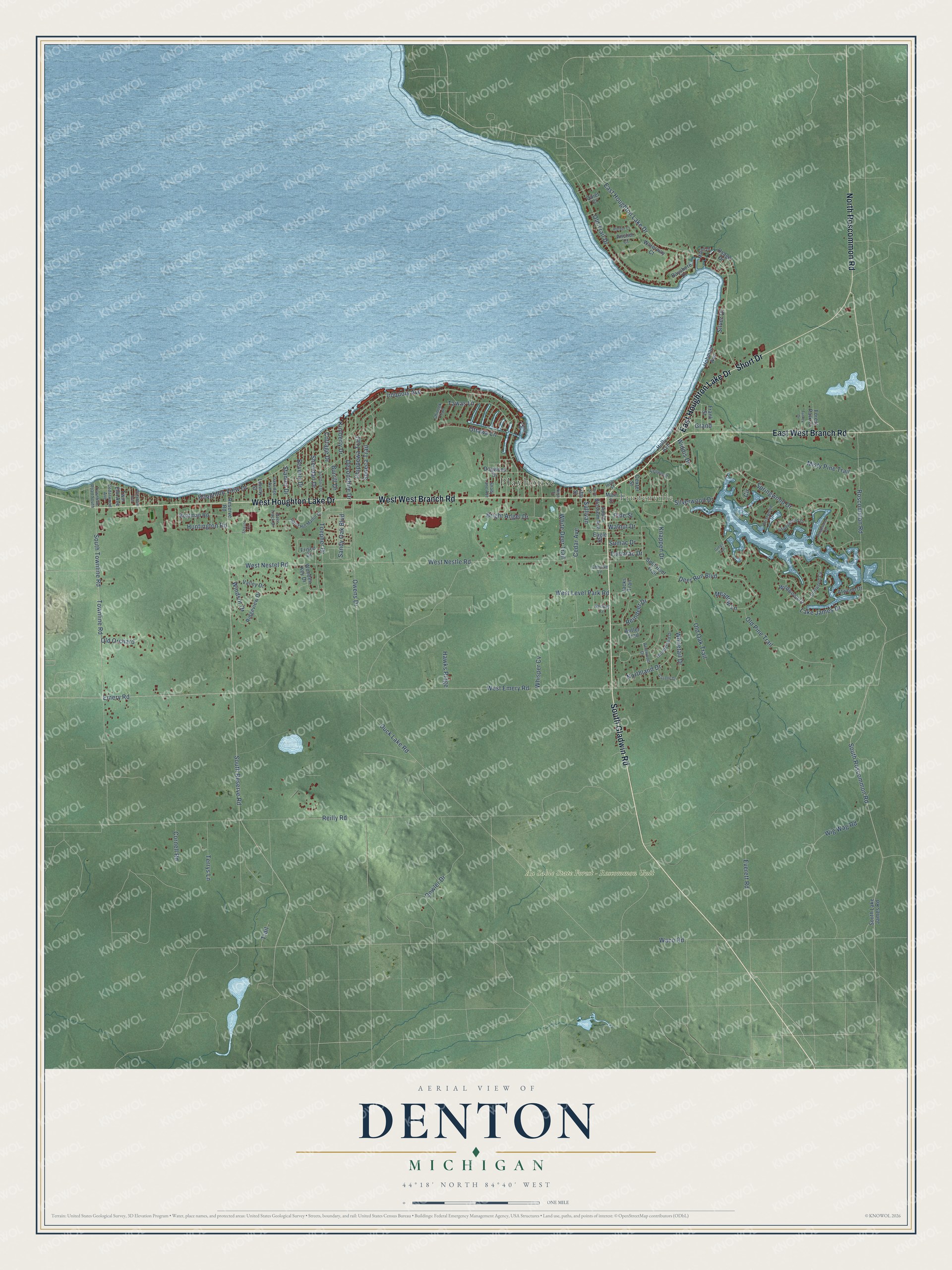
This beautifully detailed map of Denton, Michigan was created in 2026 using aerial imagery combined with modern topographical, census, street and landmark data. It's a modern aerial view of Denton in Roscommon County, Michigan, that combines modern data with a vintage aesthetic. The roads feature printed names, and if you look closely you can find your exact house accurately shown in its correct location.
Explore an aerial view of Denton, Michigan
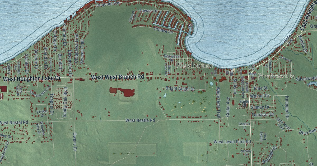
On this map you'll find Playhouse, Prudenville, Au Sable State Forest – Roscommon Unit, South Gladwin Road, East Houghton Lake Drive, West Houghton Lake Drive, East West Branch Road, Short Drive, North Roscommon Road, South Roscommon Road, South Reserve Road, Silverwood Drive, and more. Each red shape is a building, so zoom in on the preview and look for yours.
Here is a piece of Denton history, in the words of the record. The record at arcgis.com puts it this way: "Named for early developer Peter Pruden, the community was also known as Edna for a time."
The Census Bureau counted 5,293 people here in 2020.
Take a closer look at the Denton map
Names on this map
These names are printed on this map.
Places: Playhouse, Prudenville and Au Sable State Forest - Roscommon Unit.
Streets and roads: South Gladwin Road, East Houghton Lake Drive, West West Branch Road, West Houghton Lake Drive, East West Branch Road, Short Drive, North Roscommon Road, South Roscommon Road, South Reserve Road, Silverwood Drive, Toepher Drive, Stanley Drive.
More street names, A to Z
Anchor Court, Antler Trail, Apple Blossom Avenue, Arrowood Drive, Aspenwood Drive, Atwood Drive, Bayshore Drive, Beverly Drive, Boatman Road, Briarwood Drive, Bright Angel Drive, Burrill Drive, Canal Drive, Cedar Avenue, Cedarwood Avenue, Chinook Trail, Chippewa Trail, Christie Lane, Circle, Cornell Road, Cottage Drive, Deer Run Boulevard, Deer Track Drive, Devonshire Drive, Dexter Street, Dogwood Drive, Dowler Drive, Driftwood Circle, Duck Lake Road, Eagle Street, Emery Road, Everett Road, Fenwood, Fifth Street, Forest Park Court, Frank Street, Frisco Drive, Gazelle Drive, Grand, Gregs Trail, Harbor Court, Hawks Ridge, Hohman Avenue, Holly Avenue, Houghton View Drive, Huntington Road, Ionia Street, Iroquois Avenue, Jacks Trail, Kimberly Drive, Knappen Drive, Lake James Drive, Liberty Street, Main Street, Meadow Lane, Miami Drive, Misty Pine Trail, Ninth Street, Northland Drive, Norway Lane, Oakridge Avenue, Old Oak Trail, Old Orchard, Old Pine Trail, Old Trail Drive, Osage Drive, Ottawa Lane, Owens Drive, Pine Street, Quiet Court, Reilly Road, Reindeer Drive, Reserve Road, Ridgeview Drive, Ridgewood Drive, Roscommon Road, Sand Hill Manor Drive, Sandy Oak Boulevard, Seneca Trail, Shady Lane Avenue, Shayne Circle, Sheridan Drive, Silver Drive, South Lake James Road, South Townline Road, Split Hoof Trail, Springwood Drive, Stratford Drive, Sullivan, Sumac Drive, Tamarac Drive, Tawas Lane, Terrys Lane, Third Street, Thunderbird Drive, Townline Road, Townline Road South, Trail, Turkey Drive, Twin Elm Avenue, Valley Drive, Waco Road, Walnut Drive, Waterway Court, West Emery Road, West Level Park Road, West Nestel Road, West Nestle Road, Whisper Cv, White Deer Trail, Whitetail Drive, Wickham Avenue, Widdis Drive, Wig Wag Road, Wildwood Drive, Windsor Drive, Wooden Key Drive.
Created by KNOWOL in 2026. The buildings are small red shapes, the roads carry their printed names, and shaded relief shows the shape of the land. The title panel reads "AERIAL VIEW OF DENTON, MICHIGAN" with 44°18' NORTH 84°40' WEST.
It suits a den, a classroom or a front hall, and it makes a gift for anyone with Denton roots. Open the preview and find the block you know. See sizes and frames for the Denton map.