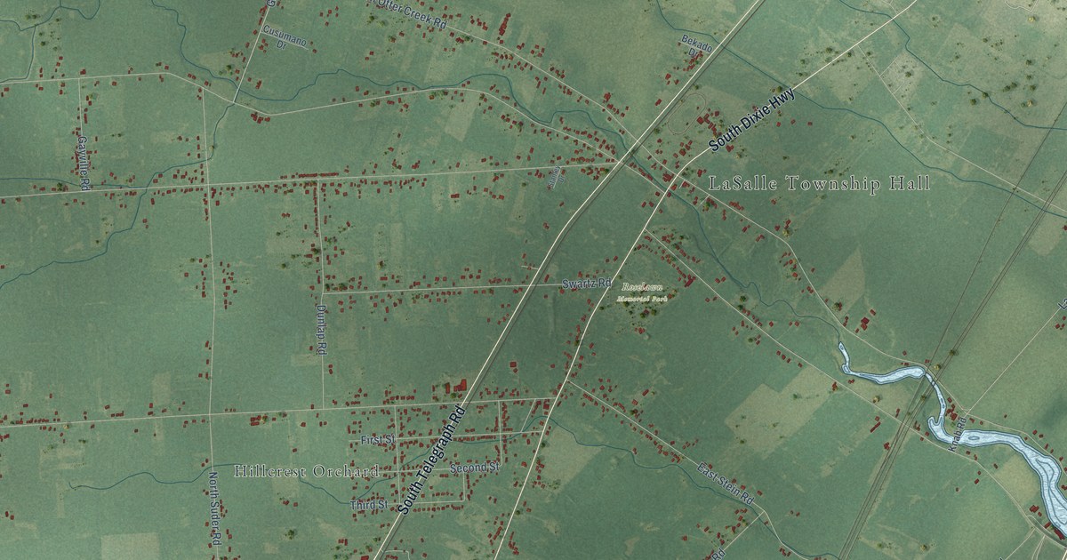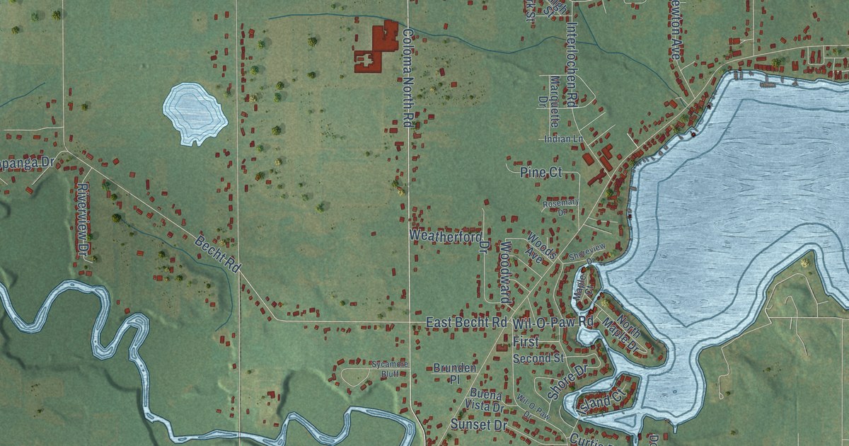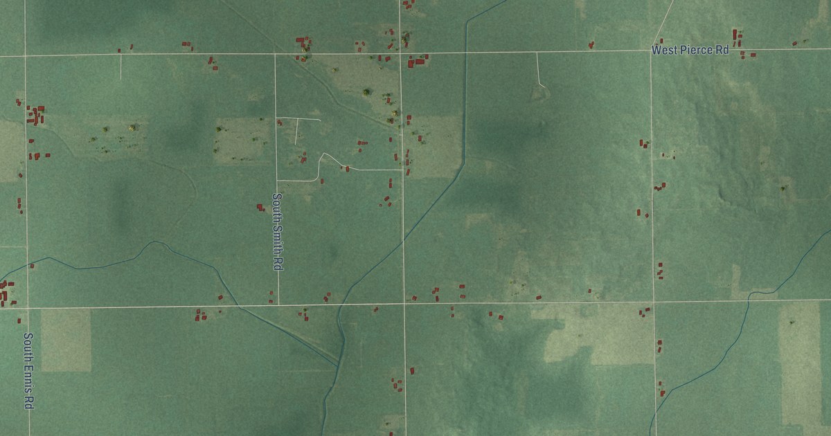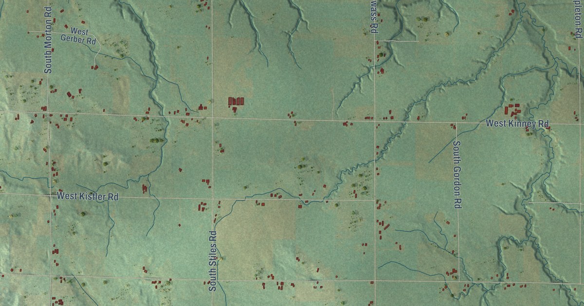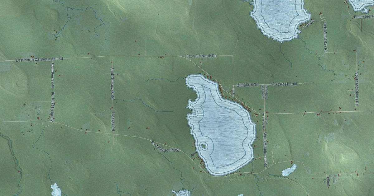
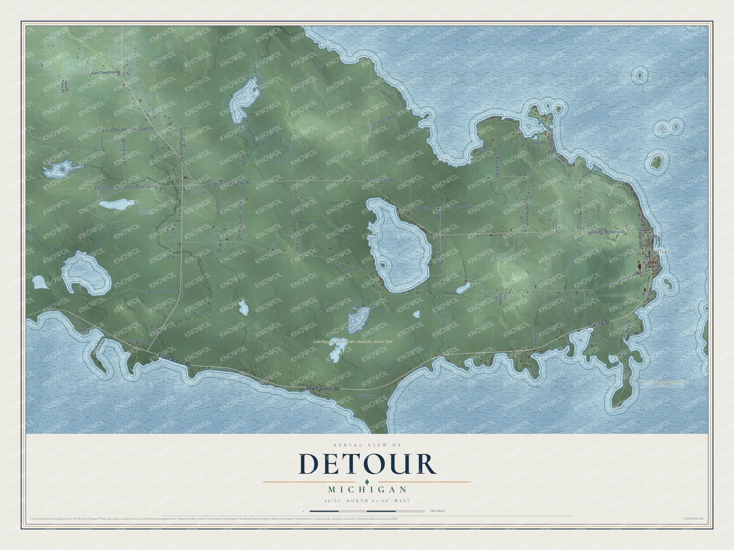
This beautifully detailed map of Detour, Michigan was created in 2026 using aerial imagery combined with modern topographical, census, street and landmark data. It's a modern aerial view of Detour in Chippewa County, Michigan, that combines modern data with a vintage aesthetic. The roads feature printed names, and if you look closely you can find your exact house accurately shown in its correct location.
Explore an aerial view of Detour, Michigan
On this map you'll find De Tour Passage Underwater Preserve, De Tour Village, South Scenic Road, Ontario Street, East South Caribou Lake Road, East North Caribou Lake Road, South Spring Bay Road, North Road, South Macdonald Road, Democrat Road, Old North Road, Division Street, and more. Each red shape is a building, so zoom in on the preview and look for yours.
Here is a piece of Detour history, in the words of the record. The History of the Upper Peninsula of Michigan puts it this way: "Detour, or Point de Tour, is an ancient settlement at the mouth of the St. Mary's River. It was well known to the first French missionaries, and was the battle-ground between the Hurons and Iroquois of early times."
The Census Bureau counted 671 people here in 2020.
Take a closer look at the Detour map
Names on this map
These names are printed on this map.
Places: De Tour Passage Underwater Preserve, Lake Superior State Forest - Sault Ste. Marie Unit and De Tour Village.
Streets and roads: South Scenic Road, Ontario Street, East South Caribou Lake Road, East North Caribou Lake Road, South Spring Bay Road, North Road, South Macdonald Road, Democrat Road, Old North Road, Division Street, East Ziegler Lake Road, East Ziegler Road.
More street names, A to Z
Airport Road, Cedar Shores, Dock Road, Dutcher Lane, East Albany Road, East Beady Road, East Beedy Road, East Big Trout Lake Trail, East Maud Bay Road, East Old North Road, East Old South Road, East Ross Trail, East Steel Road, East Townline Road, Erie Street, Frances Street, Huron Street, Light House Road, Lutze Road, Oak Street, Ott Road, Plozsak Road, Point Road, Point Street, Prdr, Seymour Road, Sims Street, South Albany Island Row, South Albany Road, South Campground Road, South Deer Point Street, South Fountain Farm Road, South Krontz Road, South McAdams Road, South McDonald Road, South Old North Road, South Peasley Road, South Piesley Road, South Polaczyk Road, South Sweets Street, South Teel Road, South Tower Road, South White Pine Row, South Wojnaroski Road, Trillium Lane.
Created by KNOWOL in 2026. The buildings are small red shapes, the roads carry their printed names, and shaded relief shows the shape of the land. The title panel reads "AERIAL VIEW OF DETOUR, MICHIGAN" with 46°00' NORTH 84°00' WEST.
It suits a den, a classroom or a front hall, and it makes a gift for anyone with Detour roots. Open the preview and find the block you know. See sizes and frames for the Detour map.