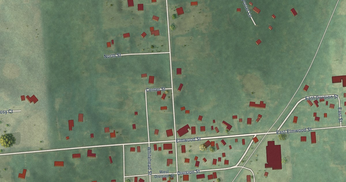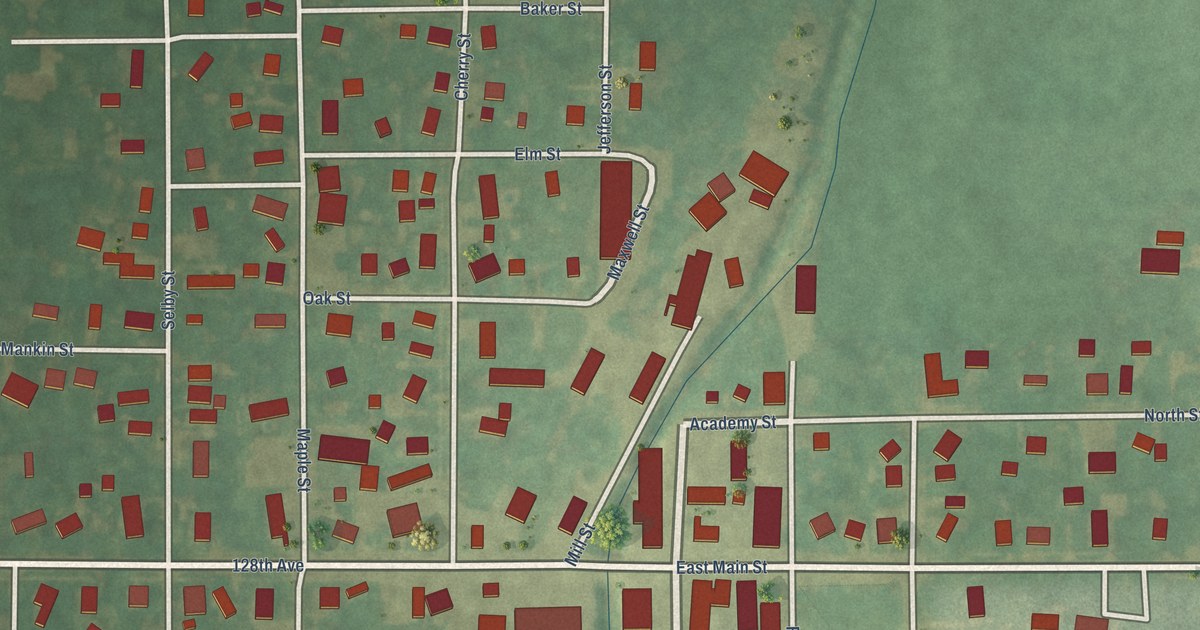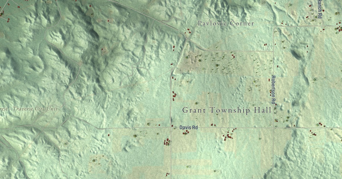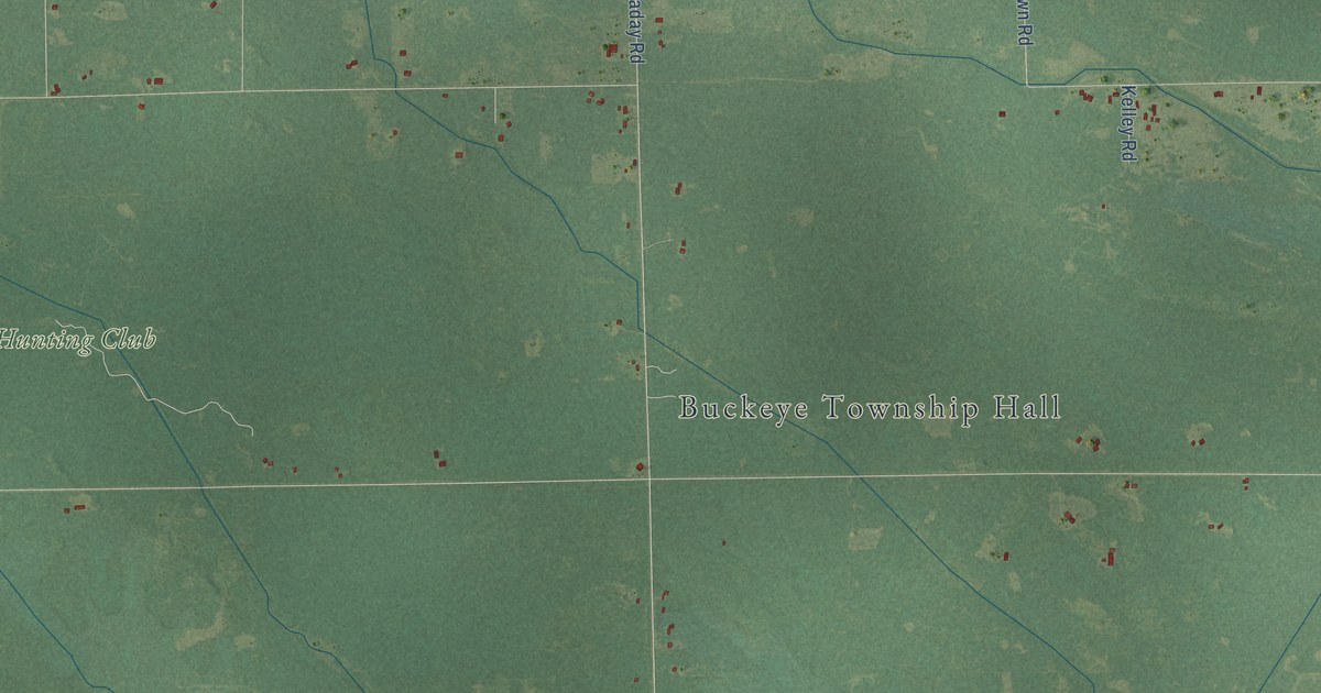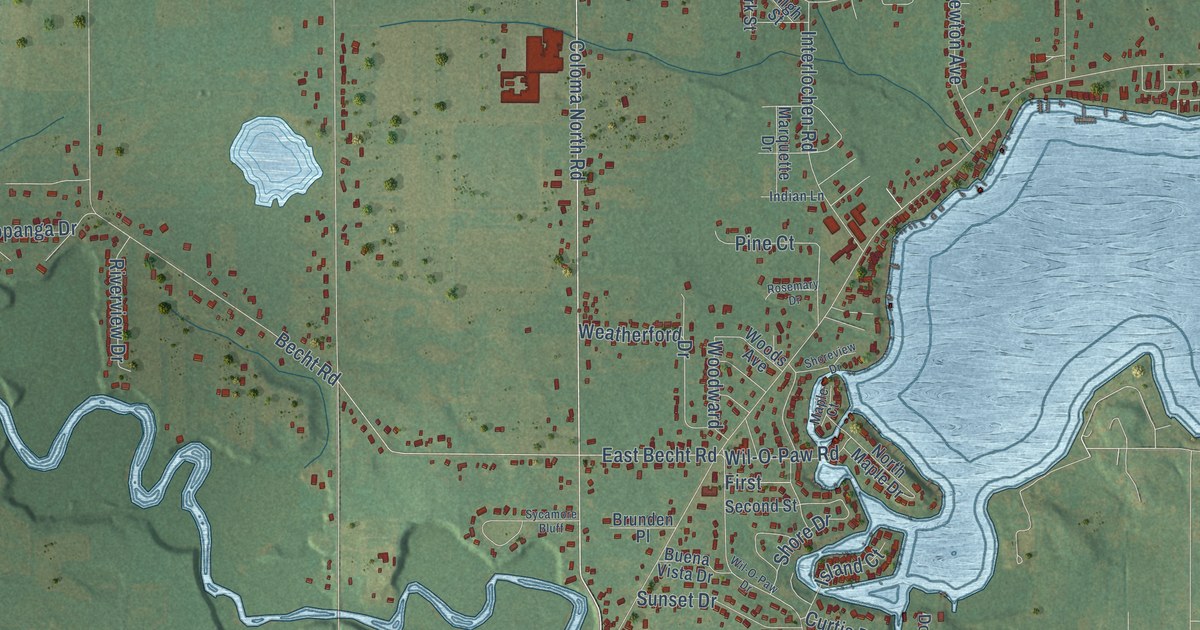
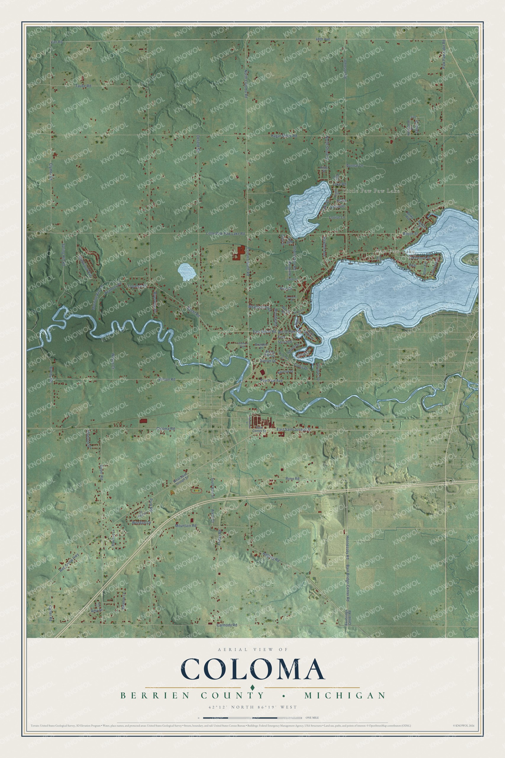
This beautifully detailed map of Coloma, Michigan was created in 2026 using aerial imagery combined with modern topographical, census, street and landmark data. It's a modern aerial view of Coloma in Berrien County, Michigan, that combines modern data with a vintage aesthetic. The roads feature printed names, and if you look closely you can find your exact house accurately shown in its correct location.
Explore an aerial view of Coloma, Michigan
On this map you'll find East Saint Joseph Street, Lake Drive, North Coloma Road, Red Arrow Highway, Coloma North Road, East Becht Road, Lakewood Drive, Clymer Road, 48th Avenue, Van Road, Hagar Shore Road, Becht Road, and more. Each red shape is a building, so zoom in on the preview and look for yours.
Every town has a first chapter, and Coloma is no exception. The Berrien County History puts it this way: "Wallingford lived on the farm until 1850, when he moved into what is now the village of Coloma, and there, in that year, built the first frame house erected there."
The Census Bureau counted 5,051 people here in 2020.
Take a closer look at the Coloma map
Names on this map
These names are printed on this map.
Places: Paw Paw Lake and Little Paw Paw Lake.
Streets and roads: East Saint Joseph Street, Lake Drive, North Coloma Road, Red Arrow Highway, Coloma North Road, East Becht Road, Lakewood Drive, Clymer Road, Little Paw Paw Lake Road, Paw Paw Lake Road, 48th Avenue, Van Road.
More street names, A to Z
Agusta Street, Amy Court, Amy Drive, Angling Road, Arent Court, Atherton Drive, Bain Bridge Center Road, Bainbridge Center Road, Bayview Drive, Becht Road, Beech Street, Berky Avenue, Bluebird Lane, Blum Avenue, Boyer Road, Brunden Place, Buena Vista Drive, Bundy Road, Carmody Road, Carter Road, Clark Street, Coloma Road, Cora Court, Curtis Drive, Defield Road, Douglas Terrace, East Center Street, First, Friday Road, Gunnar Lane, Hagar Shore Road, Helen, Hennessey Road, High Street, Hilda Street, Hollywood Drive, Indian Lane, Interlochen Road, Island Court, Janet Drive, Jill Anne Drive, Johnson Road, Keigley Street, Lake Avenue, Lake Road, Lakewood Street, Louise Lane, Maple Court, Marquette Drive, Meadow Lane, Morning Aire Lane, Mountain Road, Newton Avenue, North Maple Drive, North Shore Drive, Park Road, Paw Paw Avenue, Pear, Pine Court, Riverview Drive, Rosemary Drive, Ryno Road, Sassafrass Street, Second Street, Shore Drive, Shoreview Drive, South West Street, Spring Hill Road, Sunset Drive, Sycamore Bluff, Sylvester, Taube Road, Topanga Drive, Vine, Weatherford Drive, Weatherly Road, Wendzel Drive, West Saint Joseph Street, Wil-O-Paw Drive, Wil-O-Paw Road, Wildwood Avenue, Wilson Court, Wilson Road, Woods Avenue, Woodward.
Created by KNOWOL in 2026. The buildings are small red shapes, the roads carry their printed names, and shaded relief shows the shape of the land. The title panel reads "AERIAL VIEW OF COLOMA, BERRIEN COUNTY • MICHIGAN" with 42°12' NORTH 86°19' WEST.
Hang it in the hallway, the office or the cabin, or give it to someone who left Coloma and still calls it home. Open the preview and look for a street you know. See sizes and frames for the Coloma, Berrien County map.