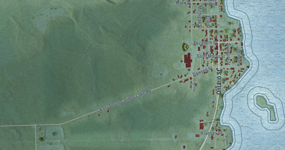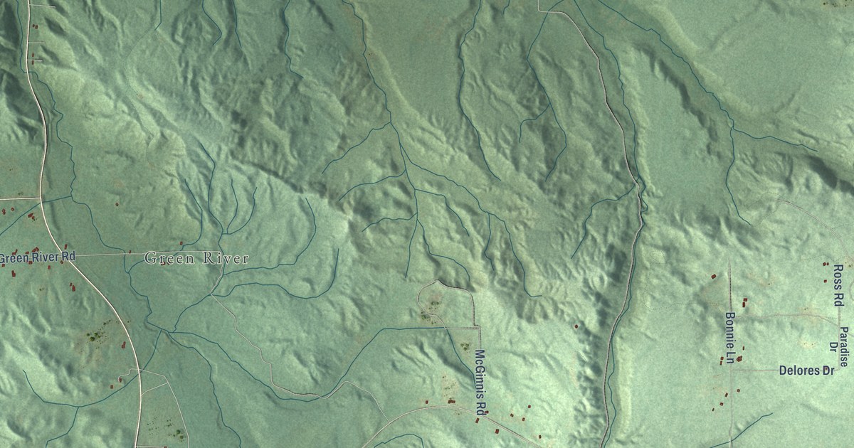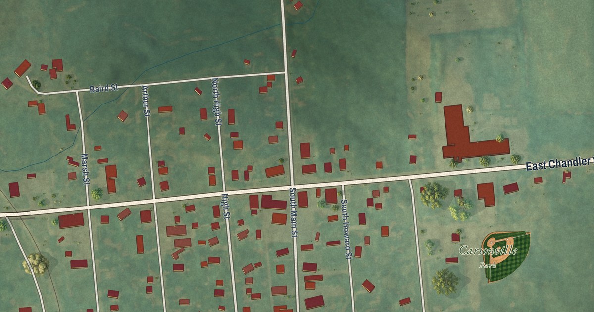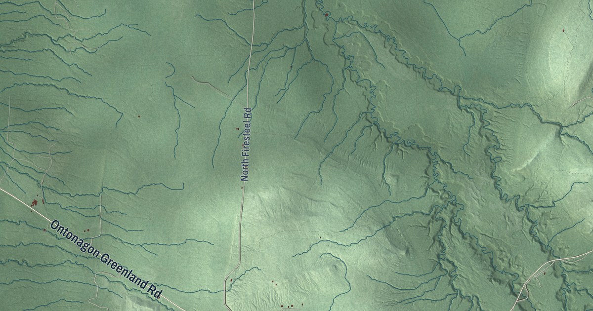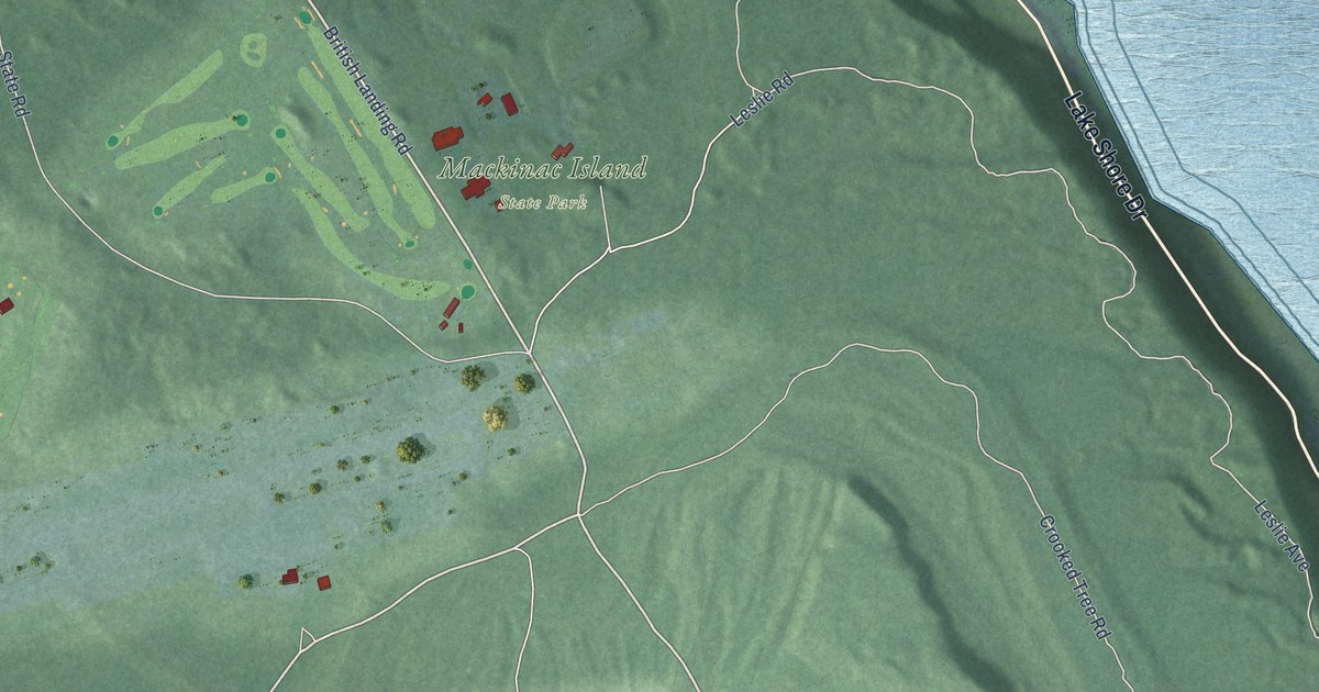
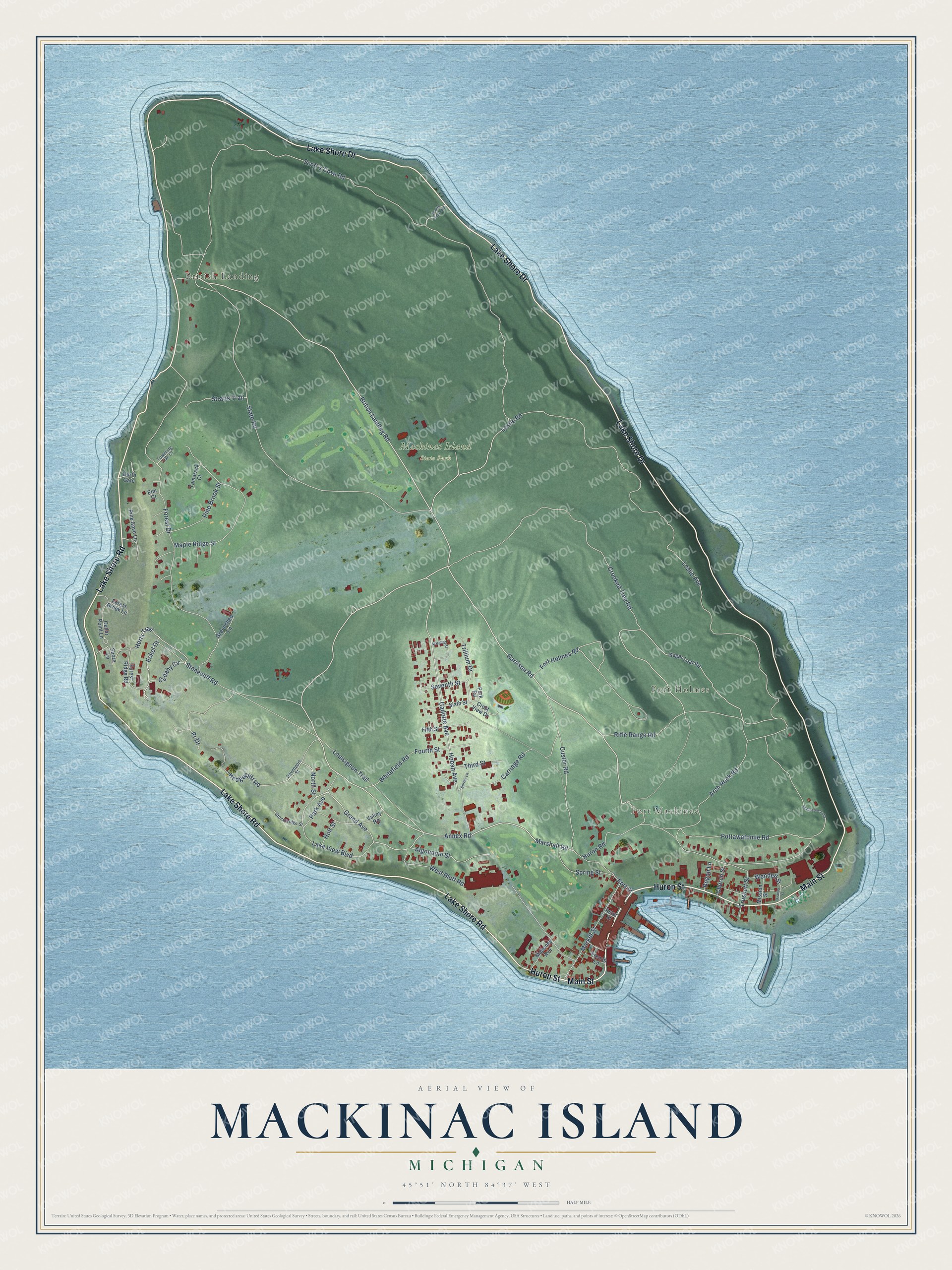
This beautifully detailed map of Mackinac Island, Michigan was created in 2026 using aerial imagery combined with modern topographical, census, street and landmark data. It's a modern aerial view of Mackinac Island in Mackinac County, Michigan, that combines modern data with a vintage aesthetic. The roads feature printed names, and if you look closely you can find your exact house accurately shown in its correct location.
Explore an aerial view of Mackinac Island, Michigan
On this map you'll find British Landing, Fort Holmes, Fort Mackinac, Mackinac Island State Park, Lake Shore Drive, Lake Shore Road, Huron Street, Main Street, British Landing Road, Garrison Road, Annex Road, Huron Road, and more. Each red shape is a building, so zoom in on the preview and look for yours.
Mackinac Island has a story worth telling. The record at arcgis.com puts it this way: "Constructed for Charles O’Malley about 1852, this building was one of the first summer hotels on Mackinac Island."
Mackinac Island is a city in Mackinac County. The Census Bureau counted 583 people here in 2020.
Take a closer look at the Mackinac Island map
Names on this map
These names are printed on this map.
Places: British Landing, Fort Holmes, Fort Mackinac and Mackinac Island State Park.
Streets and roads: Lake Shore Drive, Lake Shore Road, Huron Street, Main Street, British Landing Road, Garrison Road, Annex Road, Huron Road, Stonecliff Road, Marshall Road, Grand Avenue, Herts Trail.
More street names, A to Z
Algonquin Street, Arch Rock Road, Astor Street, Bogan Lane, Cadotte Avenue, Carriage Road, Cedar Point Lane, Church Street, Crest View Drive, Crooked Tree Road, Cudahy Circle, Custer Road, Davenport Street, Eckel Drive, Elm Court, Fifth Street, Forest Brook Lane, Forest Drive, Forest Ridge Road, Fort Holmes Road, Fort Street, Fourth Street, Franks Street, French Lane, Greenshed Lane, Hedgecliff Road, Hoban Avenue, Holt Street, Lake View Boulevard, Leslie Avenue, Leslie Road, Louisignon Trail, Mahoney Avenue, Maple Ridge Street, Market Street, Marshall Street, Mission Street, North Gate, North Street, Park Avenue, Park Road, Pine Brook Street, Pine Cove Lane, Pottawatomie Road, Pr Drive, Rifle Range Road, Robinsons Folly, Scott's Cove Road, Scotts Shore Road, Seventh Street, Shore Lane, Sixth Street, Spring Street, State Road, Stockbridge Street, Straits Trail, Sugar Loaf Road, Surrey Lane, Tamarack Court, Third Street, Towering Oak Court, Trillium Drive, Truscott Street, Valley Road, Wendell Street, West Bluff Road, Whitefield Road.
Created by KNOWOL in 2026. The buildings are small red shapes, the roads carry their printed names, and shaded relief shows the shape of the land. The title panel reads "AERIAL VIEW OF MACKINAC ISLAND, MICHIGAN" with 45°51' NORTH 84°37' WEST.
It looks right in a kitchen, an office or a den, and it's a gift for anyone who grew up in Mackinac Island or moved away. Open the preview and find your street. See sizes and frames for the Mackinac Island map.