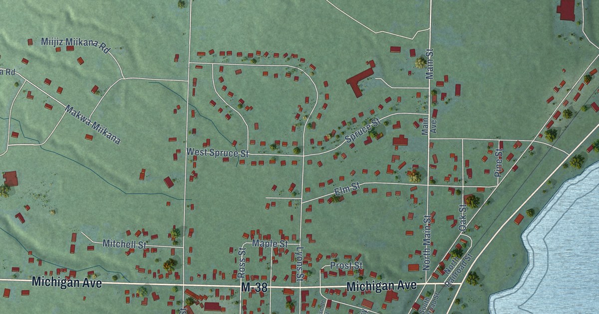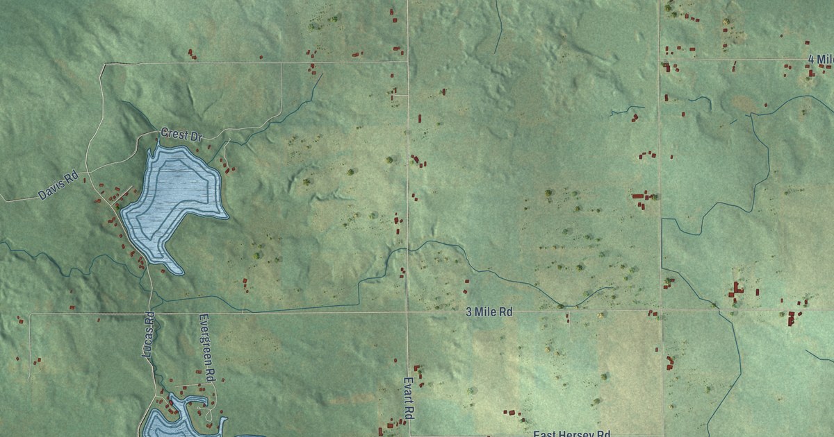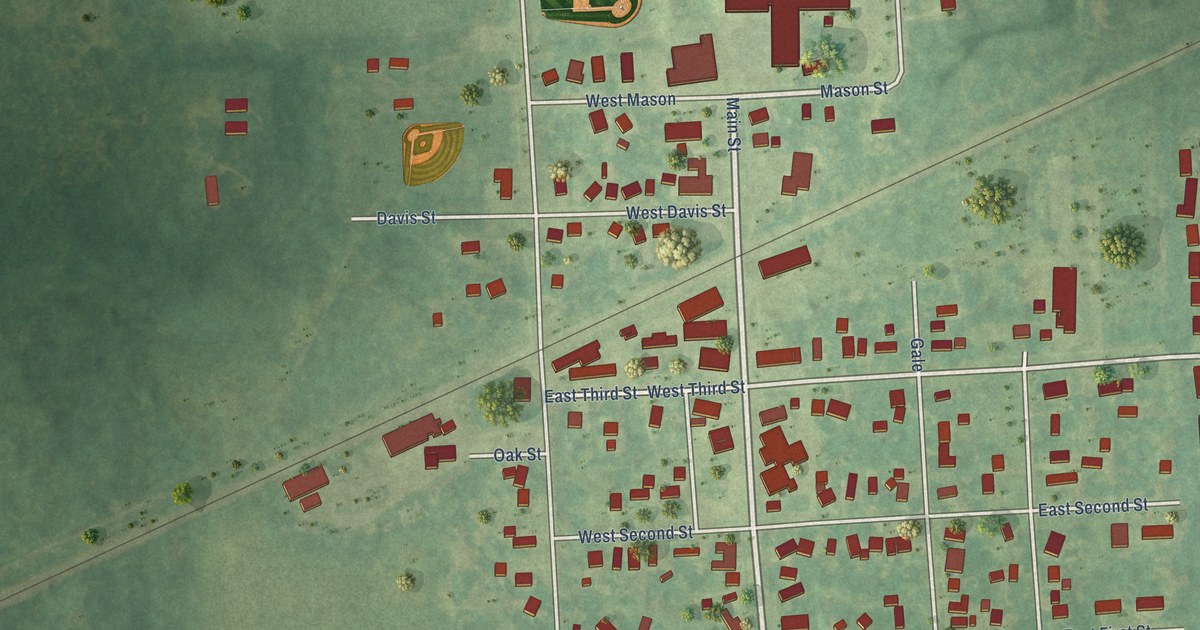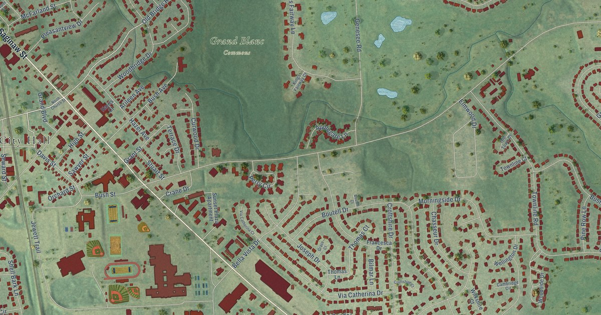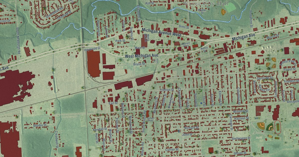
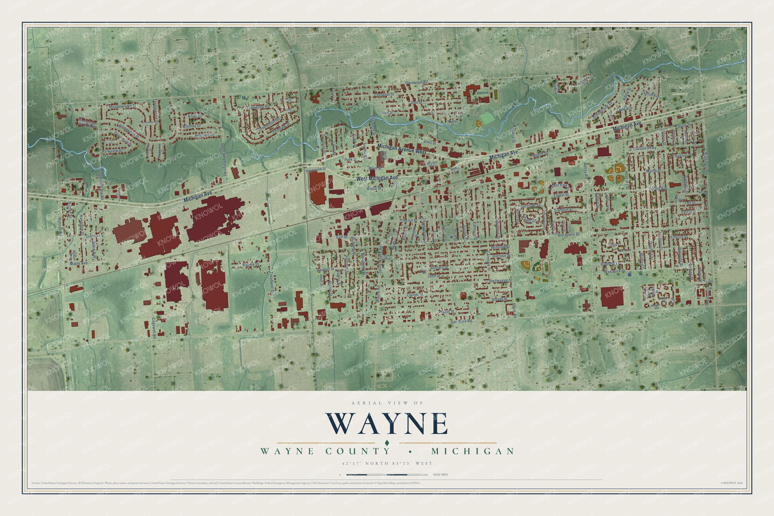
This beautifully detailed map of Wayne, Michigan was created in 2026 using aerial imagery combined with modern topographical, census, street and landmark data. It's a modern aerial view of Wayne in Wayne County, Michigan, that combines modern data with a vintage aesthetic. The roads feature printed names, and if you look closely you can find your exact house accurately shown in its correct location.
Explore an aerial view of Wayne, Michigan
On this map you'll find Wayne City Hall, Atwood Park, Westlawn Cemetery, Michigan Avenue, West Michigan Avenue, Michigan Avenue West, Venoy Road, Williams Street, Van Born Road, Biddle Street, Pershing Street, Glenwood Road, and more. Each red shape is a building, so zoom in on the preview and look for yours.
Every town has a first chapter, and Wayne is no exception. The Michigan History Center puts it this way: "A hamlet known as Derby’s developed around the tavern, and in 1836 the name of the settlement was changed to Wayne, apparently to honor General Anthony Wayne."
Wayne is a city in Wayne County. The Census Bureau counted 17,713 people here in 2020.
Take a closer look at the Wayne map
Names on this map
These names are printed on this map.
Places: Wayne City Hall, Atwood Park and Westlawn Cemetery.
Streets and roads: Michigan Avenue, West Michigan Avenue, Michigan Avenue West, Venoy Road, Williams Street, Van Born Road, Biddle Street, Pershing Street, Glenwood Road, Annapolis Street, Forest Avenue, Clinton Street.
More street names, A to Z
Adams Circle, Adele Street, Amy Drive, Ash Street, Avon Street, Barber Street, Barry Street, Bendix Street, Bluebird Lane, Brookfield Place, Brush Street, Cadillac Avenue, Cardinal Lane, Carlisle Parkway, Carnegie Street, Center Court, Chamberlain Street, Chestnut Court, Chestnut Street, Clark Street, Cogswell Road, Columbus Street, Commerce Court, Covington Drive, Cranmore Street, Crecent Court, Currier Street, Dean Street, Dearborn Street, Earl Street, Eastlawn Avenue, Edmund Street, Elizabeth Street, Ellen Place, Elm Street, Evans Street, Filbert Street, Filmore Street, First Street, Fletcher Street, Flora Lane, Forest Park Drive, Forest Street, Fourth Street, Franklin Street, Garfield Street, Gertrude Street, Gladwin Court, Gloria Street, Glover Street, Grace Avenue, Grant Street, Greenbush Road, Hannan Road, Harding Street, Harrison Street, Harroun Parkway, Harroun Street, Hayes Street, Heywood Street, Hillcrest Drive, Hoover Street, Howe Road, Hubbard Street, Hunt Street, Janice Avenue, John Street, Josephine Street, Kendall Street, Knoll Drive, Laura Street, Laurenwood Street, Madison Street, Main Street, Maple Avenue, Maxine Street, Meadowlawn Street, Merriman Road, Metro Mall Place, Mildred Street, Moore Street, Morris Street, Myron Avenue, Myrtle Street, Newberry Street, Niagara Street, Norris Street, Nyman Avenue, Nyman Street, Oriole Lane, Park Hill Boulevard, Park Street, Parkview Drive, Phyllis Street, Pierce Street, Pinewood Road, Poplar Street, Randolph Street, Richard Street, Rivers Edge Drive North, Riverview Court, Second Street, Sims Street, Sophia Street, South John Hix Road, South Newburgh Road, South Wayne Road, Stellwagen Street, Swanson Street, Taft Street, Tanglewood Drive, Taylor Street, Thinbark Street, Third Street, Todd Avenue, Town Square, Treadwell Street, Tyler Street, Upland Court, Venoy Drive, Veterans Plaza, Walker Street, Washington Street, Wayne Road, West Hickory Hollow Street, Westridge Court, Westwick Drive, Whitney Drive, Winifred Street, Winslow Street, Woodbrook Drive, Woodward Street.
Created by KNOWOL in 2026. The buildings are small red shapes, the roads carry their printed names, and shaded relief shows the shape of the land. The title panel reads "AERIAL VIEW OF WAYNE, WAYNE COUNTY • MICHIGAN" with 42°17' NORTH 83°23' WEST.
Hang it in the hallway, the office or the cabin, or give it to someone who left Wayne and still calls it home. Open the preview and look for a street you know. See sizes and frames for the Wayne, Wayne County map.