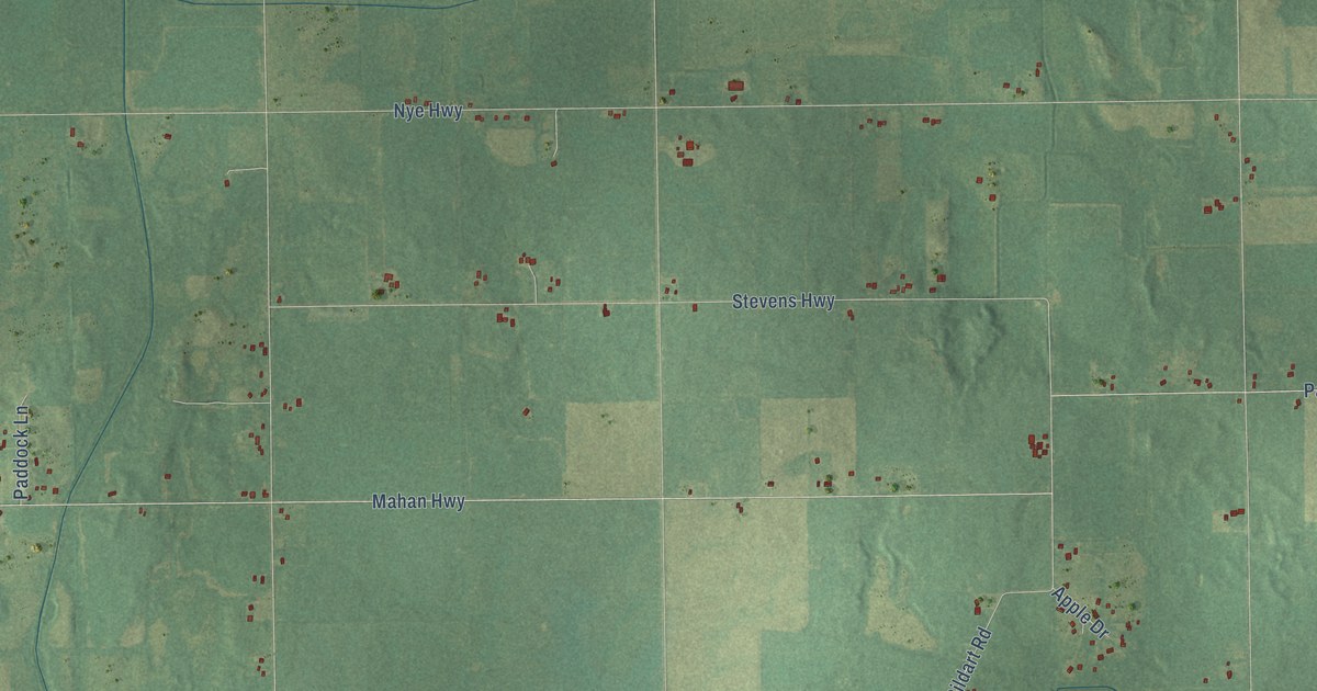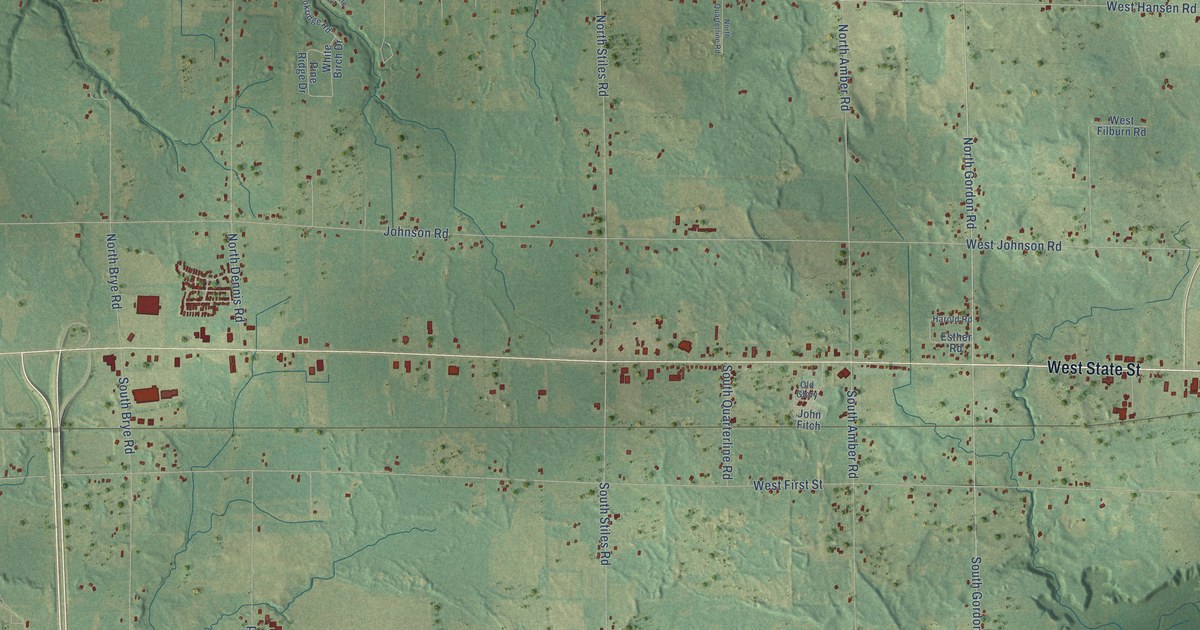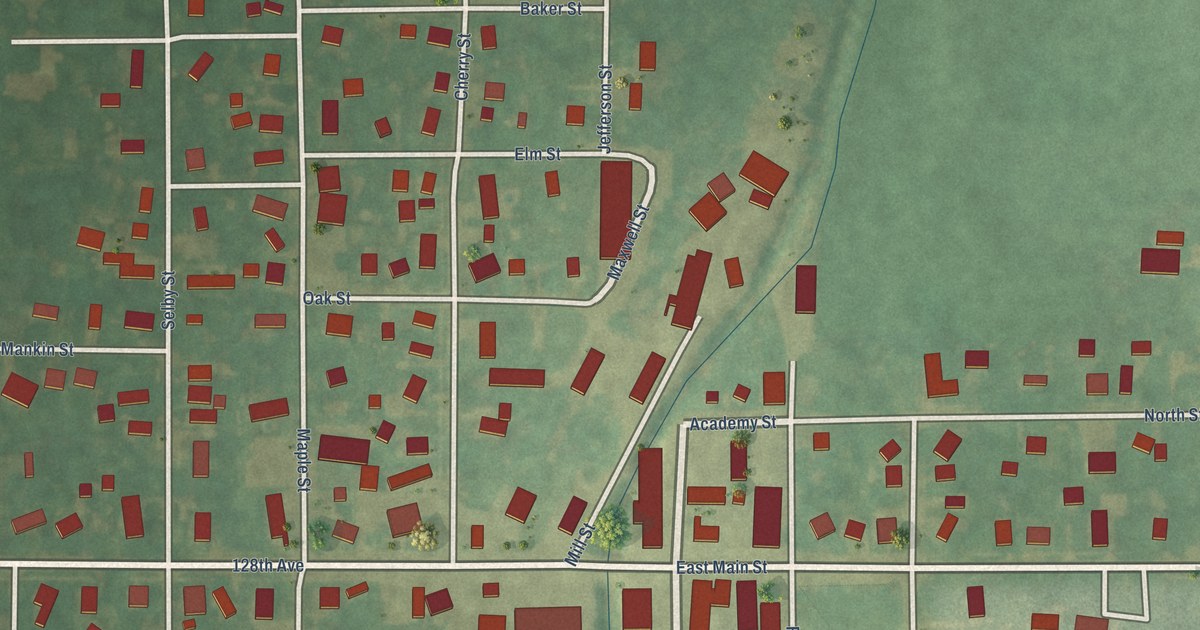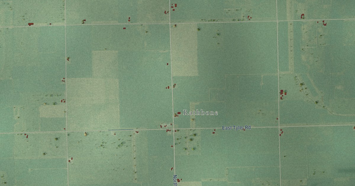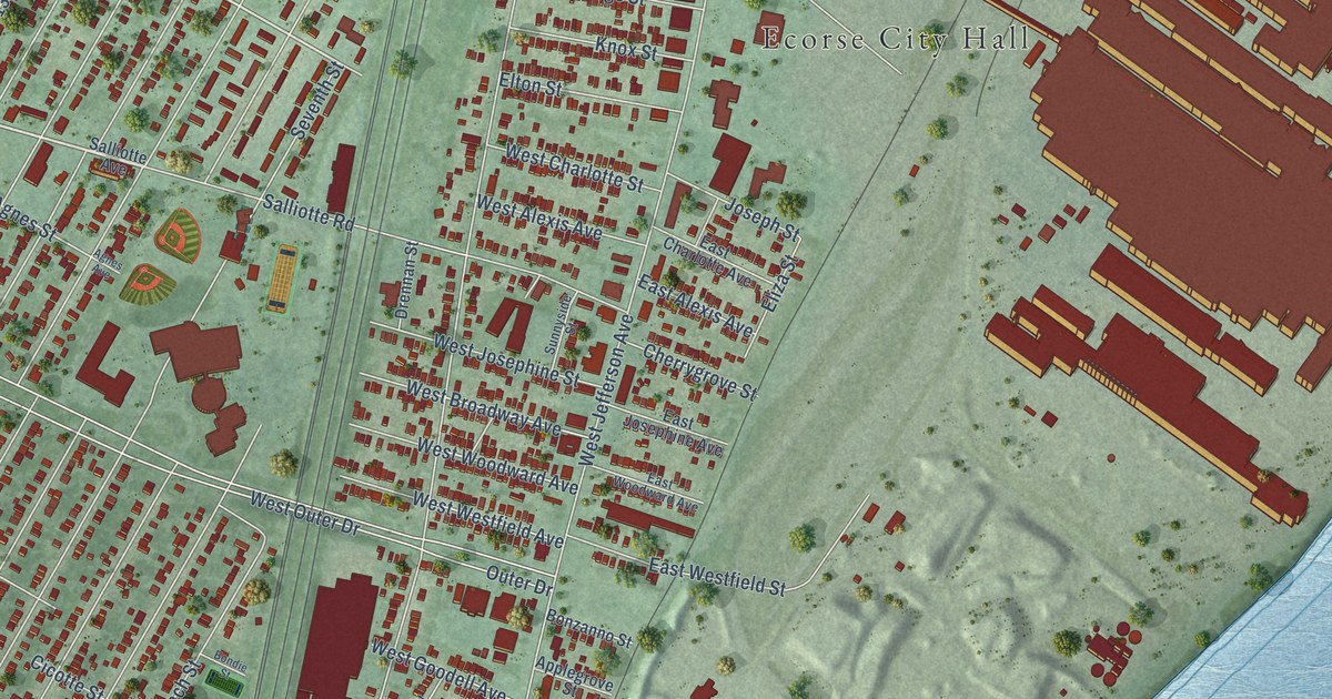
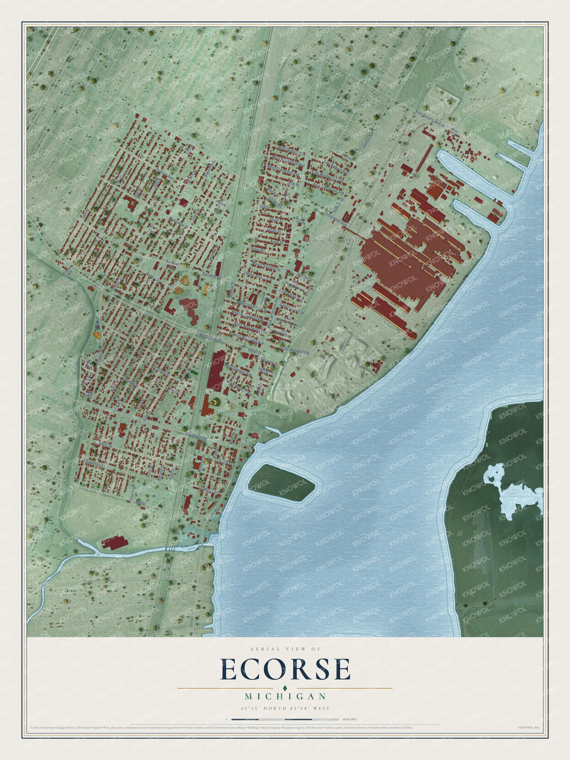
This beautifully detailed map of Ecorse, Michigan was created in 2026 using aerial imagery combined with modern topographical, census, street and landmark data. It's a modern aerial view of Ecorse in Wayne County, Michigan, that combines modern data with a vintage aesthetic. The roads feature printed names, and if you look closely you can find your exact house accurately shown in its correct location.
Explore an aerial view of Ecorse, Michigan
On this map you'll find Ecorse City Hall, John II Avenue, Visger Road, Salliotte Road, Hyacinthe Street, Outer Drive, West Outer Drive, West Jefferson Avenue, High Street, Ninth Street, Eighth Street, Seventh Street, and more. Each red shape is a building, so zoom in on the preview and look for yours.
Ecorse has a story worth telling. The Downriver History and Facts puts it this way: "The site of a shipyard, and an important sawmill, the first plat of the village was recorded in 1834, but incorporation did not take place until 1902, when the name was changed from Grandport to Ecorse."
Ecorse is a city in Wayne County. The Census Bureau counted 9,305 people here in 2020.
Take a closer look at the Ecorse map
Names on this map
These names are printed on this map.
Places: Ecorse City Hall.
Streets and roads: John II Avenue, Visger Road, Salliotte Road, Hyacinthe Street, Outer Drive, West Outer Drive, West Jefferson Avenue, High Street, Ninth Street, Eighth Street, Seventh Street, Tenth Street.
More street names, A to Z
13th Street, 14th Street, 15th Street, 16th Street, 17th Street, 18th Street, 19th Street, Agnes Avenue, Agnes Street, Alexander Court, Applegrove Street, Beach Street, Bell Street, Bondie Street, Bonzanno Street, Bourassa Street, Cherrygrove Street, Cicotte Street, Drennan Street, East Alexis Avenue, East Auburn Avenue, East Charlotte Avenue, East Glenwood Avenue, East Great Lakes Street, East Josephine Avenue, East Rockwood Avenue, East Westfield Street, East Woodward Avenue, Eleventh Street, Eliza Street, Elliott Street, Elton Street, Empire Avenue, Fifth Street, First Street, Fourth Street, Francis Avenue, Francis Street, Great Lakes Avenue, Gr Fink, Hilda Avenue, Ironton Avenue, Ironton Street, Joseph Street, Julie Avenue, Knox Street, Labadie Street, Le Blanc Street, Marie Street, Mill Street, Monroe Street, Orchard Street, Pepper Road, Pitt Street, Reno Street, Ridge Street, Ruth Street, Salliotte Avenue, Second Street, Sixth Street, Southfield Road, Suburban Street, Sunnyside Street, Tecumseh Avenue, Third Street, Twelfth Street, Union Street, Virginia Court, Webster Street, West Alexis Avenue, West Auburn Avenue, West Benson Avenue, West Broadway Avenue, West Charlotte Street, West Glenwood Avenue, West Goodell Avenue, West Josephine Street, West Rockwood Avenue, West Westfield Avenue, West Woodward Avenue, White Street.
Created by KNOWOL in 2026. The buildings are small red shapes, the roads carry their printed names, and shaded relief shows the shape of the land. The title panel reads "AERIAL VIEW OF ECORSE, MICHIGAN" with 42°15' NORTH 83°08' WEST.
It looks right in a kitchen, an office or a den, and it's a gift for anyone who grew up in Ecorse or moved away. Open the preview and find your street. See sizes and frames for the Ecorse map.