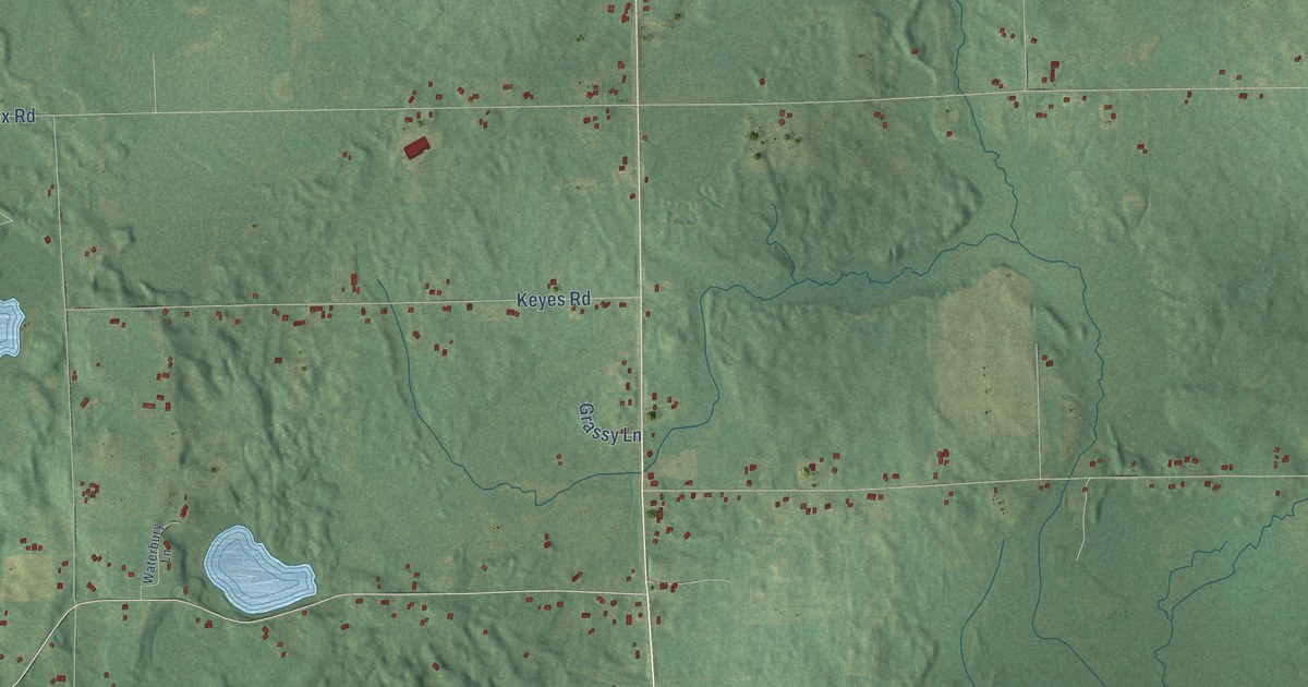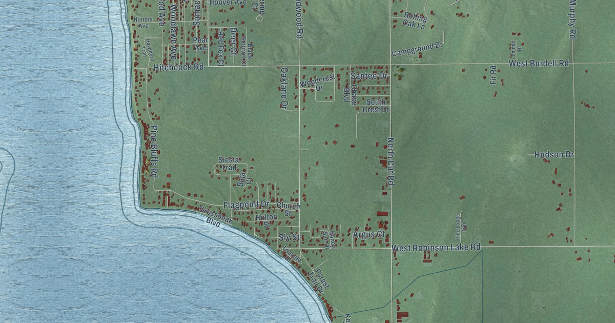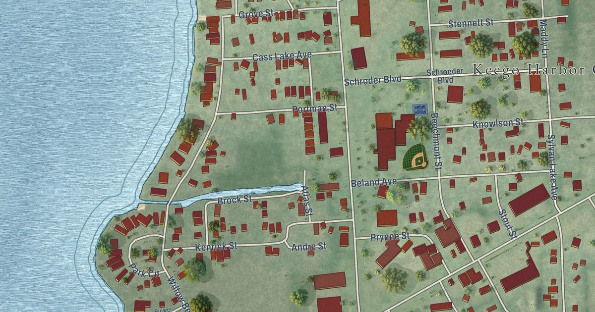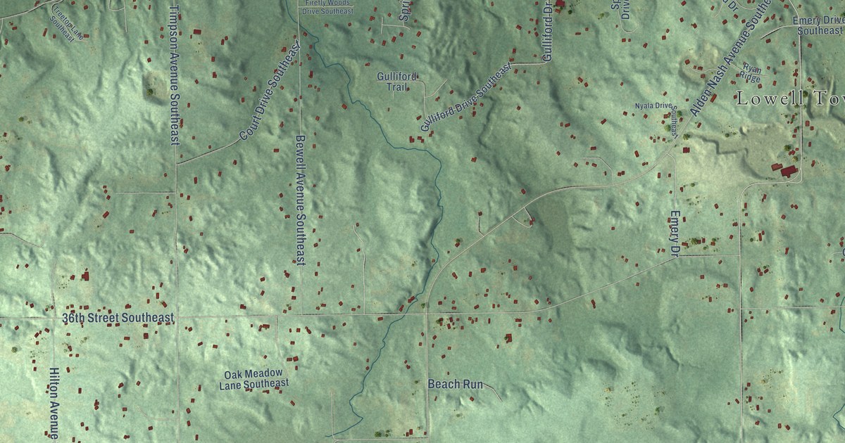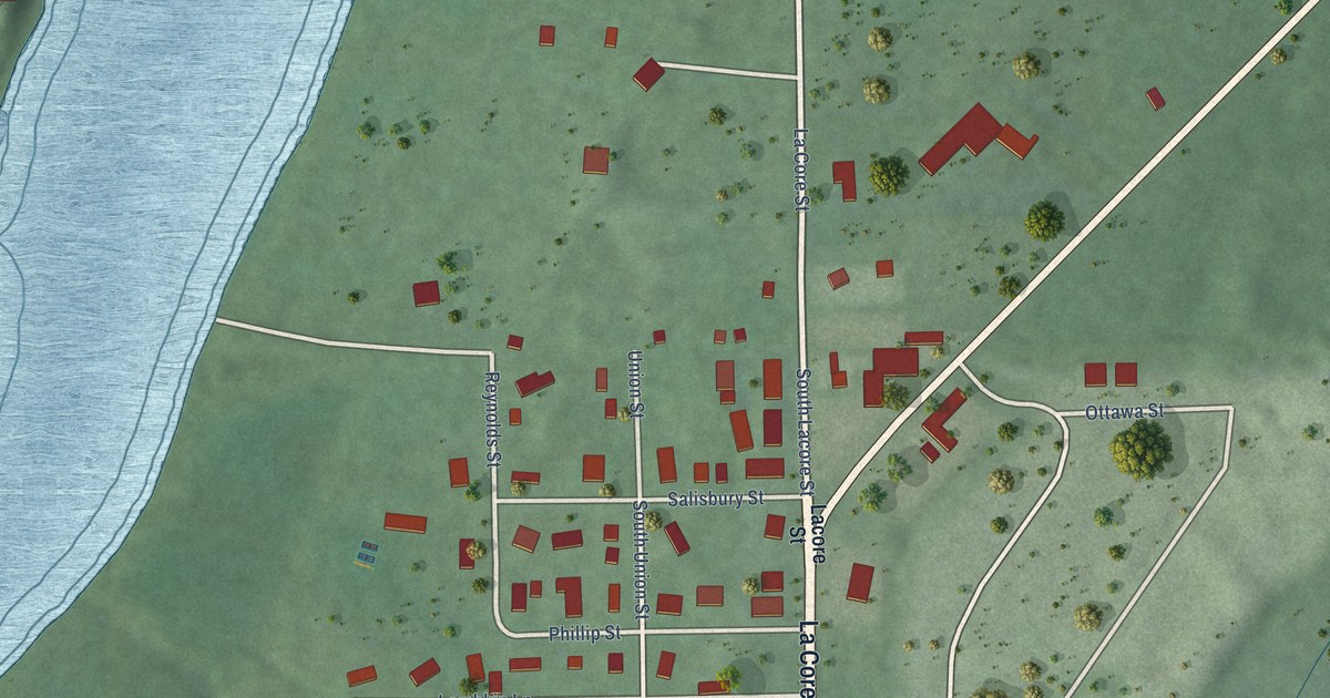
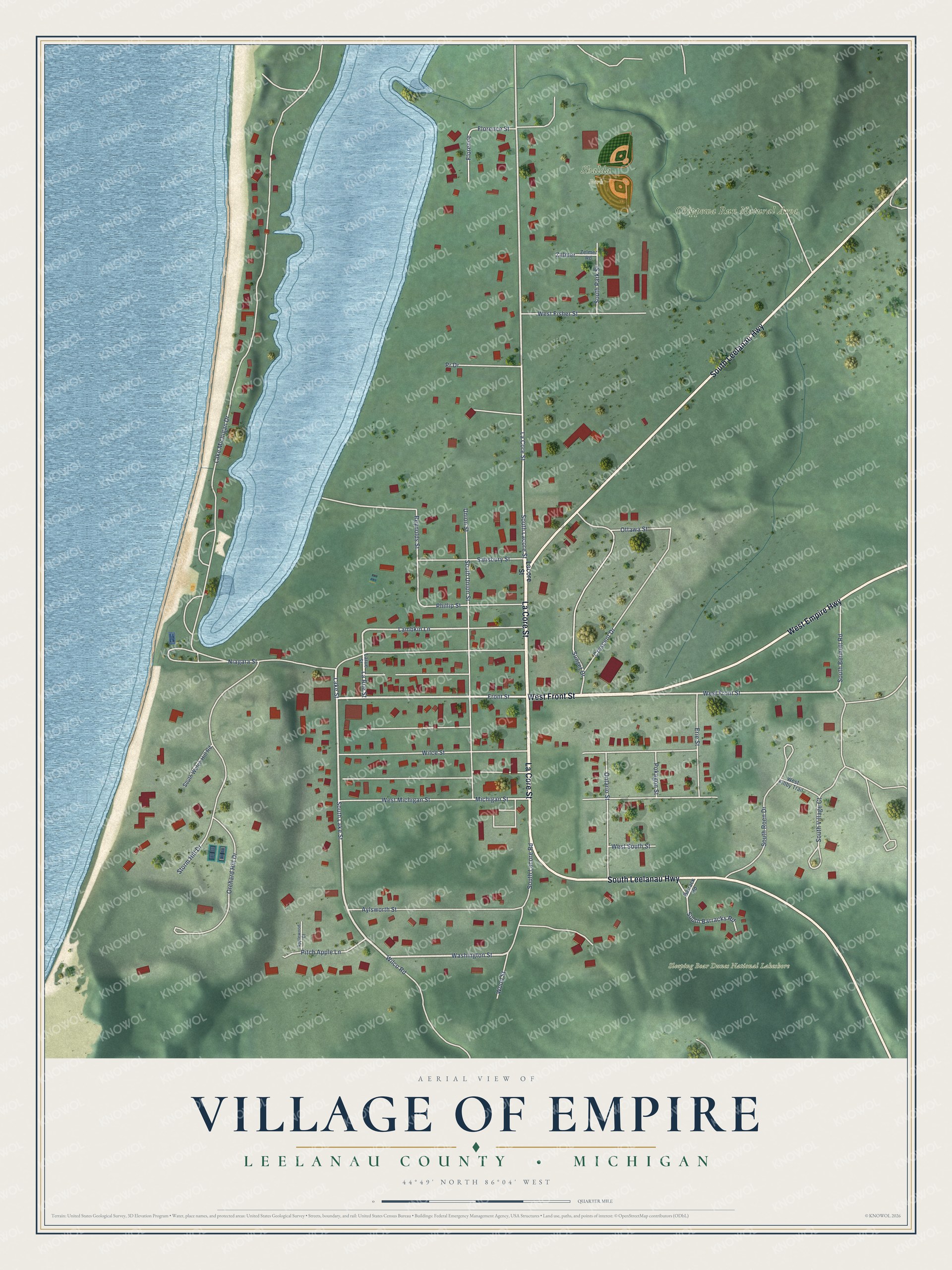
This beautifully detailed map of Empire, Michigan was created in 2026 using aerial imagery combined with modern topographical, census, street and landmark data. It's a modern aerial view of Empire in Leelanau County, Michigan, that combines modern data with a vintage aesthetic. The roads feature printed names, and if you look closely you can find your exact house accurately shown in its correct location.
Explore an aerial view of Empire, Michigan
On this map you'll find Chippewa Run Natural Area, Shalda Park, Sleeping Bear Dunes National Lakeshore, West Front Street, La Core Street, South Leelanau Highway, West Empire Highway, Lake Street, South Lake Street, Front Street, Washington Street, La Rue Street, and more. Each red shape is a building, so zoom in on the preview and look for yours.
Empire has a story worth telling. The History of Northern Michigan and Its People puts it this way: "Of late years the Empire Lumber Company, under its various managements, has been the strong stay of the village, particularly in its development of hardwood manufacturing. The basis of the industry, with its business auxiliaries, was laid in 1887 when the T. Wilce Company bought the mill formerly operated by Potter & Struthers."
Empire is a village in Leelanau County. The Census Bureau counted 362 people here in 2020.
Take a closer look at the Empire map
Names on this map
These names are printed on this map.
Places: Chippewa Run Natural Area, Shalda Park and Sleeping Bear Dunes National Lakeshore.
Streets and roads: West Front Street, La Core Street, South Leelanau Highway, West Empire Highway, Lake Street, South Lake Street, Front Street, Washington Street, La Rue Street, South Lacore Street, Lambkin Lane, South Lacore Road.
More street names, A to Z
Applewood Court, Aylsworth Street, Barrack Road, Crescent Drive, Erie Street, Florence, Florence Street, Lacore Street, Lake Michigan Drive, Larue Street, Michigan Street, Niagara Street, Ontario Street, Orchard Hill Drive, Ottawa Street, Phillip Street, Pitch Apple Lane, Pokagon Street, Pr Drive, Reynolds Street, Salisbury Street, South Barracks Road, South Bennett Road, South Park Street, South Roen Drive, South Union Street, South Village Court, South Watch Hill Road, Storm Hill Drive, Sunset Drive, Union Street, West Fillby Trail, West Fisher Street, West Michigan Street, West South Street, Wilce Street, Wilco Road, Wood Street, Zelmer, Zelmer Road.
Created by KNOWOL in 2026. The buildings are small red shapes, the roads carry their printed names, and shaded relief shows the shape of the land. The title panel reads "AERIAL VIEW OF VILLAGE OF EMPIRE, LEELANAU COUNTY • MICHIGAN" with 44°49' NORTH 86°04' WEST.
It looks right in a kitchen, an office or a den, and it's a gift for anyone who grew up in Empire or moved away. Open the preview and find your street. See sizes and frames for the Empire map.