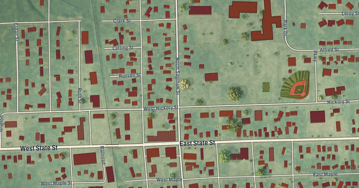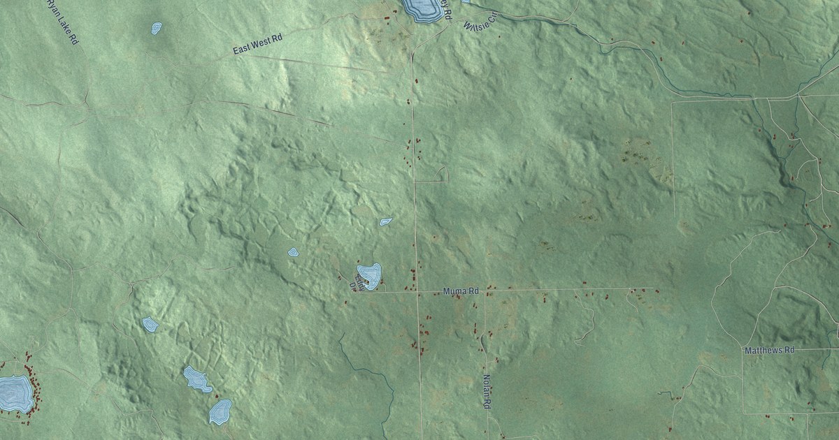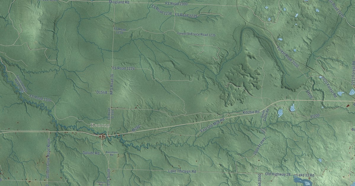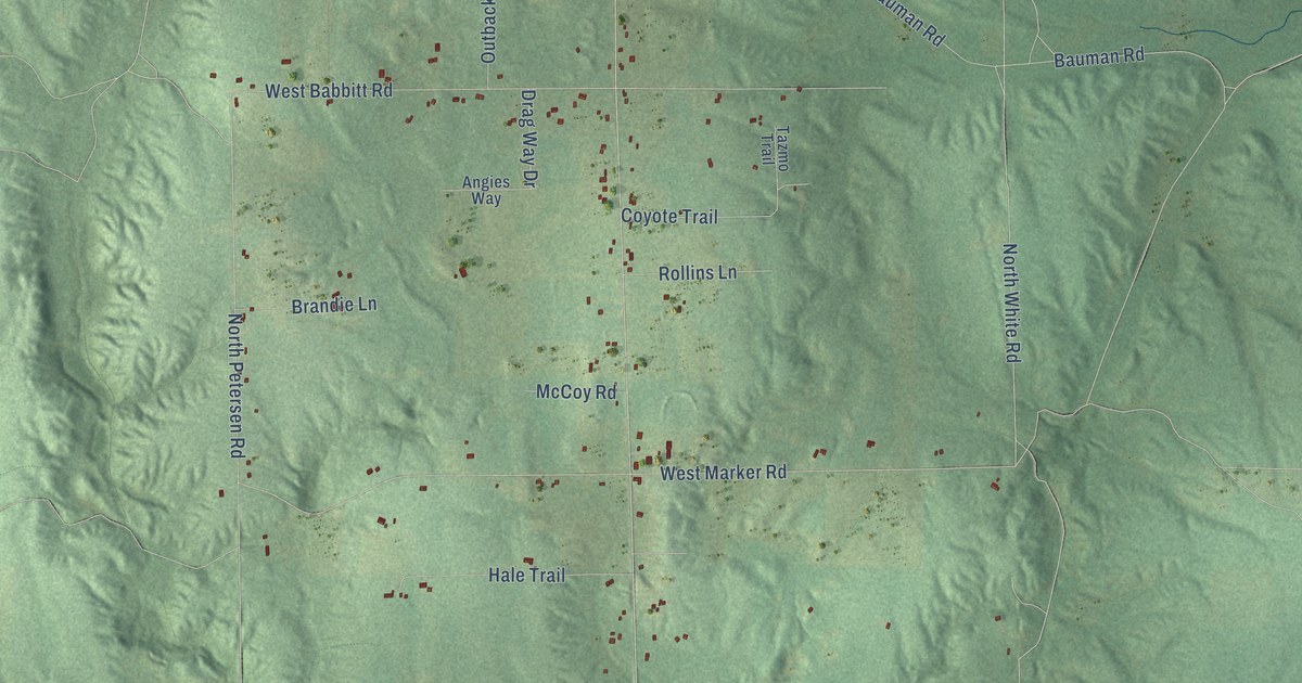
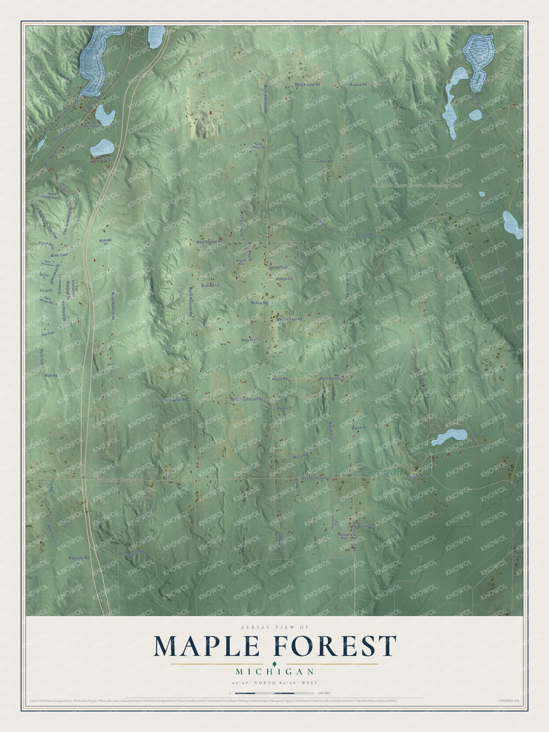
This beautifully detailed map of Maple Forest, Michigan was created in 2026 using aerial imagery combined with modern topographical, census, street and landmark data. It's a modern aerial view of Maple Forest in Crawford County, Michigan, that combines modern data with a vintage aesthetic. The roads feature printed names, and if you look closely you can find your exact house accurately shown in its correct location.
Explore an aerial view of Maple Forest, Michigan
On this map you'll find Forbush Corner, Au Sable State Forest – Grayling Unit, North Bear Lake Road, West Co Road 612, North Sherman Road, Gardenia Trail, Krause Road, West Krause Road, North White Road, Hartwick Pines Road, North Bauman Road, Phillion Trail, and more. Each red shape is a building, so zoom in on the preview and look for yours.
The Census Bureau counted 598 people here in 2020. The map prints the town name in its title panel, with the coordinates below it.
Take a closer look at the Maple Forest map
Names on this map
These names are printed on this map.
Places: Forbush Corner and Au Sable State Forest - Grayling Unit.
Streets and roads: North Bear Lake Road, West County Road 612, North Sherman Road, Gardenia Trail, Krause Road, West Krause Road, North White Road, Hartwick Pines Road, North Bauman Road, Phillion Trail, Bradford Lake Drive, North Roberts Road.
More street names, A to Z
Aaron, Angies Way, Azalea Trail, Bauman Road, Brandie Lane, Briggs Road, Bruun Trail, Buck Trail, Bud North Jake Trail, Calker Road, Coyote Trail, Daffodil Trail, Doe Trail, Drag Way Drive, East Donnybrook, East Greenway Drive, Elmwood Lane, Feldhauser Road, Forest Hill Drive, Foxcroft, Green Acre Drive, Greenway Drive, Hale Trail, Hardwood Trail, Hillcrest Road, House Road, Ken Pen, Laran Lane, Mastej Drive, May Lake Road, McCoy Road, Murtz Road, Nicholas Lane, North Donnybrook, North Greenway Drive, Northland Drive, North Petersen Road, North Worthy Lane, Old 27 North, Outback Trail, Partridge Street, Plegans Road, Primrose Trail, Ramer Court, Roger Road, Rollins Lane, Spy Trail, Tank Trail, Tazmo Trail, Twin Peaks Road, Wapak Trail, Wayland Drive, West Adams Drive, West Babbitt Road, West Feldhauser Road, West House Road, West Marker Road, West Townline Road, Wilhelm Lane, Wine Sap Trail, Winterport, Wolf Road, Wyskiel Lane.
Created by KNOWOL in 2026. The buildings are small red shapes, the roads carry their printed names, and shaded relief shows the shape of the land. The title panel reads "AERIAL VIEW OF MAPLE FOREST, MICHIGAN" with 44°49' NORTH 84°40' WEST.
It looks right in a kitchen, an office or a den, and it's a gift for anyone who grew up in Maple Forest or moved away. Open the preview and find your street. See sizes and frames for the Maple Forest map.