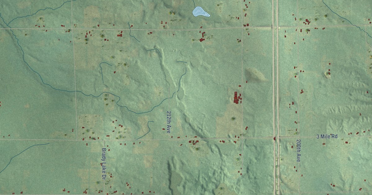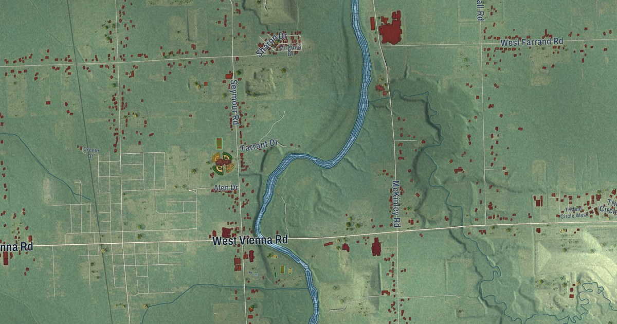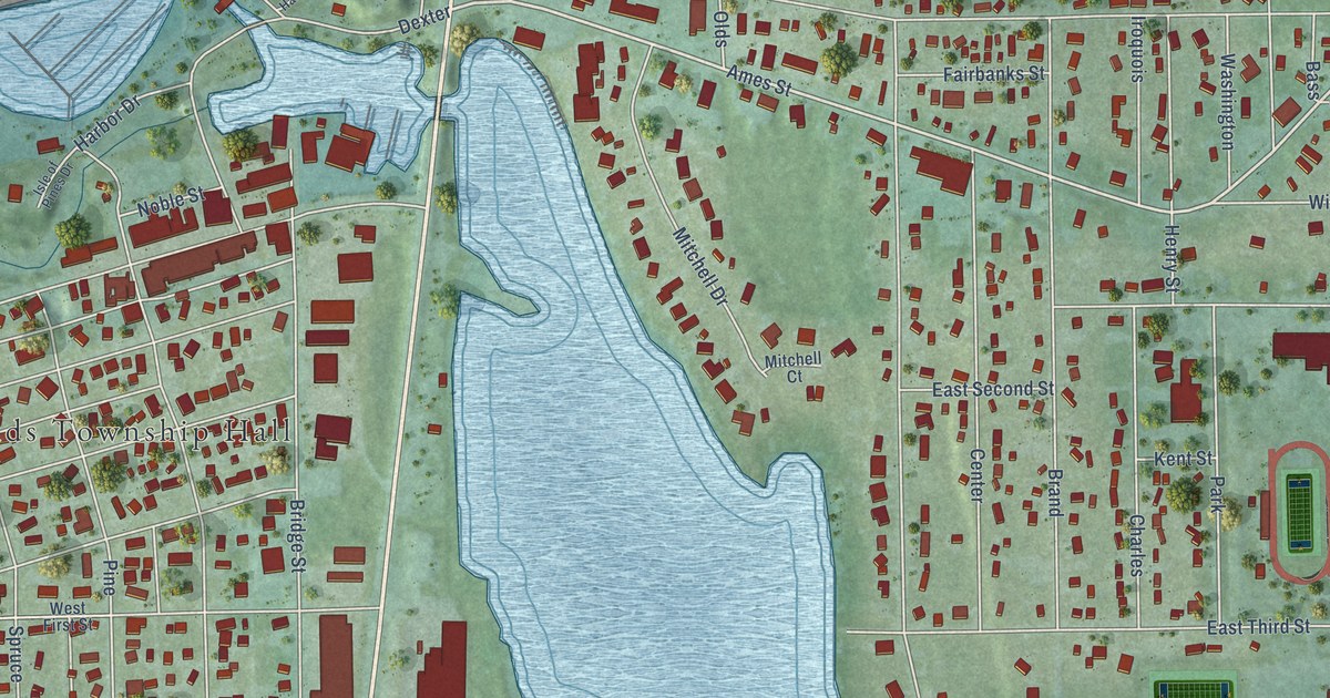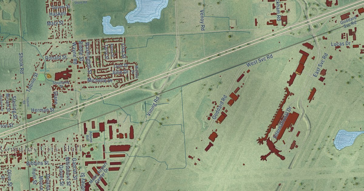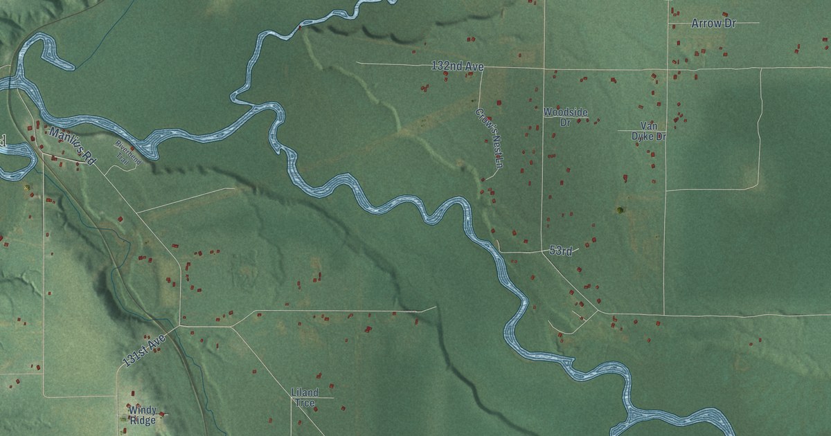
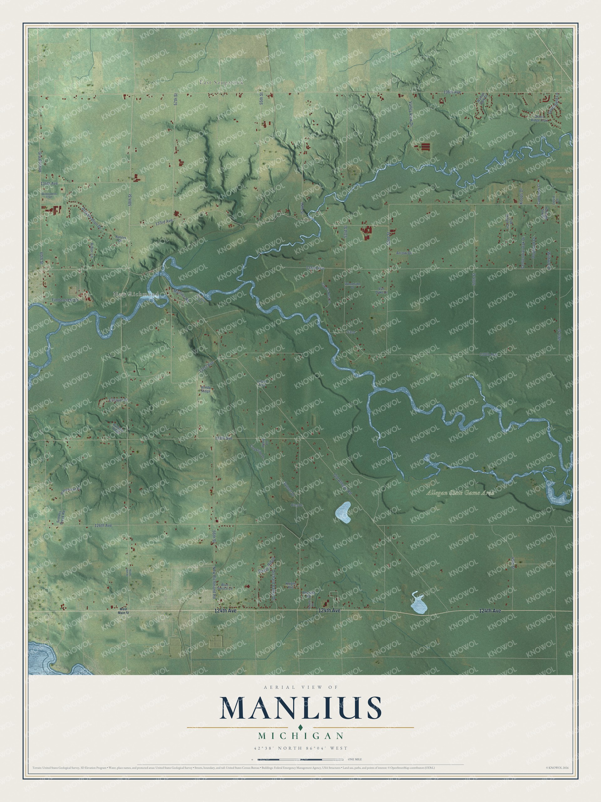
This beautifully detailed map of Manlius, Michigan was created in 2026 using aerial imagery combined with modern topographical, census, street and landmark data. It's a modern aerial view of Manlius in Allegan County, Michigan, that combines modern data with a vintage aesthetic. The roads feature printed names, and if you look closely you can find your exact house accurately shown in its correct location.
Explore an aerial view of Manlius, Michigan
On this map you'll find East Saugatuck, New Richmond, Allegan State Game Area, 124th Avenue, 58th Street, 131st Avenue, 55th Street, 57th Street, Old Allegan Road, 136th Avenue, 133rd Avenue, 126th Avenue, and more. Each red shape is a building, so zoom in on the preview and look for yours.
Manlius has a story worth telling. The History of Allegan and Barry Counties puts it this way: "The township of Manlius, previously a part of Newark, was organized by an act of the Legislature approved March 6, 1838. It received its name from John R. Kellogg, a member of the Legislature, who presented the petition for organization, and who, having been born in Manlius, N. Y., desired to honor his native place."
The Census Bureau counted 3,312 people here in 2020.
Take a closer look at the Manlius map
Names on this map
These names are printed on this map.
Places: East Saugatuck, New Richmond and Allegan State Game Area.
Streets and roads: 124th Avenue, 58th Street, 131st Avenue, 55th Street, 57th Street, Old Allegan Road, 136th Avenue, 133rd Avenue, 126th Avenue, 130th Avenue, 132nd Avenue, 128th Avenue.
More street names, A to Z
48th Street, 49th Street, 50th Street, 52nd Street, 53rd, 53rd Street, 54th Street, 56th Street, 60th Street, 134th Avenue, Arbor Lane, Arrow Drive, Blue Spruce Lane, Castleview Court, Centennial Oak Drive, Creekside Drive, Crow's Nest Lane, Dalton Ridge, Dogwood Drive, Ellcourt Drive, Graafschap, Greenfield Lane, Green Ridge Trail, Henry Lane, Heritage South, Homestead Court, Hunters Ridge, King Drive, Knight Avenue, Koops Drive, Liland Trce, Livvie Lane, Manlius Road, Natilyn Drive, New Richmond Road, North 58th Street, Oak Ridge Circle, Orchard Valley Drive, Preservation Drive, Retreat Road, Reveille Road, Riverbend Trail, Settlers Creek Road, Sunset Drive, Timbercrest Lane, Valley View Drive, Van Dyke Drive, Walnut Park Drive, West Main Street, Wilderness Trail, Wildwood, Windy Ridge, Woodside Drive.
Created by KNOWOL in 2026. The buildings are small red shapes, the roads carry their printed names, and shaded relief shows the shape of the land. The title panel reads "AERIAL VIEW OF MANLIUS, MICHIGAN" with 42°38' NORTH 86°04' WEST.
It looks right in a kitchen, an office or a den, and it's a gift for anyone who grew up in Manlius or moved away. Open the preview and find your street. See sizes and frames for the Manlius map.