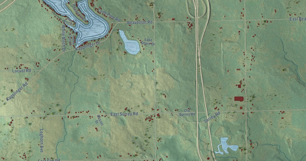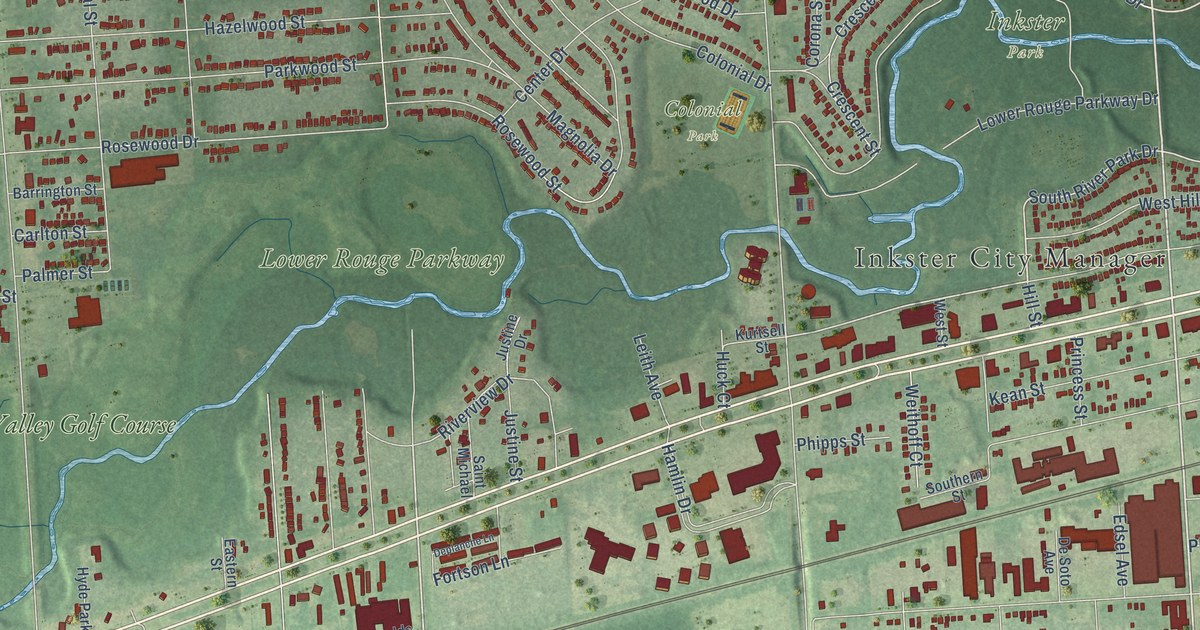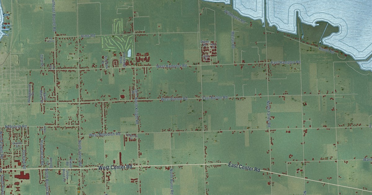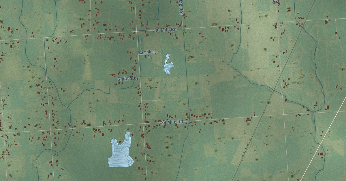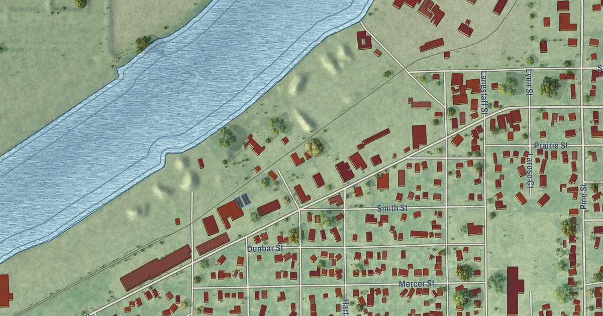
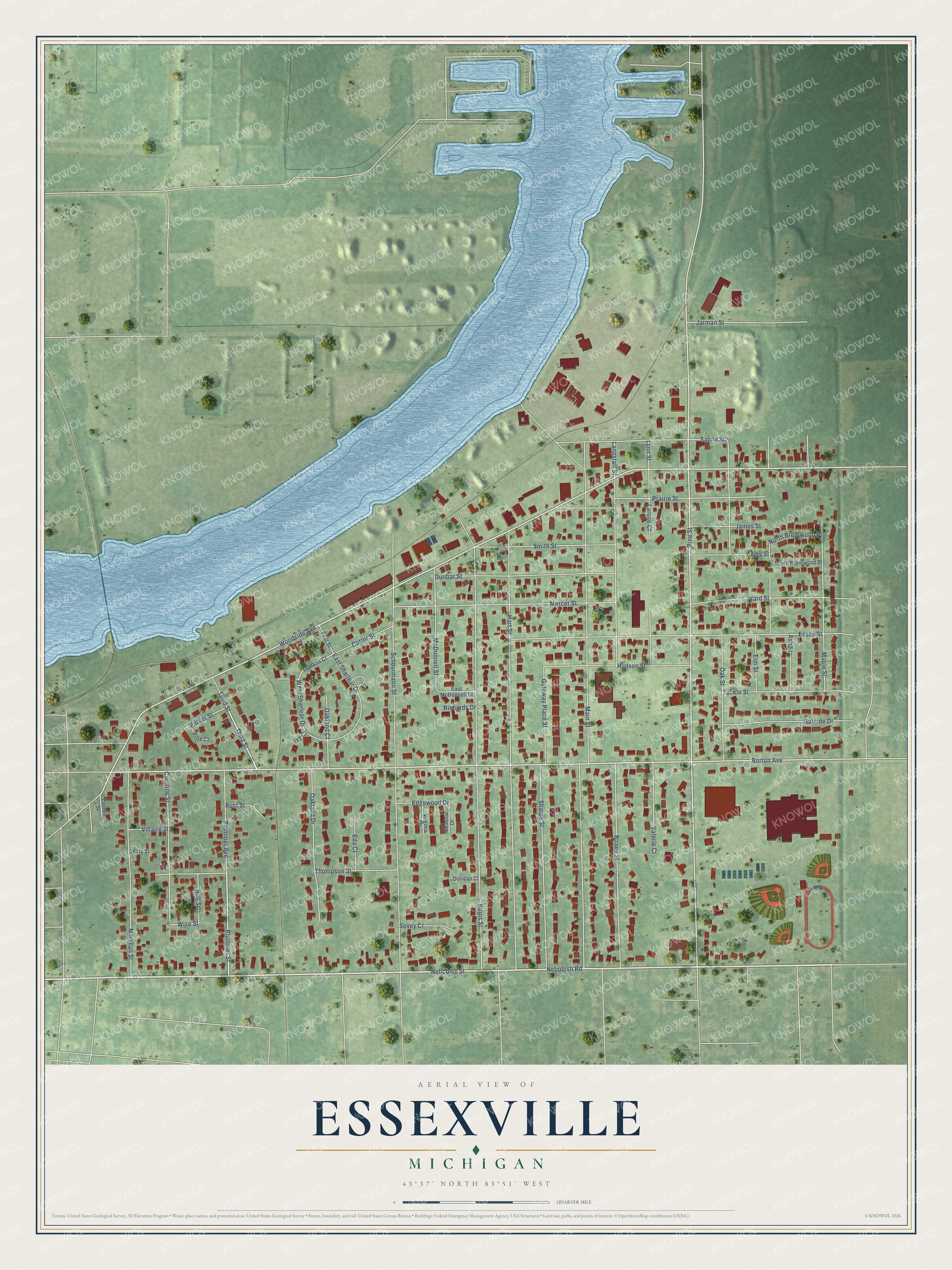
This beautifully detailed map of Essexville, Michigan was created in 2026 using aerial imagery combined with modern topographical, census, street and landmark data. It's a modern aerial view of Essexville in Bay County, Michigan, that combines modern data with a vintage aesthetic. The roads feature printed names, and if you look closely you can find your exact house accurately shown in its correct location.
Explore an aerial view of Essexville, Michigan
On this map you'll find Nebobish Street, Nebobish Road, Woodside Avenue, Pine Street, Borton Avenue, Plummer Street, Third Street, Wise Street, Main Street, Burns Street, Hart Street, Scheurmann Street, and more. Each red shape is a building, so zoom in on the preview and look for yours.
Essexville has a story worth telling. The History of Bay County puts it this way: "The industries of the township center in Essexville, and it was there that the first beet sugar factory, the Michigan, was built in 1898, to be closely followed by the mammoth Bay City Sugar Factory."
Essexville is a city in Bay County. The Census Bureau counted 3,379 people here in 2020.
Take a closer look at the Essexville map
Names on this map
These names are printed on this map.
Streets and roads: Nebobish Street, Nebobish Road, Woodside Avenue, Pine Street, Borton Avenue, Plummer Street, Third Street, Wise Street, Main Street, Burns Street, Hart Street, Scheurmann Street.
More street names, A to Z
Ames Street, Ash Street, Birney Street, Caroline Street, Cornell Street, Cotter Street, Deary Street, Doriean Court, Dunbar Street, East McDonnell Street, East Sharlear Drive, Eda Court, Edgewood Drive, Elm Street, Essex Street, First Street, Franklin Court, Garside Drive, Gateway Place Street, Hall Street, Hudson Street, Ivy Court, James Street, Jarman Street, Langstaff Street, Larose Court, Lynn Street, Maple Street, Marshall Street, McDonnell Street, Meadow Drive, Mercer Street, North Brentwood Place, Oakland Court, Oakland Drive, Oak Street, Parker Street, Pitre Court, Plummer Avenue, Prairie Street, Richards Drive, Rust Street, Saline Street, Sharpe Street, Smith Street, South Brentwood Place, Sovey Court, Tackle Street, Thompson Street, Valerie Court, Villaire Street, Virginia Drive, Ward Street, West Sharlear Drive.
Created by KNOWOL in 2026. The buildings are small red shapes, the roads carry their printed names, and shaded relief shows the shape of the land. The title panel reads "AERIAL VIEW OF ESSEXVILLE, MICHIGAN" with 43°37' NORTH 83°51' WEST.
It looks right in a kitchen, an office or a den, and it's a gift for anyone who grew up in Essexville or moved away. Open the preview and find your street. See sizes and frames for the Essexville map.