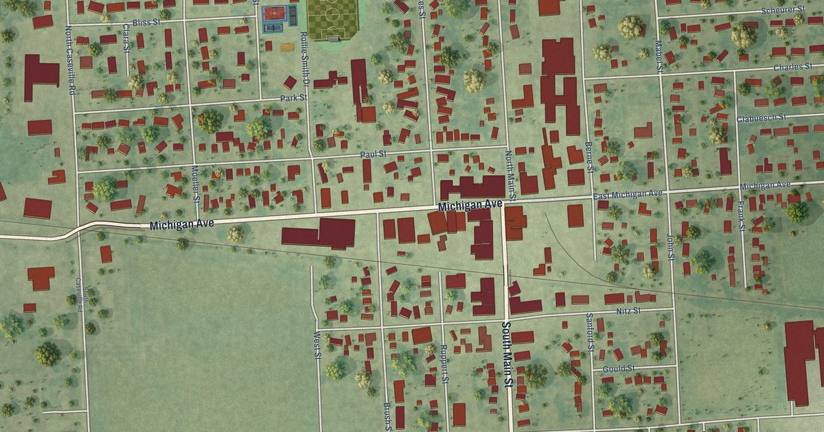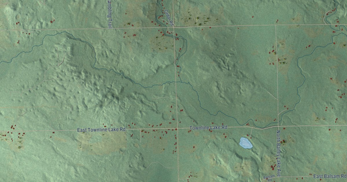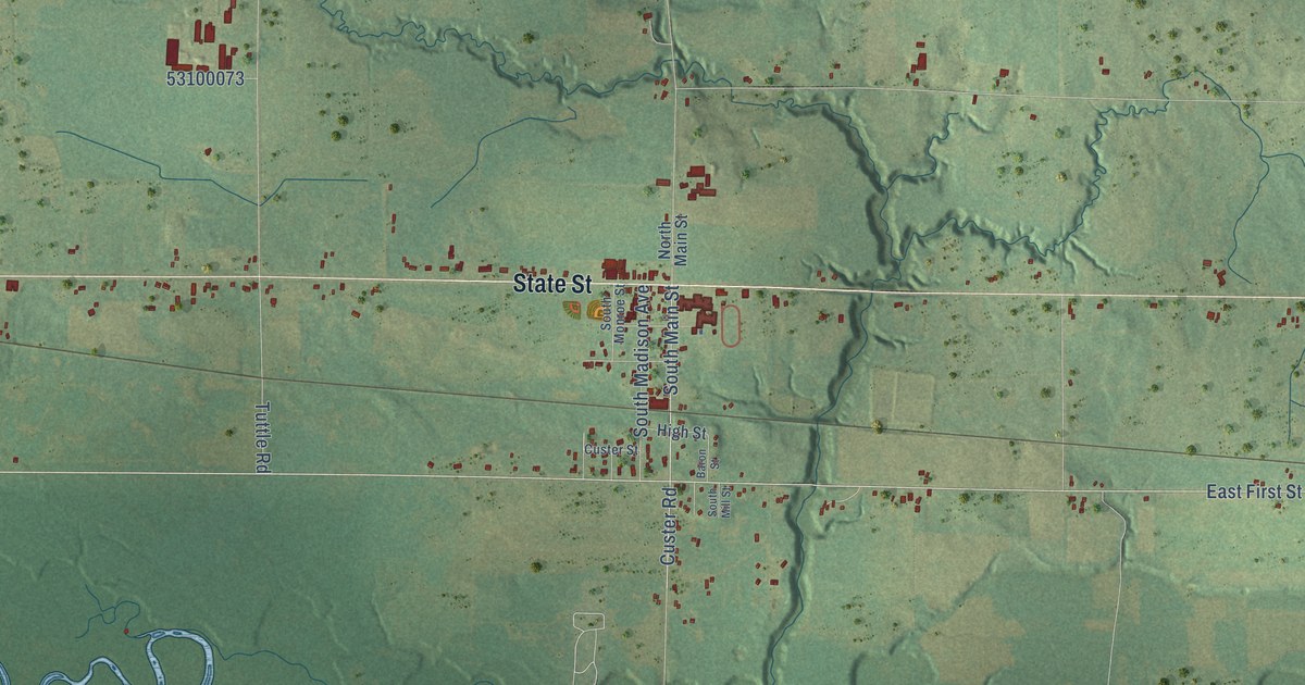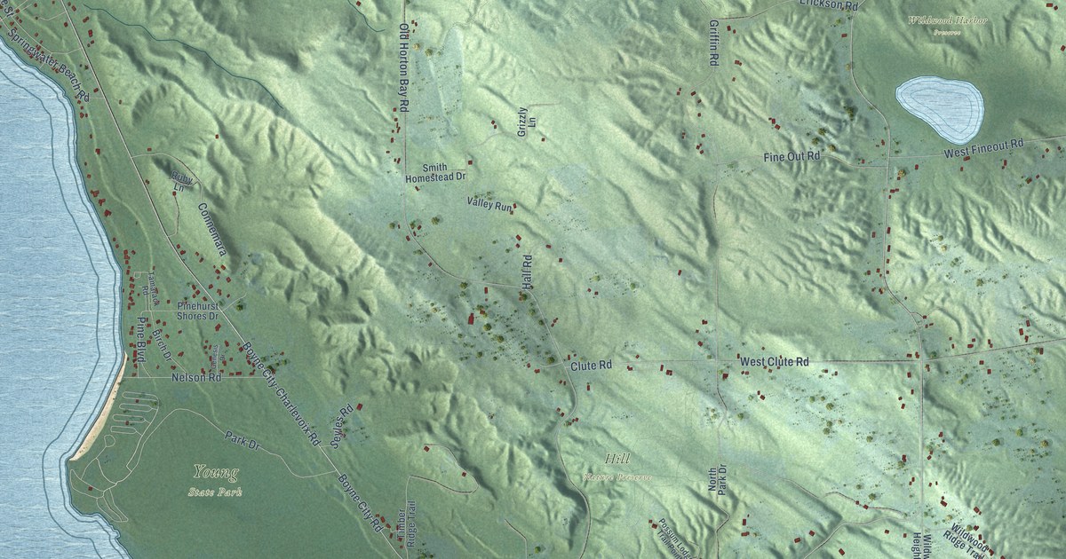
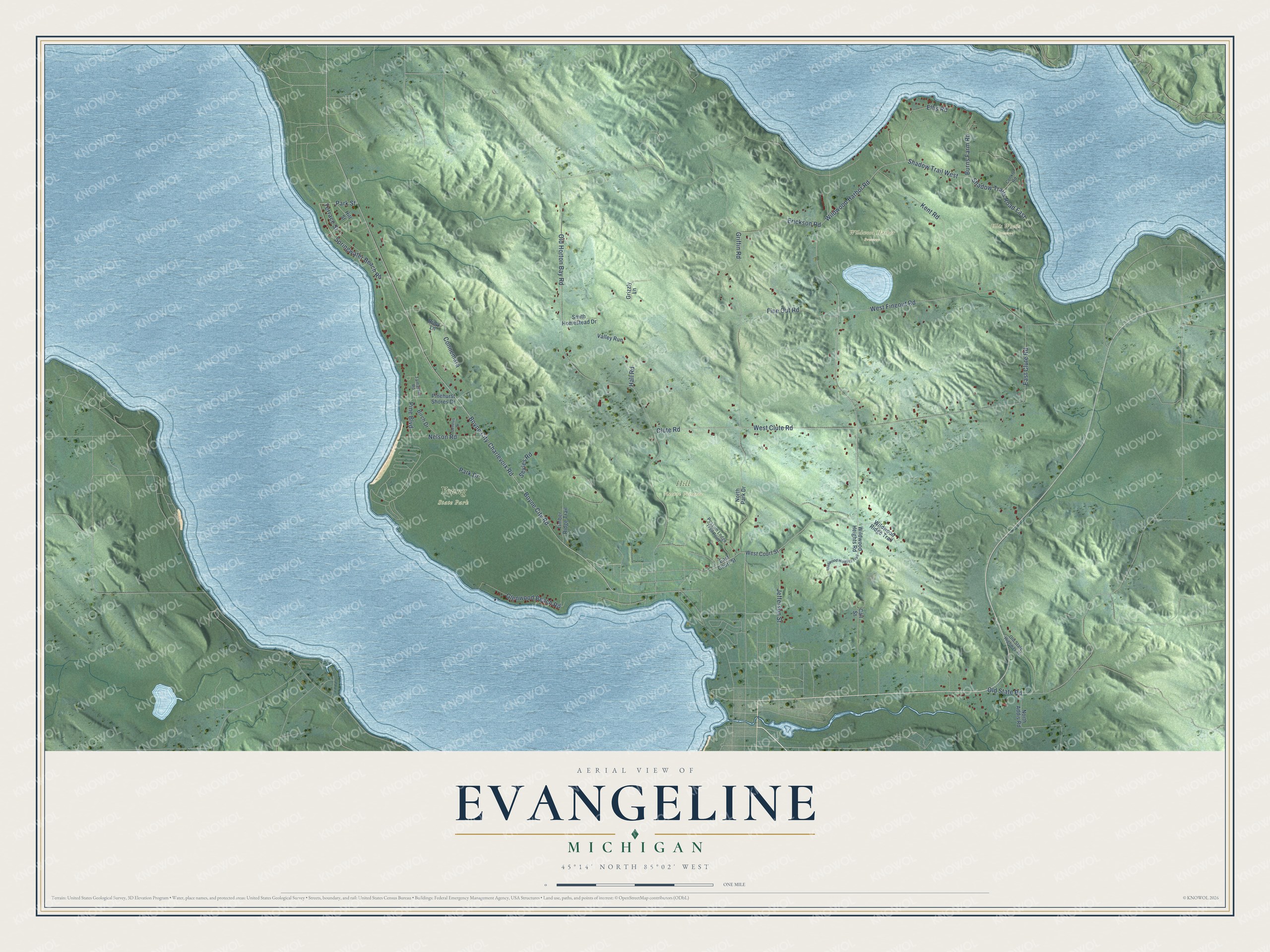
This beautifully detailed map of Evangeline, Michigan was created in 2026 using aerial imagery combined with modern topographical, census, street and landmark data. It's a modern aerial view of Evangeline in Charlevoix County, Michigan, that combines modern data with a vintage aesthetic. The roads feature printed names, and if you look closely you can find your exact house accurately shown in its correct location.
Explore an aerial view of Evangeline, Michigan
On this map you'll find Ellis Woods Preserve, Hill Nature Preserve, Wildwood Harbor Preserve, Young State Park, Wildwood Harbor Road, Boyne City Road, Boyne City-Charlevoix Road, Shadow Trail West, Park Street, Old State Road, West Clute Road, Old Horton Bay Road, and more. Each red shape is a building, so zoom in on the preview and look for yours.
Every town has a first chapter, and Evangeline is no exception. The James S. Hannum puts it this way: "Albert W. Olds built a sawmill and a planing mill on Walloon Lake in 1882. They were sited on property that is now part of Camp Michigania, in Section 3 of Evangeline Township."
The Census Bureau counted 767 people here in 2020.
Take a closer look at the Evangeline map
Names on this map
These names are printed on this map.
Places: Ellis Woods Preserve, Hill Nature Preserve, Wildwood Harbor Preserve and Young State Park.
Streets and roads: Wildwood Harbor Road, Boyne City Road, Boyne City-Charlevoix Road, Shadow Trail West, Park Street, Old State Road, West Clute Road, Old Horton Bay Road, Griffin Road, West Fineout Road, Kent Road, Park Drive.
More street names, A to Z
Birch Drive, Burns Farm Road, Call Street, Clute Road, Conkle Road, Connemara, East Clute Road, East Court Street, Ellis Road, Erickson Road, Fine Out Road, Genesis Drive, Glenwood Beach Road, Grizzly Lane, Hall Road, Hill Street, Jefferson Street, Nelson Road, North Addis Road, North Park Drive, Old State Highway 75, Pine Boulevard, Pinehurst Shores Drive, Possum Lodge Trail Point, Ruby Lane, Seyles Road, Shadow Trails Road East, Smith Homestead Drive, Springwater Beach Road, Tamarack Road, Terrace Street, Timber Ridge Trail, Valley Run, West Court Street, Wildwood Heights Road, Wildwood Heights Trail, Wildwood Ridge Trail.
See it on a wall
The Evangeline map as a framed print. Swipe for more.


Created by KNOWOL in 2026. The buildings are small red shapes, the roads carry their printed names, and shaded relief shows the shape of the land. The title panel reads "AERIAL VIEW OF EVANGELINE, MICHIGAN" with 45°14' NORTH 85°02' WEST.
Hang it in the hallway, the office or the cabin, or give it to someone who left Evangeline and still calls it home. Open the preview and look for a street you know. See sizes and frames for the Evangeline map.