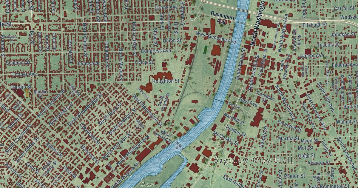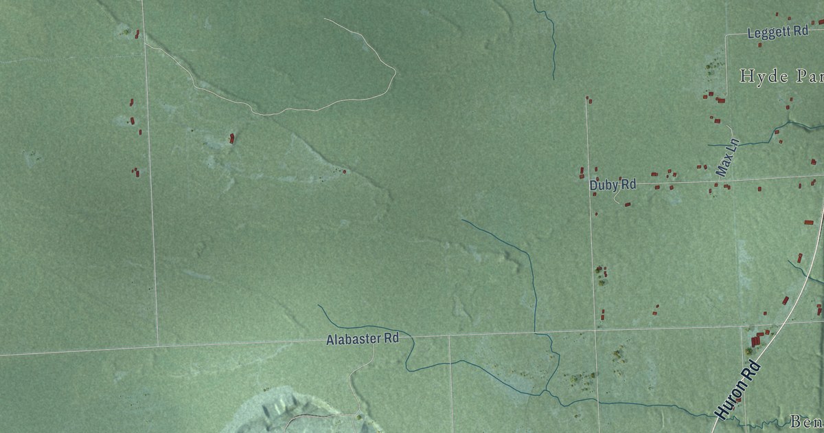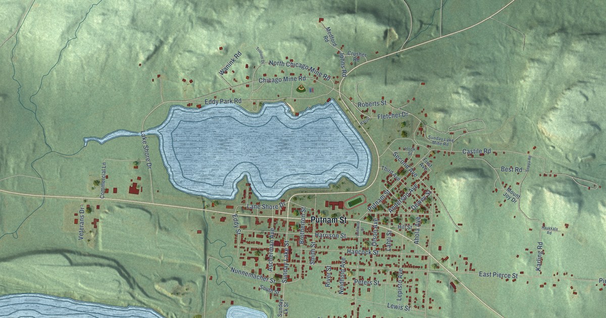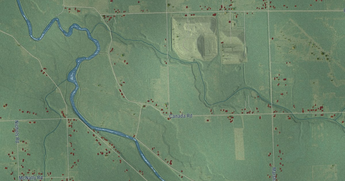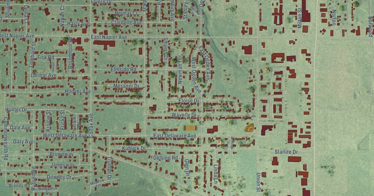
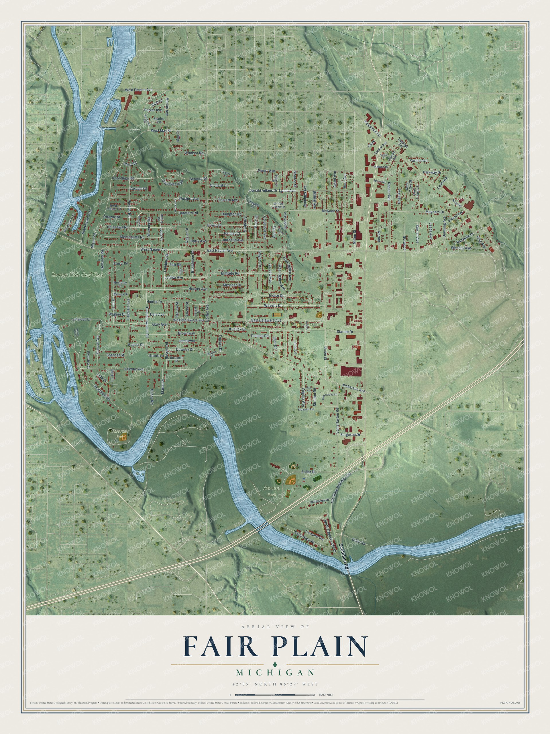
This beautifully detailed map of Fair Plain, Michigan was created in 2026 using aerial imagery combined with modern topographical, census, street and landmark data. It's a modern aerial view of Fair Plain in Berrien County, Michigan, that combines modern data with a vintage aesthetic. The roads feature printed names, and if you look closely you can find your exact house accurately shown in its correct location.
Explore an aerial view of Fair Plain, Michigan
On this map you'll find Benton Park, Carronde Park, Berrien Hills Golf Club, Scottdale Road, Marion Avenue, West Napier Avenue, Bluff Court, East Napier Avenue, Ogden Avenue, Riverbend Drive, Colfax Avenue, Union Street, and more. Each red shape is a building, so zoom in on the preview and look for yours.
Here is a piece of Fair Plain history. Fair Plain sat in the center of Michigan's famous fruit belt. Robert Cushing Thayer came from Maine in 1873 knowing Michigan only as fruit country, chose Fair Plain as the best place for his farm, and grew grapes, peaches, pears, apples and cherries on 38 and a half acres. Joseph Richards grew peaches on his farm at Napier and Fair Plain Avenue, and each summer he took in 25 to 30 boarders at what was known as the Richards resort. That's from the Twentieth Century History of Berrien County.
Fair Plain is a community in Berrien County. The Census Bureau counted 7,402 people here in 2020.
Take a closer look at the Fair Plain map
Names on this map
These names are printed on this map.
Places: Benton Park, Carronde Park and Berrien Hills Golf Club.
Streets and roads: Scottdale Road, Marion Avenue, West Napier Avenue, Bluff Court, East Napier Avenue, Ogden Avenue, Riverbend Drive, Colfax Avenue, Union Street, Pipestone Road, Broadway, Nickerson Avenue.
More street names, A to Z
Agard Avenue, August Drive, Benjamin Street, Berrien Avenue, Berrien Hills Court, Bishop Avenue, Blackhawk Trail, Bradford Road, Brenda Road, Broadmoor Drive, Brownway, Carlton Avenue, Cayuga Road, Cherokee Trail, Chippewa Road, Clardelle Avenue, Clark, Columbus Avenue, Commonwealth Road, Connell Court, Coolidge Avenue, Dale Avenue, Delsing Road, Diller Road, Donald Adkins Drive, Downey Drive, Downing Avenue, East Delaware Avenue, Eastern Avenue, East Ogden Avenue, Elizabeth Avenue, Elmside Road, Elm Terrace, Eloise Drive, Elvern Drive, Emery Avenue, Emery Terrace, Fairplain Avenue, Ferguson Drive, Fisk Road, Fricke Street, Gary Avenue, Gerald Street, Glen Drive, Golfview Road, Hadley Road, Hampton Road, Harry Avenue, Heath Court, Helmar Court, Hoover Avenue, Hornack Road, Hunter Drive, Hurd Avenue, Indiana Avenue, Indiana Drive, Jakway Avenue, Jamesway, Jennings Avenue, Jennings Street, King Avenue, King Road, Krolow Street, Kublick Drive, Leeds Avenue, Linda Lane, Lombard Street, Lora Drive, Lormar Avenue, Lu Al Drive, Lynch Avenue, Lynn Avenue, Lynwood Drive, Lyola Court, Manorwood Circle, Marral Drive, Mawmee Road, May Court, Maynard Drive, McKann Street, Meadow Terrace, Messner Drive, Miami Road, Milton Street, Moccasin Trail, Monica Drive, Monroe Street, Monterey Drive, Montezuma Road, Napier Court, Newman Terrace, North Cygnet Lake Drive, North Ottawa Road, Norton, Norwood, Old State Highway 139, Onondaga Road, Orchard Lane, Orlando Court, Ottawa Road, Parker Avenue, Parkway Drive, Pearl Street, Pontiac Road, Rackliffe Drive, Ravina Avenue, Reeder Avenue, Riverview Court, Rizzo Court, Roncy Road, Rose Avenue, Russell Road, Saint James Street, Saint Thomas Street, Samuel Avenue, Searles Avenue, Seneca Road, Shawnee Road, Smyers Drive, Somerlayton Road, Spencer Street, Stanley, Starlite Drive, Stewart Avenue, Stratton Road, Sunset Road, Superior Street, Swan River Drive, Terrace Drive, Truman Drive, Trumpeter Bay, Utica Road, Valleyview Drive, Virginia Avenue, Wagner Court, Wahl Avenue, Waverly Drive, West Delaware Avenue, West Empire Avenue, Western Avenue, West May Street, West Ogden Avenue, Whitney Avenue, Willow Creek Drive, Windsor Road, Woodward Avenue, Zollar Drive.
See it on a wall
The Fair Plain map as a framed print. Swipe for more.


Created by KNOWOL in 2026. The buildings are small red shapes, the roads carry their printed names, and shaded relief shows the shape of the land. The title panel reads "AERIAL VIEW OF FAIR PLAIN, MICHIGAN" with 42°05' NORTH 86°27' WEST.
It suits a den, a classroom or a front hall, and it makes a gift for anyone with Fair Plain roots. Open the preview and find the block you know. See sizes and frames for the Fair Plain map.