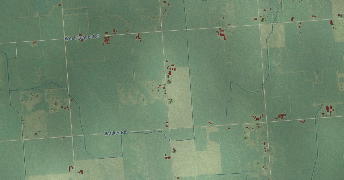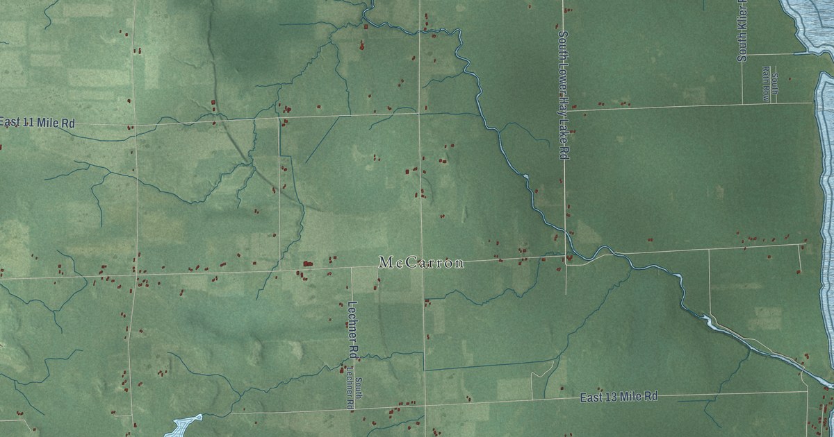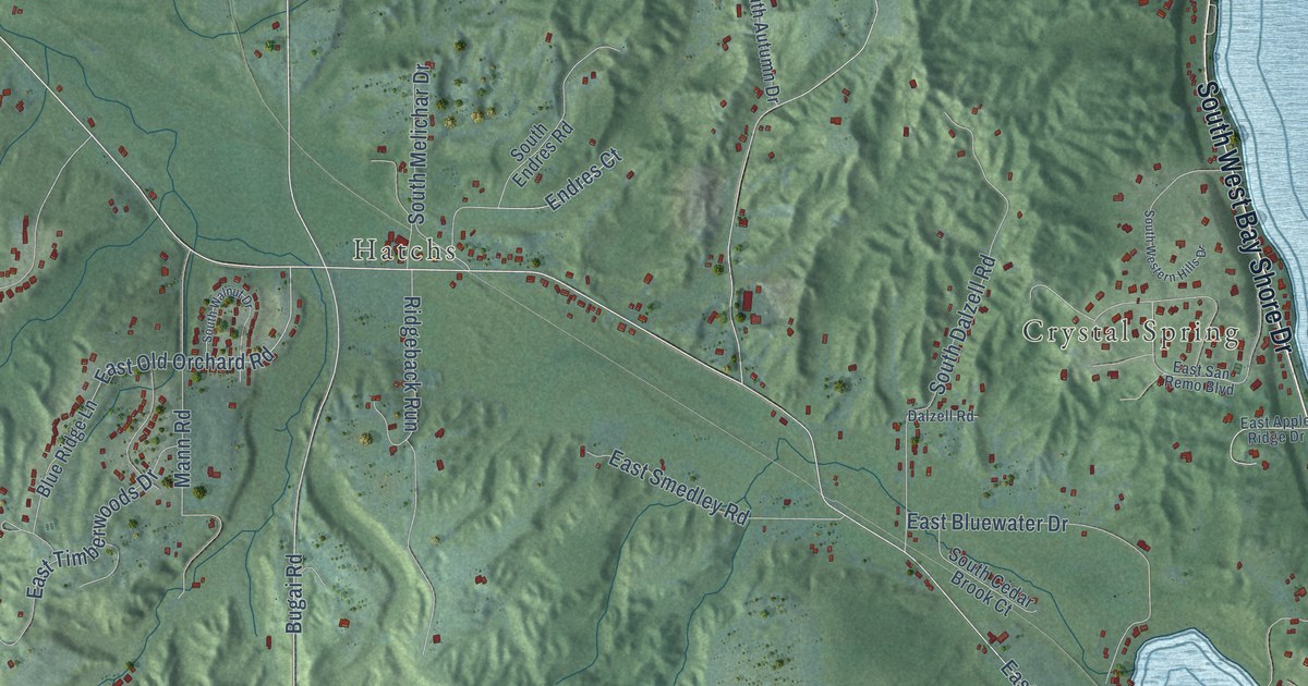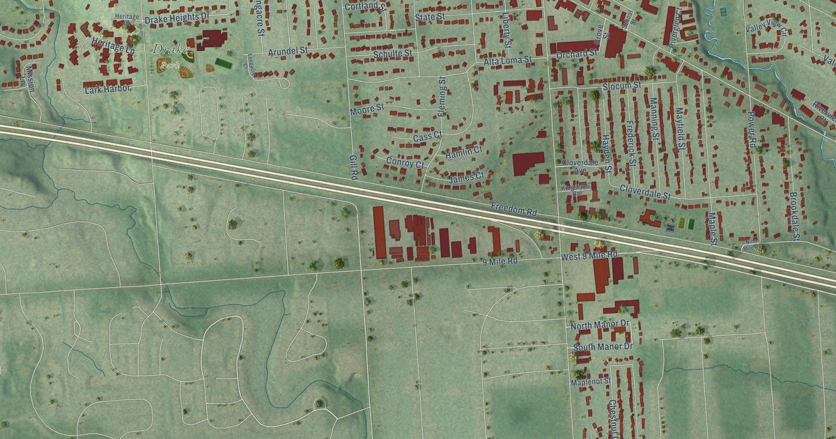
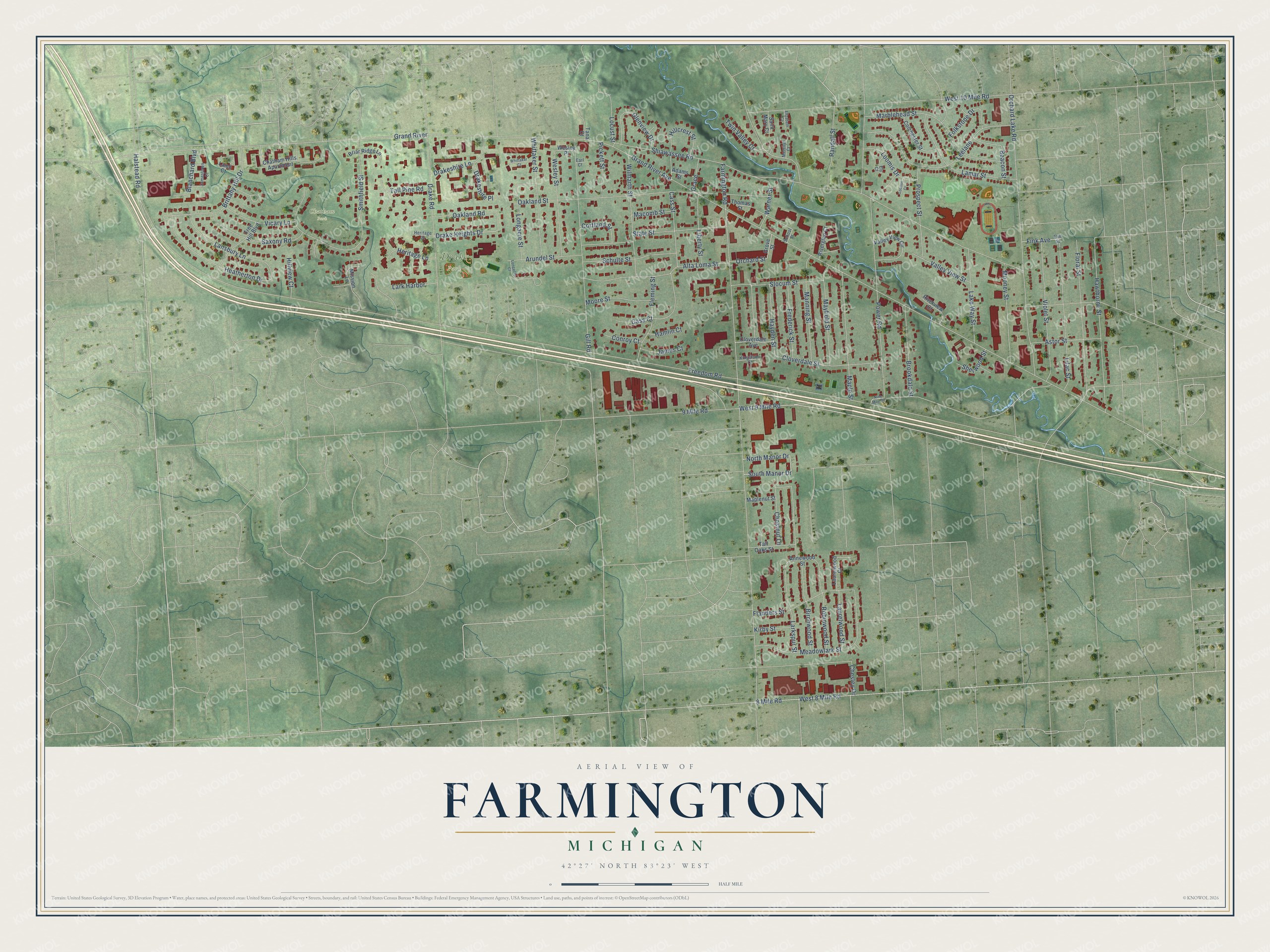
This beautifully detailed map of Farmington, Michigan was created in 2026 using aerial imagery combined with modern topographical, census, street and landmark data. It's a modern aerial view of Farmington in Oakland County, Michigan, that combines modern data with a vintage aesthetic. The roads feature printed names, and if you look closely you can find your exact house accurately shown in its correct location.
Explore an aerial view of Farmington, Michigan
On this map you'll find Chatham Park, Drake Park, Drake Heights Drive, South Manor Drive, Gill Road, North Manor Drive, Halstead Road, Grand River Avenue, Farmington Road, Shiawassee Road, Freedom Road, Power Road, and more. Each red shape is a building, so zoom in on the preview and look for yours.
Every town has a first chapter, and Farmington is no exception. The History of Oakland County puts it this way: "The first coopers in Farmington were Calvin Ray and Drown, who arrived in 1825, and worked together for a time in a small building not far from Amos Mead's."
Farmington is a city in Oakland County. The Census Bureau counted 11,597 people here in 2020.
Take a closer look at the Farmington map
Names on this map
These names are printed on this map.
Places: Chatham Park and Drake Park.
Streets and roads: Drake Heights Drive, South Manor Drive, Gill Road, North Manor Drive, Halstead Road, Grand River Avenue, Farmington Road, Shiawassee Road, Freedom Road, Power Road, Orchard Lake Road, West 10 Mile Road.
More street names, A to Z
8 Mile Road, 9 Mile Road, Adams Street, Alta Loma Street, Annewood Street, Arundel Street, Astor Street, Beacon Street, Birchwood Street, Blanchard Boulevard, Briar Ridge Lane, Brittany Hill Drive, Brookdale Street, Cass Court, Cass Street, Chatham Hills Apartment, Chesley Drive, Chestnut Lane, Cloverdale Avenue, Cloverdale Street, Colchester Street, Conroy Court, Cortland Street, Drake Road, Drakeshire Lane, Drakeshire Place, Earl Court, Elizabeth Court, Elm Street, Ely Court, Fink Avenue, Flanders Street, Fleming Street, Floral Street, Folkstone Drive, Frederick Street, Glenview Drive, Grace, Grand River, Grove Street, Hamlin Court, Hawthorne Street, Hayden Street, Heatherton Drive, Heritage Court, Heritage Lane, Hillcrest Street, Hillview Court, James Court, Jamestown Court, Kingslane Court, Kirby Street, Lake Way Street, Lamar Street, Lamb Court, Lansbury Lane, Lark Harbor, Larkspur Street, Laurelwood Court, Laurelwood Street, Leelane, Liberty Street, Lilac Street, Locust Street, Longacre Court, Longacre Street, Loomis Court, Loomis Drive, Macomb Street, Manning Street, Maplenut Street, Maple Street, Marblehead Street, Mayfield Street, Meadowlark Street, Merrilyn Court, Mission Lane, Mooney Street, Moore Street, Nine Mile Road, Oakland Road, Oakland Street, Orchard Street, Pickett Street, Prospect Street, Randall Street, Riverglen Court, Riverview Court, Robinwood Street, Saint Mary Court, Saxony Road, School Street, Schulte Street, Sherwood Street, Slocum Street, Smithfield Street, State Street, Tall Oaks Street, Tall Pine Road, Tana Court, Thomas Street, Tree Hill Boulevard, Twin Valley Court, Valley View Circle, Valley View Street, Vicary Lane, Violet Street, Warner Street, Wesley Place, Wesley Street, West 8 Mile Road, West 9 Mile Road, Whittaker Court, Whittaker Street, Wilmarth Street.
Created by KNOWOL in 2026. The buildings are small red shapes, the roads carry their printed names, and shaded relief shows the shape of the land. The title panel reads "AERIAL VIEW OF FARMINGTON, MICHIGAN" with 42°27' NORTH 83°23' WEST.
Hang it in the hallway, the office or the cabin, or give it to someone who left Farmington and still calls it home. Open the preview and look for a street you know. See sizes and frames for the Farmington map.