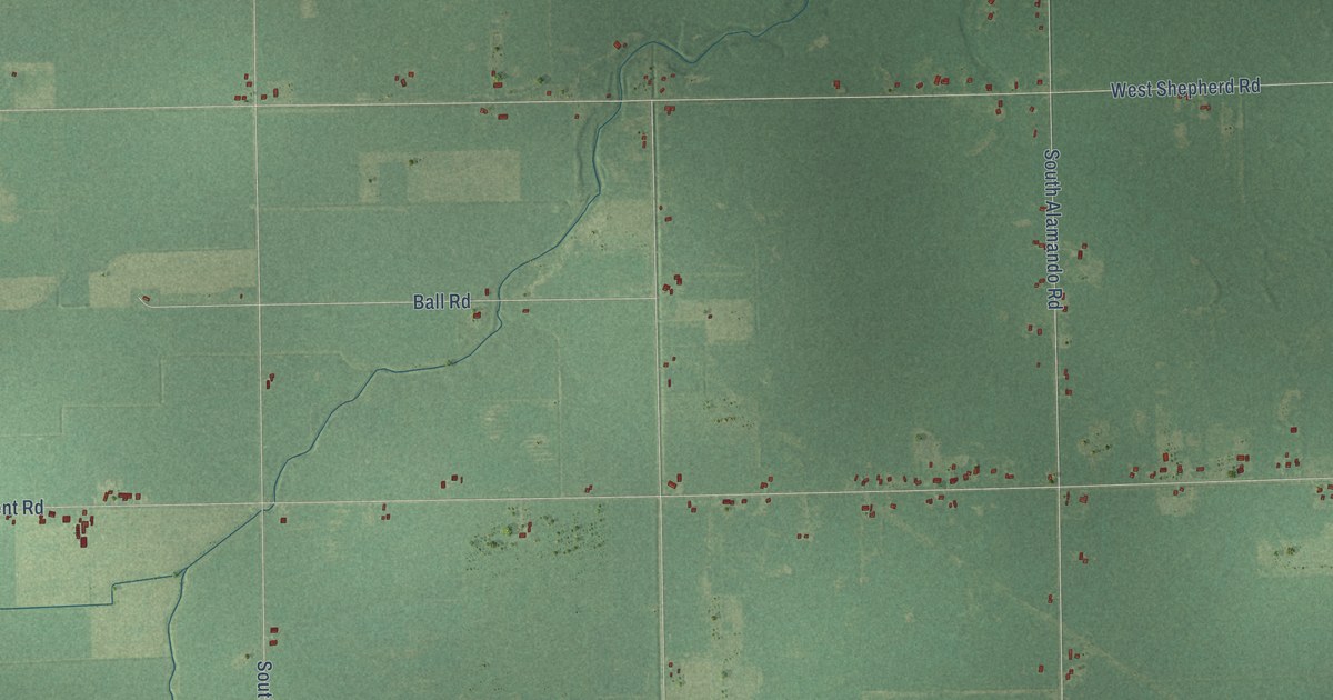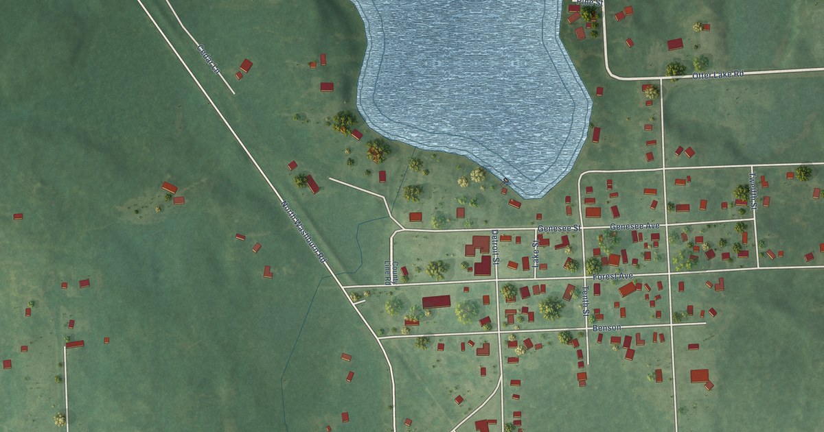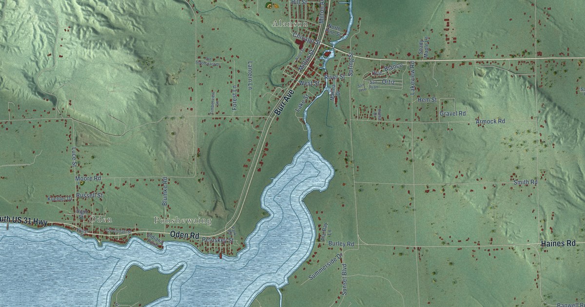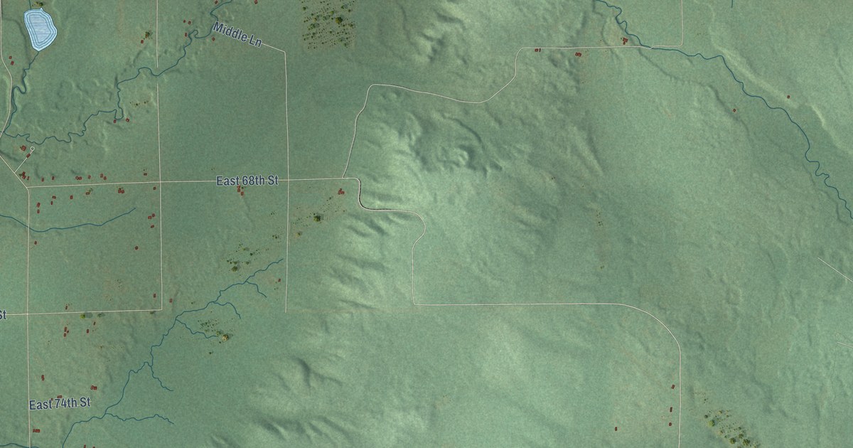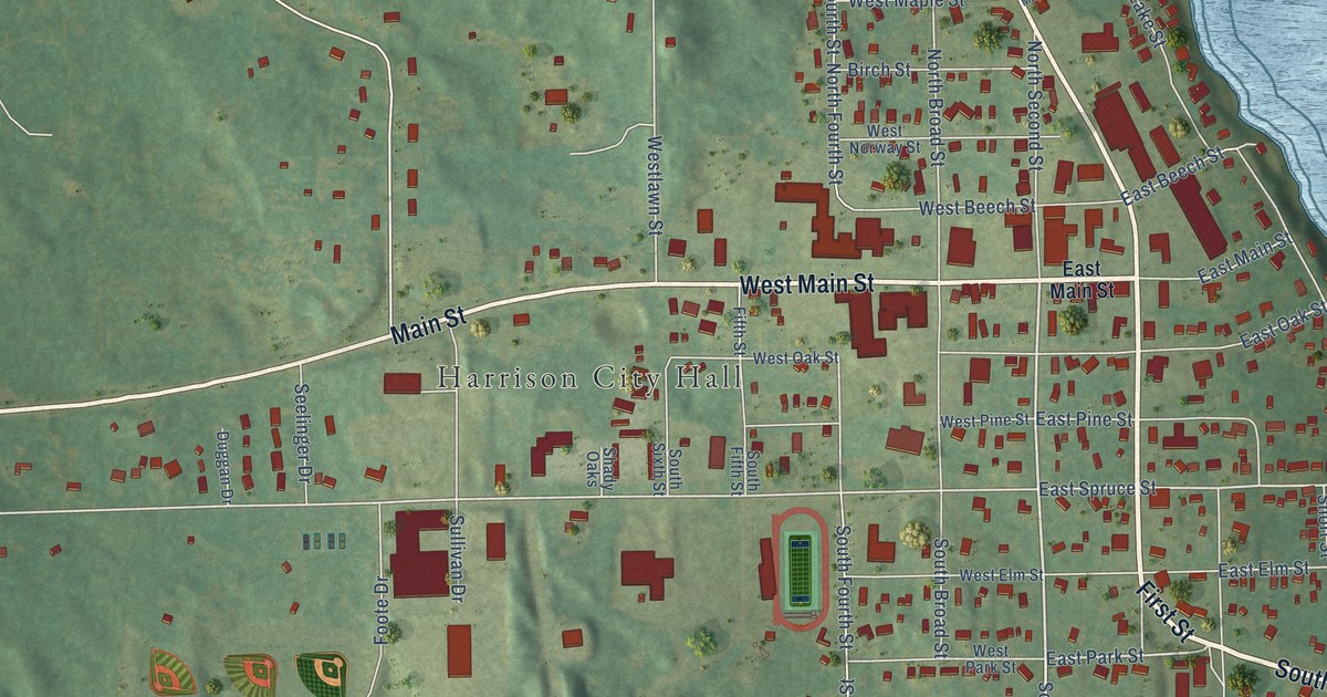
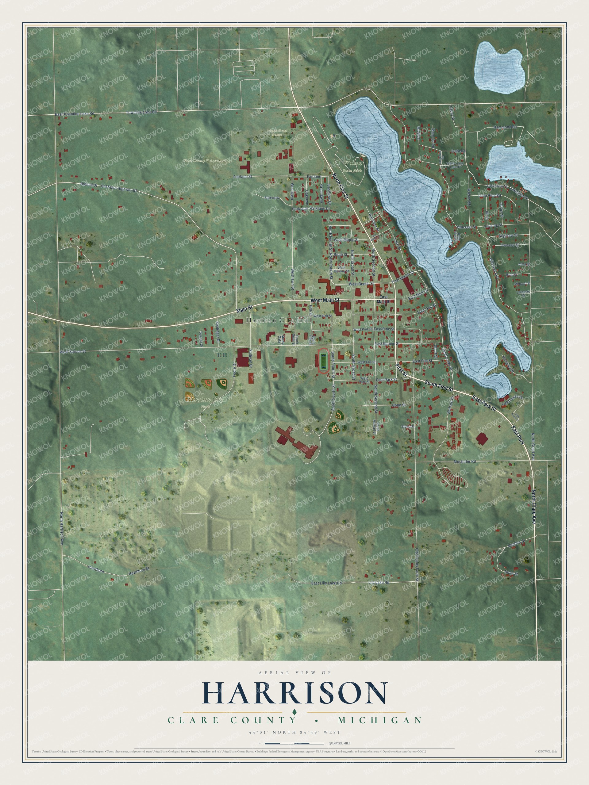
This beautifully detailed map of Harrison, Michigan was created in 2026 using aerial imagery combined with modern topographical, census, street and landmark data. It's a modern aerial view of Harrison in Clare County, Michigan, that combines modern data with a vintage aesthetic. The roads feature printed names, and if you look closely you can find your exact house accurately shown in its correct location.
Explore an aerial view of Harrison, Michigan
On this map you'll find Harrison City Hall, Clare County Fairground, Harrison City Park, Maple Grove Cemetery, Wilson State Park, South First Street, East Park Street, First Street, West Main Street, East Park, North First Street, Main Street, and more. Each red shape is a building, so zoom in on the preview and look for yours.
Here is a piece of Harrison history, in the words of the record. The History of Northern Michigan and Its People puts it this way: "Harrison, the county seat, is a neat city of between five and six hundred people, situated on the shore of Budd lake, and, as mentioned, a station on the branch of the Pere Marquette railroad running from Clare City to Leota. Its site was first settled in 1879."
Harrison is a city in Clare County. The Census Bureau counted 2,150 people here in 2020.
Take a closer look at the Harrison map
Names on this map
These names are printed on this map.
Places: Harrison City Hall, Clare County Fairground, Harrison City Park, Maple Grove Cemetery, Wilson State Park and East Park.
Streets and roads: South First Street, East Park Street, First Street, West Main Street, North First Street, Main Street, North Clare Avenue, South Second Street, South Lake Street, Byfield Drive, Old State Highway 61, East Spruce Street.
More street names, A to Z
Alma Street, Birch Street, Bond Street, Coleman Street, Dean Street, Douglas Drive, Duggan Drive, East Beech Street, East Elm Street, Eastlawn Drive, East Lilly Lake Road, East Main Street, East Maple Street, East Oak Street, East Pine Street, East Townline Lake Road, Fairlane, Fairlane Street, Fairview, Fifth Street, Foote Drive, Greenlawn, Green Street, Hammond Road, Harrison Street, Hawthorn, Hawthorn Street, Hillcrest Avenue, Hillcrest Street, Hughes Point, Isabella, Ithaca, Jill Street, Josephine Road, Lake Street, Lakeview Drive, Lakeview Street, Lansing Street, Laura Street, Lighthouse Drive, Light House Drive, Lily Lake Road, Little Long Lake Drive, Lone Pine Road, Mary-Jo Road, Matilda, Midland Street, Mostetler Road, North Broad Street, North Fourth Street, North Grant Avenue, North Harrison Avenue, North Second Street, Oaklawn, Old County Farm Street, Owosso Street, Parklane, Parklane Drive, Richard Drive, Saginaw Street, Seelinger Drive, Shady Oaks, Short Street, South Broad Street, South Fifth Street, South Fourth Street, South Sixth Street, Stone Street, Sullivan Drive, Townline Lake Road, Weldon Drive, West Beech Street, West Elm Street, Westlawn, Westlawn Street, West Maple Street, West Norway Street, West Oak Street, West Park Street, West Pine Street, West Spruce Street, Wilson Road.
Created by KNOWOL in 2026. The buildings are small red shapes, the roads carry their printed names, and shaded relief shows the shape of the land. The title panel reads "AERIAL VIEW OF HARRISON, CLARE COUNTY • MICHIGAN" with 44°01' NORTH 84°49' WEST.
It suits a den, a classroom or a front hall, and it makes a gift for anyone with Harrison roots. Open the preview and find the block you know. See sizes and frames for the Harrison, Clare County map.