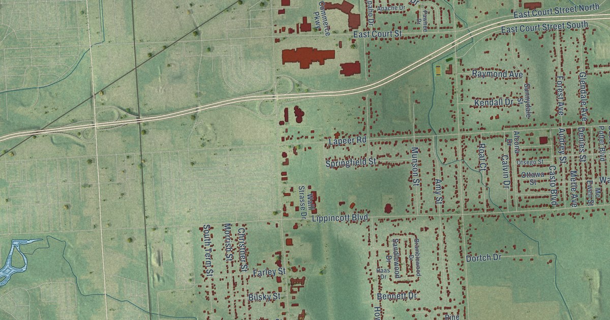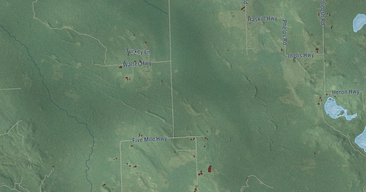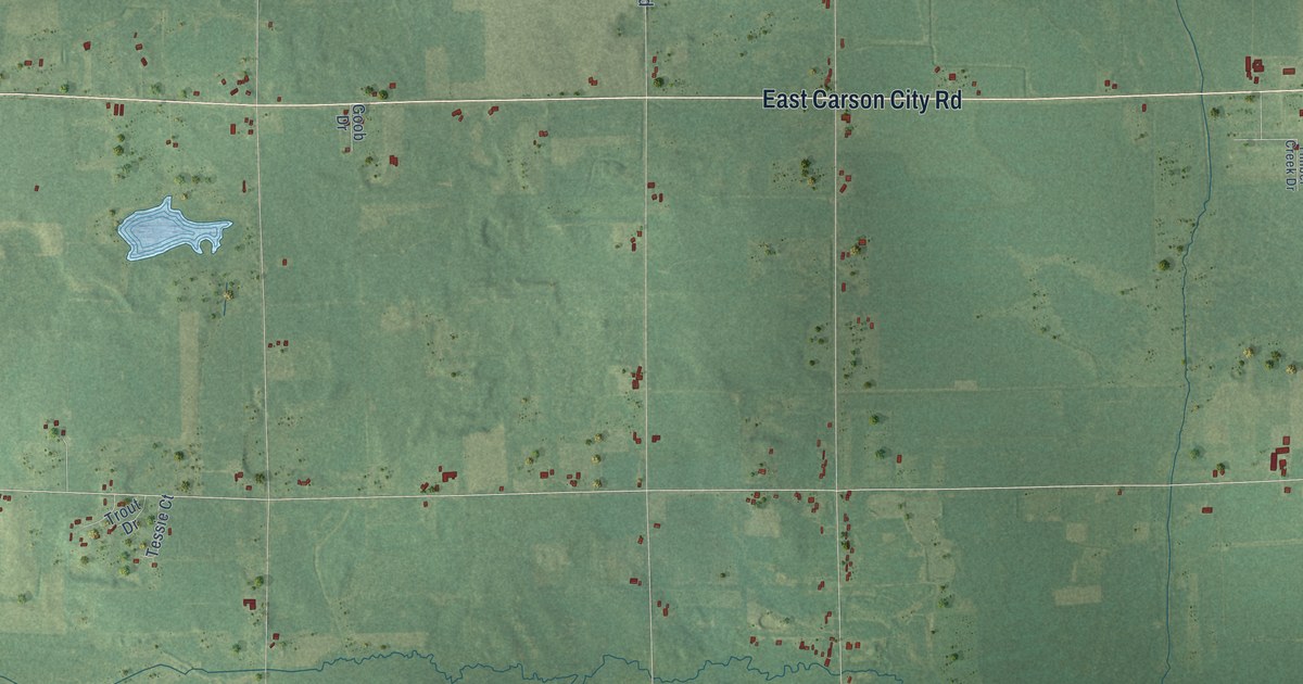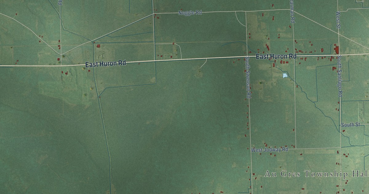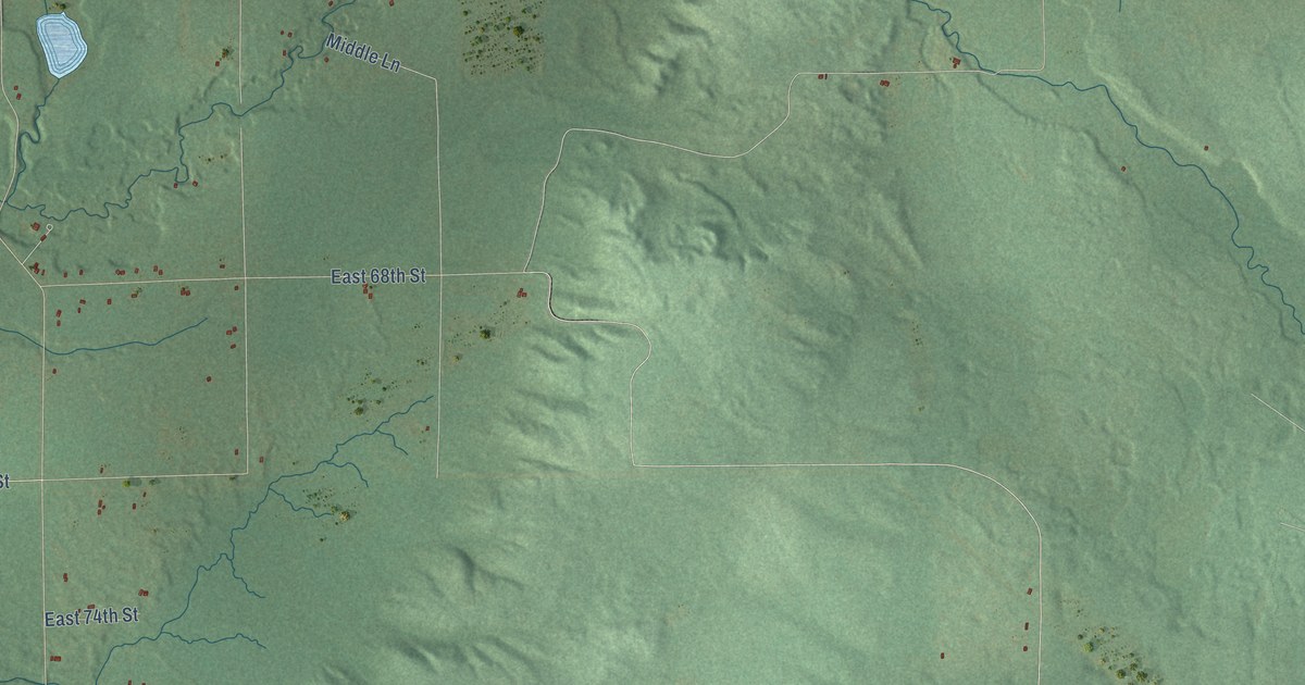
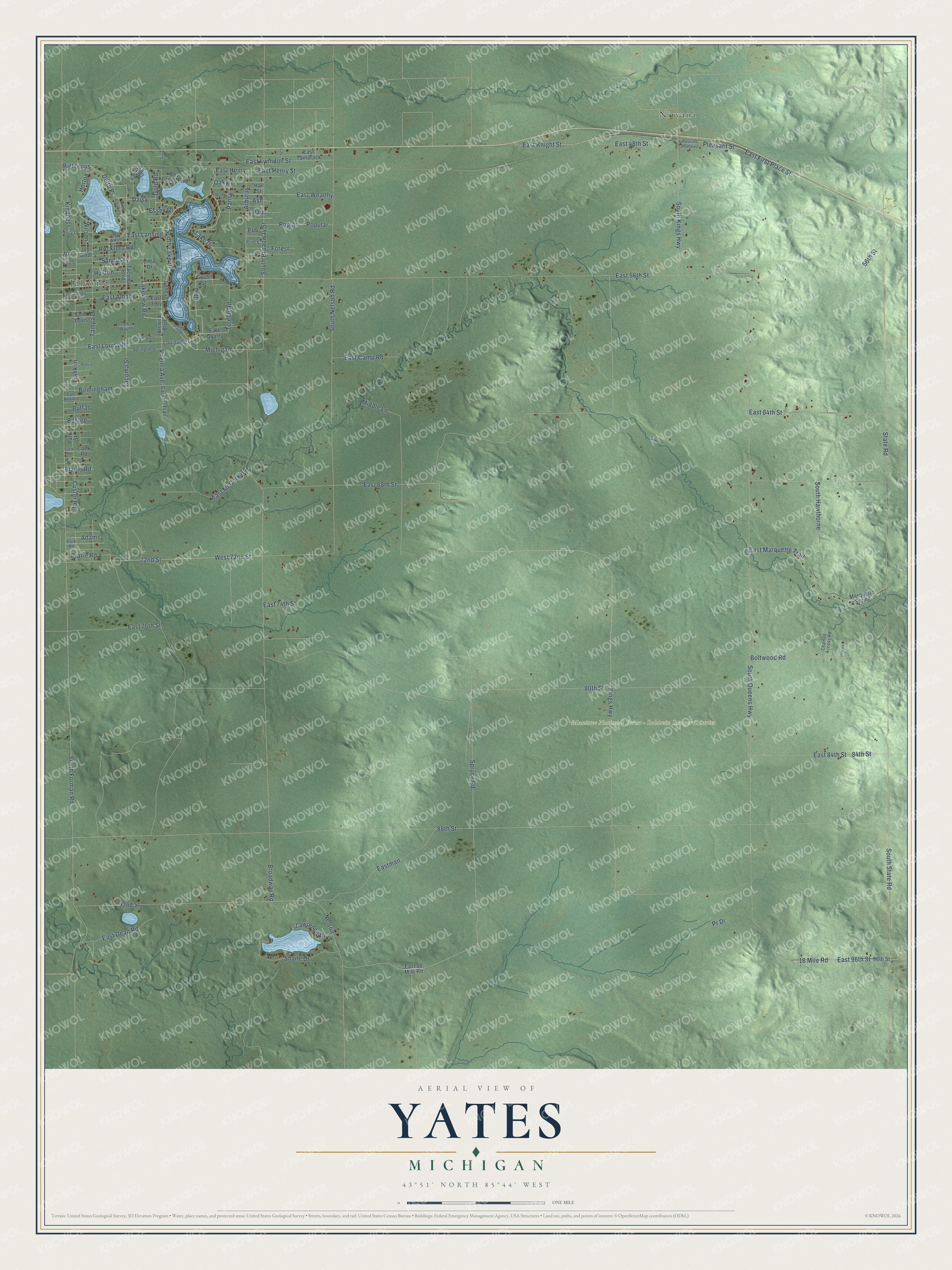
This beautifully detailed map of Yates, Michigan was created in 2026 using aerial imagery combined with modern topographical, census, street and landmark data. It's a modern aerial view of Yates in Lake County, Michigan, that combines modern data with a vintage aesthetic. The roads feature printed names, and if you look closely you can find your exact house accurately shown in its correct location.
Explore an aerial view of Yates, Michigan
On this map you'll find Manistee National Forest – Baldwin Ranger District, Idlewild, Nirvana, Lake Drive, South Lake Drive, Lakeview Road, Michigan, Tacoma Street, Franklin, Delta Place, Sandusky, Virginia Avenue, and more. Each red shape is a building, so zoom in on the preview and look for yours.
Yates has a story worth telling. The record at arcgis.com puts it this way: "Built in 1927, this fieldstone bungalow reflects the prominence of its first occupants, Herman and Lela Wilson, who were among Idlewild’s early promoters and developers."
The Census Bureau counted 755 people here in 2020.
Take a closer look at the Yates map
Names on this map
These names are printed on this map.
Places: Manistee National Forest - Baldwin Ranger District, Idlewild and Nirvana.
Streets and roads: Lake Drive, South Lake Drive, Lakeview Road, Michigan, Tacoma Street, Franklin, Delta Place, Sandusky, Virginia Avenue, South Forman Road, Daisy, 18 Mile Road.
More street names, A to Z
56th Street, 72nd Street, 80th Street, 84th Street, 88th Street, 92nd Street, 96th Street, Adams, Arbutus, Ash, Birmingham, Blaine Road, Boltwood Road, Boston, Broadway Road, Buffalo, Chained Access Road, Clark Road, Cook Road, Custer Road, Dixie, East 18 Mile Road, East 48th Street, East 56th Street, East 64th Street, East 68th Street, East 74th Street, East 76th Street, East 84th Street, East 96th Street, East Albany, East Atlantic, East Camp Road, East Dean Road, East Dubois, East First Place Street, East Henry, East Henry Street, East Knight Street, East Lansing, East Logan Boulevard, East Louisville, East Lynndon Street, Eastman, East Marquette Trail, East McCork Road, East Quarry, East Tamarack, East Troy, East Wealthy, East Wilson, Elm, Essex Drive, Fond Dulac, Forest, Ft Wayne, Garden Trail, Geneva, Glade Street, Gold Road, Hall Street, Horton, Huston, Idlewild Boulevard, Indianapolis, Joy, Joy Boulevard, Kindness, Kings Highway, Labelle Road, Lawrence Drive, Lilly, Lima Drive, Louisville, Marquette Spring, Middle Lane, Miracle, Nelson, Oakley, Ohio, Palm, Pansy, Park Road, Park Street, Peoria, Pleasant Southeast, Pleasant Street, Poplar, Popular, Prarie Road, Pr Drive, Prince, Privare Drive, Righteous, Rockford Road, Saint Louis, Shane Drive, South Broadway Street, South Hawthorne, South Kings Highway, South Nelson Road, South Plainfield, South Queens Highway, South State Road, Springfield, Spruce Road, State Road, Tacoma Boulevard, Tampa Drive, Toledo Road, Unity Drive, Wealthy, West 72nd Street, Wilson.
Created by KNOWOL in 2026. The buildings are small red shapes, the roads carry their printed names, and shaded relief shows the shape of the land. The title panel reads "AERIAL VIEW OF YATES, MICHIGAN" with 43°51' NORTH 85°44' WEST.
It looks right in a kitchen, an office or a den, and it's a gift for anyone who grew up in Yates or moved away. Open the preview and find your street. See sizes and frames for the Yates map.