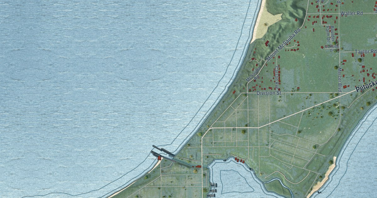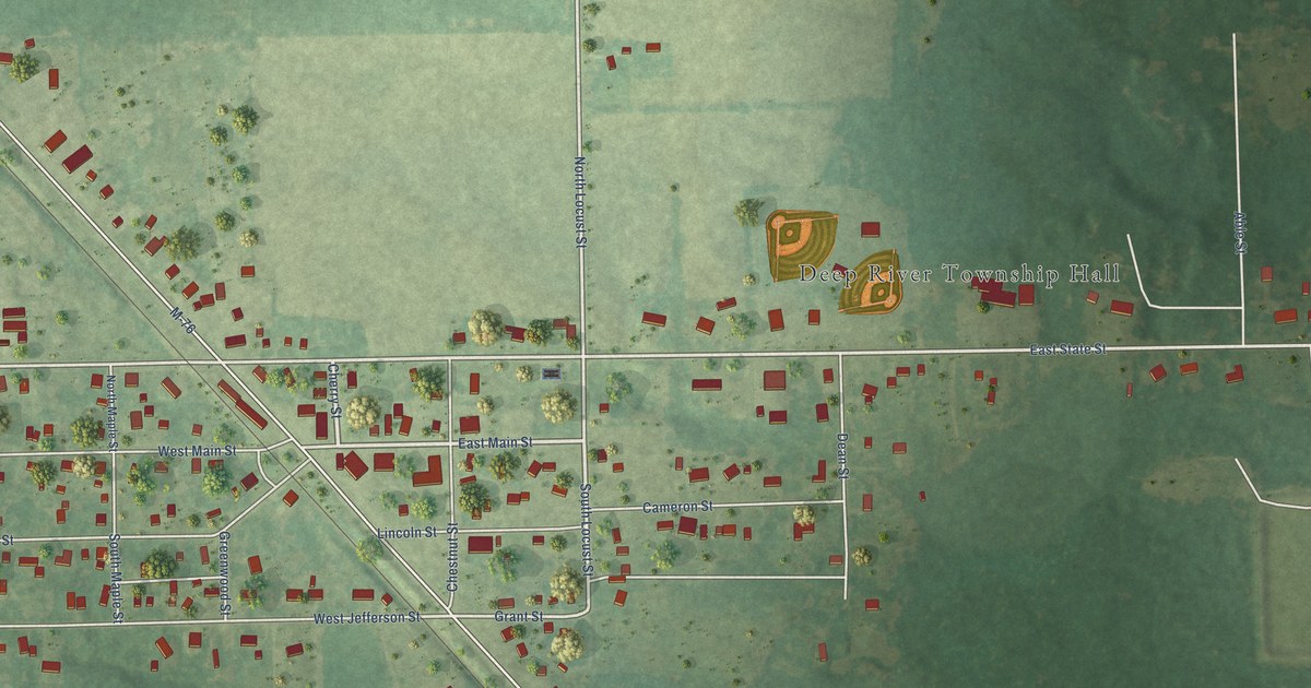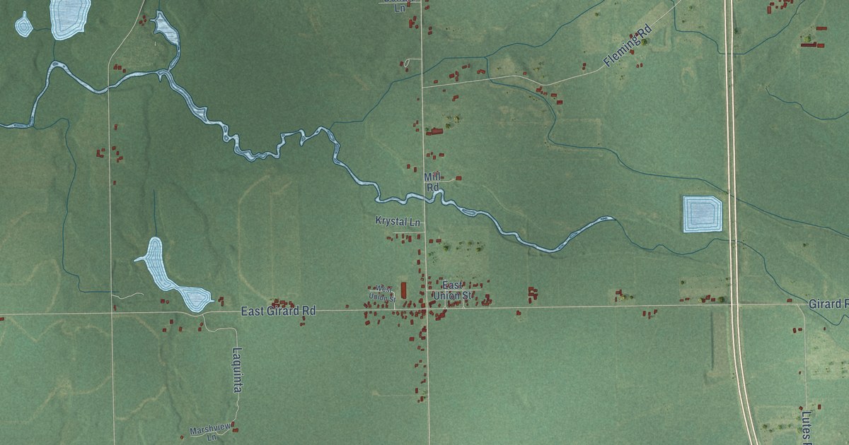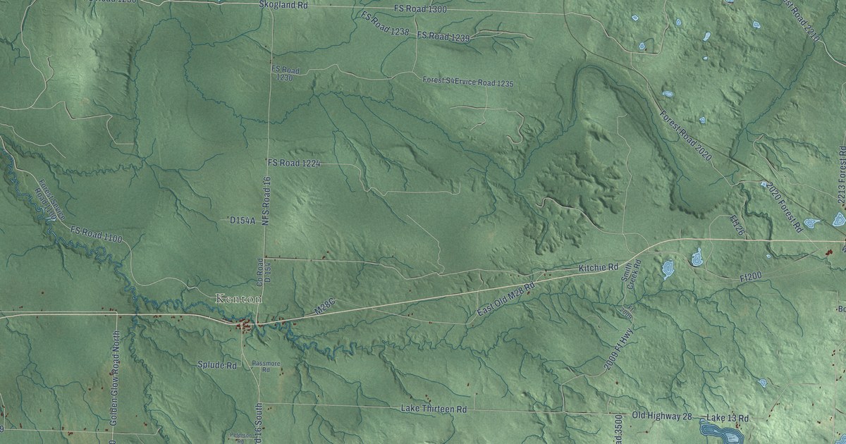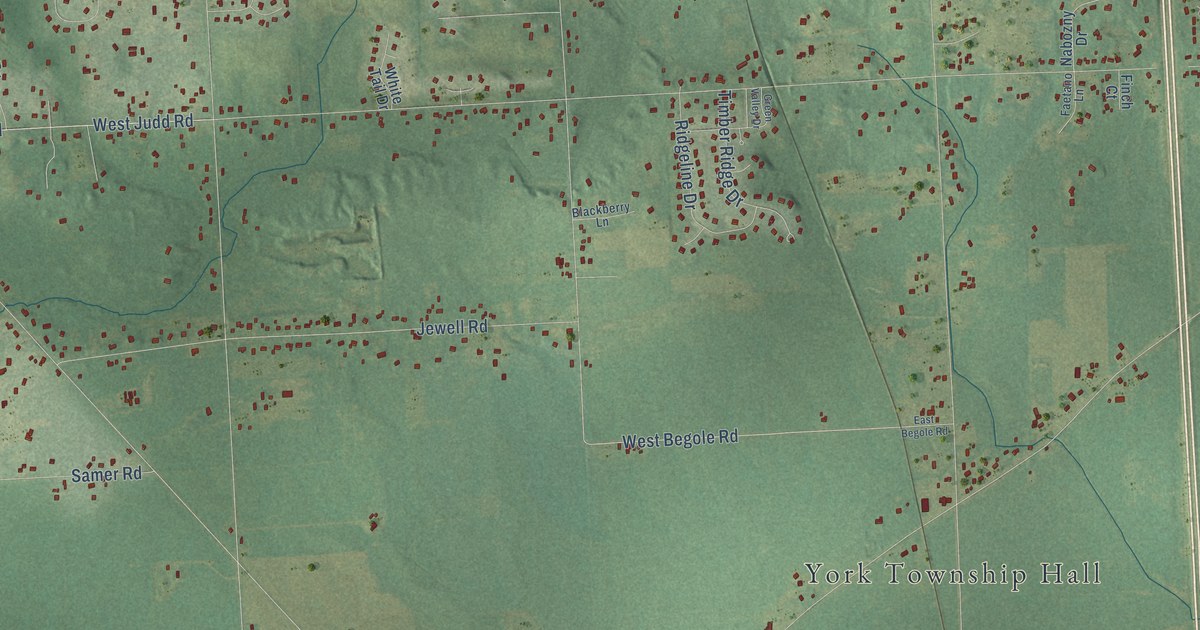
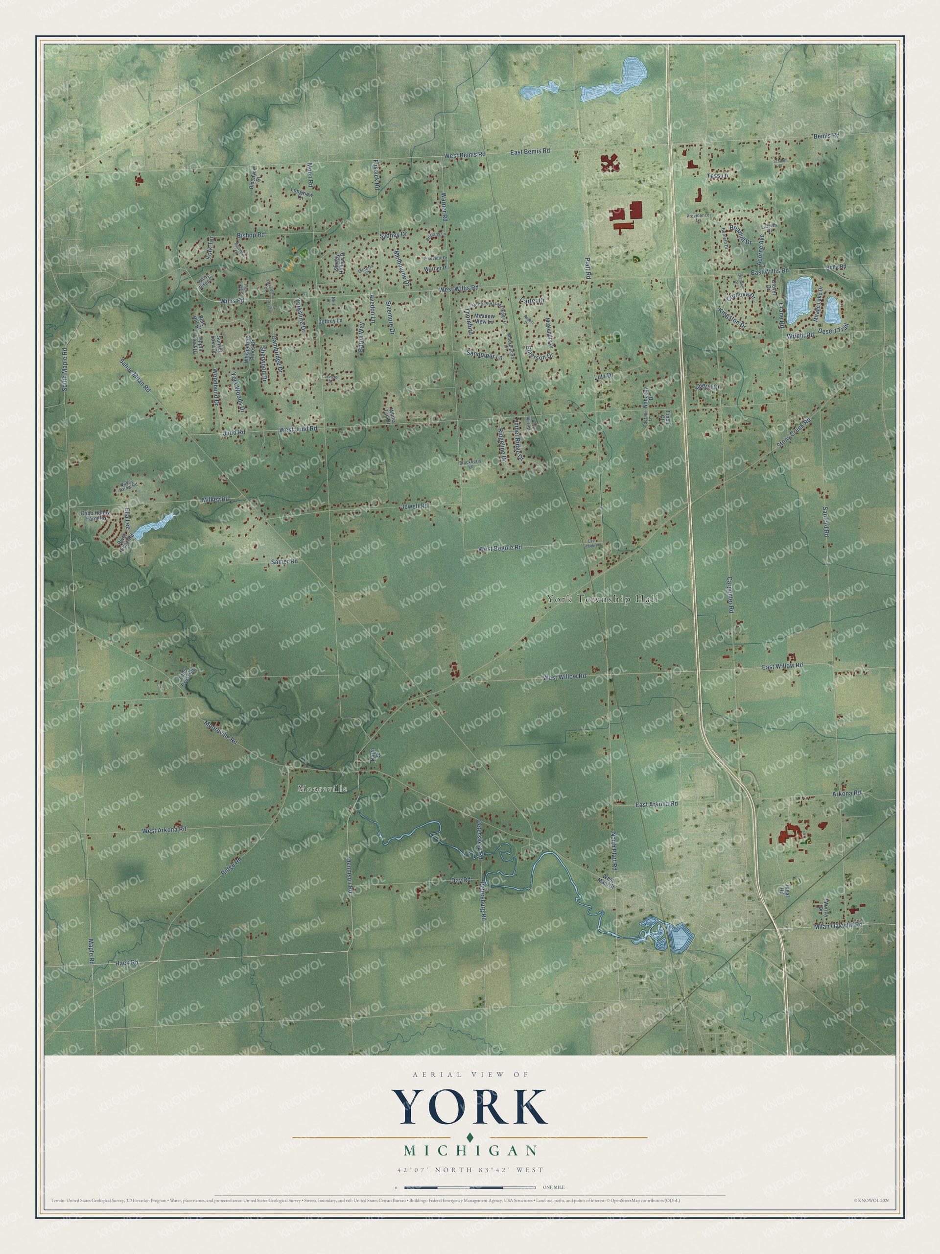
This beautifully detailed map of York, Michigan was created in 2026 using aerial imagery combined with modern topographical, census, street and landmark data. It's a modern aerial view of York in Washtenaw County, Michigan, that combines modern data with a vintage aesthetic. The roads feature printed names, and if you look closely you can find your exact house accurately shown in its correct location.
Explore an aerial view of York, Michigan
On this map you'll find York Township Hall, Mooreville, Hack Road, Dennison Road, Maple Road, Ridge Road, Platt Road, East Willow Road, West Willis Road, West Begole Road, Petersburg Road, Thornbird, and more. Each red shape is a building, so zoom in on the preview and look for yours.
Every town has a first chapter, and York is no exception. The record at arcgis.com puts it this way: "On May 22, 1831, the Presbyterian Church in Newark, New York, formally dismissed twelve of its members who were moving to Michigan and organized them into a new church."
The Census Bureau counted 9,108 people here in 2020.
Take a closer look at the York map
Names on this map
These names are printed on this map.
Places: York Township Hall and Mooreville.
Streets and roads: Hack Road, Dennison Road, Maple Road, Ridge Road, Platt Road, East Willow Road, West Willis Road, West Begole Road, Petersburg Road, Thornbird, Bemis Road, Saline Milan Road.
More street names, A to Z
Acorne Avenue, Apple Crest Drive, Arkona Road, Avedon Lane, Baron Way, Biscayne Court, Bishop Road, Blackberry Lane, Bolla Road, Briarhill Drive, Brittany Lane, Burneth Drive, Cambridge Drive, Carpenter Road, Carter Drive, Clover Drive, Cobb Hollow Farm Road, Cordova Drive, Covington Drive, Crane Road, Day Road, Desert Trail, East Arkona Road, East Begole Road, East Bemis Road, East Willis Road, Ella Lee, Emerson Drive, Faetano Lane, Finch Court, Fosdick Road, Green Valley Drive, Grenoble Drive, High Creek Court, Ideal Road, Jeffrey Lane, Jewell Road, Judd Road, Kingston Drive, Lazelda Drive, Longview Lane, Lutz Drive, McKendry Drive, Meadow View Lane, Melbourne Drive, Milan Oakville Road, Milkey Road, Mirage Lake Drive, Mockingbird Lane, Moon Road, Mooreville Road, Murray Drive, Nabozny Drive, Noll Lane, North Pheasant Ridge Lane, North Platt Road, North Street, Petersberg Road, Pine Hill Court, Pineview Drive, Providence Lane, Ridgeline Drive, River Edge Road, Rogers Drive, Roundhill Court, Samer Road, Sandpiper Lane, Sanford Road, Schmitt Court, Sherwood Drive, Sheryl Drive, Sizemore Drive, Sleepy Hollow Drive, South Maple Road, Stony Creek Road, Sunset Lake Drive, Sydney Drive, Tess Lane, Tiber Crossing, Timber Ridge Drive, Valley Farms Road, Victoria Court, Warner Place, Warner Road, West Arkona Road, West Bemis Road, West Judd Road, West Main Street, West Willow Road, Whispering Pines Drive, White Tail Drive, Willis Road, Windy Ridge Court, Woodbend Drive, Wright Road, York Crest Drive, Yorkridge Drive, Yorkshire Drive, York Terrace, York Woods Drive.
Created by KNOWOL in 2026. The buildings are small red shapes, the roads carry their printed names, and shaded relief shows the shape of the land. The title panel reads "AERIAL VIEW OF YORK, MICHIGAN" with 42°07' NORTH 83°42' WEST.
Hang it in the hallway, the office or the cabin, or give it to someone who left York and still calls it home. Open the preview and look for a street you know. See sizes and frames for the York map.