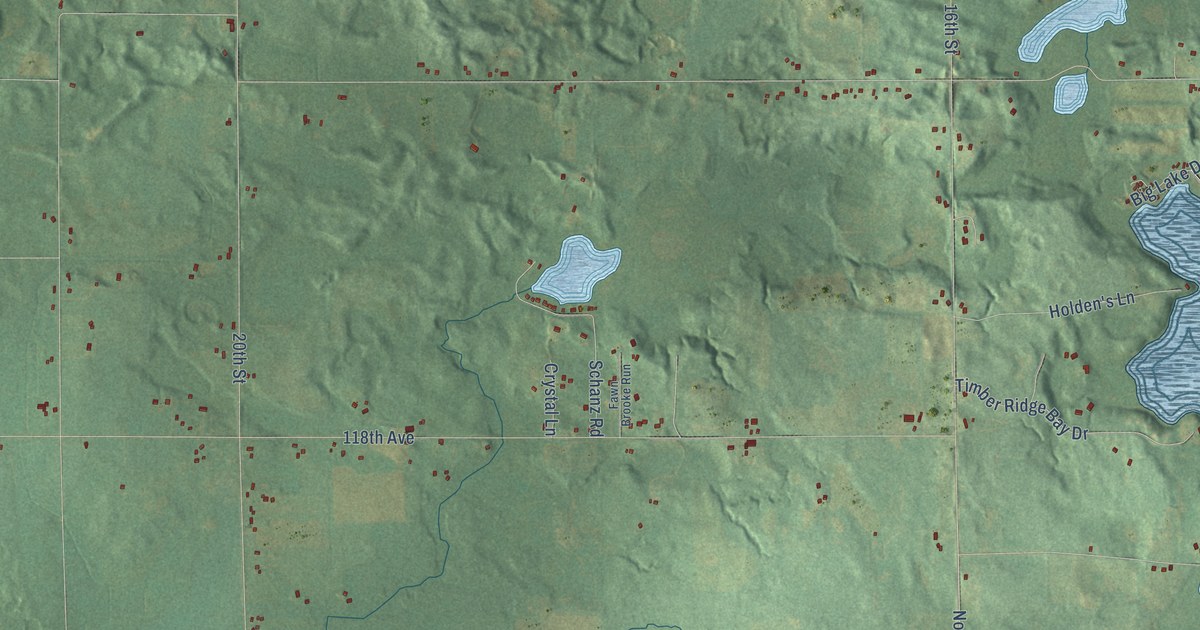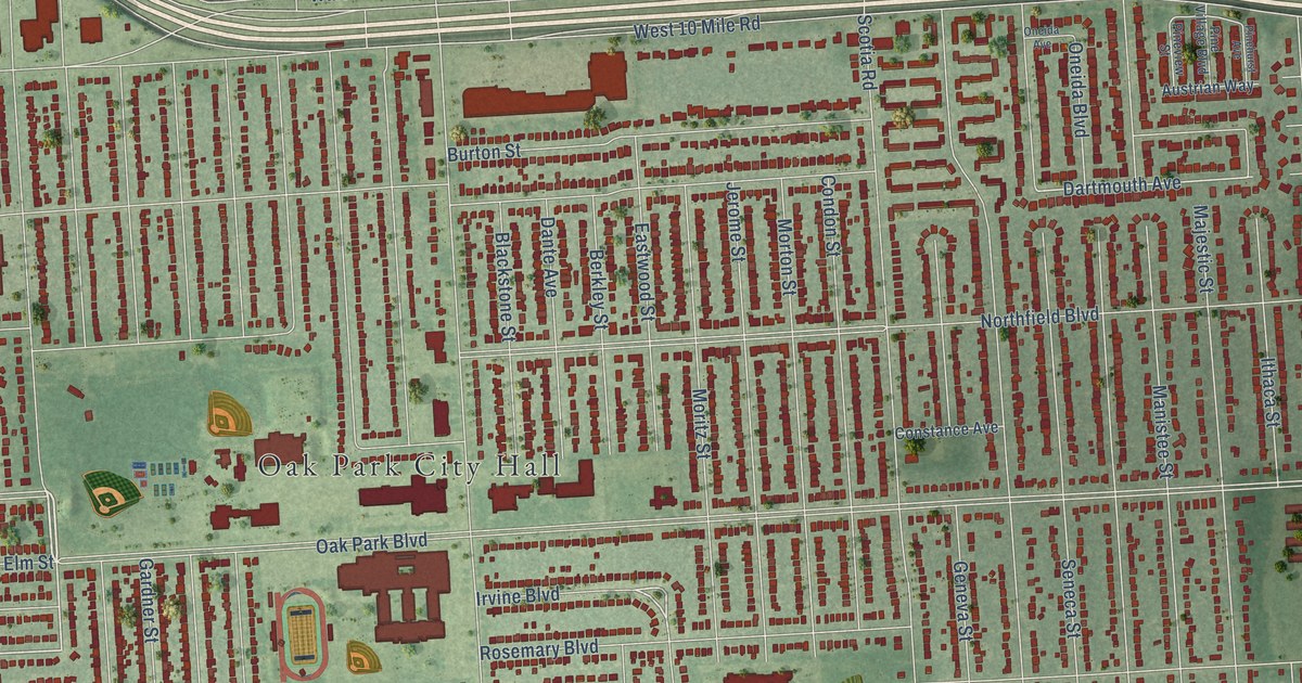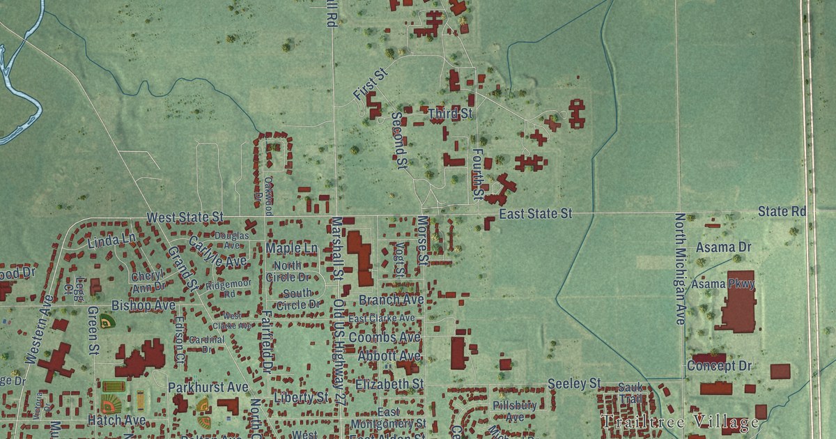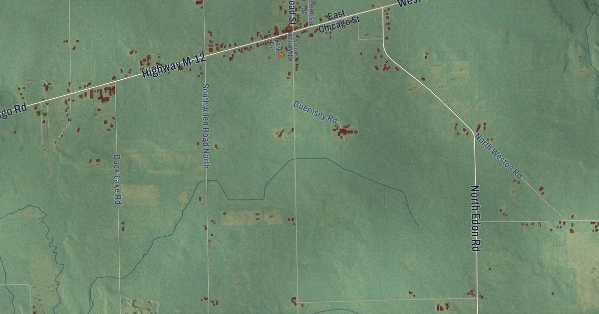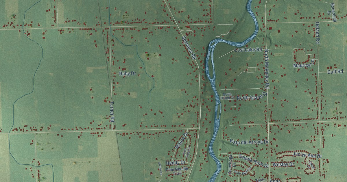
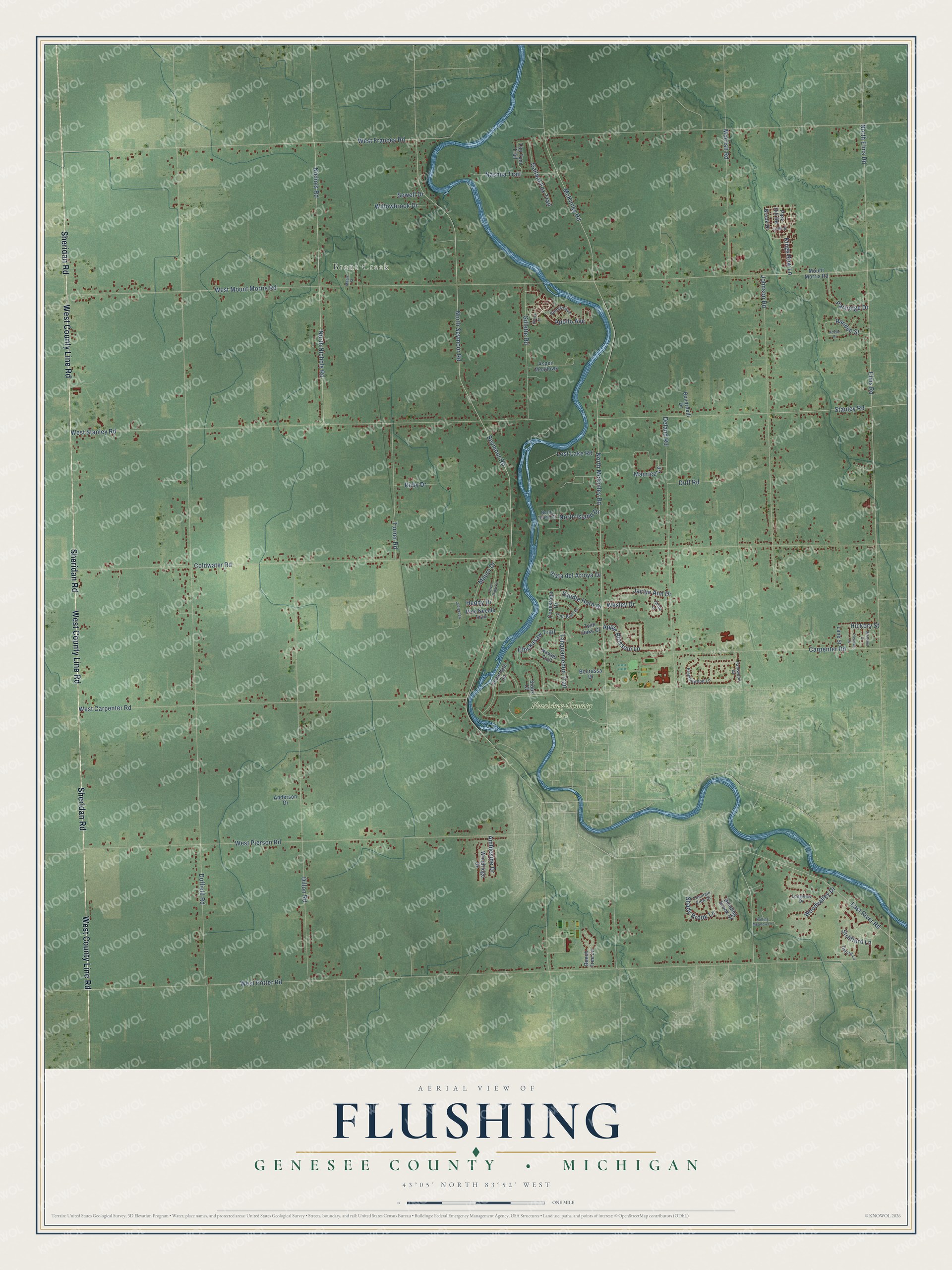
This beautifully detailed map of Flushing, Michigan was created in 2026 using aerial imagery combined with modern topographical, census, street and landmark data. It's a modern aerial view of Flushing in Genesee County, Michigan, that combines modern data with a vintage aesthetic. The roads feature printed names, and if you look closely you can find your exact house accurately shown in its correct location.
Explore an aerial view of Flushing, Michigan
On this map you'll find Brent Creek, Flushing County Park, Sheridan Road, West County Line Road, East River Road, West Frances Road, Morrish Road, North Seymour Road, Duffield Road, West Potter Road, West Mount Morris Road, Coldwater Road, and more. Each red shape is a building, so zoom in on the preview and look for yours.
Flushing has a story worth telling. The History of Genesee County puts it this way: "The township of Flushing lies on the western boundary of the county of Genesee, and includes township 8 north, in range 5 east, as denoted on the United States survey."
The Census Bureau counted 10,701 people here in 2020.
Take a closer look at the Flushing map
Names on this map
These names are printed on this map.
Places: Brent Creek and Flushing County Park.
Streets and roads: Sheridan Road, West County Line Road, East River Road, West Frances Road, Morrish Road, North Seymour Road, Duffield Road, West Potter Road, West Mount Morris Road, Coldwater Road, West Stanley Road, North McKinley Road.
More street names, A to Z
114th Street, Adelle Street, Ambleside Drive, Anderson Drive, Apollo Avenue, Apple Blossom Lane, Aspen Meadows, Beech Tree Lane, Bending Brook Drive, Blossom Drive, Bonardelli Drive, Borman Avenue, Bourassa Drive, Brook Drive, Carpenter Road, Cedardale Lane, Chickasaw Trail, Conestoga Drive, Deland Road, Dillon Road, Duff Road, Elms Road, Evergreen, Fountain View Drive, Gallant Fox Trail, Gillette Road, Glenn Street, Heddy Drive, Hickory Street, Jaclyn Ann Drive, Jaime Lane, Johnson Road, Kings Row Lane, Lane Street, Longview Drive, Lost Lake Road, Maple Street, Maura Drive, Maurice Lane, McKinley Road, Mount Morris Road, Nashua Trail, Navajo Trail, Nichols Road, North Elms Road, North Island Court, North Island Drive, North Nichols Road, Oxford Lane, Park Hill Road, Parkwood Drive, Partridge Drive, Pine Bluff Drive, Pine Needle Trail, Pleasant Drive, Prestonwood Lane, Randee Street, River Ridge Drive, Rolling Meadow Lane, Ruby Drive, Saddle Horn Drive, Sewell Drive, Seymour Road, Shady Brook Lane, Sioux Court, Stanley Road, Stratford Lane, Tahquamenon Trail, Tim Tam Trail, Turner Road, Twin Oaks Court, Vista del Arroya Drive, Wesley Drive, West Carpenter Road, West Pierson Road, Willowbrook Drive, Woodridge Drive, Woodvalley Drive.
Created by KNOWOL in 2026. The buildings are small red shapes, the roads carry their printed names, and shaded relief shows the shape of the land. The title panel reads "AERIAL VIEW OF FLUSHING, GENESEE COUNTY • MICHIGAN" with 43°05' NORTH 83°52' WEST.
It looks right in a kitchen, an office or a den, and it's a gift for anyone who grew up in Flushing or moved away. Open the preview and find your street. See sizes and frames for the Flushing, Genesee County map.