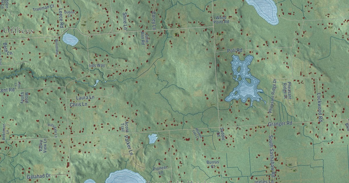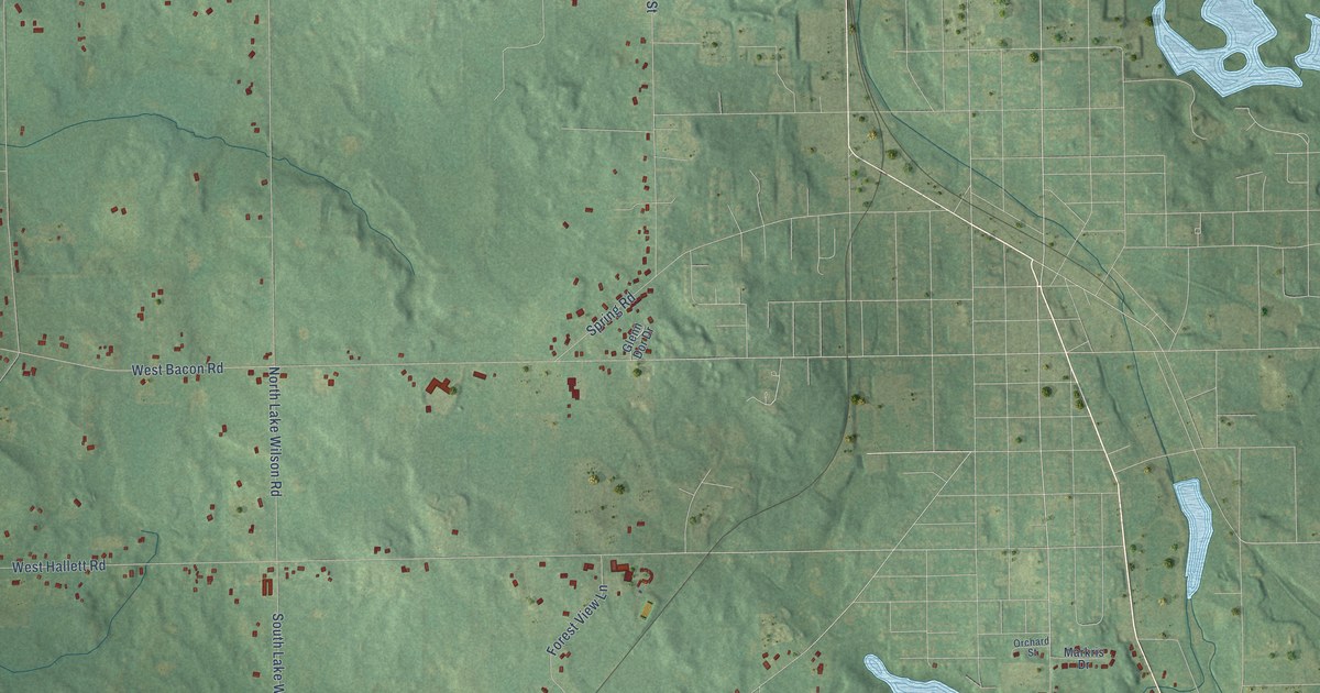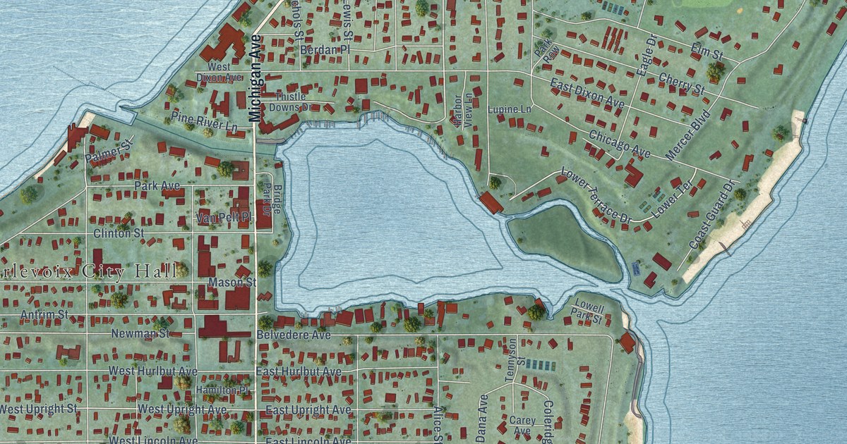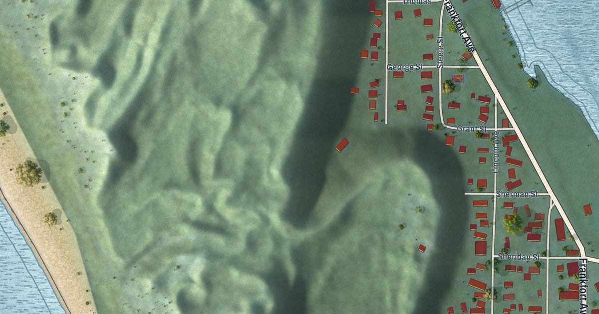
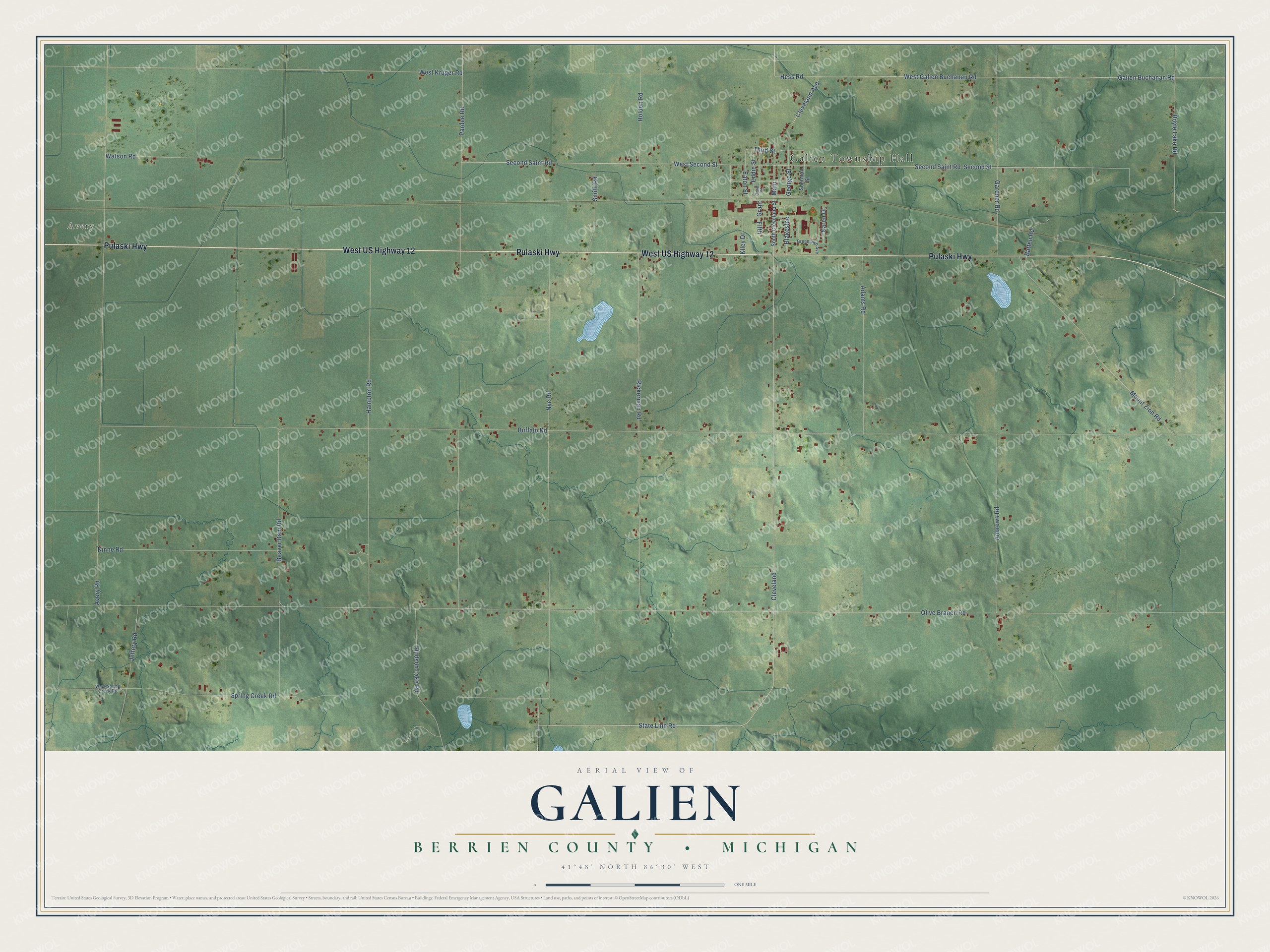
This beautifully detailed map of Galien, Michigan was created in 2026 using aerial imagery combined with modern topographical, census, street and landmark data. It's a modern aerial view of Galien in Berrien County, Michigan, that combines modern data with a vintage aesthetic. The roads feature printed names, and if you look closely you can find your exact house accurately shown in its correct location.
Explore an aerial view of Galien, Michigan
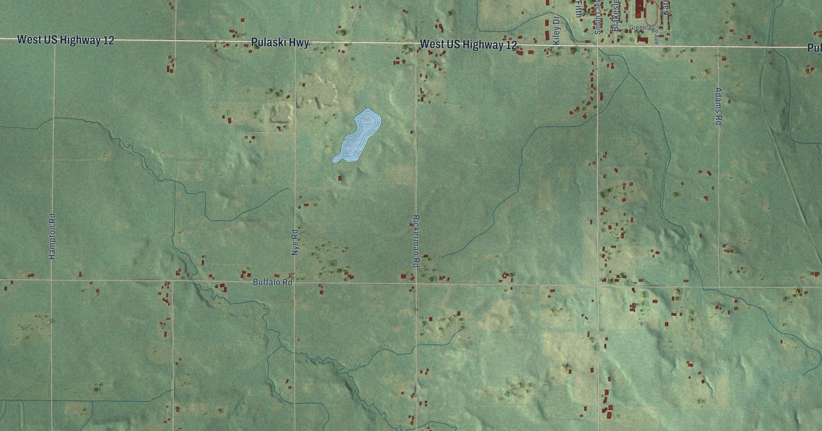
On this map you'll find Galien Township Hall, Avery, West US Highway 12, Pulaski Highway, Cleveland, Cleveland Avenue, State Line Road, Main, West Second Street, Second Saint Road, Galien Buchanan Road, West Galien Buchanan Road, and more. Each red shape is a building, so zoom in on the preview and look for yours.
Galien has a story worth telling. The History of Berrien and Van Buren Counties puts it this way: "In 1852, Mr. Huston and a brother of Mrs. Huston owned and ran the first grain separator ever used in Galien township. Also owned the first reaper and put up the first windmill."
The Census Bureau counted 1,412 people here in 2020.
Take a closer look at the Galien map
Names on this map
These names are printed on this map.
Places: Galien Township Hall and Avery.
Streets and roads: West US Highway 12, Pulaski Highway, Cleveland, Cleveland Avenue, State Line Road, Main, West Second Street, Second Saint Road, Galien Buchanan Road, West Galien Buchanan Road, Eddie Street, Hess Road.
More street names, A to Z
Adams Road, Andrews Road, Avery Road, Batten Road, Beaver Dam Road, Blakeslee, Boyle Lake Road, Buffalo Road, Eaton Street, Fifth, Gardner Road, George Street, Grant, Grant Street, Greenlawn Avenue, Hampton Road, Holden Road, Hudson Lake Road, Jeffery Road, Karen Drive, Kiley Drive, Kinne Road, Mount Zion Road, Nye Road, Olive Branch Road, Pardee Road, Rickerman Road, Second Street, Sherman Street, Smith Road, South Cleveland Street, Spring Creek Road, Third Street, Watson Road, West Kruger Road, West Spring Creek Road.
Created by KNOWOL in 2026. The buildings are small red shapes, the roads carry their printed names, and shaded relief shows the shape of the land. The title panel reads "AERIAL VIEW OF GALIEN, BERRIEN COUNTY • MICHIGAN" with 41°48' NORTH 86°30' WEST.
It looks right in a kitchen, an office or a den, and it's a gift for anyone who grew up in Galien or moved away. Open the preview and find your street. See sizes and frames for the Galien, Berrien County map.