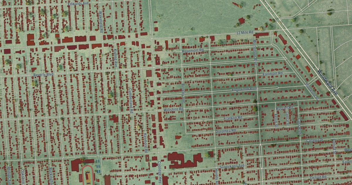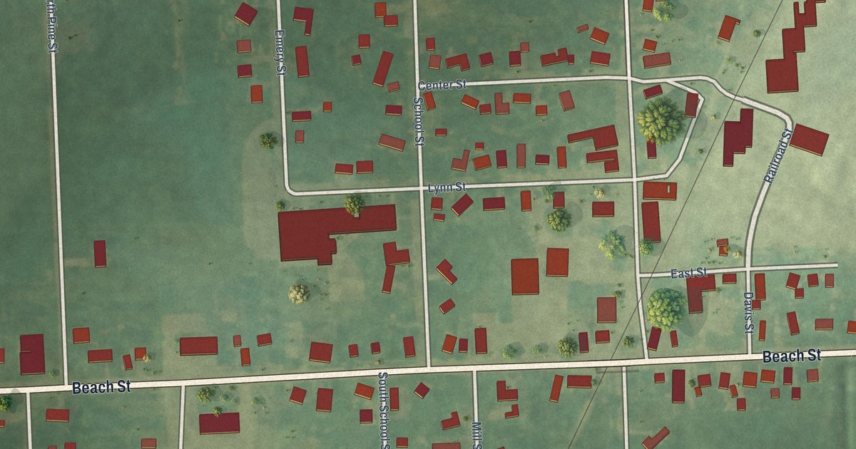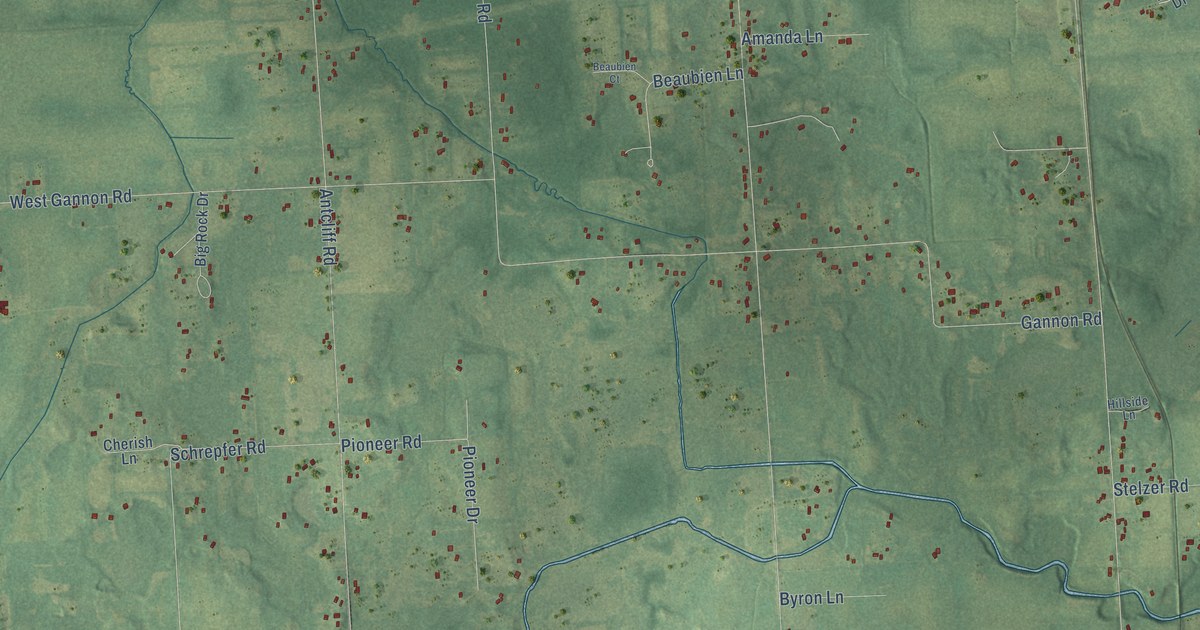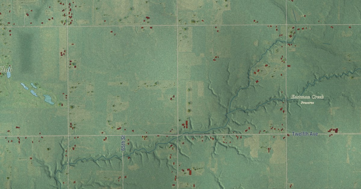
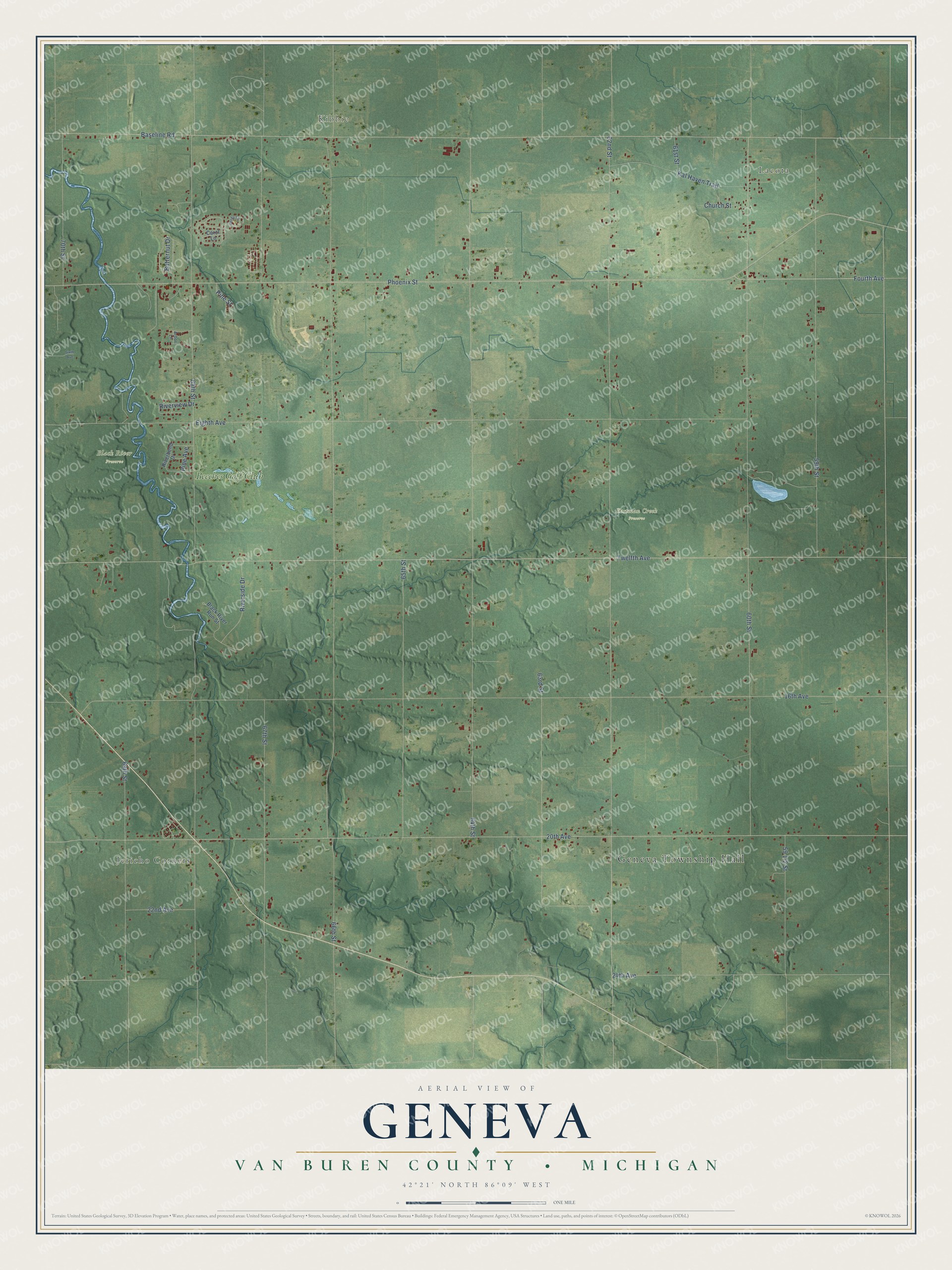
This beautifully detailed map of Geneva, Michigan was created in 2026 using aerial imagery combined with modern topographical, census, street and landmark data. It's a modern aerial view of Geneva in Van Buren County, Michigan, that combines modern data with a vintage aesthetic. The roads feature printed names, and if you look closely you can find your exact house accurately shown in its correct location.
Explore an aerial view of Geneva, Michigan
On this map you'll find Geneva Township Hall, Lacota, Kibbie, Jericho Corners, Black River Preserve, Eastman Creek Preserve, Beeches Golf Club, Phoenix Street, 62nd Street, 20th Avenue, Baseline Road, Twelfth Avenue, and more. Each red shape is a building, so zoom in on the preview and look for yours.
Here is a piece of Geneva history, in the words of the record. The History of Berrien and Van Buren Counties puts it this way: "In the fall of 1876 a Baptist Society was organized at the Geneva Centre school-house, with 9 members, by the Rev. George S. Martin. They now number 12 members, and still hold their services at the school-house."
The Census Bureau counted 3,416 people here in 2020.
Take a closer look at the Geneva map
Names on this map
These names are printed on this map.
Places: Geneva Township Hall, Lacota, Kibbie, Jericho Corners, Black River Preserve, Eastman Creek Preserve and Beeches Golf Club.
Streets and roads: Phoenix Street, 62nd Street, 20th Avenue, Baseline Road, Twelfth Avenue, 16th Avenue, 68th Street, 64th Street, 60th Street, Eighth Avenue, 67th Street, 59th Street.
More street names, A to Z
22nd Avenue, 24th Avenue, 61st Street, 63rd Street, 65th Street, 66th Street, 69th Street, 70th Street, Arbor Lane, Becky Lane, Black River Run Street, Butternut Drive, Carol Lane, Church Street, Fourth Avenue, Kal Haven Trail, Pine Avenue, Pine Street, Riverbend Drive, Riverside Drive, Riverview Drive, Sixth Avenue.
Created by KNOWOL in 2026. The buildings are small red shapes, the roads carry their printed names, and shaded relief shows the shape of the land. The title panel reads "AERIAL VIEW OF GENEVA, VAN BUREN COUNTY • MICHIGAN" with 42°21' NORTH 86°09' WEST.
It suits a den, a classroom or a front hall, and it makes a gift for anyone with Geneva roots. Open the preview and find the block you know. See sizes and frames for the Geneva, Van Buren County map.