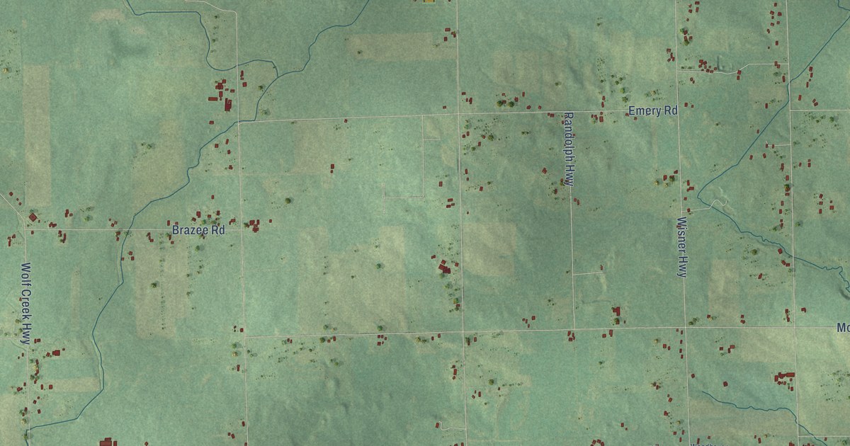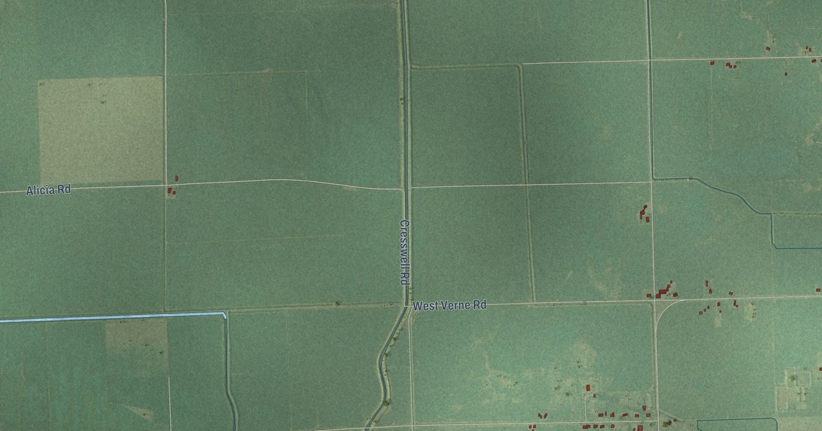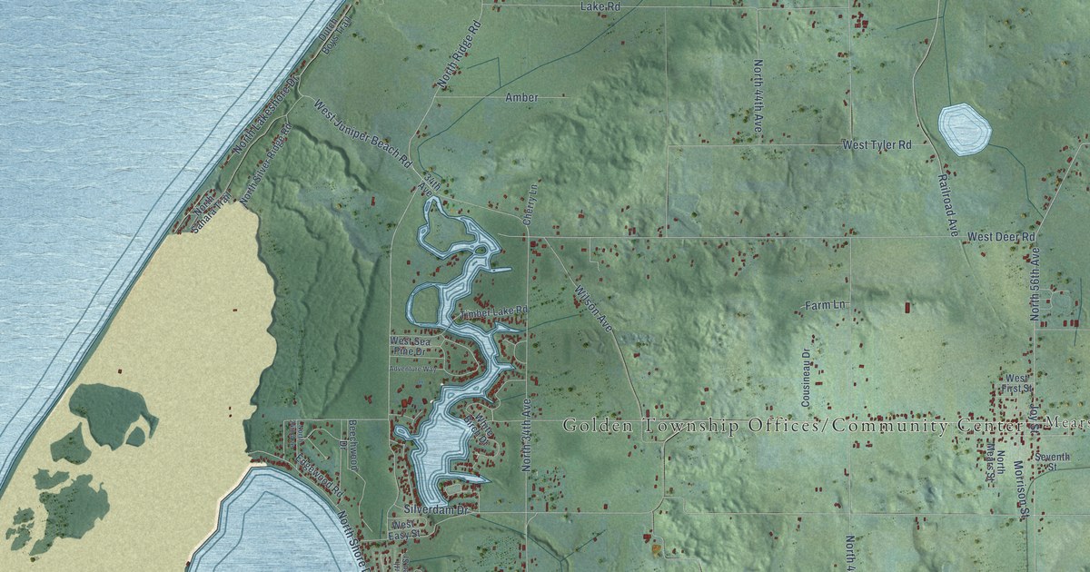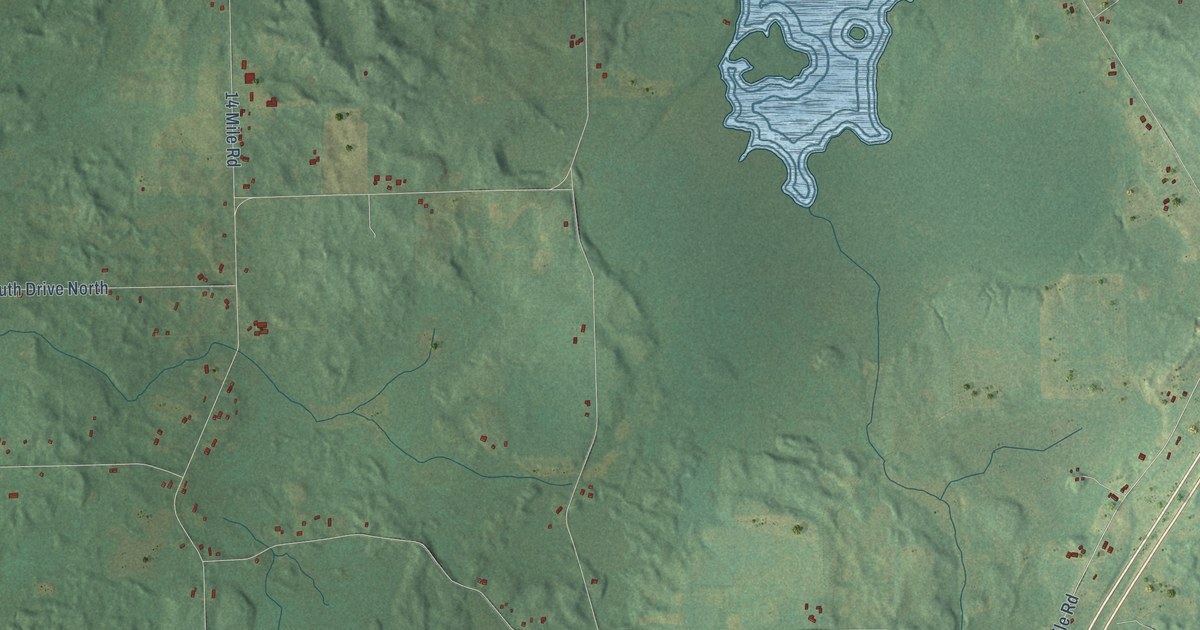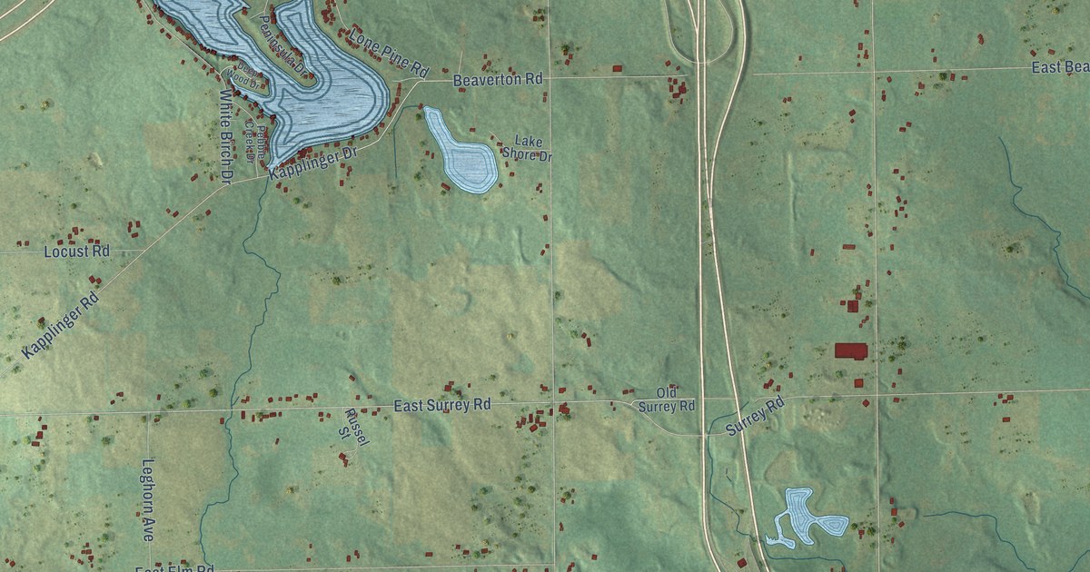
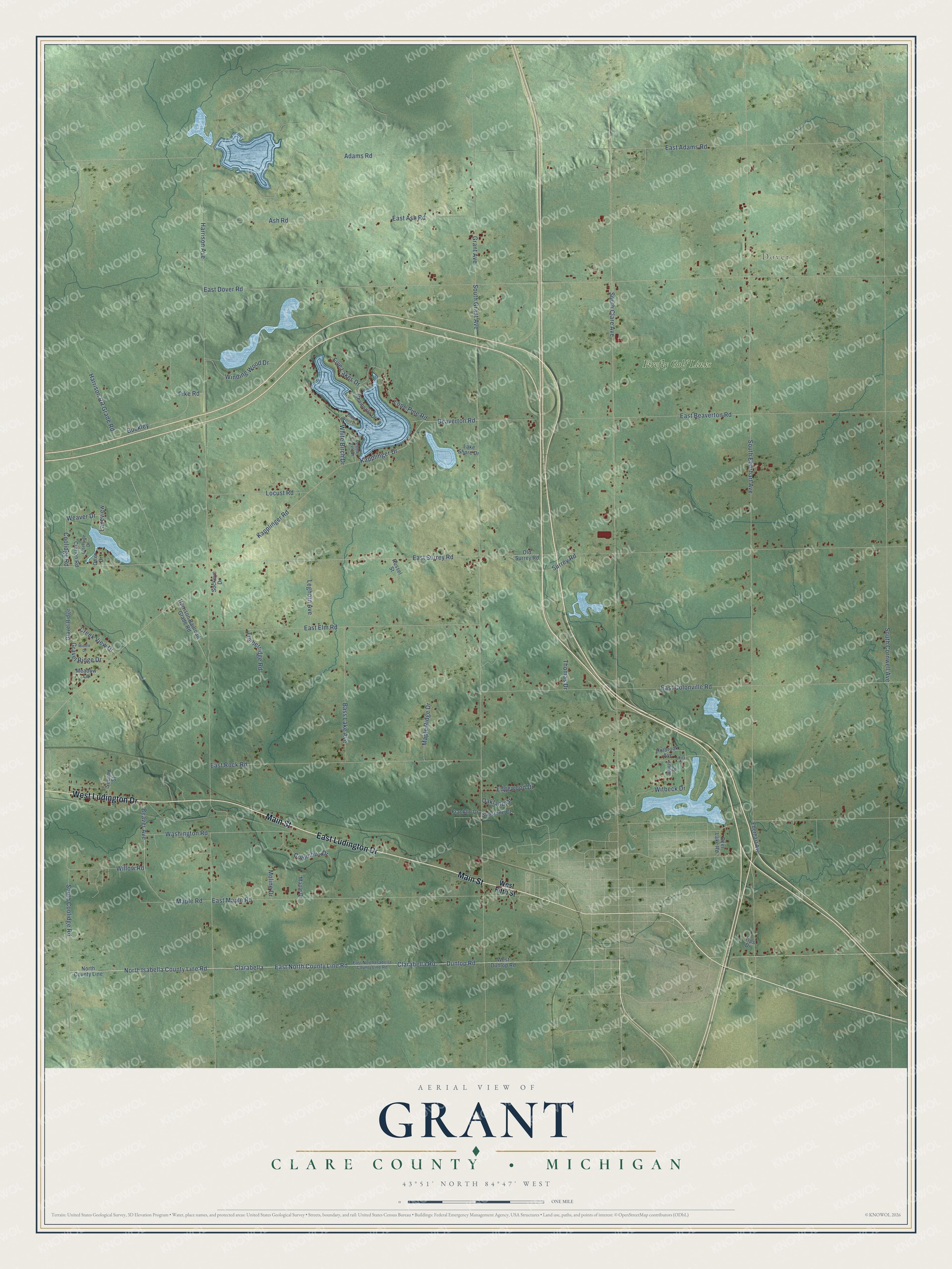
This beautifully detailed map of Grant, Michigan was created in 2026 using aerial imagery combined with modern topographical, census, street and landmark data. It's a modern aerial view of Grant in Clare County, Michigan, that combines modern data with a vintage aesthetic. The roads feature printed names, and if you look closely you can find your exact house accurately shown in its correct location.
Explore an aerial view of Grant, Michigan
On this map you'll find Dover, Firefly Golf Links, West Ludington Drive, East Ludington Drive, Main Street, Clarabella Road, North Isabella County Line Road, East North County Line Road, Coolidge Road, East Surrey Road, Weaver Drive, South Grant Avenue, and more. Each red shape is a building, so zoom in on the preview and look for yours.
Here is a piece of Grant history, in the words of the record. The record at arcgis.com puts it this way: "The Mount Pleasant field, opened in 1928, helped to make Michigan one of the leading oil producers of the eastern United States."
The Census Bureau counted 3,360 people here in 2020.
Take a closer look at the Grant map
Names on this map
These names are printed on this map.
Places: Dover and Firefly Golf Links.
Streets and roads: West Ludington Drive, East Ludington Drive, Main Street, Clarabella Road, North Isabella County Line Road, East North County Line Road, Coolidge Road, East Surrey Road, Weaver Drive, South Grant Avenue, South Eberhart Avenue, South Clare Avenue.
More street names, A to Z
Adams Road, Ash Road, Bass Lake Avenue, Beaver Avenue, Beaverton Road, Buckley, Clarabella, Clarion Road, Columbus Drive, Creek View Drive, Deep Wood Drive, Deer Lake Road, Dunlop Road, East Adams Road, East Ash Road, East Beaverton Road, East Colonville Road, East Dover Road, East Elm Road, East Maple Road, East North Isabella County Line Road, East Rock Road, Eberhart Avenue, Edgewood Drive, Five Lakes Drive, Franklin Drive, Grant Avenue, Gravel Ridge, Gravel Ridge Drive, Harrison Avenue, Harrison Railroad Grade Road, Harrison RR Grade Road, Holbrook Avenue, Julius Street, Kapplinger Drive, Kapplinger Road, Lake Shore Drive, Lakeview, Leghorn Avenue, Lena Drive, Locust Road, Lone Pine Road, Maple Drive, Maple Ridge Drive, Maple Road, Meadow Lane, Middle Drive, Moline Drive, North County Line, Oakland Drive, Old Surrey Road, Otter Drive, Otterside Drive, Pebble Creek Drive, Peninsula Drive, Pike Road, Russel Street, Second Street, Sockeye Drive, South Coolidge Road, South Cornwell Avenue, Sunstone Court, Surrey Road, Thomas Drive, Timberridge Road, Tips Drive, Washington Road, West Dunlop Road, West Fifth Street, White Birch Drive, Willow Road, Winding Wood Drive, Witbeck Drive.
Created by KNOWOL in 2026. The buildings are small red shapes, the roads carry their printed names, and shaded relief shows the shape of the land. The title panel reads "AERIAL VIEW OF GRANT, CLARE COUNTY • MICHIGAN" with 43°51' NORTH 84°47' WEST.
It suits a den, a classroom or a front hall, and it makes a gift for anyone with Grant roots. Open the preview and find the block you know. See sizes and frames for the Grant, Clare County map.