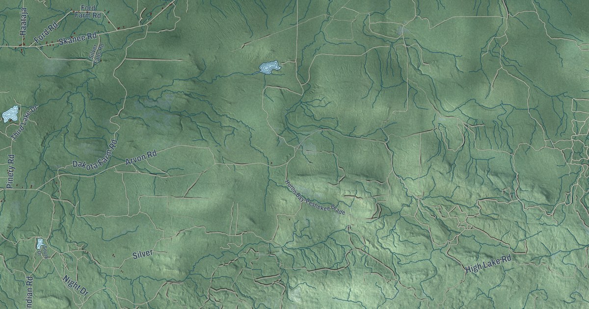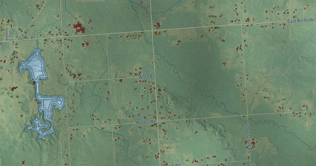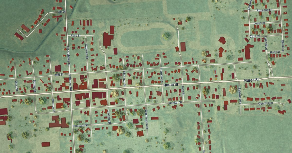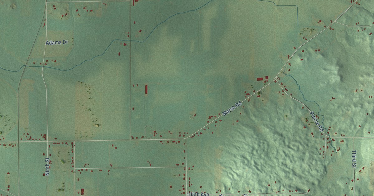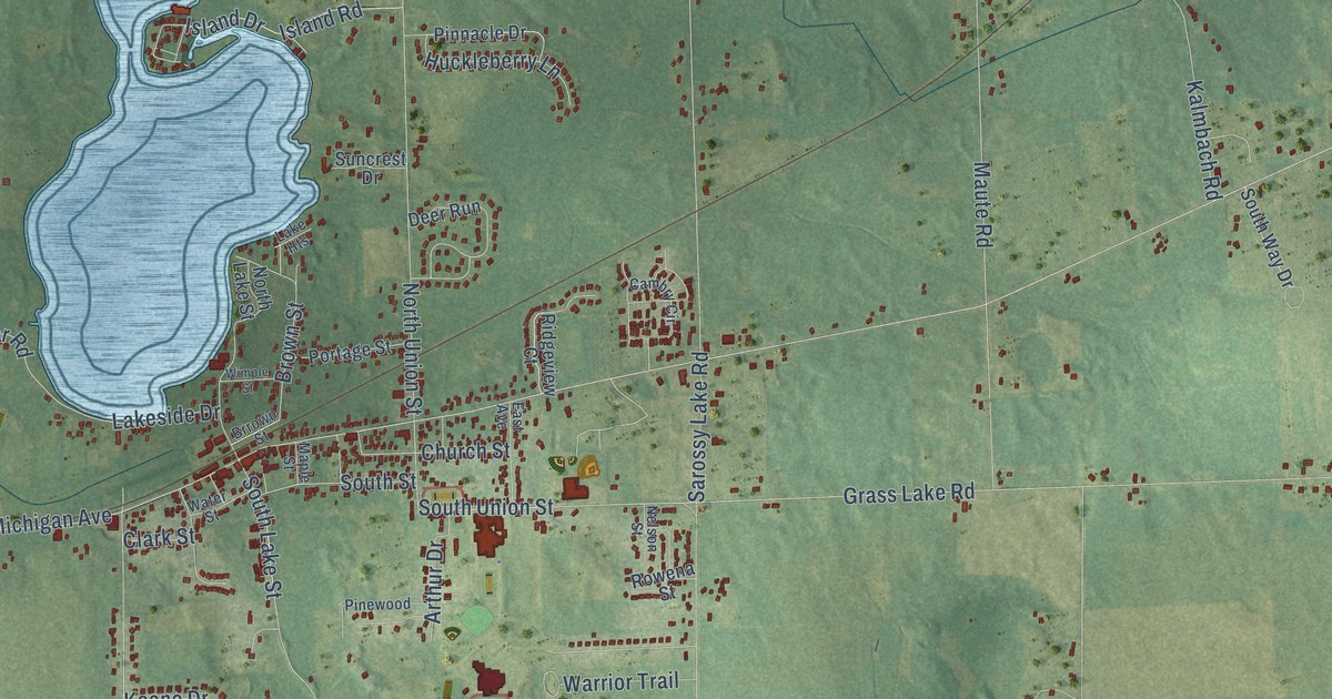
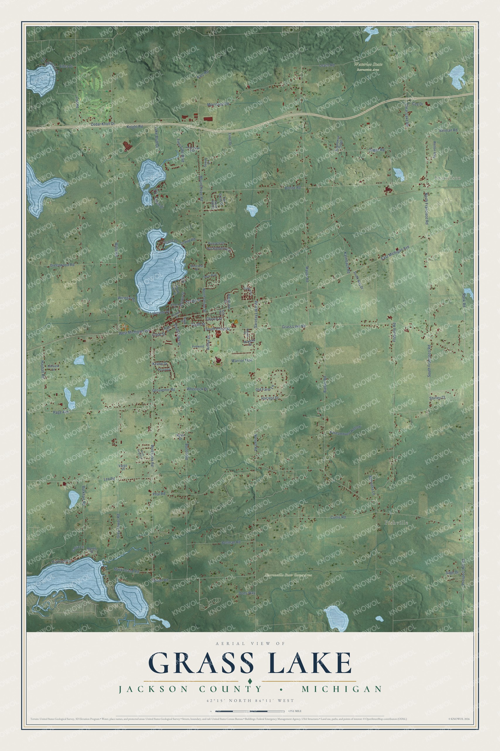
This beautifully detailed map of Grass Lake, Michigan was created in 2026 using aerial imagery combined with modern topographical, census, street and landmark data. It's a modern aerial view of Grass Lake in Jackson County, Michigan, that combines modern data with a vintage aesthetic. The roads feature printed names, and if you look closely you can find your exact house accurately shown in its correct location.
Explore an aerial view of Grass Lake, Michigan
On this map you'll find Francisco, Fishville, Sharonville State Game Area, Waterloo State Recreation Area, East Michigan Avenue, West Michigan Avenue, Rank Road, Grass Lake Road, Fishville Road, Maute Road, Norvell Road, Knight Road, and more. Each red shape is a building, so zoom in on the preview and look for yours.
Every town has a first chapter, and Grass Lake is no exception. The Internet Archive puts it this way: "Tiie nearest neighbor
east was 19 miles distant; David Keyes had opened the first house
of entertainment half a mile west of Grass Lake."
The Census Bureau counted 6,069 people here in 2020.
Take a closer look at the Grass Lake map
Names on this map
These names are printed on this map.
Places: Francisco, Fishville, Sharonville State Game Area and Waterloo State Recreation Area.
Streets and roads: East Michigan Avenue, West Michigan Avenue, Rank Road, Grass Lake Road, Fishville Road, Maute Road, Norvell Road, Knight Road, Willis Road, Burtch Road, Wolf Lake Road, Phal Road.
More street names, A to Z
Arthur Drive, Barber Road, Bellman Road, Betrasha Lane, Bohne Road, Brown Street, Brrown Street, Burkhart Road, Cambry Circle, Cedar Knoll Drive, Church Street, Clark Street, Clear Lake Road, Coy Drive, Curtis Road, Deer Run, Dons Way, East Avenue, Edna Drive, Elmer Drive, Fry Drive, Greenwood Road, Grey Tower Road, Grosvenor Road, Harvest Drive, Hayball Road, Highland Drive, Hillview Lane, Homestead Boulevard, Huckleberry Lane, Island Drive, Island Road, Kalmbach Road, Katz Road, Keane Drive, Lake Bluff Drive, Lake Heights, Lakeside Drive, Leach Drive, Leach Road, Lee Drive, Lee Road, List Road, Mack Island Road, Maple Street, Marquedat, Morris Drive, Morrissey Road, Mount Hope Road, Nelson Street, North Burgett Lane, North Francisco Road, North Lake Street, North Union Street, Nylen Drive, Old Farm Lane, Orban Road, Page Avenue, Pernambuco Hollow, Pinewood, Pinnacle Drive, Pleasant Drive, Portage Street, Prospect Hill Road, Reiman Road, Ridgeview Court, Rowena Street, Sage Drive, Sager Road, Sand Hill Drive, Sarossy Lake Road, Sawdy Lane, Shirley Court, South Francisco Road, South Lake Street, South Street, South Union Street, South Way Drive, Sportsman Ridge, Suncrest Drive, Tall Grass Drive, Tims Lake Boulevard, Vargo Court, Vatra Lane, Warrior Trail, Water Street, Welton Way, Wheelock Drive, Wimple Street, Winegar Road.
Created by KNOWOL in 2026. The buildings are small red shapes, the roads carry their printed names, and shaded relief shows the shape of the land. The title panel reads "AERIAL VIEW OF GRASS LAKE, JACKSON COUNTY • MICHIGAN" with 42°15' NORTH 84°11' WEST.
Hang it in the hallway, the office or the cabin, or give it to someone who left Grass Lake and still calls it home. Open the preview and look for a street you know. See sizes and frames for the Grass Lake, Jackson County map.