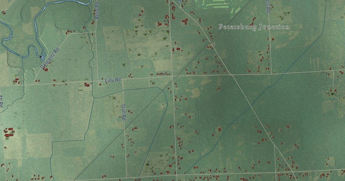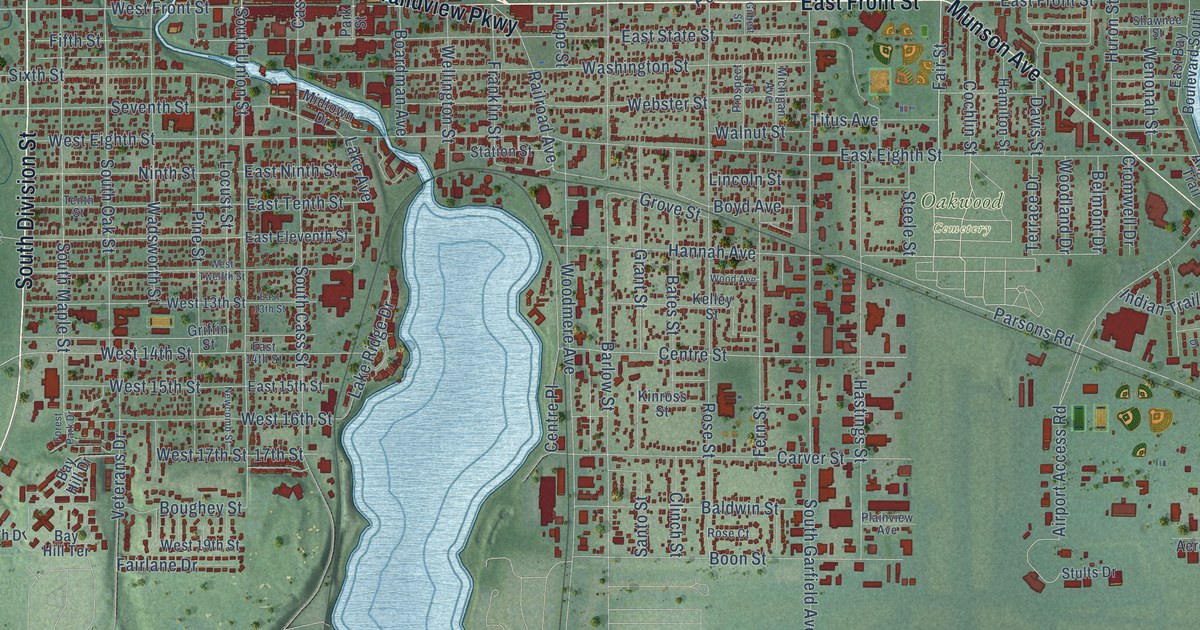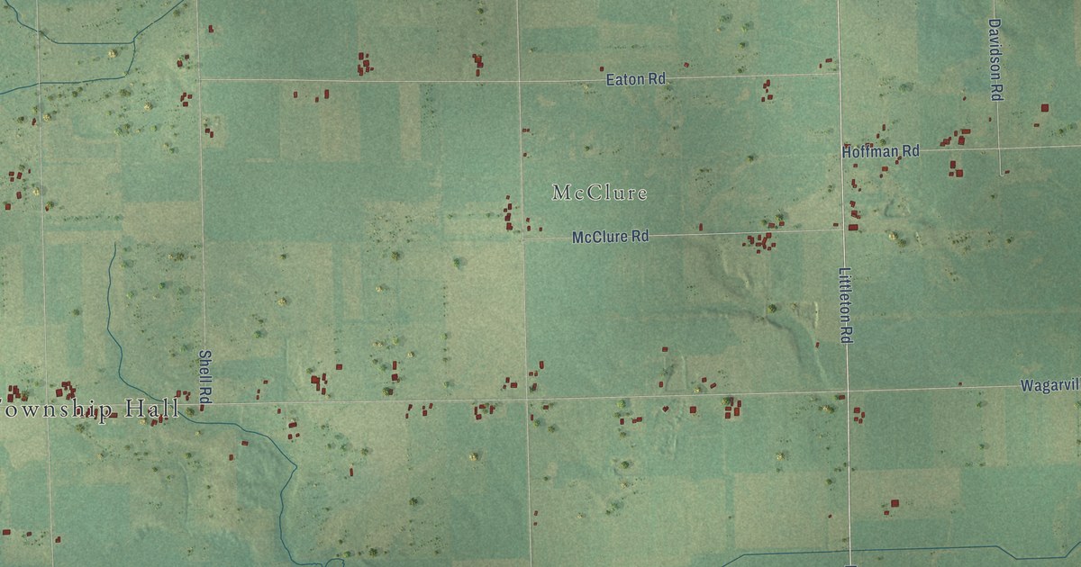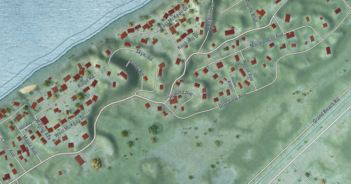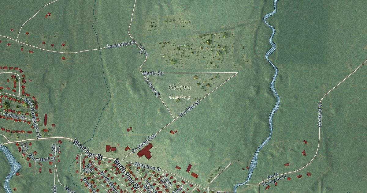
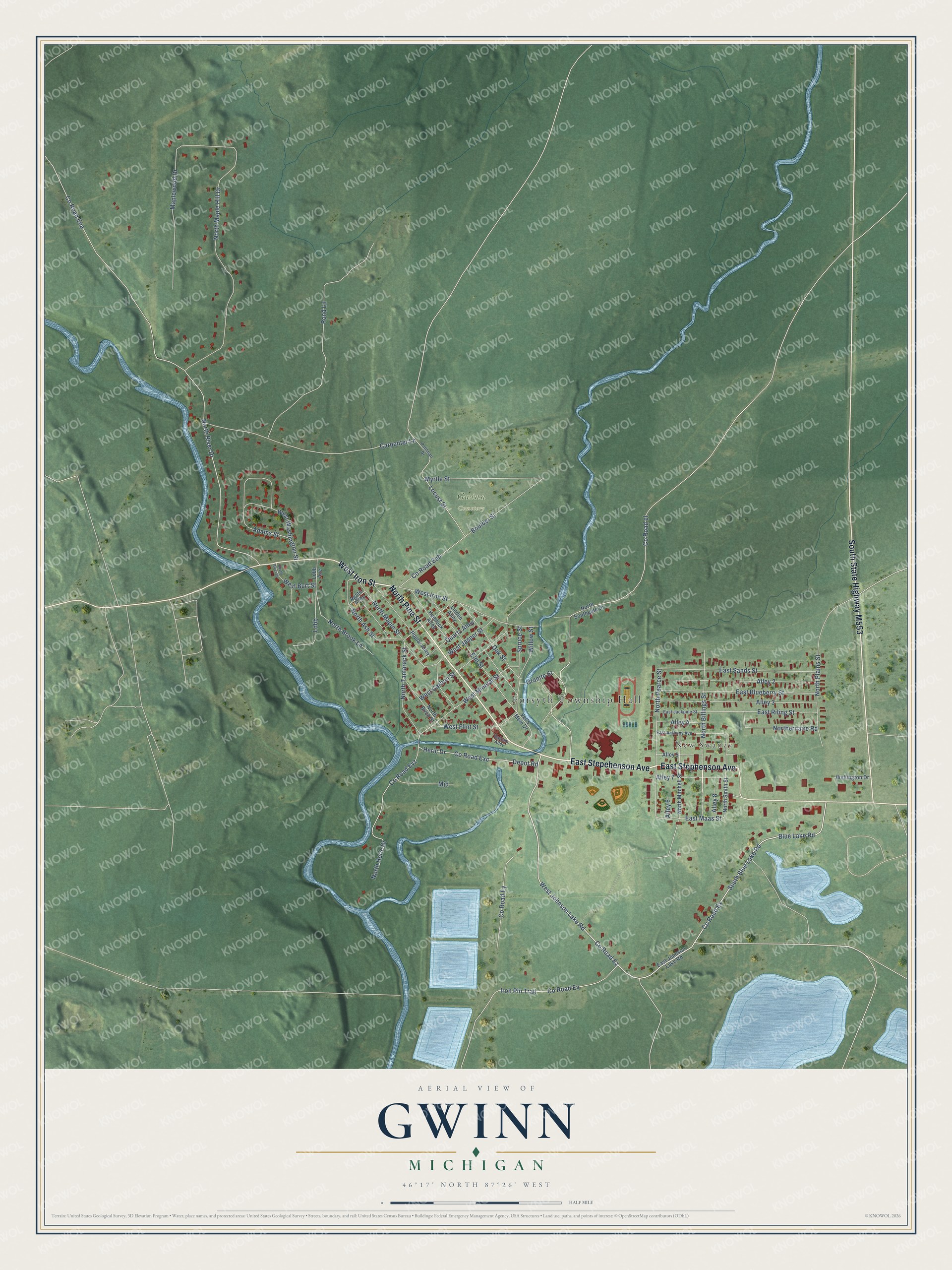
This beautifully detailed map of Gwinn, Michigan was created in 2026 using aerial imagery combined with modern topographical, census, street and landmark data. It's a modern aerial view of Gwinn in Marquette County, Michigan, that combines modern data with a vintage aesthetic. The roads feature printed names, and if you look closely you can find your exact house accurately shown in its correct location.
Explore an aerial view of Gwinn, Michigan
On this map you'll find Forsyth Township Hall, New Swanzy, Gwinn Cemetery, North Pine Street, East Stepehenson Avenue, South State Highway M553, East Stephenson Avenue, West Iron Street, Co Road Ex, Co Road Ez, West Johnson Lake Road, Co Road Ey, and more. Each red shape is a building, so zoom in on the preview and look for yours.
Gwinn is a community in Marquette County. The Census Bureau counted 1,784 people here in 2020. Gwinn sits about 13 miles southeast of Palmer, 14 miles south of Harvey and 16 miles southeast of Negaunee. The map prints the town name in its title panel, with the coordinates below it.
Take a closer look at the Gwinn map
Names on this map
These names are printed on this map.
Places: Forsyth Township Hall, New Swanzy and Gwinn Cemetery.
Streets and roads: North Pine Street, East Stepehenson Avenue, East Stephenson Avenue, West Iron Street, County Road Ex, County Road Ez, West Johnson Lake Road, County Road Ey, South Blue Lake Road, Blue Lake Road, County Road Exc, East Maas Street.
More street names, A to Z
Adams Street, Agate Alley, Alley 2, Alley 3, Alley 4, Alley 5, Alley 6, Alley 7, Alley 8, Balsam Alley, Boulder Street, Carpenter Lane, County Road Eea, County Road Eeb, County Road el, County Road Ev, County Road Eyz, Depot Road, East Anthony Avenue, East Blueberry Street, East Jackpine Street, East Johnson Lake Road, East Riling Street, East Sands Street, Elm Street, Granite Street, Hemlock Alley, Heric Drive, Iron Pin Trail, Linden Alley, Lobb, Lobb Avenue, Locust Street, Maplewood Drive, Mjd, Myrtle Street, North Ash Street, North Billings Street, North Birch Street, North Brook Lane, Northernaire Road, North Heric Drive, North Maple Hill Drive, North Maple Street, North Mitchell Street, North Pearce Street, North Plains Street, North River Drive, North Smith Street, North Southgate Drive, North Tamarack Street, Oak Street, Pohlman Drive, Pond Lane, Poplar Alley, Quartz Alley, South River Drive, Spruce Street, Vet's Mem Drive, Wellington Drive, West Burt Street, West Carbon Street, West Flint Street, West Jasper Street, West Mineral Street, West Washington Street, Willow Street.
See it on a wall
The Gwinn map as a framed print. Swipe for more.


Created by KNOWOL in 2026. The buildings are small red shapes, the roads carry their printed names, and shaded relief shows the shape of the land. The title panel reads "AERIAL VIEW OF GWINN, MICHIGAN" with 46°17' NORTH 87°26' WEST.
It looks right in a kitchen, an office or a den, and it's a gift for anyone who grew up in Gwinn or moved away. Open the preview and find your street. See sizes and frames for the Gwinn map.