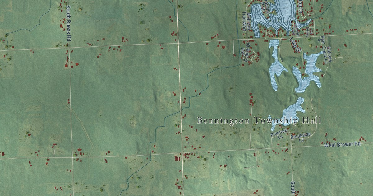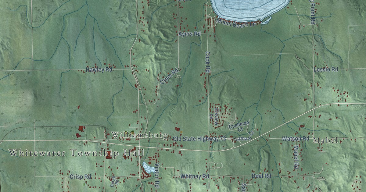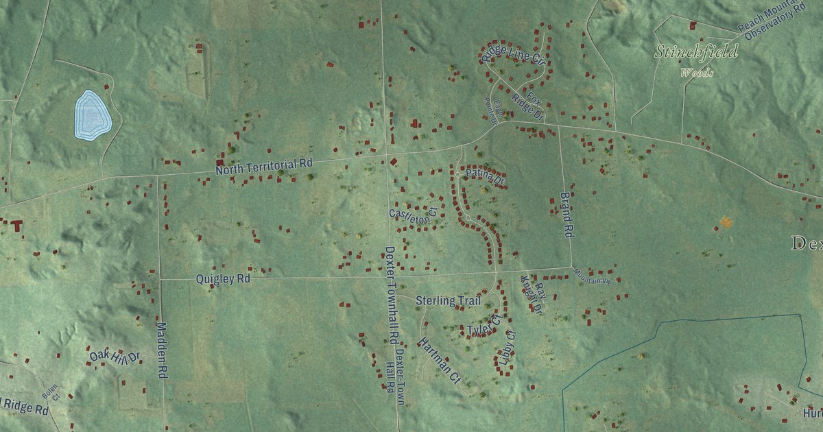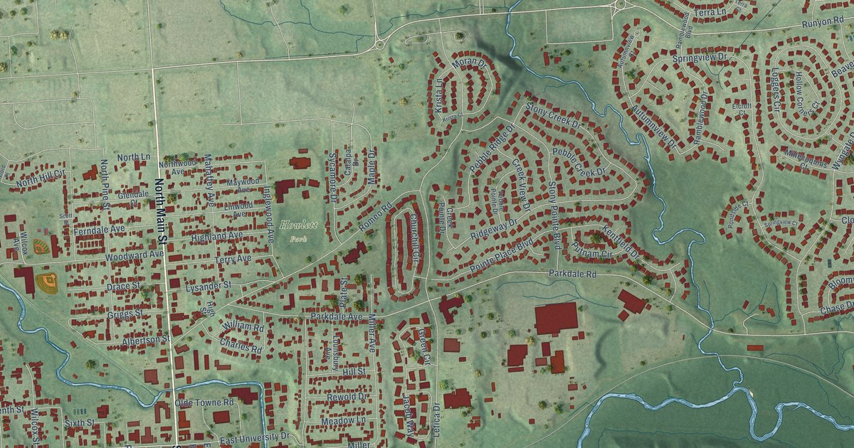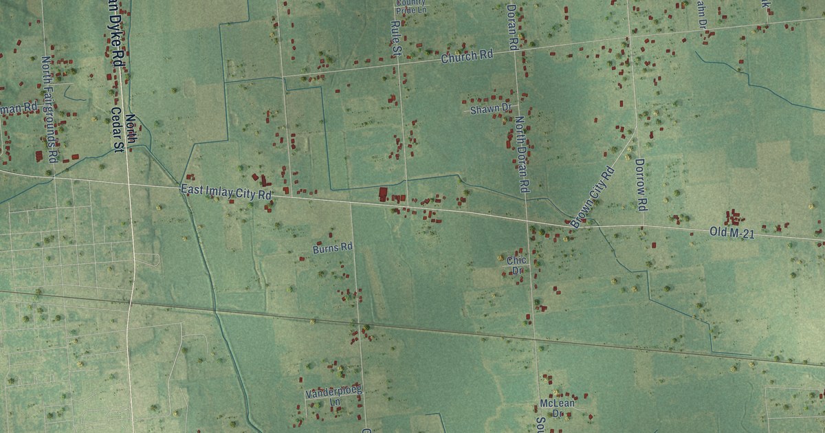
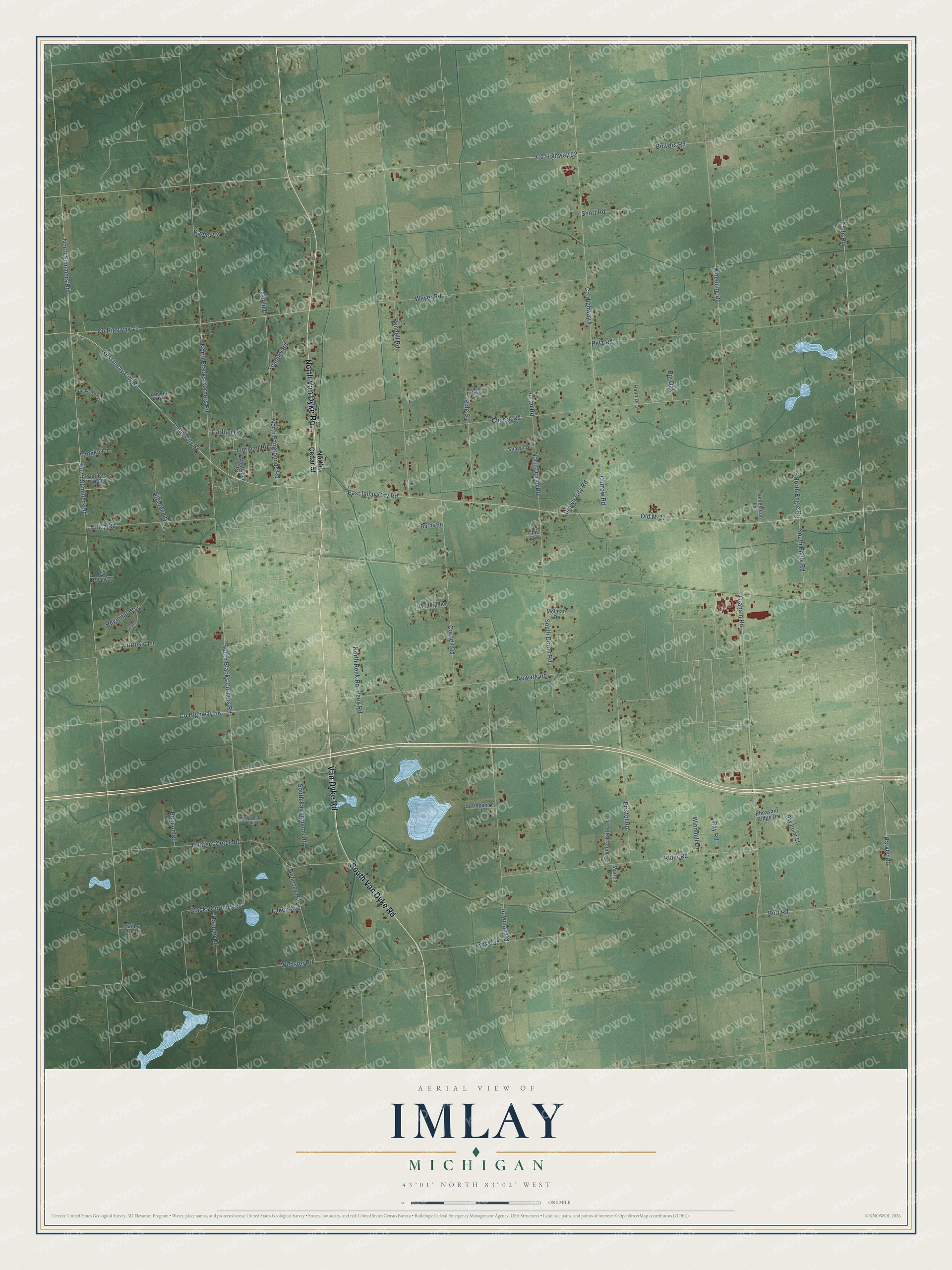
This beautifully detailed map of Imlay, Michigan was created in 2026 using aerial imagery combined with modern topographical, census, street and landmark data. It's a modern aerial view of Imlay in Lapeer County, Michigan, that combines modern data with a vintage aesthetic. The roads feature printed names, and if you look closely you can find your exact house accurately shown in its correct location.
Explore an aerial view of Imlay, Michigan
On this map you'll find Van Dyke Road, North Van Dyke Road, South Van Dyke Road, Old M-21, West Imlay City Road, Co Highway 25, North Summers Road, East Imlay City Road, South Summers Road, Imlay City Road, Burt Road, Attica Road, and more. Each red shape is a building, so zoom in on the preview and look for yours.
Here is a piece of Imlay history, in the words of the record. The History of Lapeer County puts it this way: "In 1834 a mill was built in Imlay Township by Wilcox and Hovey, which afterward passed into the hands of the Imlay Mill Company. Mills sprang up at various points and cut the pine in their respective neighborhoods and then disappeared."
The Census Bureau counted 3,115 people here in 2020.
Take a closer look at the Imlay map
Names on this map
These names are printed on this map.
Streets and roads: Van Dyke Road, North Van Dyke Road, South Van Dyke Road, Old M-21, West Imlay City Road, County Highway 25, North Summers Road, East Imlay City Road, South Summers Road, Imlay City Road, Burt Road, Attica Road.
More street names, A to Z
Bailey Park Drive, Bay Point Court, Beacon Road, Big Oak, Blacks Corners Road, Bosker Lane, Bowers Road, Bowman Road, Bristol Road, Brookhaven Drive, Brown City Road, Burns Road, Cade Road, Carlton Drive, Chic Drive, Church Road, Corneil Road, Country Kate Lane, Country Pride Lane, County Highway 4, County Highway 52, County Highway 58, Doran Road, Dorrow Road, Gould Drive, Graham Road, Hahn Drive, Hannan Road, Harvey Road, Henesey Road, Highland Drive, Homestead Lane, Hunters Creek Road, Intrinsic Lane, Kahler Lane, Laken Avenue, Lanake Lane, Lierman Road, Marlea Court, McLean Drive, Mill Creek Trail, Newark Road, North Blacks Corners Road, North Cedar Street, North Doran Road, North Engle Road, North Fairgrounds Road, North Reek Road, Pennell Road, Petz Road, Pheasant Ridge Drive, Pvt Driveway, Ray Road, Reek Road, Regional Way, Rider Road, Ross Road, Rule Street, Seabury Road, Serene Drive, Shawn Drive, Short Road, South Blacks Corners Road, South Doran Road, South Engle Road, South Fairgrounds Road, Springshire Court, Sunny's Way, Vanderploeg Lane, Webster Road, Westwood Drive, Weyer Road, Wheeling Road, Windmill Lane.
Created by KNOWOL in 2026. The buildings are small red shapes, the roads carry their printed names, and shaded relief shows the shape of the land. The title panel reads "AERIAL VIEW OF IMLAY, MICHIGAN" with 43°01' NORTH 83°02' WEST.
It suits a den, a classroom or a front hall, and it makes a gift for anyone with Imlay roots. Open the preview and find the block you know. See sizes and frames for the Imlay map.