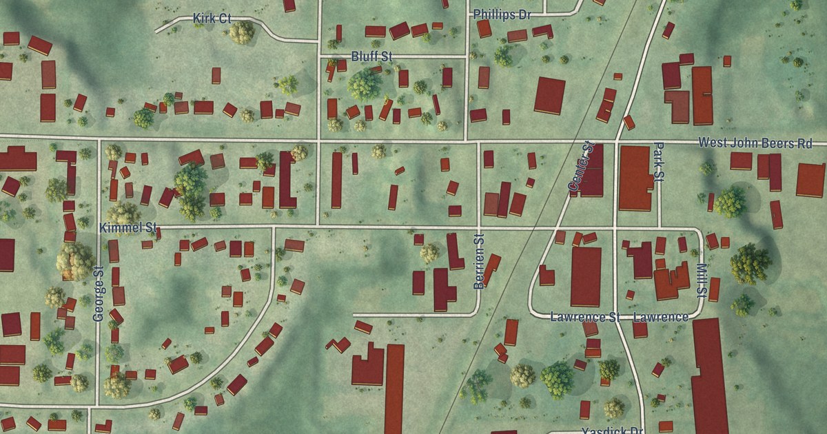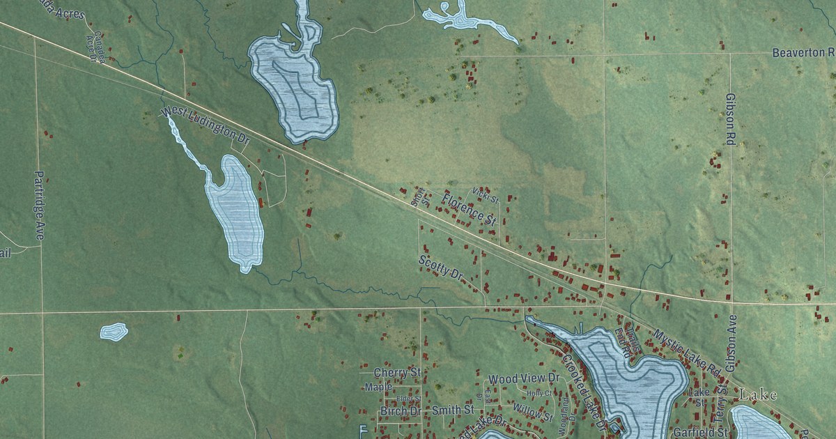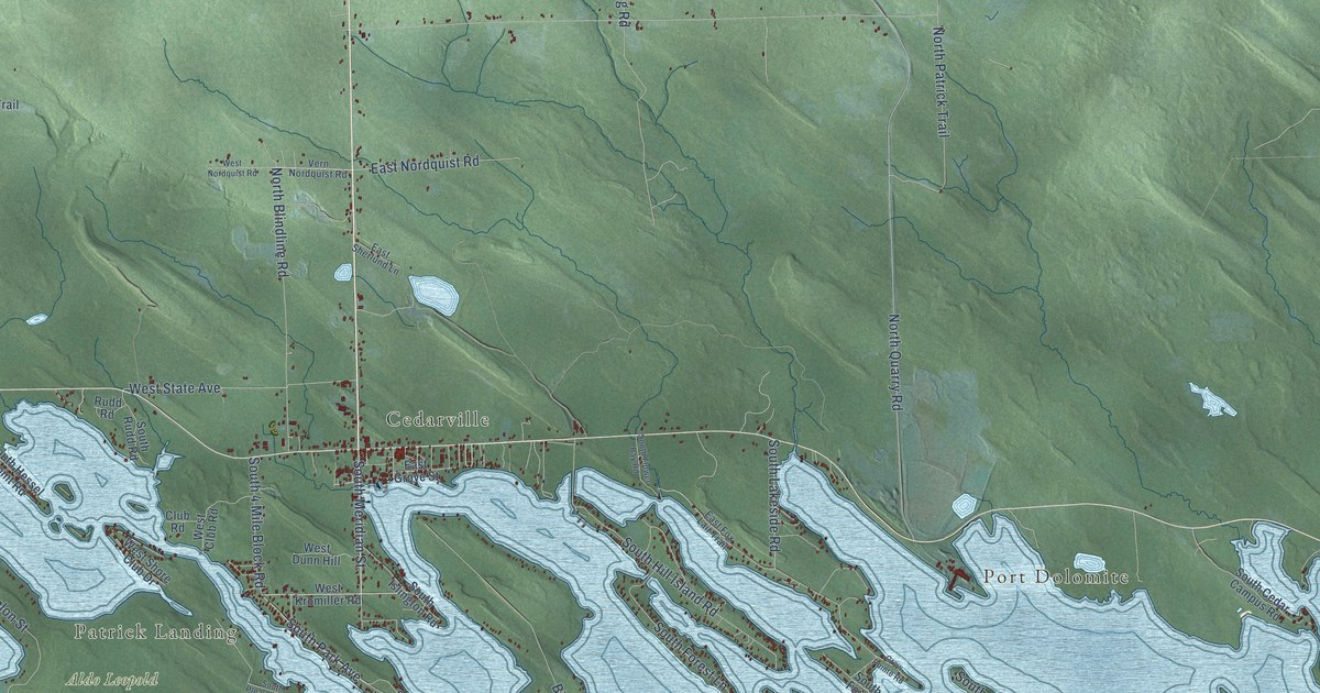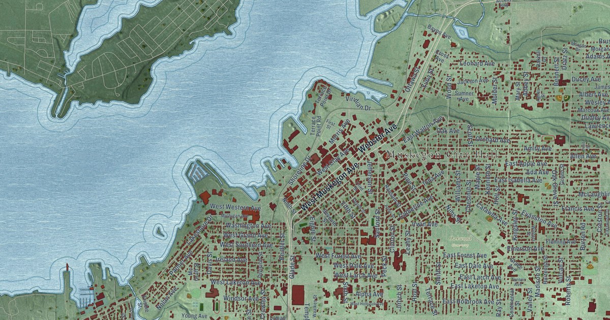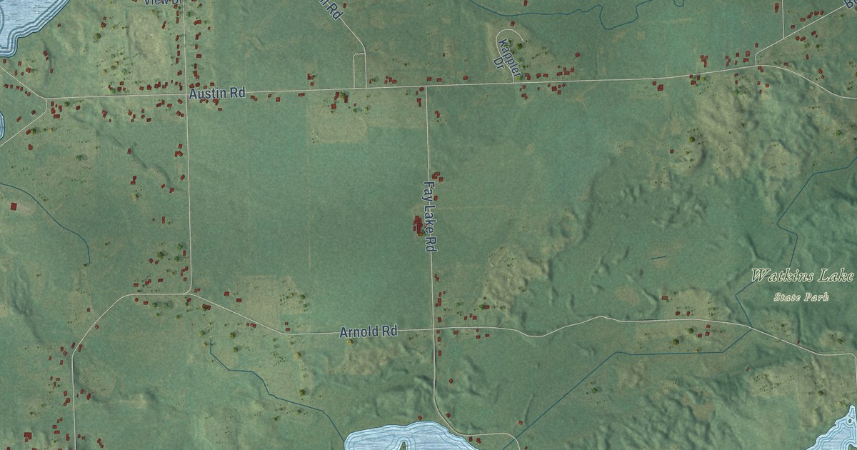
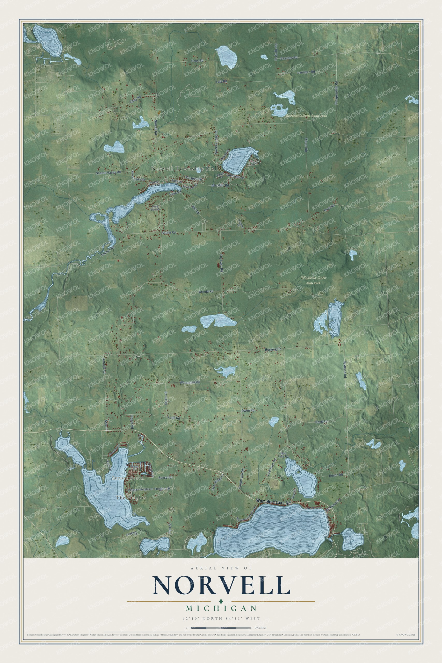
This beautifully detailed map of Norvell, Michigan was created in 2026 using aerial imagery combined with modern topographical, census, street and landmark data. It's a modern aerial view of Norvell in Jackson County, Michigan, that combines modern data with a vintage aesthetic. The roads feature printed names, and if you look closely you can find your exact house accurately shown in its correct location.
Explore an aerial view of Norvell, Michigan
On this map you'll find Norvell Township Hall, The Heights, Sunset Beach, Sharonville State Game Area, Watkins Lake State Park, Wamplers Lake Road, Watkins Road, Wellwood Road, Sweezy Lake Road, Case Road, Sharon Valley Road, Austin Road, and more. Each red shape is a building, so zoom in on the preview and look for yours.
Norvell has a story worth telling. The History of Jackson County puts it this way: "The pleasant little village of Norvell has a hotel, churches, school-house, flouring-mill, railroad, and affords a good market for the surrounding country."
The Census Bureau counted 2,800 people here in 2020.
Take a closer look at the Norvell map
Names on this map
These names are printed on this map.
Places: Norvell Township Hall, The Heights, Sunset Beach, Sharonville State Game Area and Watkins Lake State Park.
Streets and roads: Wamplers Lake Road, Watkins Road, Wellwood Road, Sweezy Lake Road, Case Road, Sharon Valley Road, Austin Road, Horning Road, Arnold Road, Lawrence Road, Waterman Road, Fay Lake Road.
More street names, A to Z
Antcliff, Antcliff Road, Beech Road, Bettis Road, Buss Road, Cady Road, Canal Drive, Cash Road, Deer Ridge Lane, Easudes Road, Fishville Road, Hardcastle Road, Harris Drive, Harris Road, Heights Drive, Hillanlake Drive, Idle Hills Road, Kappler Drive, Knapp Road, Ladd Road, Lake Shore Drive, Lakeview Drive, Lammon Road, Lutz Road, Melrose Court, Mill Road, Mud Lake Road, Norvell Beach Drive, Norvell Lake Road, Norvell Road, Owen Road, Palmer Road, Park Drive, Pierce Road, Pink Street, Prospect Hill Road, Prospect Street, Raby Road, Railroad Street, Reynolds Road, Sand Drive, Shoreline Drive, Singer Road, Sunset Drive, Swan View Drive, Timber Lane, Vineyard Heights Drive, Vineyard Lane, Wamplers Heights Drive.
Created by KNOWOL in 2026. The buildings are small red shapes, the roads carry their printed names, and shaded relief shows the shape of the land. The title panel reads "AERIAL VIEW OF NORVELL, MICHIGAN" with 42°10' NORTH 84°11' WEST.
It looks right in a kitchen, an office or a den, and it's a gift for anyone who grew up in Norvell or moved away. Open the preview and find your street. See sizes and frames for the Norvell map.