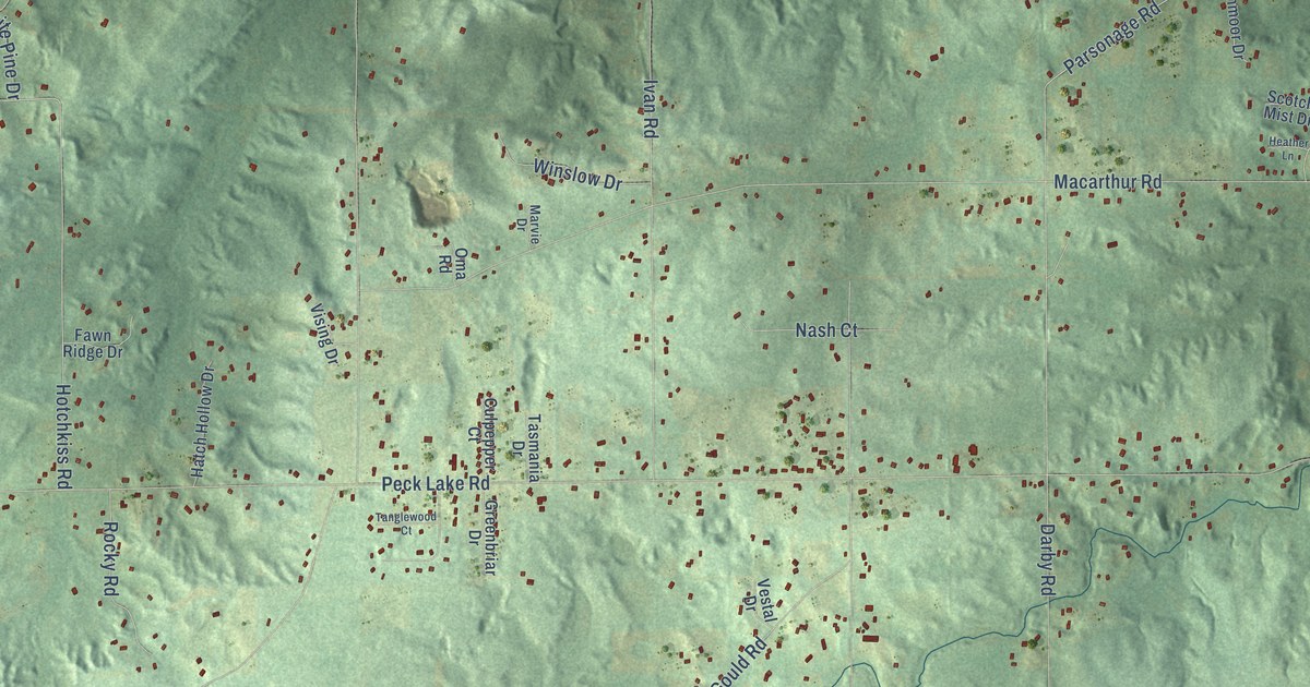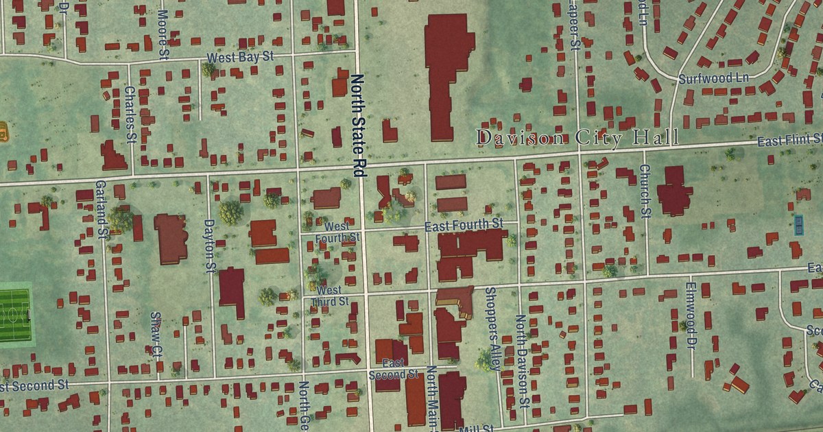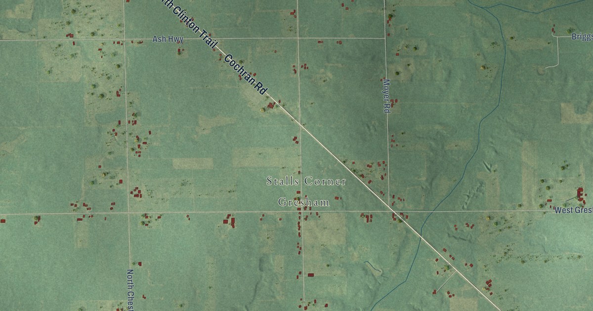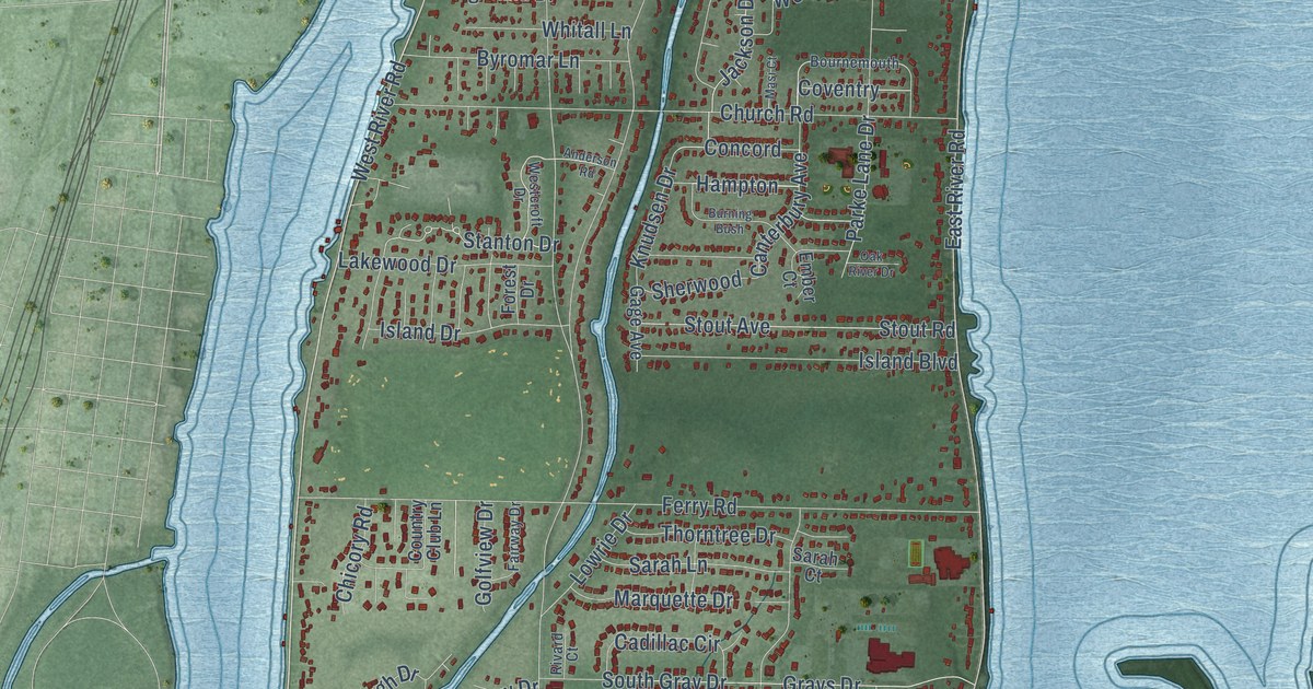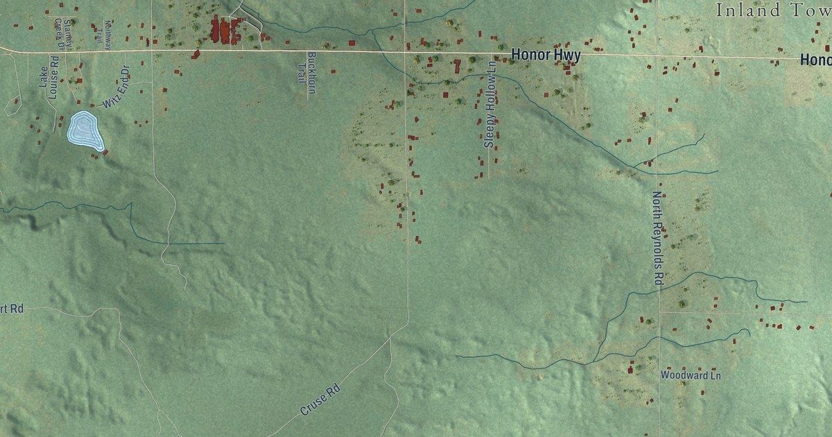
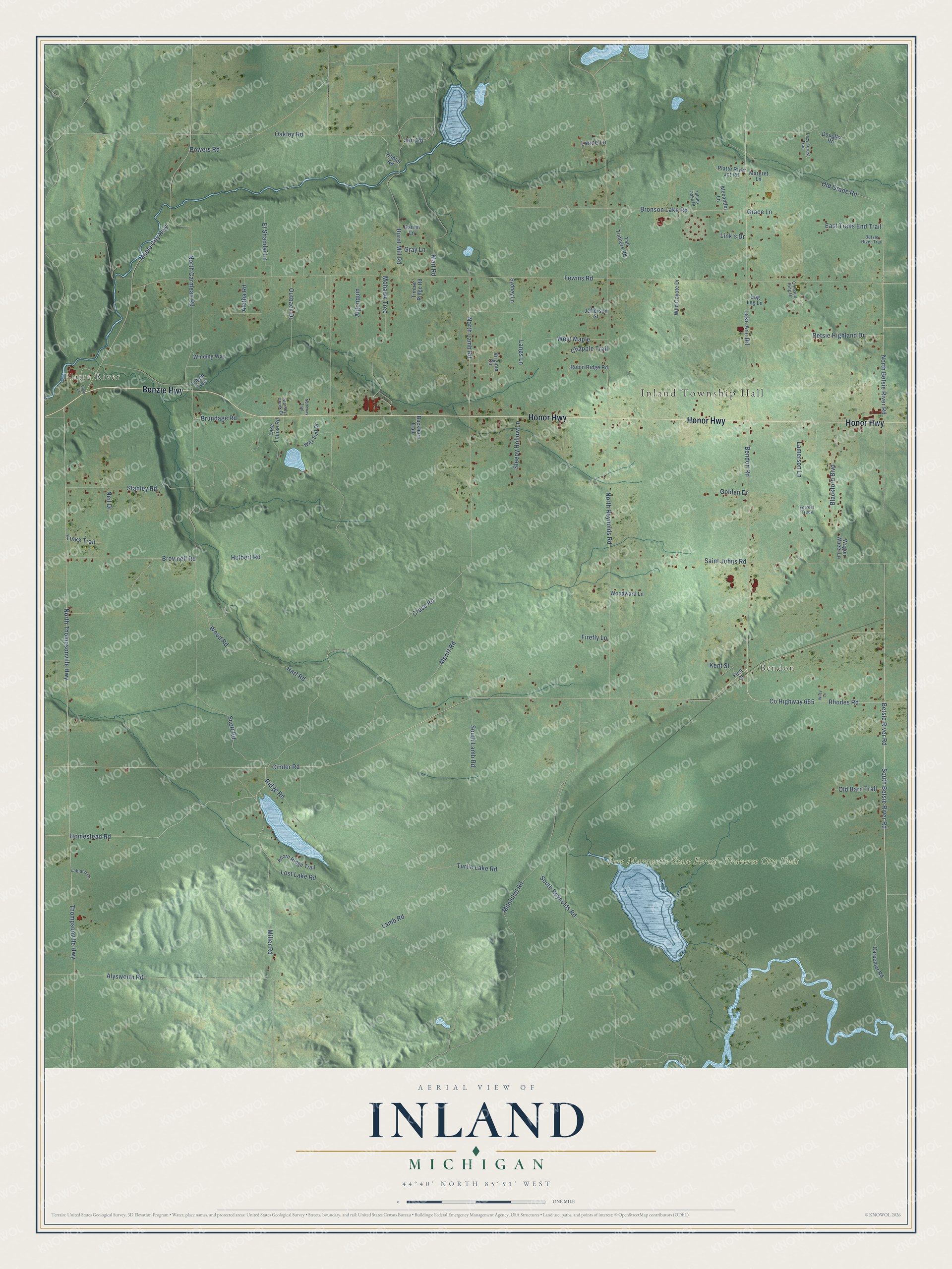
This beautifully detailed map of Inland, Michigan was created in 2026 using aerial imagery combined with modern topographical, census, street and landmark data. It's a modern aerial view of Inland in Benzie County, Michigan, that combines modern data with a vintage aesthetic. The roads feature printed names, and if you look closely you can find your exact house accurately shown in its correct location.
Explore an aerial view of Inland, Michigan
On this map you'll find Inland Township Hall, Platte River, Bendon, Pere Marquette State Forest – Traverse City Unit, Honor Highway, Benzie Highway, North Betsie River Road, North Thompsonville Highway, Rhodes Road, Co Highway 665, Betsie River Road, South Betsie River Road, and more. Each red shape is a building, so zoom in on the preview and look for yours.
Inland has a story worth telling. The record at arcgis.com puts it this way: "In 1966 at this site the Department of Conservation released coho fingerlings, hatchery-reared from eggs given by the state of Oregon."
The Census Bureau counted 2,386 people here in 2020.
Take a closer look at the Inland map
Names on this map
These names are printed on this map.
Places: Inland Township Hall, Platte River, Bendon and Pere Marquette State Forest - Traverse City Unit.
Streets and roads: Honor Highway, Benzie Highway, North Betsie River Road, North Thompsonville Highway, Rhodes Road, County Highway 665, Betsie River Road, South Betsie River Road, Cinder Road, Miller Road, Scott Road, Lake Ann Road.
More street names, A to Z
Acorn Ridge Trail, Aletha Road, Alexander Lane, Algonquin, Alysworth Road, Bendon Road, Betsie Highland Drive, Betsie River Trail, Blackford Boulevard, Bowers Road, Bronson Lake Road, Brownell Road, Brundage Road, Buckhorn Trail, Burnt Mill Road, Carpenter Road, Chapple Trail, Coho Lane, Crimson King Drive, Cruse Road, Dog Leg Lane, Douglas Road, East Trails End Trail, El Shaddai Lane, Fewins Road, Firefly Lane, First Street, Forrest Track, Garvin Lane, Golden Drive, Grace Lane, Gray Lane, Habler Road, Hart Road, Homestead Road, Hulbert Road, Inland Oaks Drive, Jefferson Street, Jeri Road, Kent Street, Labland Lane, Lake Louise Road, Lamb Road, Lamerson Lane, Lance Lane, Langs Lane, Lazy Forest Trail, Link's Drive, Lost Lake Road, Maple City Highway, Margret Lane, Marl Road, Meritt Road, Milnichol Road, Mohawk Trce, Neil Drive, North Carmean Road, North Lamb Road, North Reynolds Road, Northway Trail, Oakley Road, Old Barn Trail, Old Grade Road, Outback Drive, Platte River Jct Road, Ridge Road, Robin Ridge Road, Saint Johns Road, Sleepy Hollow Lane, South Lamb Road, South Reynolds Road, Stanley Creek Drive, Stanley Road, Sydney Lane, Tall Timbers Road, Thompsonville Highway, Timber Ridge Road, Tinks Trail, Totem Trail, Turtle Lake Road, Virginia Circle, Wagon Wheel Lane, West Maple, Wild Coyote Drive, Wiley Lane, Winding Way, Witz End Drive, Wood Road, Woodward Lane.
Created by KNOWOL in 2026. The buildings are small red shapes, the roads carry their printed names, and shaded relief shows the shape of the land. The title panel reads "AERIAL VIEW OF INLAND, MICHIGAN" with 44°40' NORTH 85°51' WEST.
It looks right in a kitchen, an office or a den, and it's a gift for anyone who grew up in Inland or moved away. Open the preview and find your street. See sizes and frames for the Inland map.