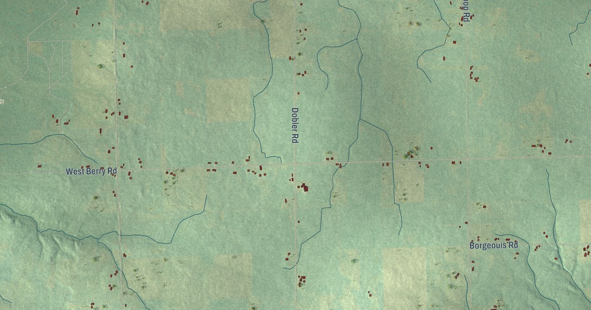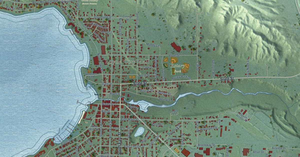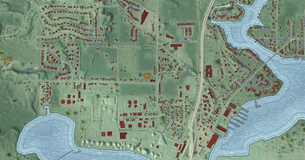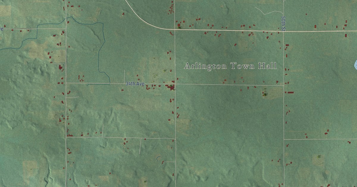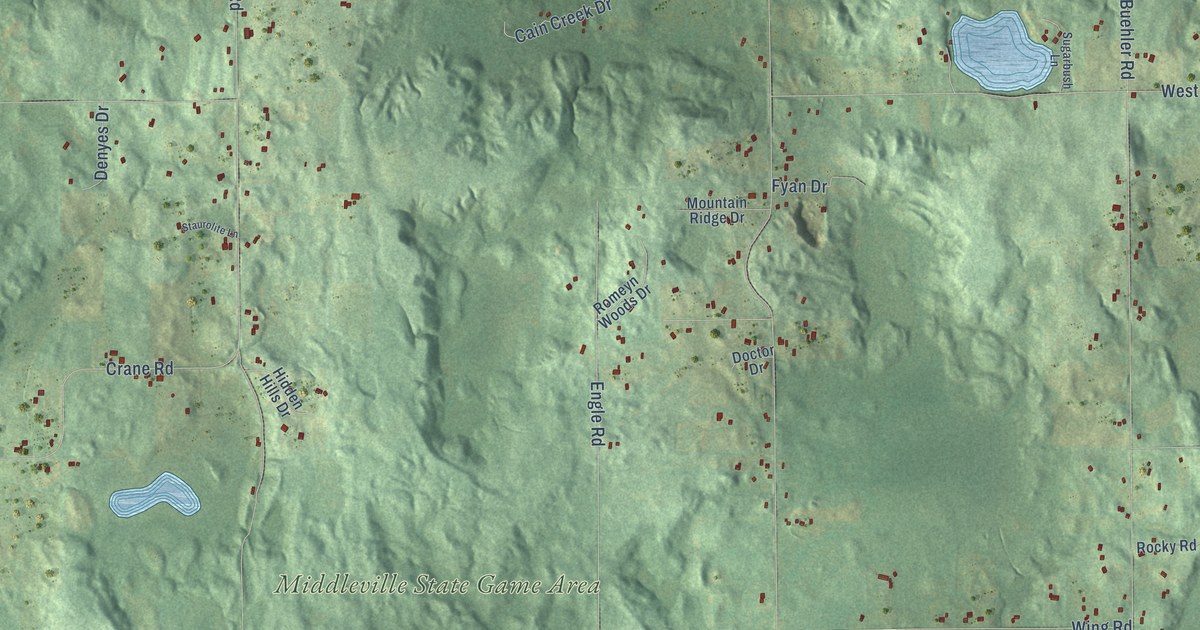
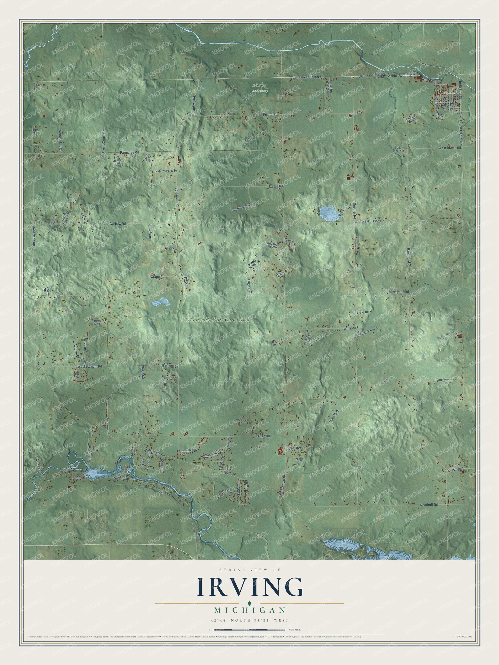
This beautifully detailed map of Irving, Michigan was created in 2026 using aerial imagery combined with modern topographical, census, street and landmark data. It's a modern aerial view of Irving in Barry County, Michigan, that combines modern data with a vintage aesthetic. The roads feature printed names, and if you look closely you can find your exact house accurately shown in its correct location.
Explore an aerial view of Irving, Michigan
On this map you'll find Freeport, Maher Sanctuary, Middleville State Game Area, 108th Street, 108th Street Southeast, Vedder Road, Buehler Road, North State Street, Hammond Road, North East Street, Fighter Road, West Barnum Road, and more. Each red shape is a building, so zoom in on the preview and look for yours.
Here is a piece of Irving history, in the words of the record. The History of Allegan and Barry Counties puts it this way: "The first post-office established in Irving was one of the results of the opening of the stage-route between Battle Creek and Grand Rapids via Hastings, July 1, 1846. It was located at the house of A. E. Bull (who was appointed postmaster), and called Irving."
The Census Bureau counted 3,734 people here in 2020.
Take a closer look at the Irving map
Names on this map
These names are printed on this map.
Places: Freeport, Maher Sanctuary and Middleville State Game Area.
Streets and roads: 108th Street, 108th Street Southeast, Vedder Road, Buehler Road, North State Street, Hammond Road, North East Street, Fighter Road, West Barnum Road, Solomon Road, Woodschool Road, West State Road.
More street names, A to Z
Algen Drive, Autumn Ridge Drive, Bair Drive, Barnum Road, Beech Street, Black Creek Drive, Bonny Hills Drive, Butterfly Lane, Cain Creek Drive, Cherry Street, Church Street, Cold Creek Drive, Country Cove Court, Country Meadows Lane, County Highway 446, County Line Road, Crane Road, Daisy Lane, Denyes Drive, Doctor Drive, Eckert Road, Engle Road, Ethel Drive, Foxglove Drive, Fyan Drive, Garbow Road, Gorton Drive, Grange Road, Harris Creek Road, Hidden Hills Drive, Hidden Hollow Drive, Horseshoe Trail, Humphrey Road, Irving Road, Jarman Road, Johnson Road, Johnson Valley Court, Josie Lane, Kidder Drive, Knoll Drive, Loftus Road, Maple Street, McCann Road, Mountain Ridge Drive, Nagle Road, Natures Place Drive, Niobrara Court, Parmalee Road, Pauvery Drive, Pine Trail Drive, Race Street, Robertson Road, Rocky Road, Romeyn Woods Drive, Roundtree Drive, Rozell Drive, Ryan Road, Saint Johns Street, Snowy River Drive, South East Street, South State Street, Stager Drive, Stanton Drive, State Road, Staurolite Lane, Sugarbush Lane, Sugar Creek Drive, Sugar Maple Lane, Tatonka Drive, Thornbird Drive, Thunder Valley Drive, Timothy Drive, Walnut Grove Court, Warren Street, West Brown Road, West Irving Road, West Sisson Road, Whispering Hills Lane, Wildflower Drive, Willits Road, Wing Road, Woodchuck Run Drive, Woodruff Road, Woodsy End Drive, Zoet Drive.
Created by KNOWOL in 2026. The buildings are small red shapes, the roads carry their printed names, and shaded relief shows the shape of the land. The title panel reads "AERIAL VIEW OF IRVING, MICHIGAN" with 42°44' NORTH 85°22' WEST.
It suits a den, a classroom or a front hall, and it makes a gift for anyone with Irving roots. Open the preview and find the block you know. See sizes and frames for the Irving map.