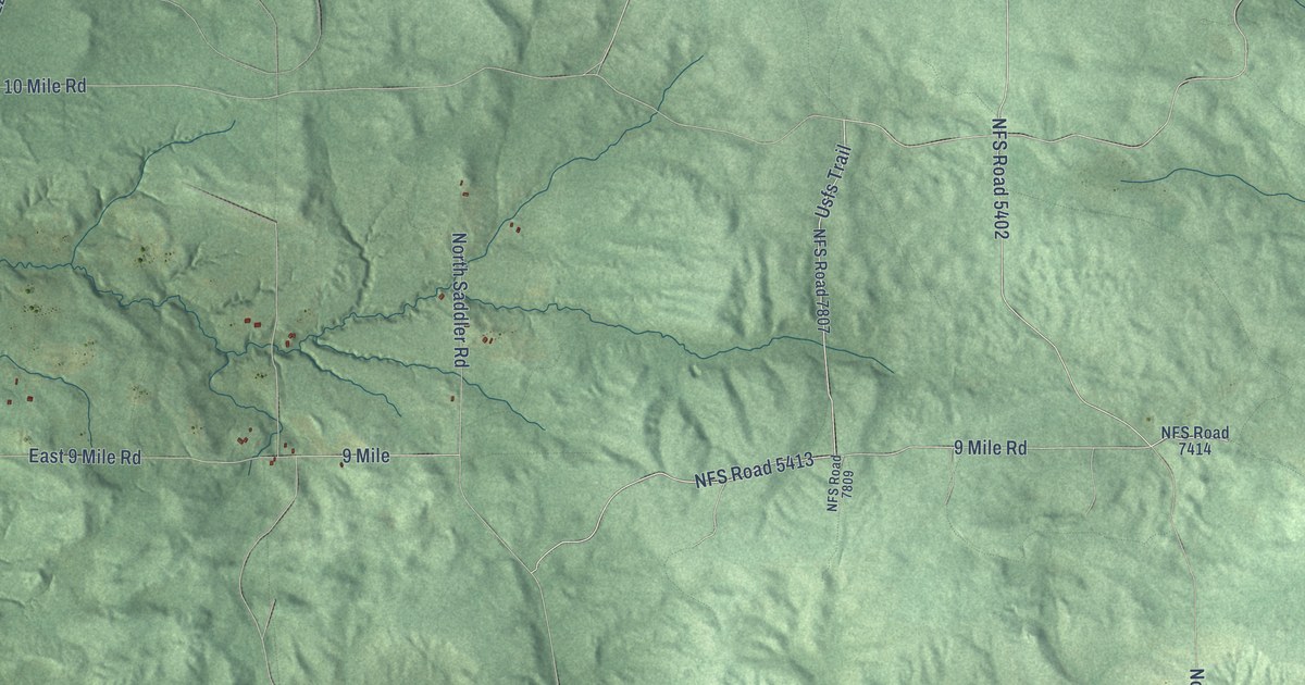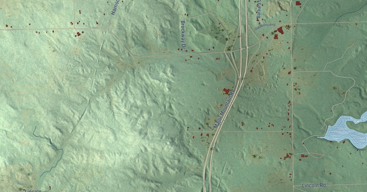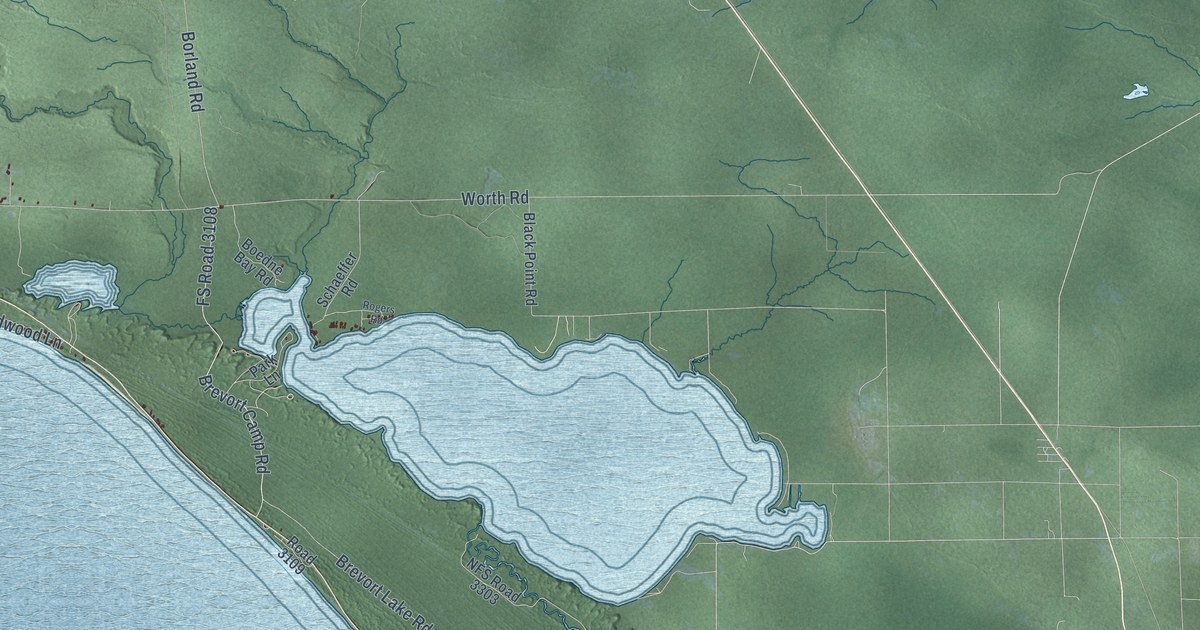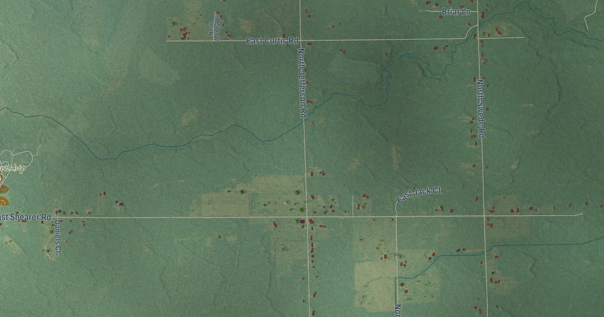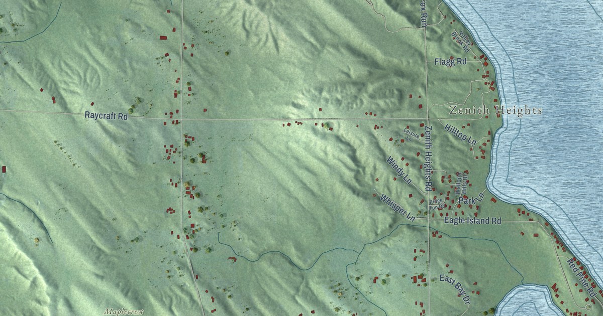
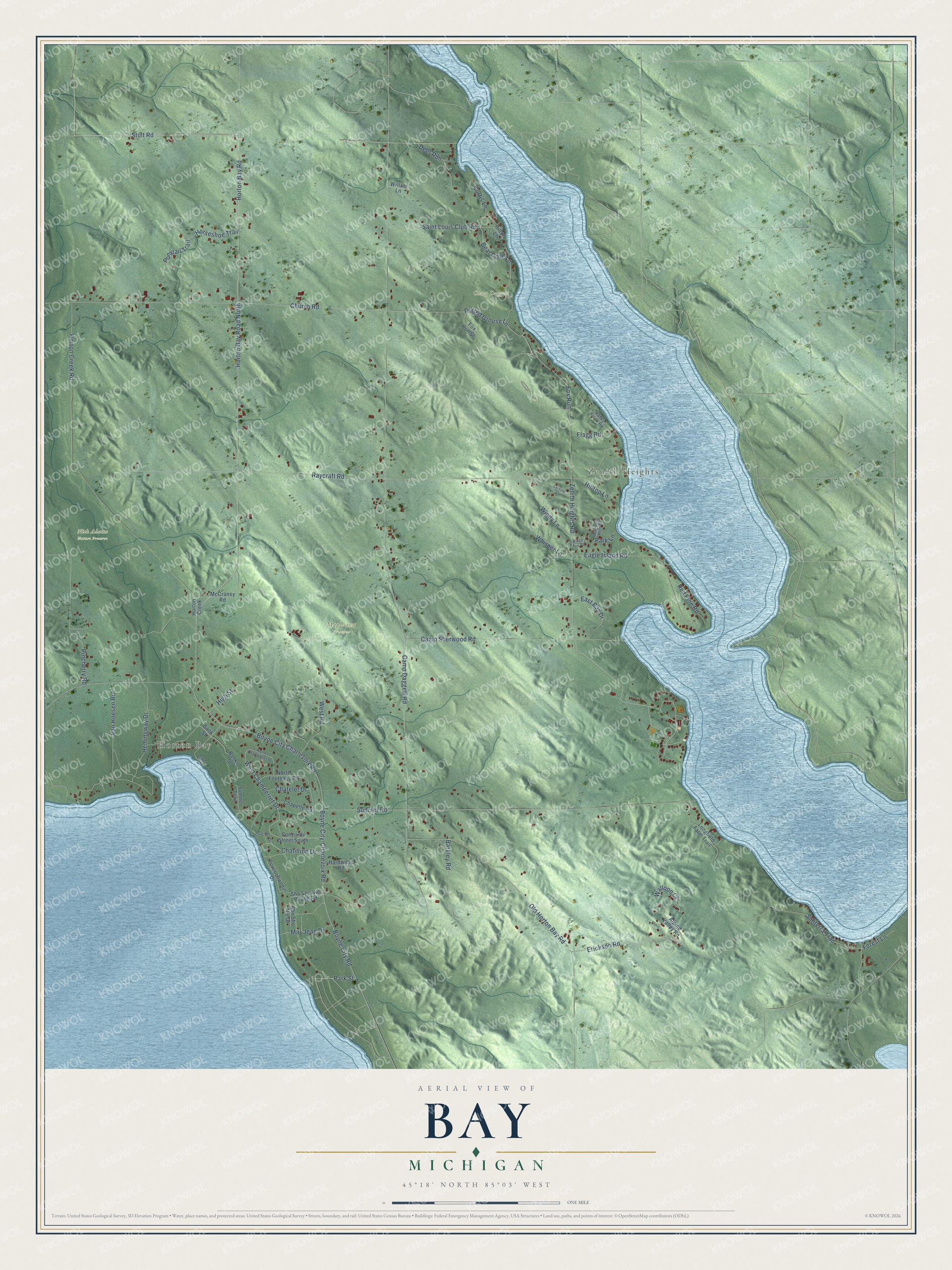
This beautifully detailed map of Bay, Michigan was created in 2026 using aerial imagery combined with modern topographical, census, street and landmark data. It's a modern aerial view of Bay in Charlevoix County, Michigan, that combines modern data with a vintage aesthetic. The roads feature printed names, and if you look closely you can find your exact house accurately shown in its correct location.
Explore an aerial view of Bay, Michigan
On this map you'll find Horton Bay, Zenith Heights, Camp Daggett, Maplecrest Preserve, Nick Adams Nature Preserve, Horton Bay Road North, Stolt Road, Boyne City-Charlevoix Road, Horton Bay Road, Boyne City Road, Boyne City Charlevoix Road, Fox Run, and more. Each red shape is a building, so zoom in on the preview and look for yours.
Every town has a first chapter, and Bay is no exception. The Michigan History Center puts it this way: "Named for pioneer settler Samuel Horton, this village was founded as a lumbering community in 1876, complete with sawmill, shanty boys, boarding house, company store, blacksmith shop, and draft horses. The store and many early buildings still stand."
The Census Bureau counted 1,142 people here in 2020.
Take a closer look at the Bay map
Names on this map
These names are printed on this map.
Places: Horton Bay, Zenith Heights, Camp Daggett, Maplecrest Preserve and Nick Adams Nature Preserve.
Streets and roads: Horton Bay Road North, Stolt Road, Boyne City-Charlevoix Road, Horton Bay Road, Boyne City Road, Boyne City Charlevoix Road, Fox Run, West Champerret Drive, Ruffed Grouse Lane, Park Street, Forest Lane, Camp Daggett Road.
More street names, A to Z
Alpine Valley Road, Banks Street, Bank Street, Barkley Road, Bear Cove Lane, Camp Sherwood Road, Chapelle Road, Chatelet Drive, Chatillion Drive, Chatillon Drive, Church Road, Concorde Street South, Curtis Lane, Deer Run, Eagle Island Road, East Bay Drive, Erickson Road, Flagg Road, Fox Run Street, Hardwood Road, Hemingway Drive, High Street, Hilltop Lane, Hilton Lane, Horseshoe Trail, Horton Creek, Horton Creek Road, Lake Street, Leisure Lane, Longfield Farm Trail, Mar Jean Drive, McCraney Road, North Champerret Drive, North Fontenoy Road, Old Horton Bay Road, Park Lane, Pincherry Road, Ponytail Trail, Powlochwehill Drive, Raycraft Road, Red Pine Road, Ridge Top Road, Saint Louis Club Road, Sho Sho Nie Beach Road, Sho Sho Nie Drive, Sumner Road, Sumner Trail, Sunterra Trail, Valley Brook Road, Van Hoesen Road, Walloon Court, Walloon Hills Drive, West Road, Whisper Lane, Wiltzer Lane, Windy Lane, Zenith Heights Road.
Created by KNOWOL in 2026. The buildings are small red shapes, the roads carry their printed names, and shaded relief shows the shape of the land. The title panel reads "AERIAL VIEW OF BAY, MICHIGAN" with 45°18' NORTH 85°03' WEST.
Hang it in the hallway, the office or the cabin, or give it to someone who left Bay and still calls it home. Open the preview and look for a street you know. See sizes and frames for the Bay map.