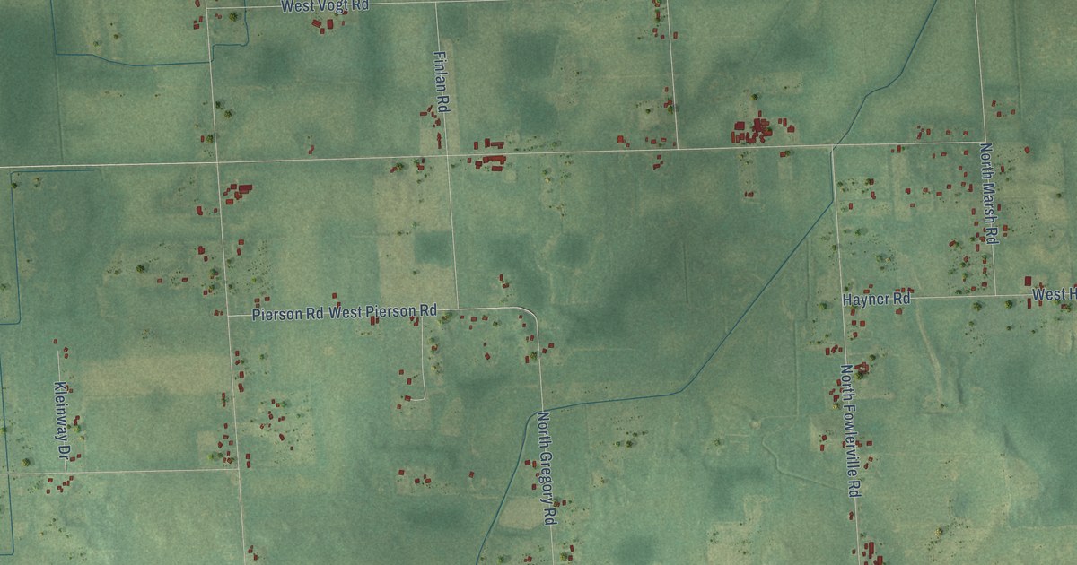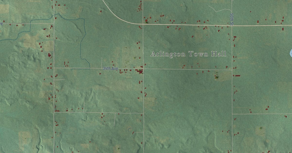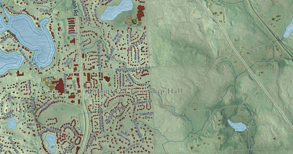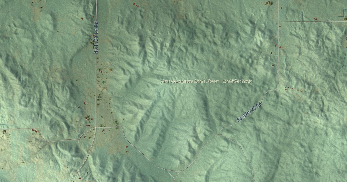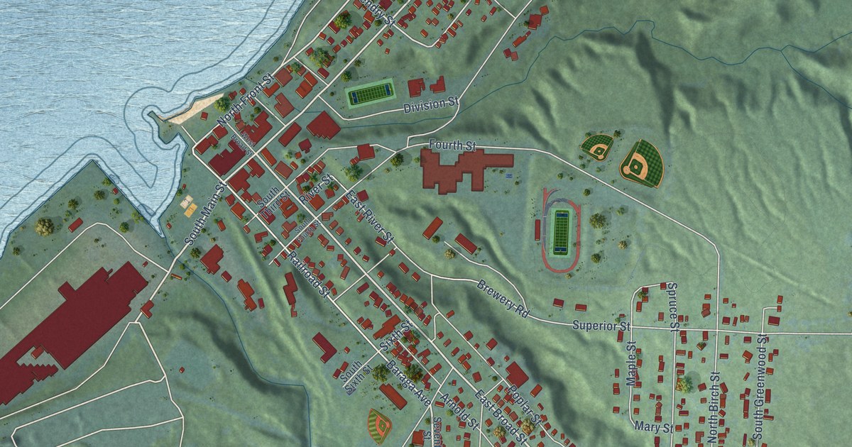
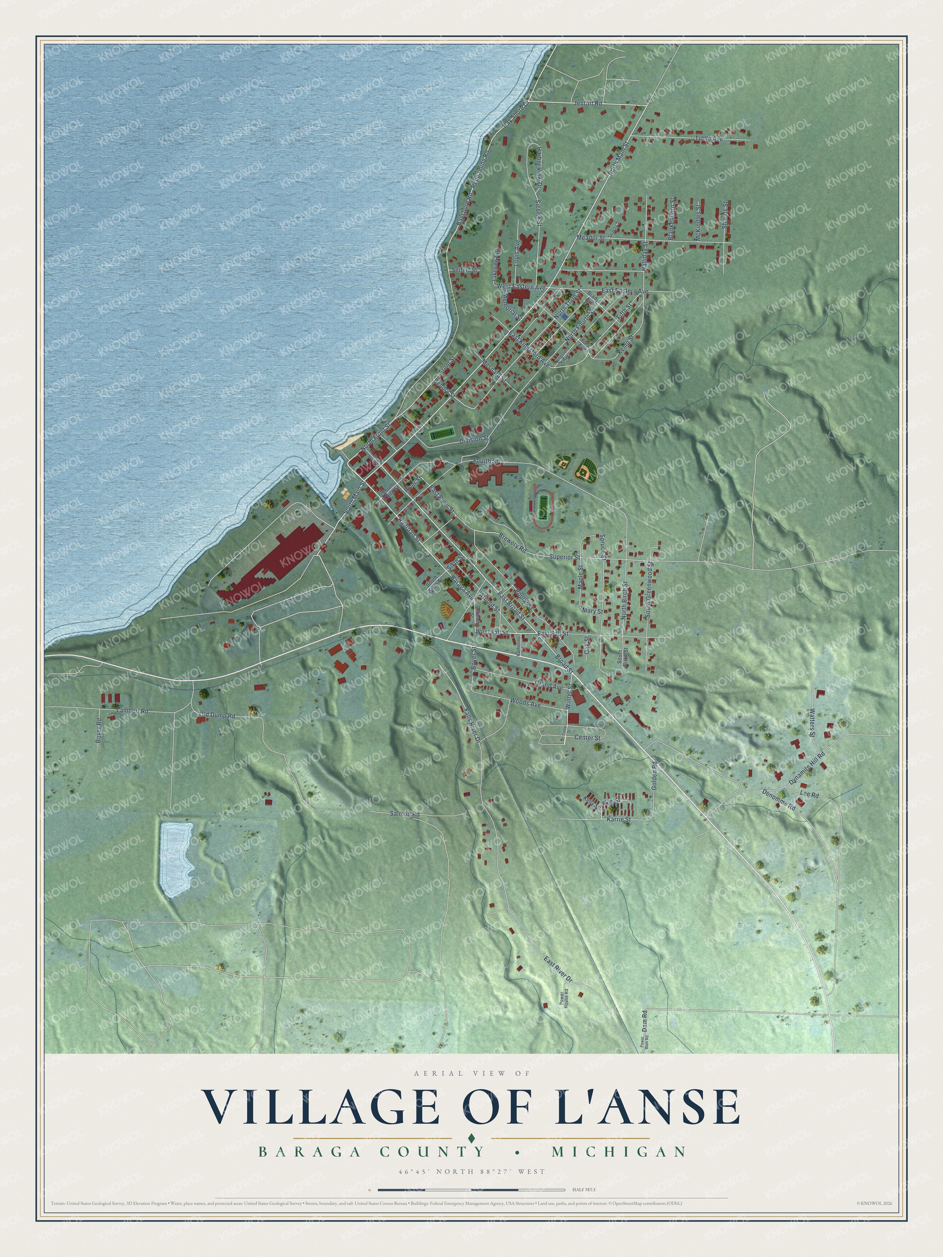
This beautifully detailed map of L'Anse, Michigan was created in 2026 using aerial imagery combined with modern topographical, census, street and landmark data. It's a modern aerial view of L'Anse in Baraga County, Michigan, that combines modern data with a vintage aesthetic. The roads feature printed names, and if you look closely you can find your exact house accurately shown in its correct location.
Explore an aerial view of L'Anse, Michigan
On this map you'll find East Broad Street, South Main Street, West Fall Street, North Main Street, Jentoft Road, Railroad Street, North Front Street, Broad Street, Winter Street, Bendry Street, North Third Street, Bayshore Road, and more. Each red shape is a building, so zoom in on the preview and look for yours.
Here is a piece of L'Anse history, in the words of the record. The History of the Upper Peninsula of Michigan puts it this way: "The Catholic Church in L'Anse was founded in 1874 by Rev. George Terhaust."
L'Anse is a village in Baraga County. The Census Bureau counted 1,874 people here in 2020.
Take a closer look at the L'Anse map
Names on this map
These names are printed on this map.
Streets and roads: East Broad Street, South Main Street, West Fall Street, North Main Street, Jentoft Road, Railroad Street, North Front Street, Broad Street, Winter Street, Bendry Street, North Third Street, Bayshore Road.
More street names, A to Z
Arnold Street, Baraga Avenue, Bay Shore Drive, Blankenhorn Street, Boyer Road, Boyer Street, Brady Avenue, Brewery Road, Cedar Street, Center Street, Dam Road, Denomme Road, Division Street, Dynamite Hill Road, East Eastern Avenue, East Fall Street, East Kingsford Avenue, East River Drive, East River Street, Falls River Drive, Fifth Street, Ford Avenue, Fourth Street, Front Street, Golden Road, Grand Avenue, Halliday Street, Harbor View Drive, Karrie Street, Katherine Street, Kelly Street, Kemp Street, Kim Street, Kingsford Avenue, Lakeside Avenue, Lambert Road, Lee Road, Louis Avenue, Maple Street, Mary Street, McKindles Street, Meador Street, Memorial Street, Mesnard Street, North Birch Street, North Fourth Street, Oak Street, Old Dump Road, Pequaming Road, Poplar Street, Power Dam Road, Power House Road, River Street, Salmon Road, Seavoy Street, Seifert Street, Seventh Street, Shields Street, Sicotte Street, Sixth Street, South Birch Street, South Fourth Street, South Greenwood Street, South Sixth Street, South Third Street, Spruce Street, Superior Street, Tuttle Avenue, Watters Street, West Broad Street, West Eastern Avenue, Woods Avenue.
Created by KNOWOL in 2026. The buildings are small red shapes, the roads carry their printed names, and shaded relief shows the shape of the land. The title panel reads "AERIAL VIEW OF VILLAGE OF L'ANSE, BARAGA COUNTY • MICHIGAN" with 46°45' NORTH 88°27' WEST.
It suits a den, a classroom or a front hall, and it makes a gift for anyone with L'Anse roots. Open the preview and find the block you know. See sizes and frames for the L’Anse map.