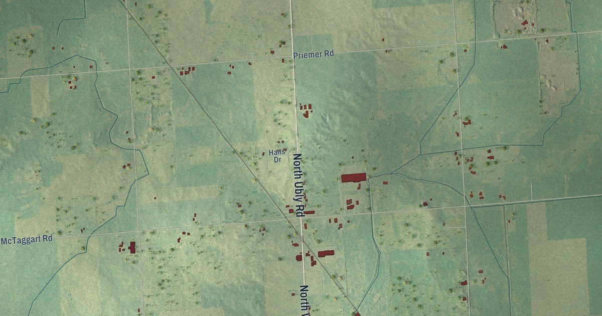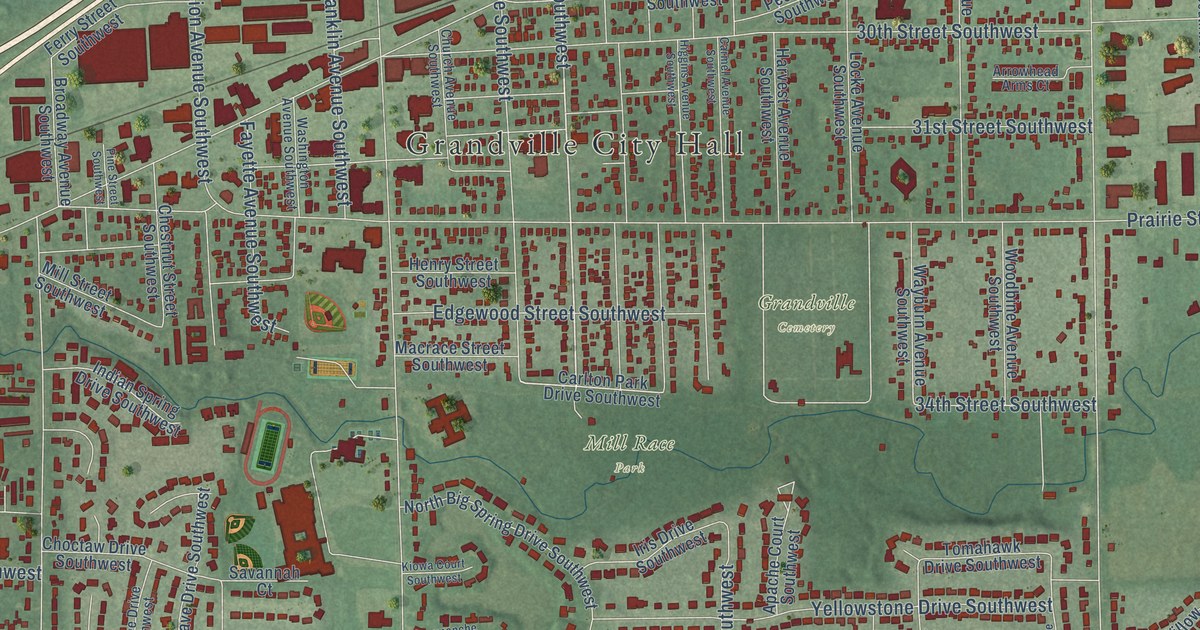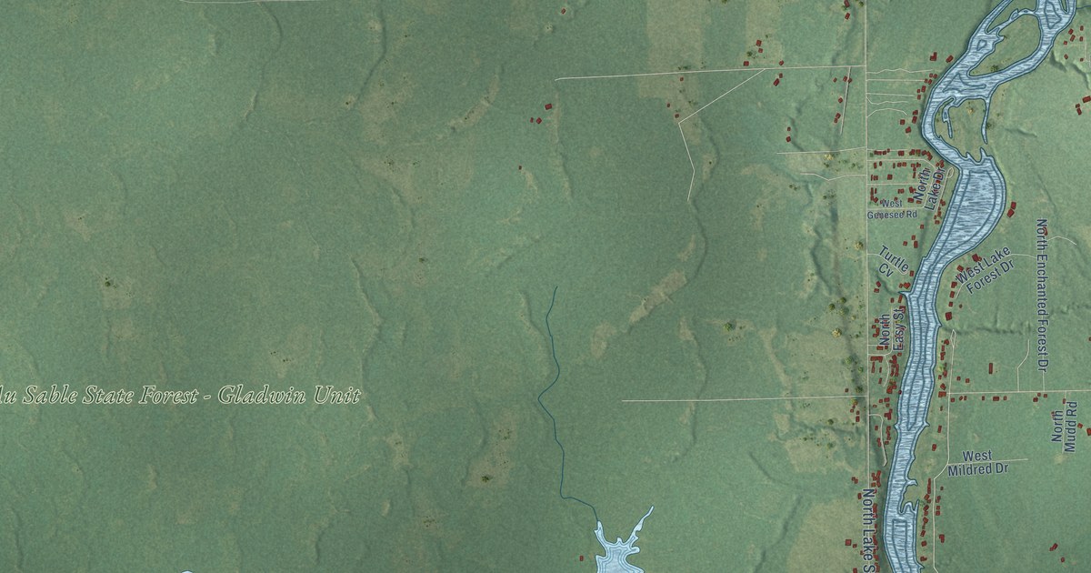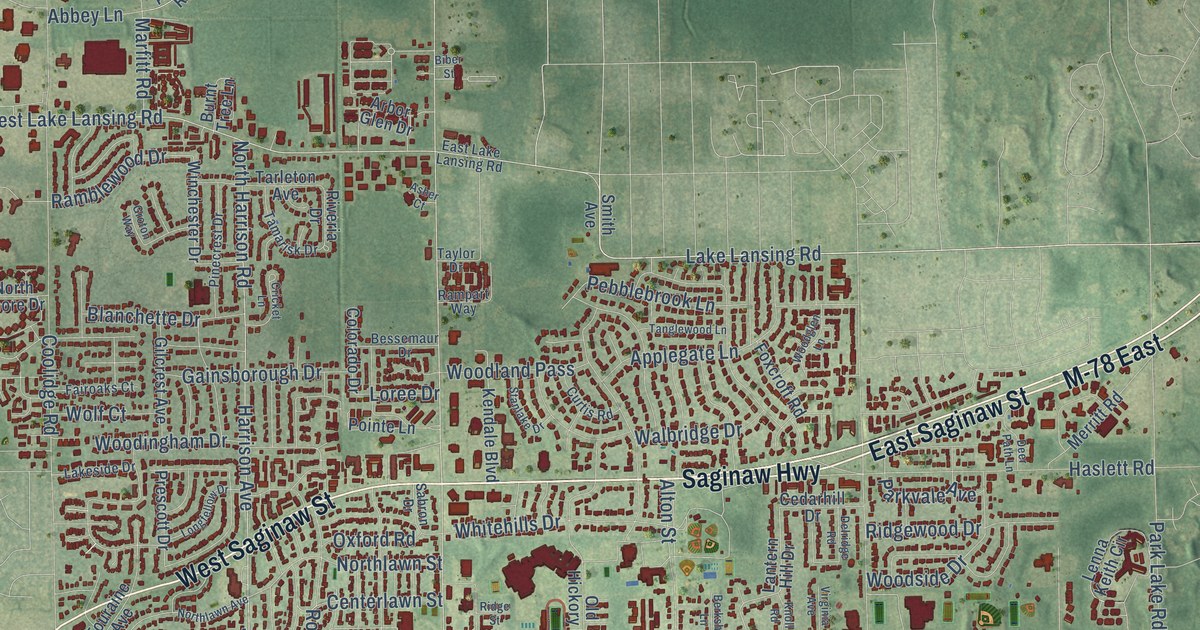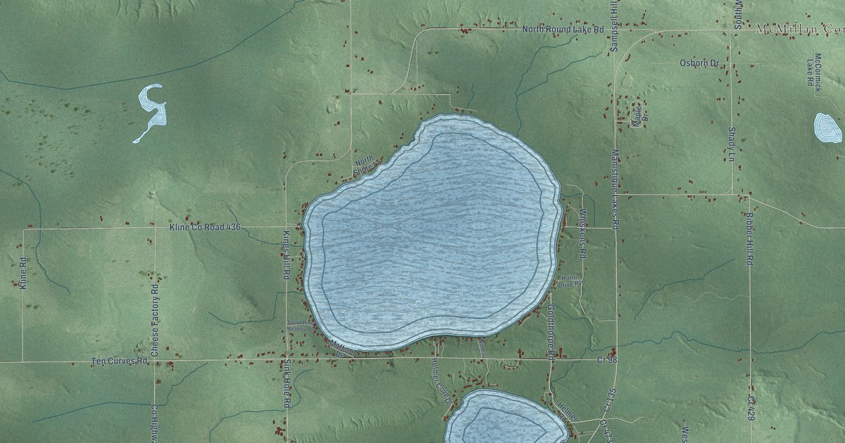
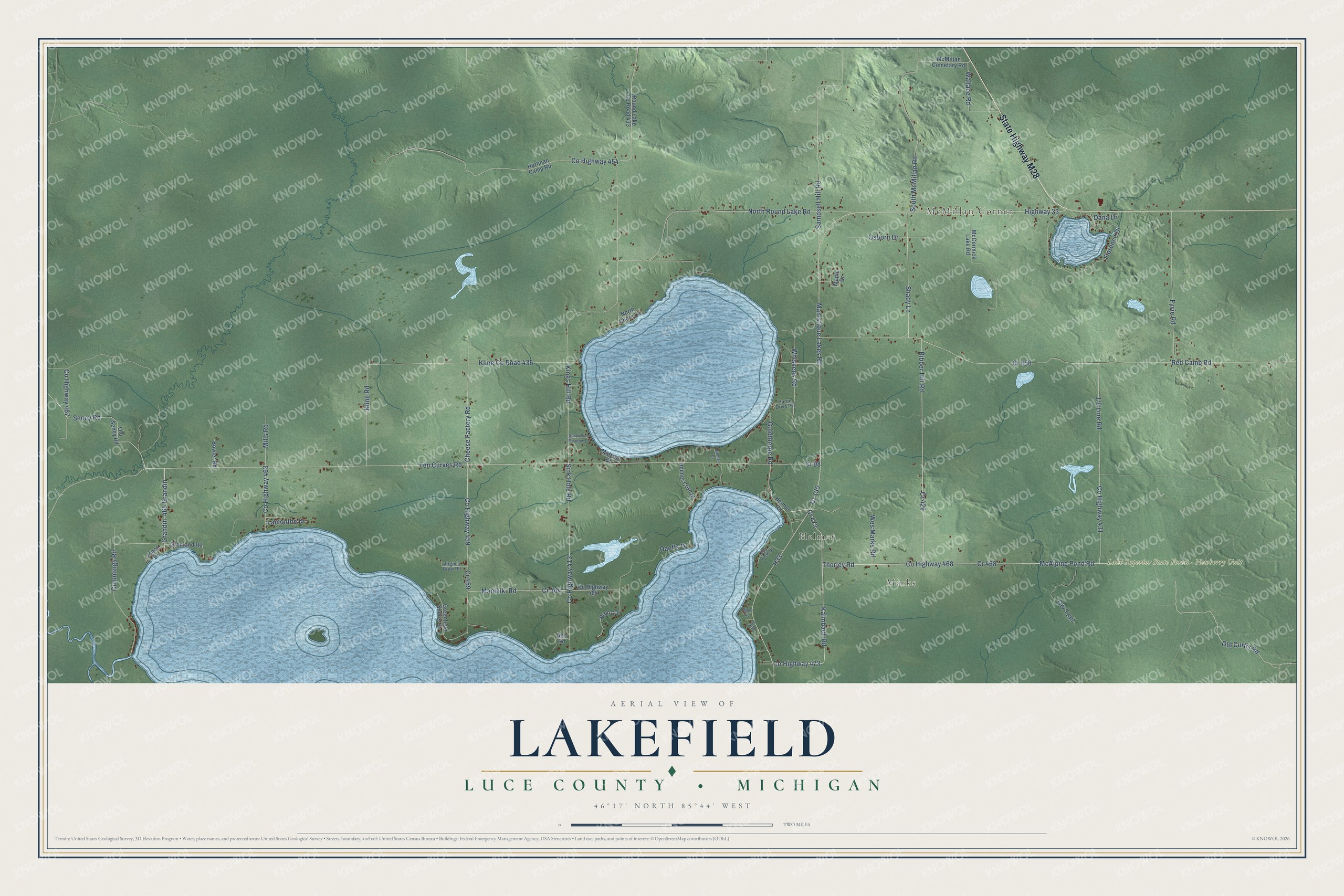
This beautifully detailed map of Lakefield, Michigan was created in 2026 using aerial imagery combined with modern topographical, census, street and landmark data. It's a modern aerial view of Lakefield in Luce County, Michigan, that combines modern data with a vintage aesthetic. The roads feature printed names, and if you look closely you can find your exact house accurately shown in its correct location.
Explore an aerial view of Lakefield, Michigan
On this map you'll find McMillan Corner, Marks, Helmer, Lake Superior State Forest – Newberry Unit, State Highway M28, Co Highway 473, Kalmbach Road, McAlpine Pond Road, Thorley Road, Co Highway 468, Shady Lane, Manistique Lakes Road, and more. Each red shape is a building, so zoom in on the preview and look for yours.
Every town has a first chapter, and Lakefield is no exception. The record at arcgis.com puts it this way: "Erected in 1881-82 this two-and-a-half-story structure was built as a mission house and manse by Newberry’s Presbyterian church."
The Census Bureau counted 1,135 people here in 2020.
Take a closer look at the Lakefield map
Names on this map
These names are printed on this map.
Places: McMillan Corner, Marks, Helmer and Lake Superior State Forest - Newberry Unit.
Streets and roads: State Highway M28, County Highway 473, Kalmbach Road, Cr 473, McAlpine Pond Road, Thorley Road, County Highway 468, Shady Lane, Manistique Lakes Road, Goldthorpe Road, Highway 33, Old Curtis Road.
More street names, A to Z
465 Grandin, Ann Road, Bay View Drive, Bibber Hill Road, Bowler Road, Bronz Drive, Cheese Factory Road, County Highway 413, County Highway 431, County Highway 454, County Highway 459, County Highway 463, County Highway 464, County Highway 467, Cr 98, Cr 135, Cr 429, Cr 458, Cr 459, Cr 464, Cr 468, Cummings Road, Daeffs Drive, Dana Drive, Durga Road, Florence Drive, Fyvie Road, Grandin, Greenfield Shores Drive, Gronland Road, H33, Hartman Camp Road, Helmer Cove Drive, Helmer Road, Huron Drive Pvt, Jones Drive, Kings Hill Road, Kline County Road 436, Kline Road, Lamonthe Drive, Manikiki Road, Maple Drive, Mattson Drive, McCormick Lake Road, McMillan Cemetary Road, Miller Road, Mills Road, Nadeau Drive, North Round Lake Road, North Shore Lane, Old Seney Road, Orv Trail, Osborn Drive, Red Camp Road, Round Lake County Road 413, Sampsell Hill Road, Seney Road, Sink Hole Road, South McMillan Road, South Pine Meadow Drive, Ten Curves Road, Virginia Brow Road, Wallace Road, Wes Marks Road, Whiskens Road.
Created by KNOWOL in 2026. The buildings are small red shapes, the roads carry their printed names, and shaded relief shows the shape of the land. The title panel reads "AERIAL VIEW OF LAKEFIELD, LUCE COUNTY • MICHIGAN" with 46°17' NORTH 85°44' WEST.
Hang it in the hallway, the office or the cabin, or give it to someone who left Lakefield and still calls it home. Open the preview and look for a street you know. See sizes and frames for the Lakefield, Luce County map.