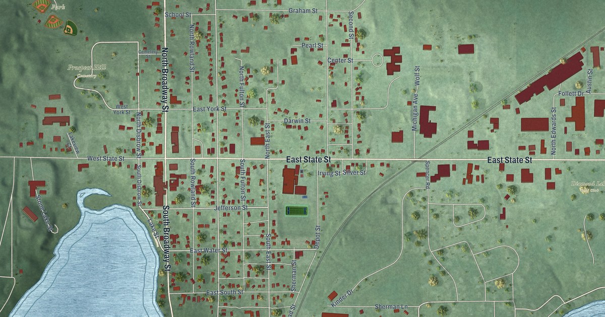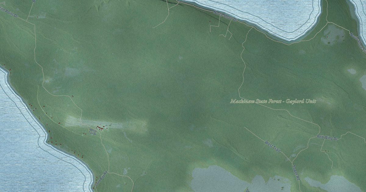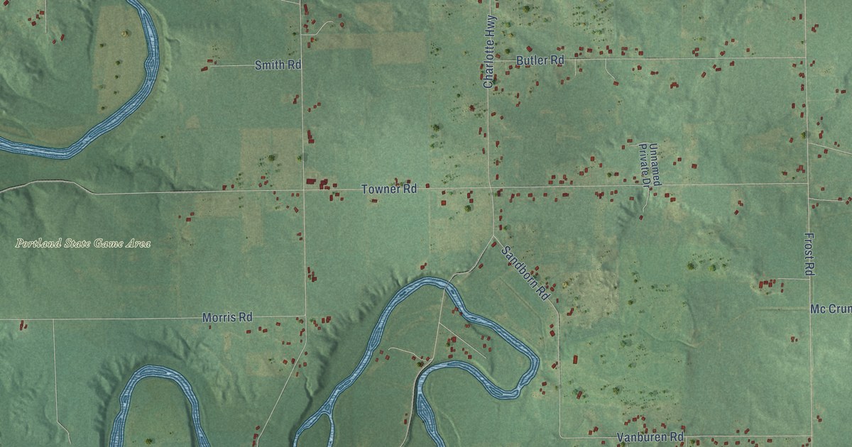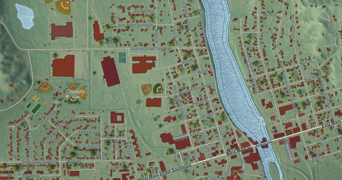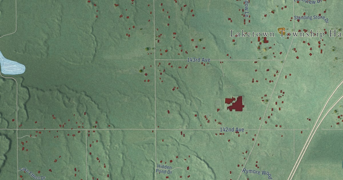
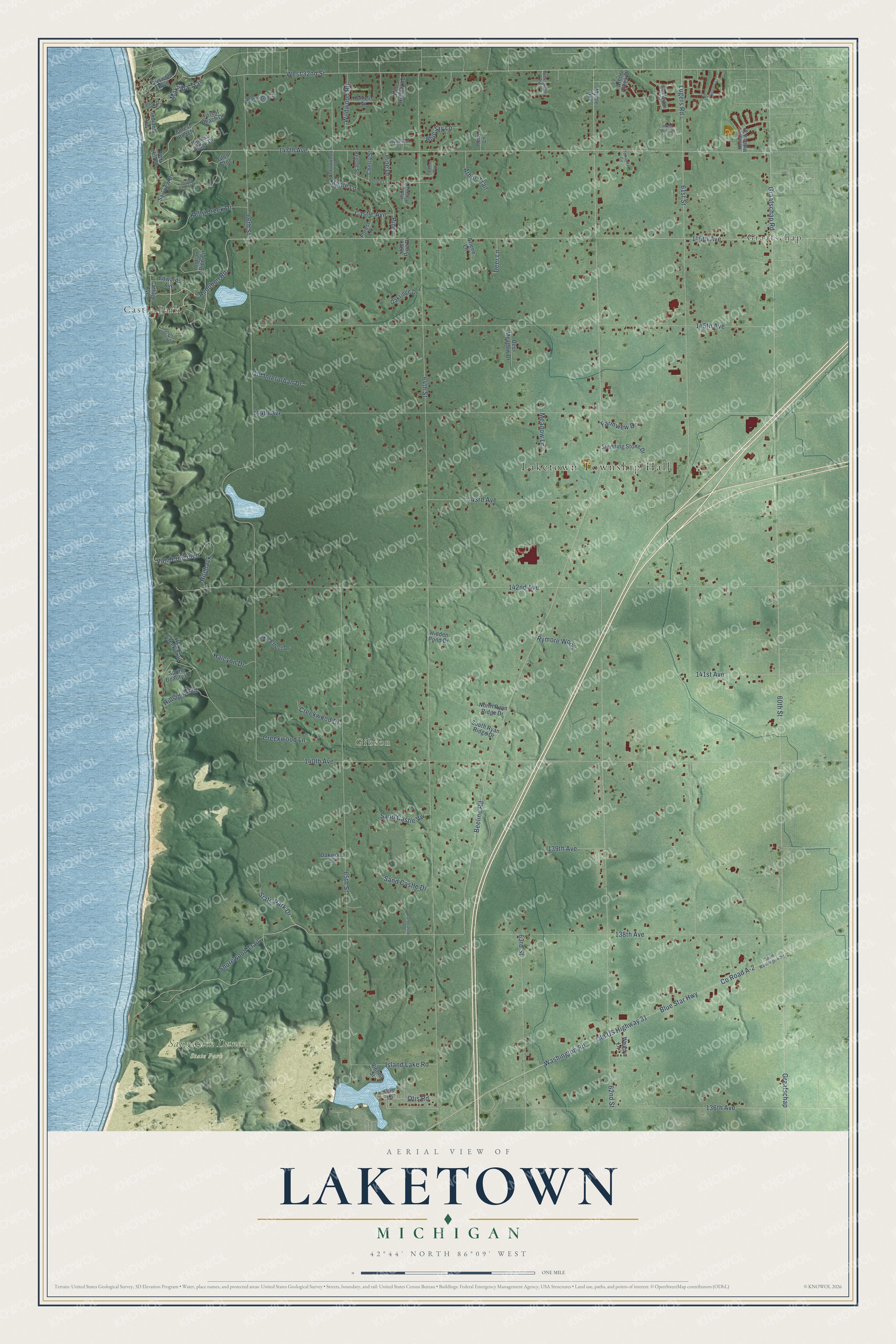
This beautifully detailed map of Laketown, Michigan was created in 2026 using aerial imagery combined with modern topographical, census, street and landmark data. It's a modern aerial view of Laketown in Allegan County, Michigan, that combines modern data with a vintage aesthetic. The roads feature printed names, and if you look closely you can find your exact house accurately shown in its correct location.
Explore an aerial view of Laketown, Michigan
On this map you'll find Laketown Township Hall, Castle Park, Gibson, Saugatuck Dunes State Park, Graafschap, 138th Avenue, Audubon Road, State Park Drive, 147th Avenue, 146th Avenue, Beeline Road, Maksaba Trail, and more. Each red shape is a building, so zoom in on the preview and look for yours.
Every town has a first chapter, and Laketown is no exception. The History of Allegan and Barry Counties puts it this way: "The first saw-mill Laketown boasted was built on section 35 by John and Nicholas Sutton."
The Census Bureau counted 5,928 people here in 2020.
Take a closer look at the Laketown map
Names on this map
These names are printed on this map.
Places: Laketown Township Hall, Castle Park, Gibson, Saugatuck Dunes State Park and Graafschap.
Streets and roads: 138th Avenue, Audubon Road, State Park Drive, 147th Avenue, 146th Avenue, Beeline Road, Maksaba Trail, 62nd Street, Vandermeulen, 64th Street, 60th Street, 66th Street.
More street names, A to Z
61st Street, 63rd Street, 65th Street, 136th Avenue, 139th Avenue, 140th Avenue, 141st Avenue, 142nd Avenue, 143rd Avenue, 144th Avenue, 145th Avenue, Arbor Creek Drive, Arbor Trail, Arlene Lane, Beech Street, Blue Jay Lane, Blue Star Highway, Castle Avenue, Cherry Street, Clarewood Court, Copperleaf Court, Cottage Avenue, Cottonwood Drive, County Road A-2, Creekridge Drive, Creekwood Drive, Creekwood Lane, Crestwood Avenue, Deer Lane, Deer Meadow Drive, Edwards Avenue, Farmview Drive, Forest Beach, Forest Beach Drive, Forest Lane, Forest Ridge Drive, Fox Hill Lane, Glen Cree, Graafschap Road, Griswold Avenue, Halcyon Drive, Heritage Meadow Drive, Heron Creek Trail, Hidden Hollow Lane, Hidden Pond Drive, Hillside Trail, Hogback, Hunters Street, Indiana Avenue, Indian Pipe Circle, Island Lake Road, Jack Pine Drive, Kelly Creek Drive, Lake Effect Drive, Lugers Road, Maple Lane, Meadow Lane, Myrtle Avenue, North Ryan Ridge Drive, Oakridge Drive, Oakwood Lane, Old Interurban Drive, Old US Highway 31, Otis Lane, Otis Road, Partridge Place, Pine, Pine Drive, Pine Hollow Road, Pony Lane, Reserve Way, Rymore Wood, Sailview Drive, Sand Castle Drive, Sandcastle Lane, Sand Castle Vw, Scenic Shores Drive, Shorewood Trail, South Cherry Street, South Ryan Ridge Drive, South Washington Road, Spring Beauty Lane, Spruce Lane, Standing Stone Drive, Terravita Circle, Valley Drive, Vienna Street, Washington Road, Wendy Lane, West 32nd Street, West Wind Drive, Wildwood Road.
Created by KNOWOL in 2026. The buildings are small red shapes, the roads carry their printed names, and shaded relief shows the shape of the land. The title panel reads "AERIAL VIEW OF LAKETOWN, MICHIGAN" with 42°44' NORTH 86°09' WEST.
Hang it in the hallway, the office or the cabin, or give it to someone who left Laketown and still calls it home. Open the preview and look for a street you know. See sizes and frames for the Laketown map.