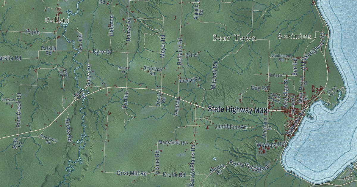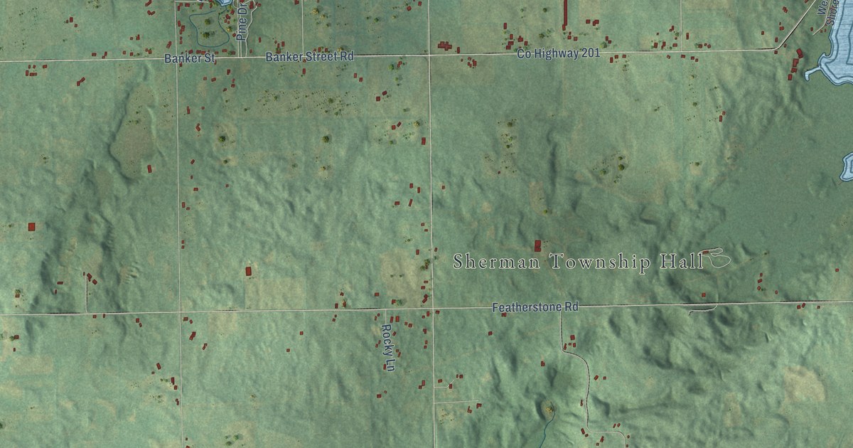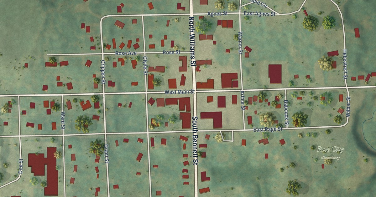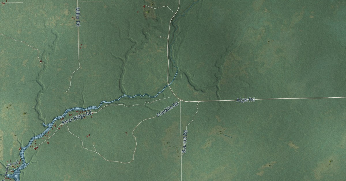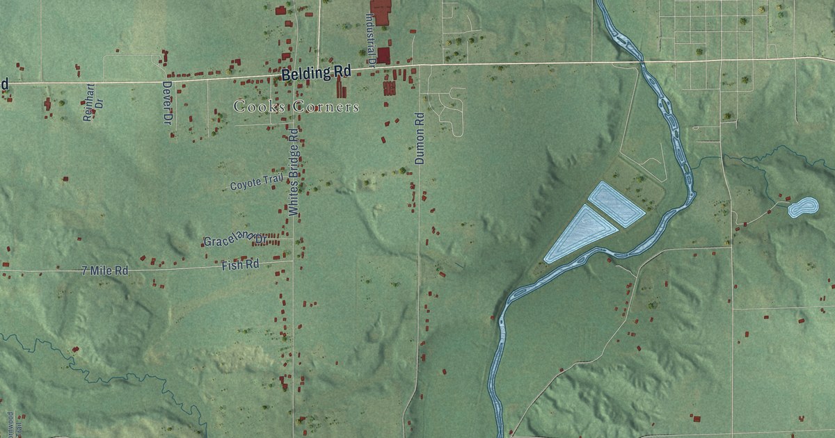
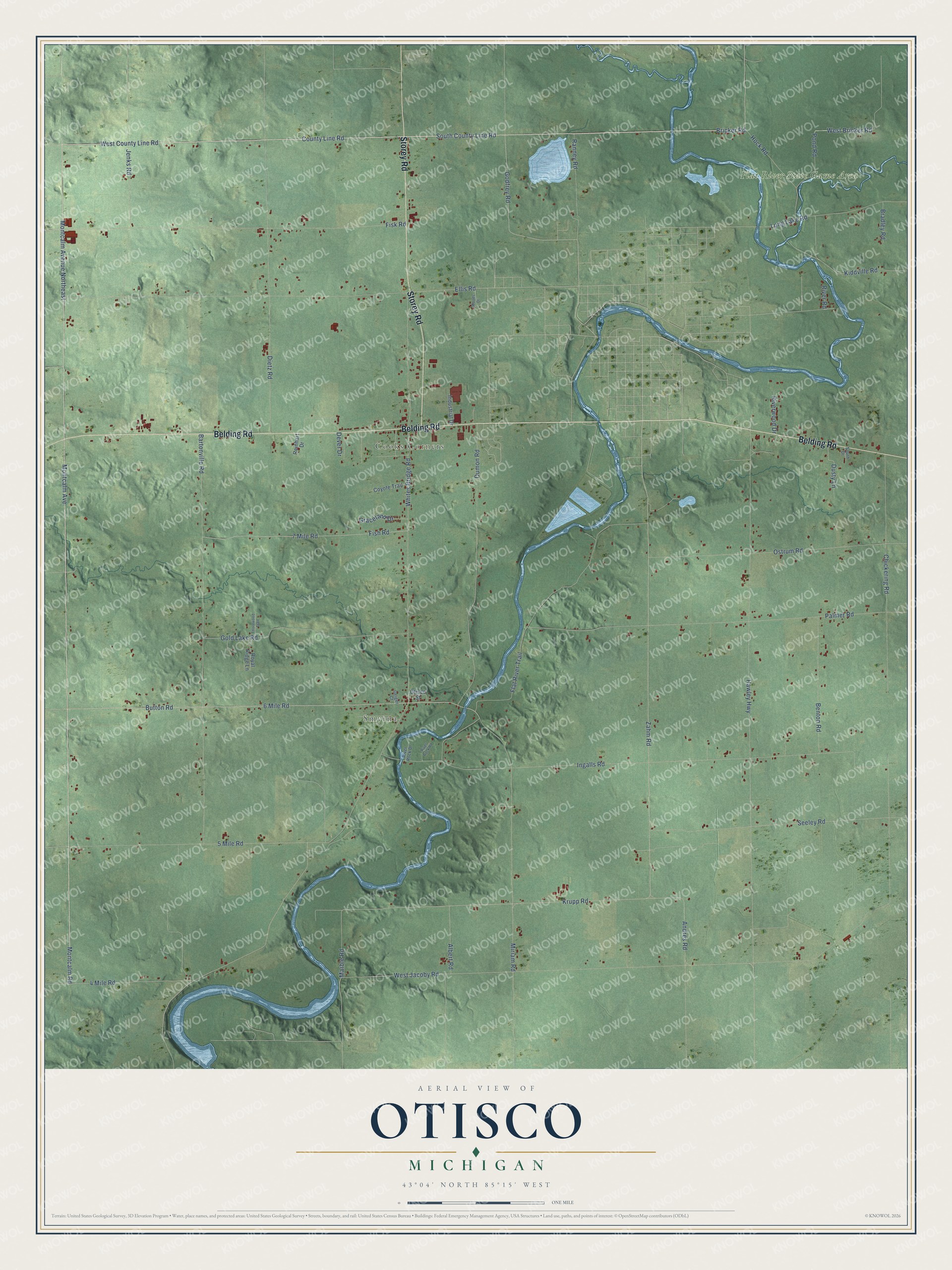
This beautifully detailed map of Otisco, Michigan was created in 2026 using aerial imagery combined with modern topographical, census, street and landmark data. It's a modern aerial view of Otisco in Ionia County, Michigan, that combines modern data with a vintage aesthetic. The roads feature printed names, and if you look closely you can find your exact house accurately shown in its correct location.
Explore an aerial view of Otisco, Michigan
On this map you'll find Smyrna, Cooks Corners, Flat River State Game Area, Belding Road, Storey Road, Montcalm Avenue, Montcalm Avenue Northeast, Montcalm Road, Bricker Road, South County Line Road, County Line Road, West County Line Road, and more. Each red shape is a building, so zoom in on the preview and look for yours.
Otisco has a story worth telling. The History of Ionia and Montcalm Counties puts it this way: "The First Baptist Church of Otisco was organized some time previous to 1852 at Cook's Corners, where in the year named a house of worship was erected. The edifice was dedicated by Elder Prescott, then the pastor of the church."
The Census Bureau counted 2,268 people here in 2020.
Take a closer look at the Otisco map
Names on this map
These names are printed on this map.
Places: Smyrna, Cooks Corners and Flat River State Game Area.
Streets and roads: Belding Road, Storey Road, Montcalm Avenue, Montcalm Avenue Northeast, Montcalm Road, Bricker Road, South County Line Road, County Line Road, West County Line Road, Godfrey Road, Zahm Road, 6 Mile Road.
More street names, A to Z
4 Mile Road, 5 Mile Road, 7 Mile Road, Albert Road, Andres Road, Bartonville Road, Benton Road, Bradley Road, Button Road, Chickering Road, Coyote Trail, Dever Drive, Dietz Road, Dumon Road, Dusty Lane, Ellis Road, Fish Road, Fisk Road, Flat River Trail, Geiger Court, Gold Lake Road, Graceland Drive, Hawley Highway, Hock Road, Industrial Drive, Ingalls Road, Jenks Road, Kiddville Road, Krupp Road, Long Lake Road, Marble Road, Miriam Road, Ostrum Road, Otisco Street, Palmer Road, Pond Road, Ranney Road, Reinhart Drive, River Road, River Rock Drive, River Rock Road, Riverwood Drive, Royal Ridge Lane, Seeley Road, South Drive, Thornwood Trail, West Bricker Road, West Jacoby Road, Whites Bridge Road, Woods Drive.
Created by KNOWOL in 2026. The buildings are small red shapes, the roads carry their printed names, and shaded relief shows the shape of the land. The title panel reads "AERIAL VIEW OF OTISCO, MICHIGAN" with 43°04' NORTH 85°15' WEST.
It looks right in a kitchen, an office or a den, and it's a gift for anyone who grew up in Otisco or moved away. Open the preview and find your street. See sizes and frames for the Otisco map.