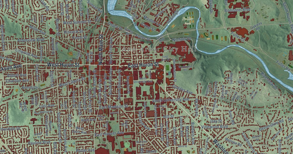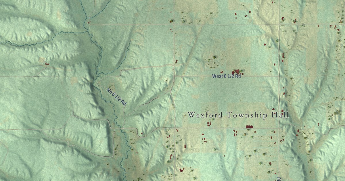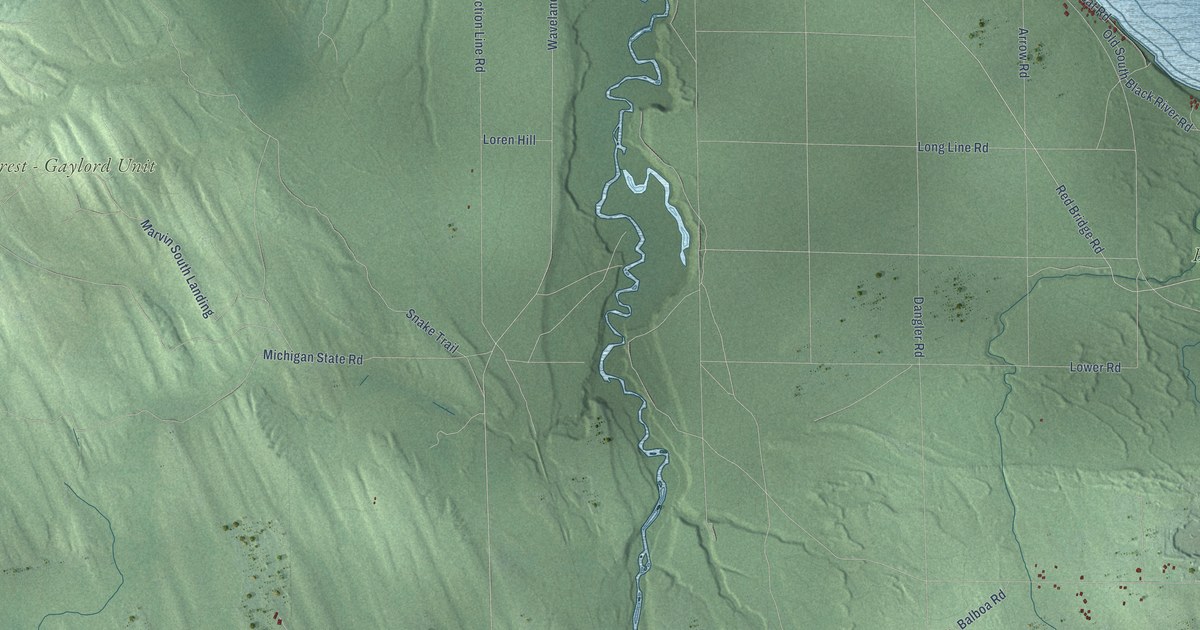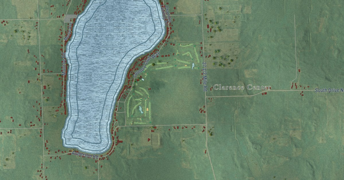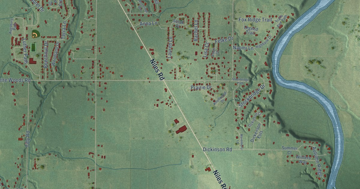
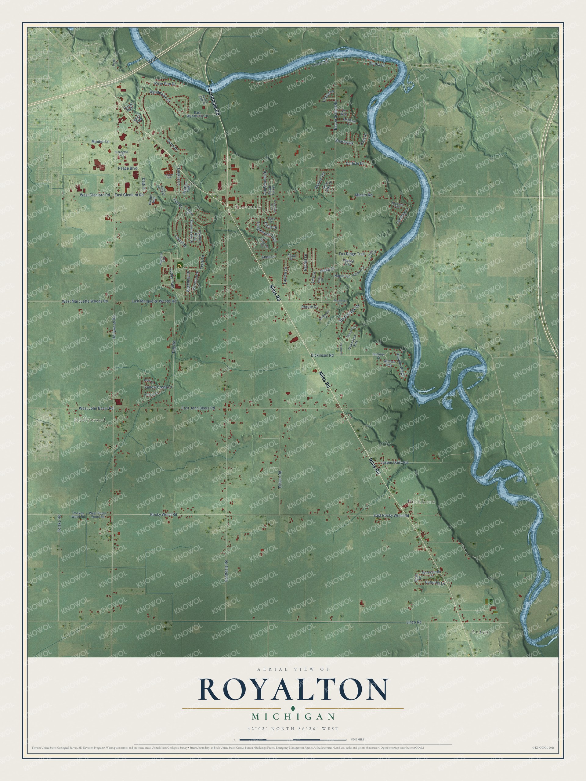
This beautifully detailed map of Royalton, Michigan was created in 2026 using aerial imagery combined with modern topographical, census, street and landmark data. It's a modern aerial view of Royalton in Berrien County, Michigan, that combines modern data with a vintage aesthetic. The roads feature printed names, and if you look closely you can find your exact house accurately shown in its correct location.
Explore an aerial view of Royalton, Michigan
On this map you'll find Arden, Buckhorn, Hollywood, Scottdale, Scottdale Road, Niles Road, East Glenlord Road, Stockbridge Drive, East Marquette Woods Road, Hollywood Road, Linco Road, Rocky Weed Road, and more. Each red shape is a building, so zoom in on the preview and look for yours.
Every town has a first chapter, and Royalton is no exception. The Twentieth Century History of Berrien County puts it this way: "The first settler of Oronoko was the first settler of Royalton. This was John Pike, who was a native of North Carolina and who settled on Wolf's Prairie (Berrien Springs) in 1829."
The Census Bureau counted 5,141 people here in 2020.
Take a closer look at the Royalton map
Names on this map
These names are printed on this map.
Places: Arden, Buckhorn, Hollywood, Scottdale and Stonegate Park.
Streets and roads: Scottdale Road, Niles Road, East Glenlord Road, Stockbridge Drive, East Marquette Woods Road, Hollywood Road, Linco Road, Rocky Weed Road, East Rocky Weed Road, East John Beers Road, Bacon School Road, Miners Road.
More street names, A to Z
Anna Lane, Apple Acre Path, Applewood Drive, Augsburg Path, Autumn Ridge, Beechnut Drive, Boardwalk, Butterfly Lane, Carlisle Drive, Circle Drive, Deja Drive, Derfla Drive, Derry Drive, Dickenson Ests, Dickinson Court, Dickinson Road, Dobie Drive, Dozer Drive, East Wyndwicke Drive, Eidson Road, Fetke Drive, Fox Ridge Trail, Foxtail Path, Hart Drive, Hawkins Path, Hidden Path, Highbank Drive, Honeysuckle Lane, Jasper Dairy Road, Jw Way, Knollwood Drive, Landing Lane, Laukus Lane, Laurel Drive, Lauren Lane, Legend Trail, Linden Drive, Lisa Court, Lorraine Path, Louise Lane, Luther Path, Maiden Lane, Mandiberry Lane, Matthew Court, Moccasin Path, Naomi Lane, Niles Path, Park Place, Peace Boulevard, Plum Creek Lane, Prairie Drive, Rachel Lane, Rainbow Drive, Ravina Terrace, River's Edge Drive, River Run Drive, Robin Court, Rockey Weed Road, Rose Lane, Royal Curve, Silver Oaks Drive, Solak Court, South Royal Curve, Stockbridge Path, Summer Court, Sunnymeade Drive, Tanglewood Trail, Terra Lane, Tilly Road, Torrance Drive, Totzke Road, Trails End Path, Vince Court, West Glenlord Road, West John Beers Road, West Marquette Woods Road, West Rocky Weed Road, Winters Way, Woodland Drive, Woodridge Way, Wyndwicke Drive, Yellow Creek Drive.
Created by KNOWOL in 2026. The buildings are small red shapes, the roads carry their printed names, and shaded relief shows the shape of the land. The title panel reads "AERIAL VIEW OF ROYALTON, MICHIGAN" with 42°02' NORTH 86°26' WEST.
Hang it in the hallway, the office or the cabin, or give it to someone who left Royalton and still calls it home. Open the preview and look for a street you know. See sizes and frames for the Royalton map.