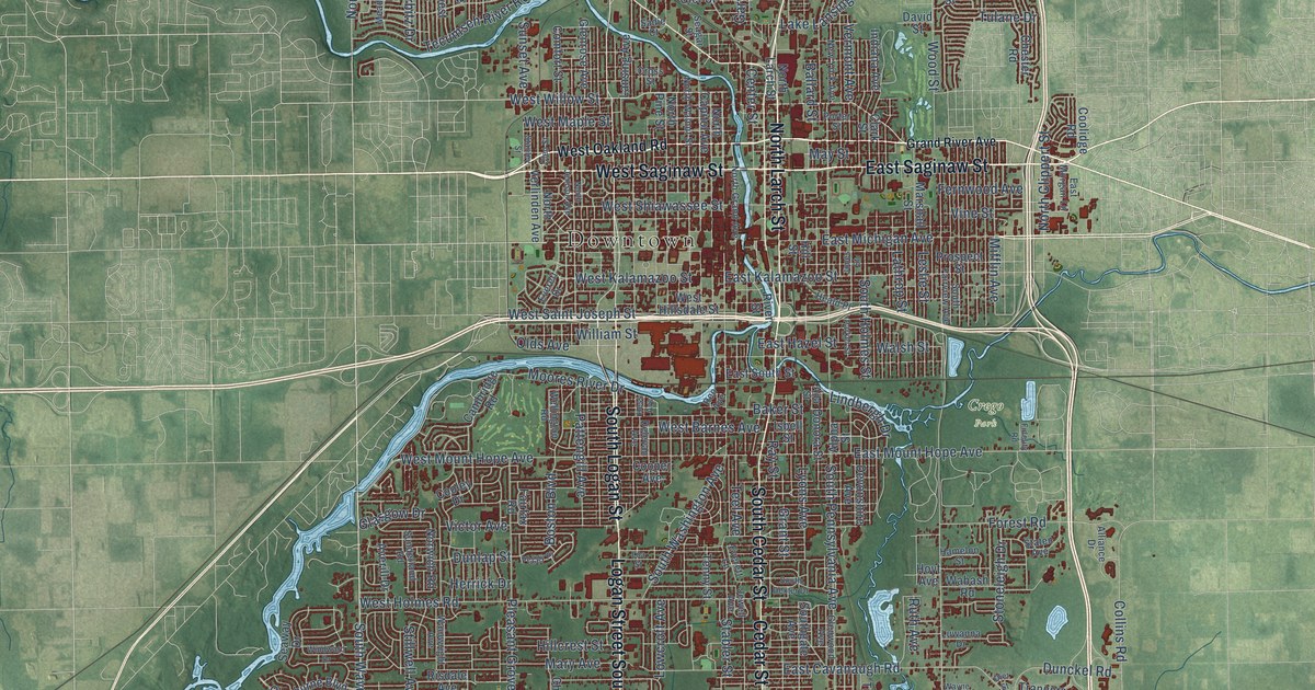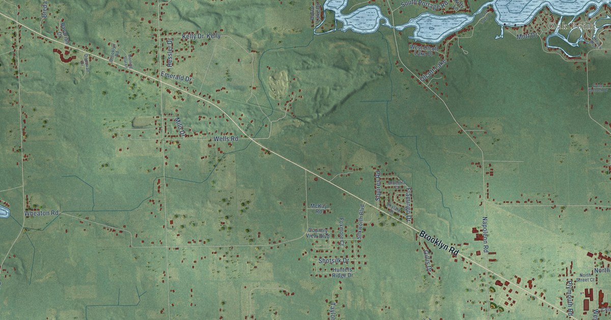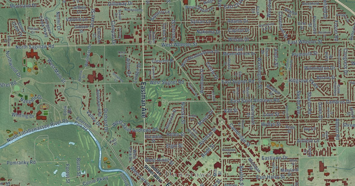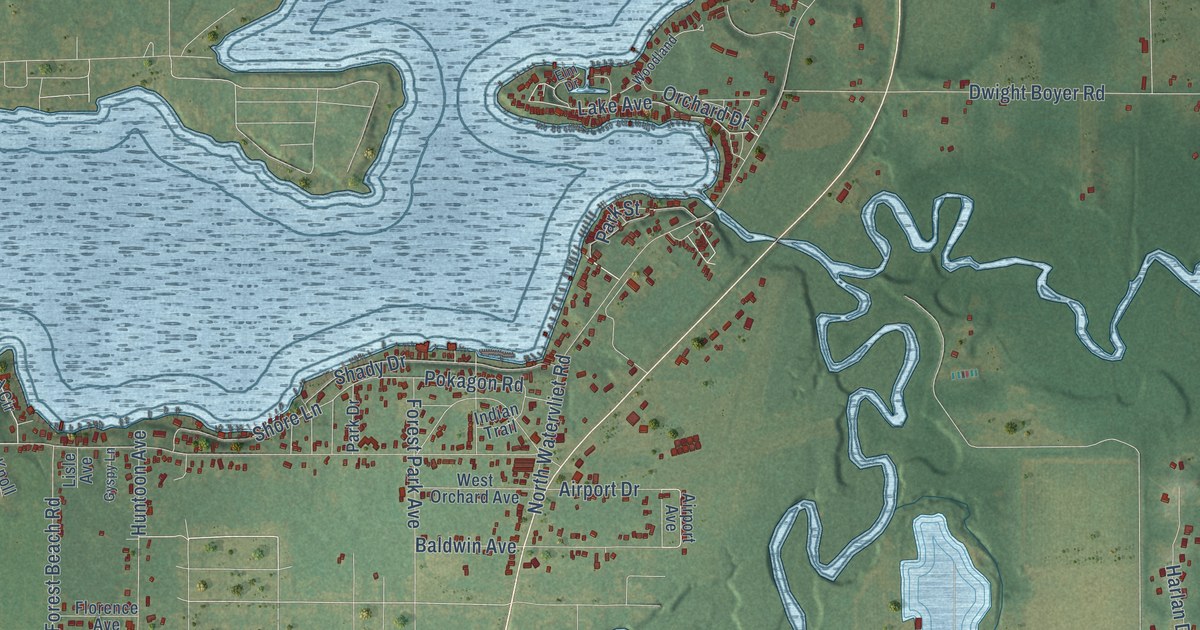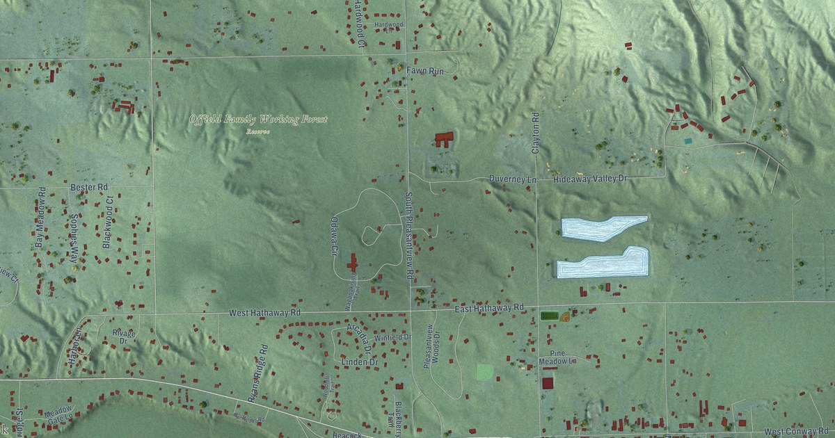
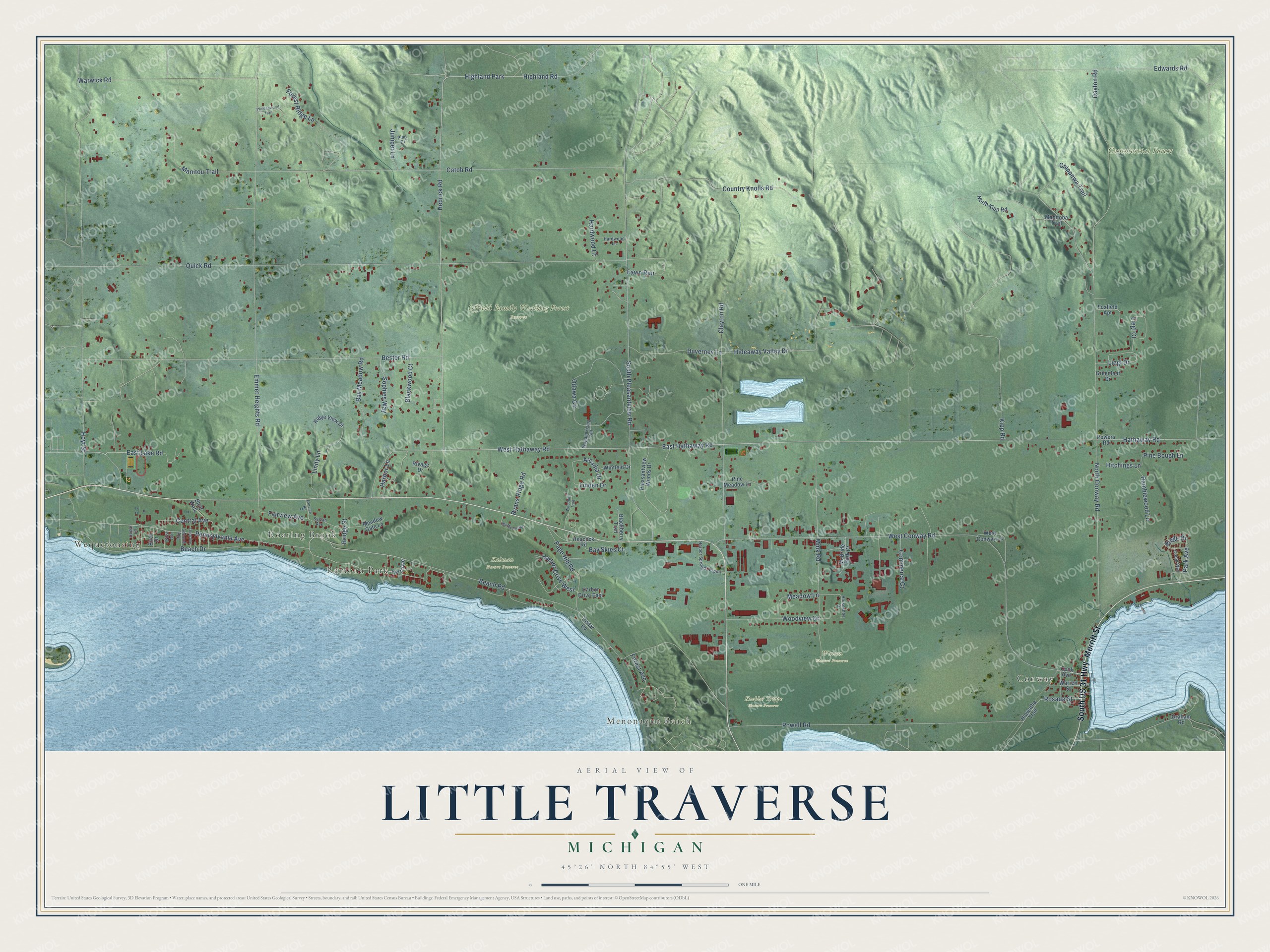
This beautifully detailed map of Little Traverse, Michigan was created in 2026 using aerial imagery combined with modern topographical, census, street and landmark data. It's a modern aerial view of Little Traverse in Emmet County, Michigan, that combines modern data with a vintage aesthetic. The roads feature printed names, and if you look closely you can find your exact house accurately shown in its correct location.
Explore an aerial view of Little Traverse, Michigan
On this map you'll find Conway, Wequetonsing, Ramona Park, Roaring Brook, Menonaqua Beach, Commercial Forest, Kalman Nature Preserve, Kuebler Trippe Nature Preserve, Offield Family Working Forest Reserve, Watson Nature Preserve, South US 31 Highway, Merritt Street, and more. Each red shape is a building, so zoom in on the preview and look for yours.
Here is a piece of Little Traverse history, in the words of the record. The Traverse Region puts it this way: "First a church was built at Middle Village, and in 1827 the mission was moved to Little Traverse. About this time a church was built at Cross Village."
The Census Bureau counted 2,657 people here in 2020.
Take a closer look at the Little Traverse map
Names on this map
These names are printed on this map.
Places: Conway, Wequetonsing, Ramona Park, Roaring Brook, Menonaqua Beach, Commercial Forest, Kalman Nature Preserve, Kuebler Trippe Nature Preserve, Offield Family Working Forest Reserve, Watson Nature Preserve, Highland Park and Harbor Springs Airport.
Streets and roads: South US 31 Highway, Merritt Street, Hedrick Road, West Hathaway Road, East Hathaway Road, East Lake Road, Park Avenue, Forest Avenue, Manitou Trail, Pennsylvania Avenue, Hideaway Valley Drive, Liegl Drive.
More street names, A to Z
Arcadia Drive, Bay Meadow Road, Bay Skies Court, Beach Drive, Beach Road, Bester Road, Birch Drive, Blackberry Trail, Blackwood Court, Bluff Walk, Bluffwood Road, Bridge Street, Catob Road, Cedar Cv, Cedar Lane, Central Avenue, Chippewa Trail, Clayton Road, Commerce Court, Cook Avenue, Country Knolls Road, Creek Way, Dayton Road, Duverney Lane, Edwards Road, Emmet Heights Road, Fairview Avenue, Fairview Road, Fawn Run, Fern Avenue, First Avenue, Forest Ridge Lane, Foxfield Apt, Graham Road, Greenleaf Drive, Harbor Drive East, Harbor Drive West, Harbor Lane, Hardwood Court, Hardwood Lane, Hathaway Road, Heacock Road, Hiawatha Trail, Highland Road, Hitchings Lane, Horseshoe Drive, Hoyt Street, Juniper Lane, Kipp Road, Liegl Court, Linden Drive, Lindy Lane, Manitoba Trail, McBride Park Court, Meadow Gate Lane, Meadow Lane, Mink Road, North Conway Road, North Kipp Road, Odawa Circle, Page Hill Road, Pine Bough Lane, Pine Drive, Pine Meadow Lane, Pleasantview Woods Drive, Powell Road, Powers Road, Quick Road, Ramblewood Lane, Ridge Drive, Ridge View Court, Rivage Drive, Rosada Street, Ryans Ridge Road, Second Avenue, Sophies Way, South Pleasantview Road, Sylvan Avenue, Third Avenue, Waganakising Trail, Waldenwood Trail, Warren Street, Warwick Road, West Conway Lane, West Conway Road, Winfield Drive, Woodloft Trail, Woodview Drive.
Created by KNOWOL in 2026. The buildings are small red shapes, the roads carry their printed names, and shaded relief shows the shape of the land. The title panel reads "AERIAL VIEW OF LITTLE TRAVERSE, MICHIGAN" with 45°26' NORTH 84°55' WEST.
It suits a den, a classroom or a front hall, and it makes a gift for anyone with Little Traverse roots. Open the preview and find the block you know. See sizes and frames for the Little Traverse map.