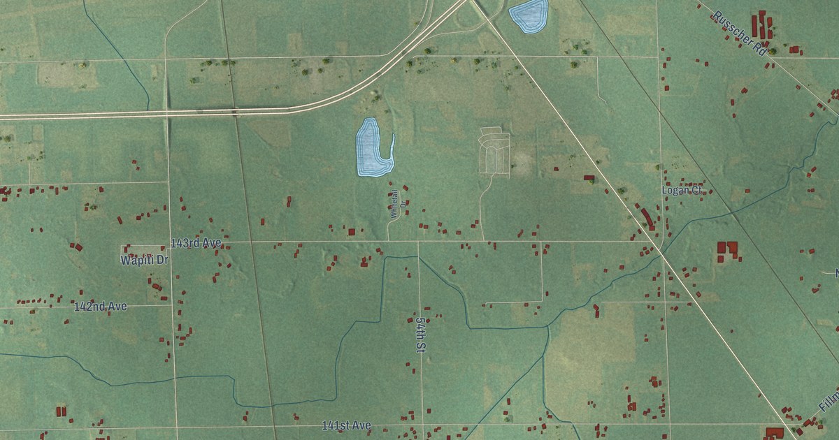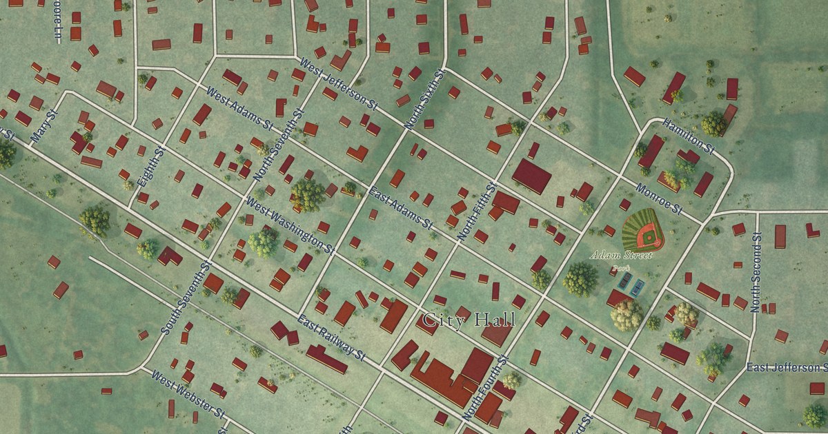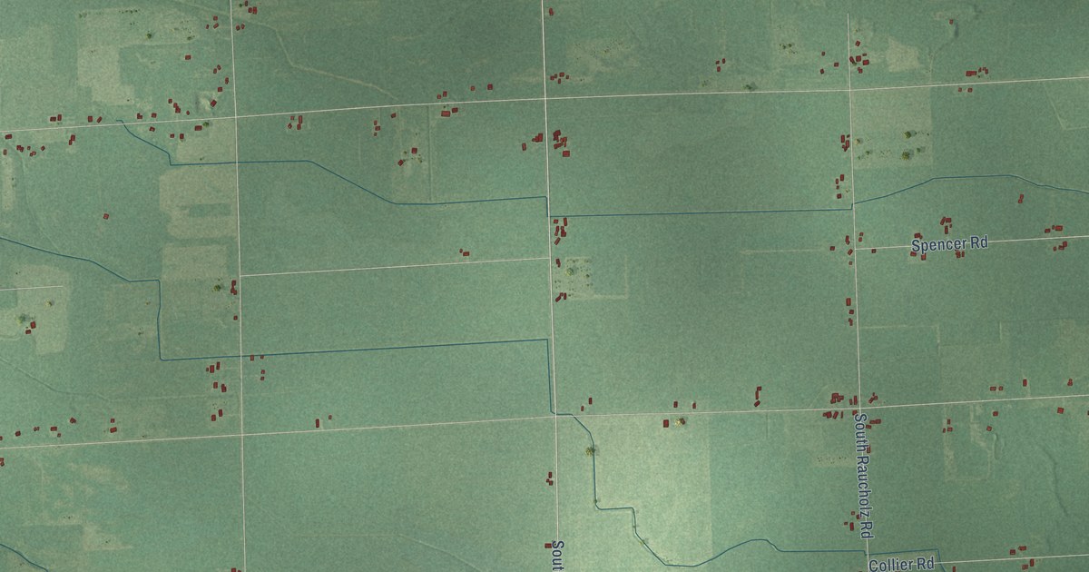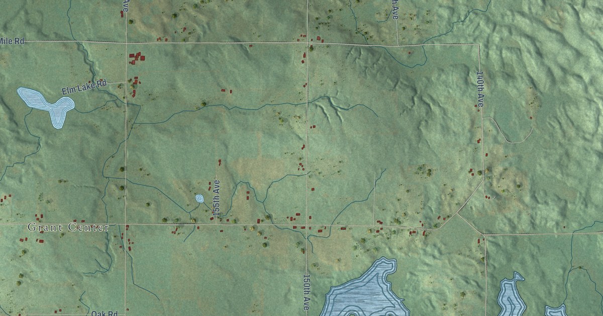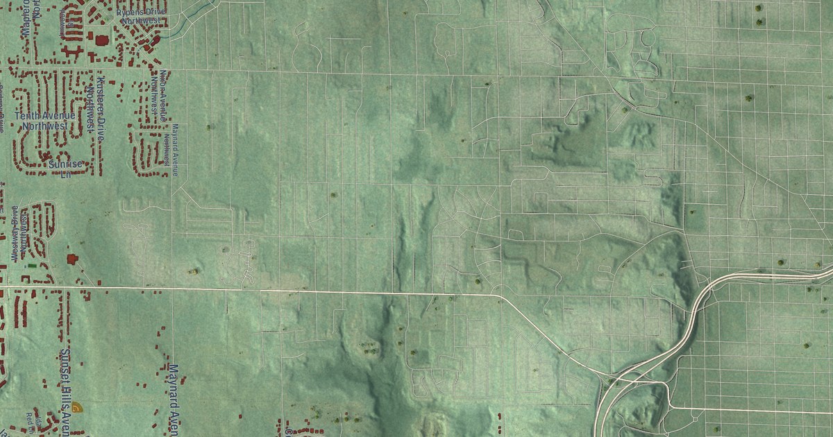
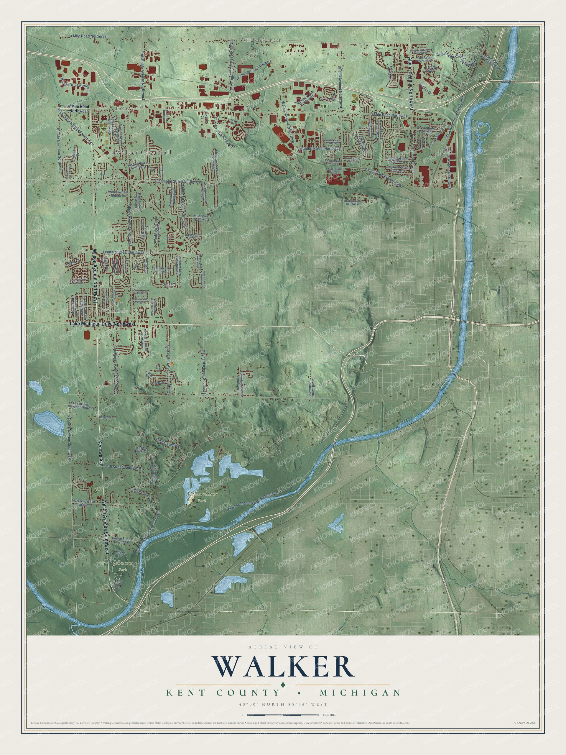
This beautifully detailed map of Walker, Michigan was created in 2026 using aerial imagery combined with modern topographical, census, street and landmark data. It's a modern aerial view of Walker in Kent County, Michigan, that combines modern data with a vintage aesthetic. The roads feature printed names, and if you look closely you can find your exact house accurately shown in its correct location.
Explore an aerial view of Walker, Michigan
On this map you'll find Walker City Hall, Wilder Center, Kinney, Standale, Johnson Park, Millennium Park, Lake Michigan Drive Northwest, Wilson Avenue Southwest, Wilson Avenue Northwest, Alpine Avenue Northwest, Kenowa Avenue, 3 Mile Road Northwest, and more. Each red shape is a building, so zoom in on the preview and look for yours.
Walker has a story worth telling. The History of Kent County puts it this way: "Joseph Bullen built a saw-mill on section 4, Walker, in 1845. A few years later a run of stone was placed therein and a small grist-mill added to the saw-mill."
Walker is a city in Kent County. The Census Bureau counted 25,132 people here in 2020.
Take a closer look at the Walker map
Names on this map
These names are printed on this map.
Places: Walker City Hall, Wilder Center, Kinney, Standale, Johnson Park and Millennium Park.
Streets and roads: Lake Michigan Drive Northwest, Wilson Avenue Southwest, Wilson Avenue Northwest, Alpine Avenue Northwest, Kenowa Avenue, 3 Mile Road Northwest, Leonard Street Northwest, Center Drive, 4 Mile Road Northwest, Butterworth Street Southwest, Kinney Avenue Northwest, Kenowa Avenue Southwest.
More street names, A to Z
Applegate Drive, Avery Drive, Awixa Avenue Northwest, Barrington Northwest, Bristol Avenue Northwest, Bristol Ridge Drive, Burton Street Southwest, Canyon Creek Drive, Cedar Ridge Drive, Cider Mill Trail Northwest, Cogswell Street Northwest, Collindale Avenue Southwest, Covell Avenue Southwest, Cummings Avenue Northwest, Cummings Avenue Southwest, Day Avenue Northwest, Deena Drive, Deerfield Street, Drakewood Lane, Dunlap Street Northwest, Edinboro Street Northwest, Elderwood Drive Northwest, Elmridge Drive Northwest, Erickson Court, Fennessey Street Southwest, Ferndale Avenue Northwest, Ferris Street Northwest, Fruit Ridge Avenue Northwest, Garfield Avenue Northwest, Greenridge Drive Northwest, Hall Street Southwest, Harding Street Northwest, Hillside Drive Northwest, Ida Red Lane, Ilium Lane, Ipswich Drive Northwest, Jason Avenue, Kenowa Avenue Northwest, Kingsbury Street Northwest, Kinnrow Court, Kinview Street Northwest, Kloet Street Northwest, Kusterer Drive Northwest, Lasalle Avenue Northwest, Linwood Drive, Manzana Court Northwest, Maple Lane Northwest, Maplerow Avenue, Maplerow Avenue Northwest, Marlboro Street Northwest, Maynard Avenue Northwest, Maynard Avenue Southwest, Milo Street Northwest, Mohler Street Northwest, Mullins Avenue Northwest, Mullins Court Northwest, Nixon Avenue Northwest, Nolan Avenue Northwest, North Center Drive Northwest, North Park Street Northeast, Northridge Drive Northwest, Old Farm Drive Northwest, Pannell Street Northwest, Peach Ridge Avenue Northwest, Pheasant Avenue Northwest, Randall Avenue Northwest, Remembrance Road Northwest, Richmond Street Northwest, Riverbend Drive Southwest, Rosebud Lane, Royal Vista Court, Rypens Drive Northwest, Saint Clair Avenue Northwest, Sandra Street Northwest, Sc Drive Southwest, Scenic Drive, Stark Avenue Northwest, Sunrise Lane, Sunset Hills Avenue Southwest, Sydney Drive Northwest, Tenth Avenue Northwest, Thornwyk Drive Northwest, Timberwinds Lane, Trinidad Avenue Northwest, Turner Avenue Northwest, Valley Avenue Northwest, Veterans Memorial Drive Southwest, Vinecroft Street Northwest, Waldorf Street Northwest, Walkent Drive Northwest, Walker Avenue Northwest, West River Drive Northwest, Westway Drive Northwest, White Pine Drive Southwest, Whitmore Avenue Northwest, Wilson Drive Northwest, Winslow Street Northwest, Woodstream Drive.
Created by KNOWOL in 2026. The buildings are small red shapes, the roads carry their printed names, and shaded relief shows the shape of the land. The title panel reads "AERIAL VIEW OF WALKER, KENT COUNTY • MICHIGAN" with 43°00' NORTH 85°46' WEST.
It looks right in a kitchen, an office or a den, and it's a gift for anyone who grew up in Walker or moved away. Open the preview and find your street. See sizes and frames for the Walker, Kent County map.