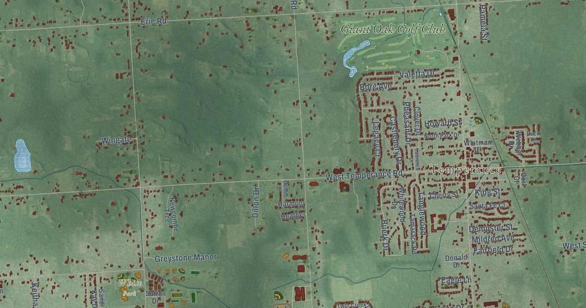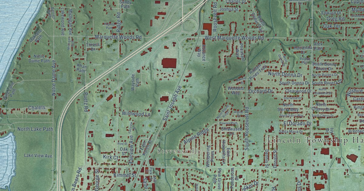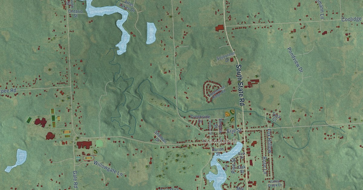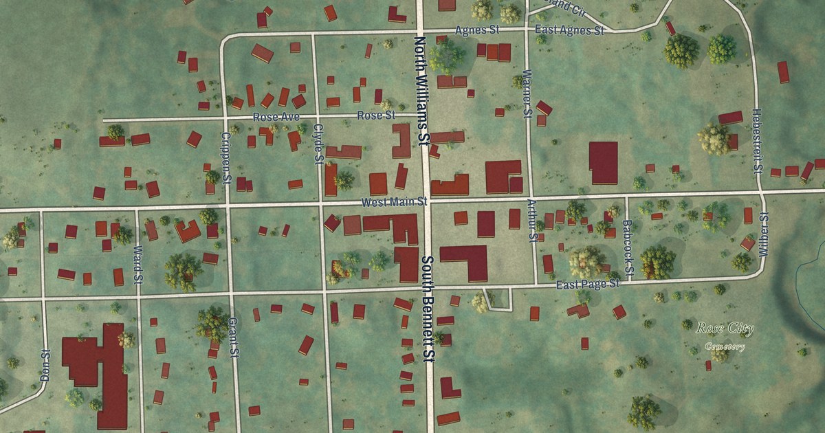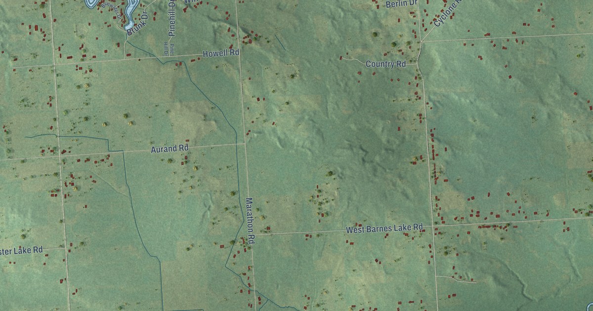
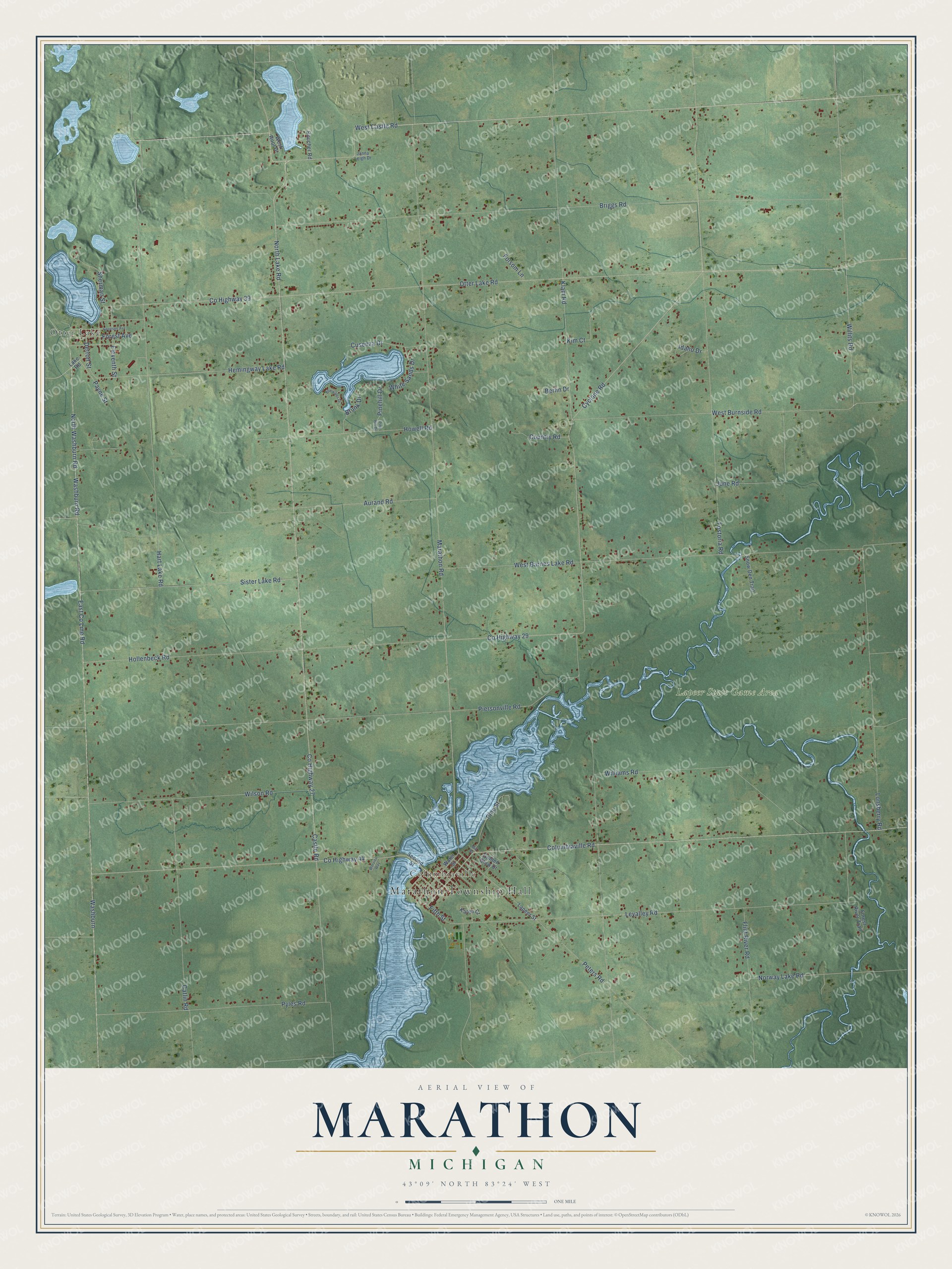
This beautifully detailed map of Marathon, Michigan was created in 2026 using aerial imagery combined with modern topographical, census, street and landmark data. It's a modern aerial view of Marathon in Lapeer County, Michigan, that combines modern data with a vintage aesthetic. The roads feature printed names, and if you look closely you can find your exact house accurately shown in its correct location.
Explore an aerial view of Marathon, Michigan
On this map you'll find Marathon Township Hall, Otter Lake, Columbiaville, Lapeer State Game Area, Castle Road, West Castle Road, North Lake Road, Co Highway 27, Co Highway 29, Willits Road, Columbiaville Road, Co Highway 44, and more. Each red shape is a building, so zoom in on the preview and look for yours.
Every town has a first chapter, and Marathon is no exception. The History of Lapeer County puts it this way: "Mr. Pierson established himself at what was known as Marathon village, a place of no importance now, the railroad having passed it by."
The Census Bureau counted 4,467 people here in 2020.
Take a closer look at the Marathon map
Names on this map
These names are printed on this map.
Places: Marathon Township Hall, Otter Lake, Columbiaville and Lapeer State Game Area.
Streets and roads: Castle Road, West Castle Road, North Lake Road, County Highway 27, County Highway 29, Willits Road, Columbiaville Road, County Highway 44, Otter Lake Road, Klam Road, Marathon Road, County Highway 39.
More street names, A to Z
Aurand Road, Berlin Drive, Bluewater Drive, Boucher Road, Briggs Road, Brunk Drive, Catlin Road, Country Road, Cusenza Drive, Cyclone Road, Detroit Street, East County Line Road, Eleventh Street, Fifth Street, Flint River Road, Folsom Lane, Forest Avenue, Forest River Trail, Fostoria Road, Genesee Avenue, Golden Glow Drive, Hart Lake Road, Hemingway Lake Road, Hollenbeck Road, Howell Road, Idaho Drive, Janna Leigh Drive, June Road, Karen Court, Kim Court, Lake Road, Lapeer Street, Levalley Road, Lonsberry Road, Mill Street, North Washburn Road, Norway Lake Road, Payne Street, Peters Road, Piersonville Road, Pinehill Drive, Pine Hill Drive, Pine Street, Pyles Road, Second Street, Sherman Street, Sister Lake Road, Snow Den Trail, Washburn, Washburn Road, Water Street, West Barnes Lake Road, West Burnside Road, West Root Drive, White Sands Drive, Williams Road, Wilson Road, Worvies Way.
See it on a wall
The Marathon map as a framed print. Swipe for more.


Created by KNOWOL in 2026. The buildings are small red shapes, the roads carry their printed names, and shaded relief shows the shape of the land. The title panel reads "AERIAL VIEW OF MARATHON, MICHIGAN" with 43°09' NORTH 83°24' WEST.
Hang it in the hallway, the office or the cabin, or give it to someone who left Marathon and still calls it home. Open the preview and look for a street you know. See sizes and frames for the Marathon map.