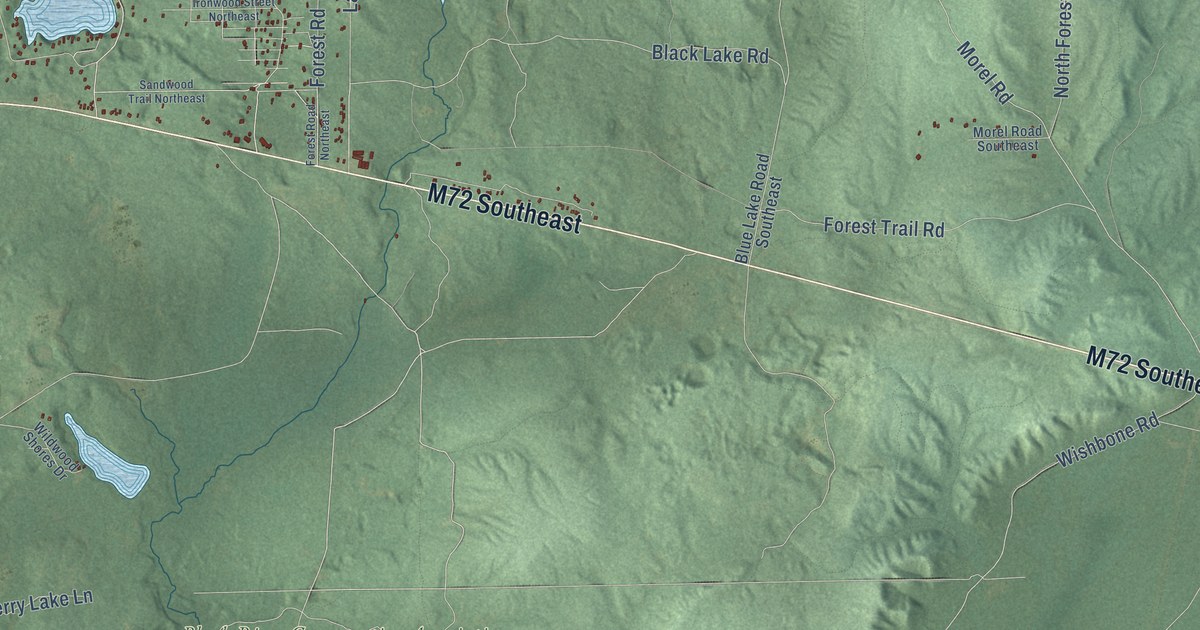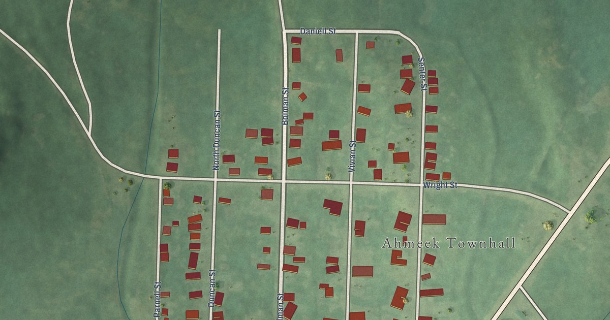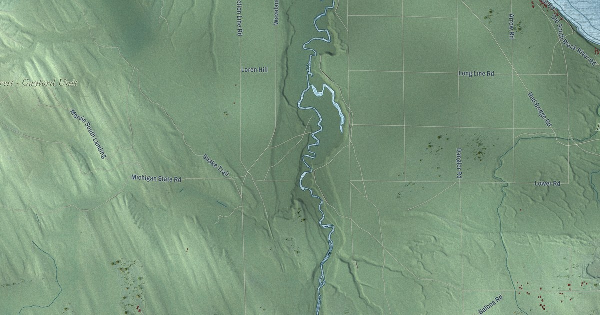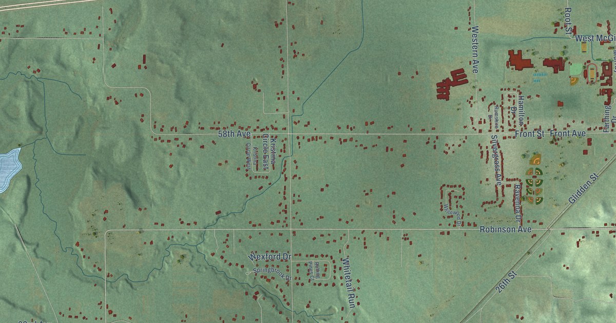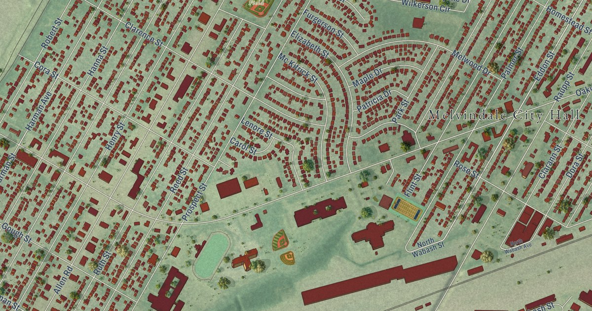
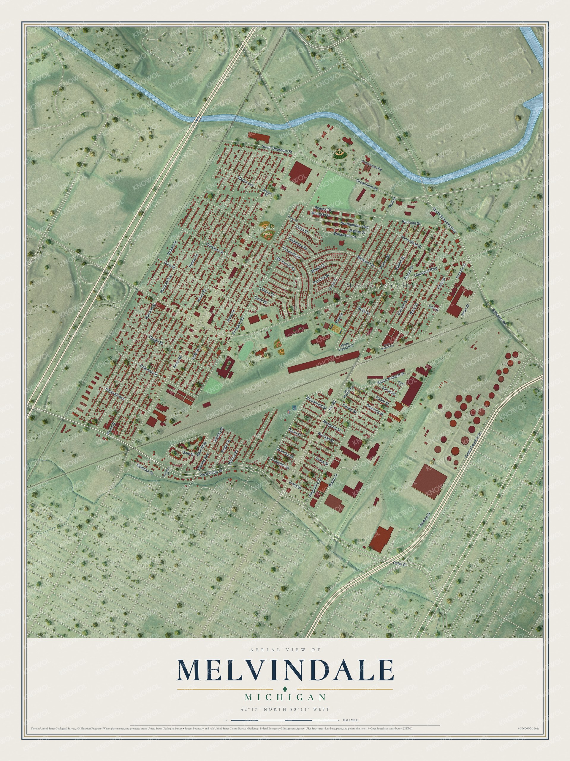
This beautifully detailed map of Melvindale, Michigan was created in 2026 using aerial imagery combined with modern topographical, census, street and landmark data. It's a modern aerial view of Melvindale in Wayne County, Michigan, that combines modern data with a vintage aesthetic. The roads feature printed names, and if you look closely you can find your exact house accurately shown in its correct location.
Explore an aerial view of Melvindale, Michigan
On this map you'll find Melvindale City Hall, De Luca Field, Outer Drive, West Outer Drive, Greenfield Road, Railroad Street, Eddon Street, South Wabash Street, Palmer Street, Coleman Street, Oakwood Boulevard, Allen Road, and more. Each red shape is a building, so zoom in on the preview and look for yours.
Melvindale has a story worth telling. The Wayne County MIGenWeb puts it this way: "Melvindale was formed from Oakwood Heights in 1924 and became a city in 1933. The city was named for Melvin Wilkinson, an early developer of the area."
Melvindale is a city in Wayne County. The Census Bureau counted 12,851 people here in 2020.
Take a closer look at the Melvindale map
Names on this map
These names are printed on this map.
Places: Melvindale City Hall and De Luca Field.
Streets and roads: Outer Drive, West Outer Drive, Greenfield Road, Railroad Street, Eddon Street, South Wabash Street, Palmer Street, Coleman Street, Oakwood Boulevard, Allen Road, Henry Street, Wood Street.
More street names, A to Z
Blanche Street, Bloomfield Street, Carol Street, Caryn Street, Clarann Street, Clarence Street, Cora Street, Corbin Street, David Street, Demean Street, Dix Road, Dora Street, Downing Street, Elizabeth Street, Emily Street, Emogene Street, Fisher Fwy Svc Drive, Fisher Street, Flint Street, Flora Street, Francis Street, Furgerson Street, Gale Boulevard, Gale Court, Gough Street, Grace Street, Hanna Street, Harlow Street, Harman Avenue, Harman Street, Hess Street, Homestead Street, Kincaid Street, Laurence Street, Lenore Street, Leo Street, Maple Drive, Margaret Street, Martel Avenue, Martel Street, Mc Kitrick Street, Meginnity Street, Melwood Drive, Miami Street, Norman Street, Northpointe Boulevard, North Wabash Avenue, North Wabash Street, Park Street, Patricia Drive, Pinkowski Street, Prospect Street, Pumphouse Road, Raupp Street, Reed Street, Reeves Drive, Rialto Street, Robert Street, Roger Street, Rose Street, Roycroft Avenue, Ruth Street, Schaefer Road, Seaway Drive, Skyline Drive, South Dearborn Street, South Schaefer Highway, South Wabash Avenue, Stanley Avenue, Stanley Street, Wall Street, Whitaker Drive, Wilkerson Circle.
Created by KNOWOL in 2026. The buildings are small red shapes, the roads carry their printed names, and shaded relief shows the shape of the land. The title panel reads "AERIAL VIEW OF MELVINDALE, MICHIGAN" with 42°17' NORTH 83°11' WEST.
It looks right in a kitchen, an office or a den, and it's a gift for anyone who grew up in Melvindale or moved away. Open the preview and find your street. See sizes and frames for the Melvindale map.