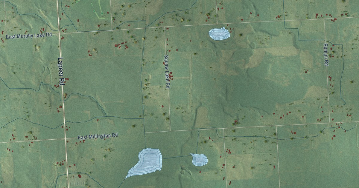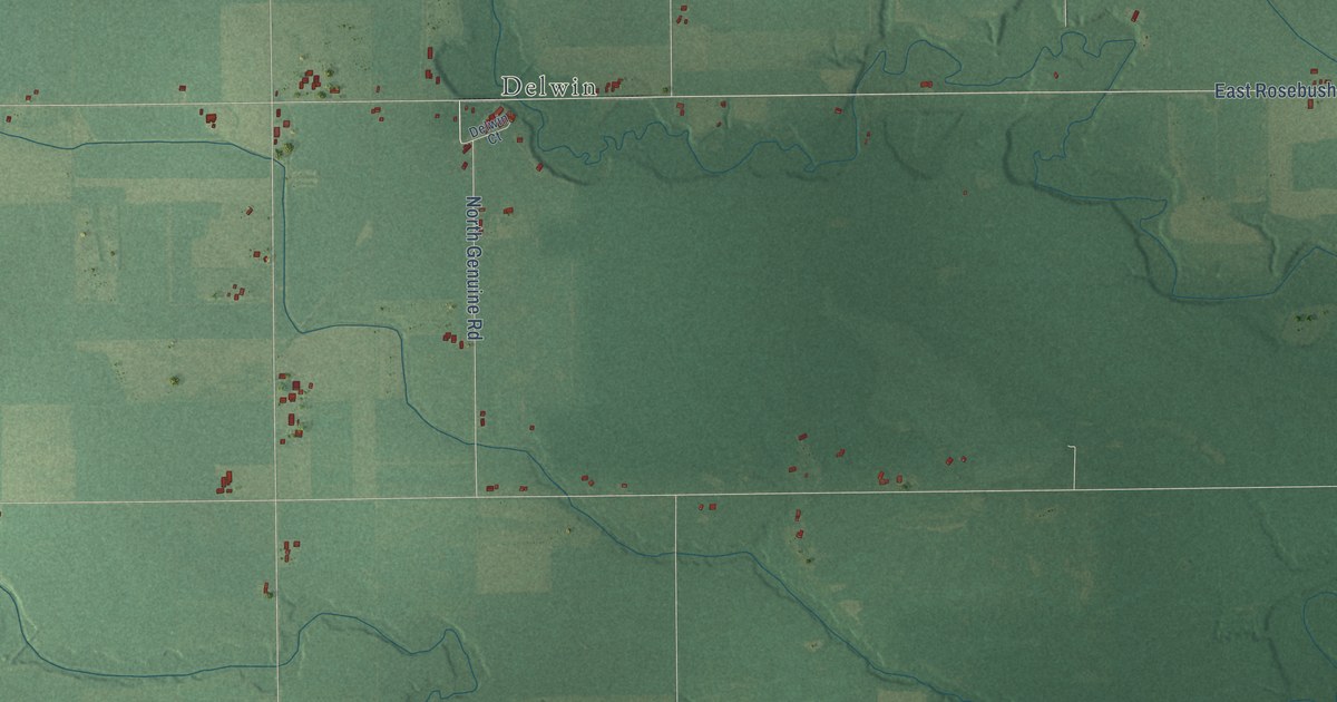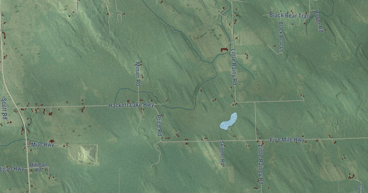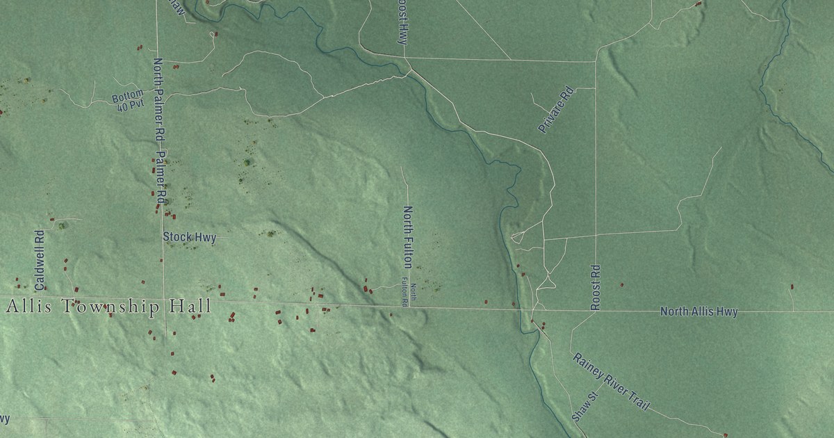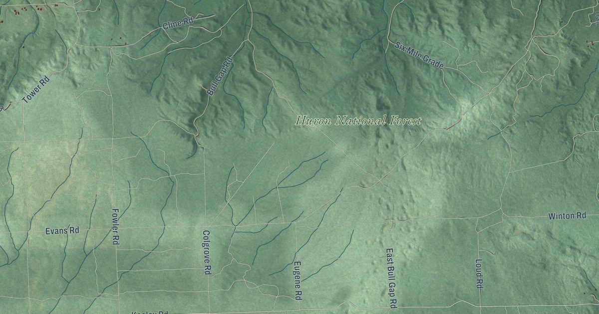
This beautifully detailed map of Mentor, Michigan was created in 2026 using aerial imagery combined with modern topographical, census, street and landmark data. It's a modern aerial view of Mentor in Oscoda County, Michigan, that combines modern data with a vintage aesthetic. The roads feature printed names, and if you look closely you can find your exact house accurately shown in its correct location.
Explore an aerial view of Mentor, Michigan
On this map you'll find Mentor Township Hall, Mio, McKinley, Huron National Forest, South Mount Tom Road, Keeley Road, Hoy Road, Mc Creedie Road, South River Road, Eighth Street, Ausable Valley River Road, Cauchy Road, and more. Each red shape is a building, so zoom in on the preview and look for yours.
Every town has a first chapter, and Mentor is no exception. The Michigan History Center puts it this way: "By 1883 Mio’s fifty residents supported a general store, a milliner, two attorneys, and the Northern Mail newspaper."
The Census Bureau counted 1,037 people here in 2020.
Take a closer look at the Mentor map

Names on this map
These names are printed on this map.
Places: Mentor Township Hall, Mio, McKinley and Huron National Forest.
Streets and roads: South Mount Tom Road, Keeley Road, Hoy Road, Mc Creedie Road, South River Road, Eighth Street, Ausable Valley River Road, Cauchy Road, County Highway 602, Colgrove Road, East Cherry Creek Road, Nasser Road.
More street names, A to Z
13th Street, Abbe Road, Anderson Road, Bamfield Road, Beechwood Road, Brainard Springs Road, Bull Gap Road, Burr Road, Cass Drive, Cass Street, Cedar Street, Christy Lane, Cline Road, Clover Road, Con Energy Powerline Road, County Highway 489, County Highway 601, County Highway 604, Creekview Drive, Curtisville Road, Deckerville Road, East Bull Gap Road, East County Line Road, East Drive, East Fifth Street, East Hughes Lake Road, Eggleston Road, Eugene Road, Evans Road, Fawn Valley, Fire Trail 4457, Firr Trail, Forest Road 4856, Fowler Road, Geesey Avenue, George Trail, Glennie Drive, Goodar Road, Greve Road, Hardy Grade, Huron Drive, Huron Forest Drive, Jimmey Lane, Kernaghan Trail, Labay Road, Lakeview Drive, Loud Road, Mack Lake Trail, McKinley Road, Mc Kinley Road, Michaud Road, Monroe Street, North McKinley Road, North Road, Old Baldy Road, Old State Road, Orv Trail, Os Co F32, Parliament Drive, Perry Creek Road, Pineview Drive, Potts Road, Radabaugh Drive, Redbird Trail, Reed Road, Ridge Trail, River Bend, River Drive, Roberts Lane, Shiroda Trail, Six Mile Grade, South Weaver Road, Stark Drive, Stevens Road, Stitt Lane, Summers Road, Sylvan Court, Taber Road, Tower Road, US Highway Gov Road 4838, US Highway Govt 4428, US Highway Govt Road 4350, US Highway Govt Road 4836, Vaughn Road, Verda Lane, Warbler Lane, Warbler Road, Weeks Road, Wilcox Drive, Winton Road, Wolf Creek Trail, Woods Trail.
Created by KNOWOL in 2026. The buildings are small red shapes, the roads carry their printed names, and shaded relief shows the shape of the land. The title panel reads "AERIAL VIEW OF MENTOR, OSCODA COUNTY • MICHIGAN" with 44°39' NORTH 84°08' WEST.
Hang it in the hallway, the office or the cabin, or give it to someone who left Mentor and still calls it home. Open the preview and look for a street you know. See sizes and frames for the Mentor, Oscoda County map.