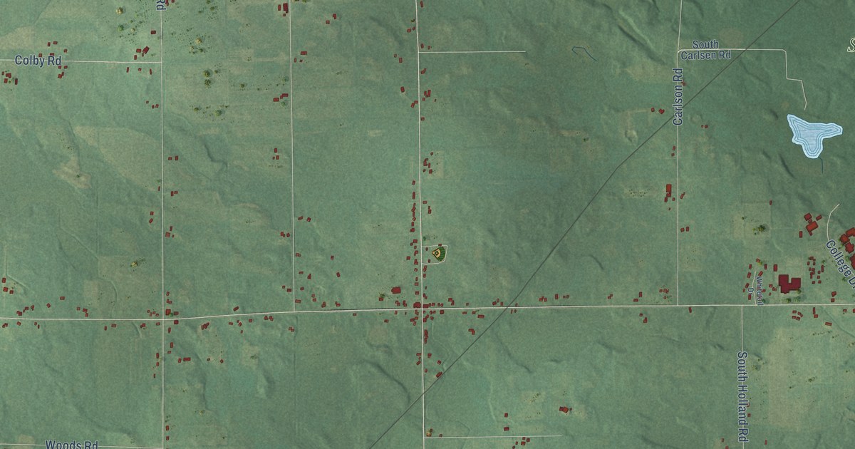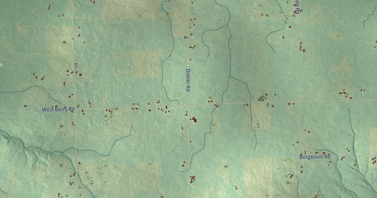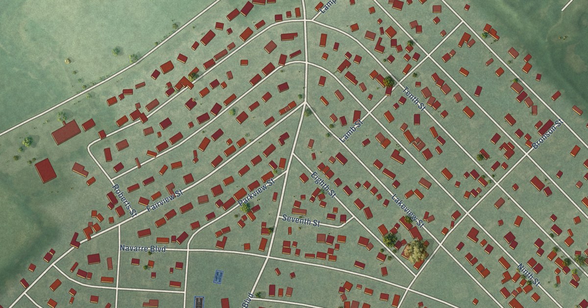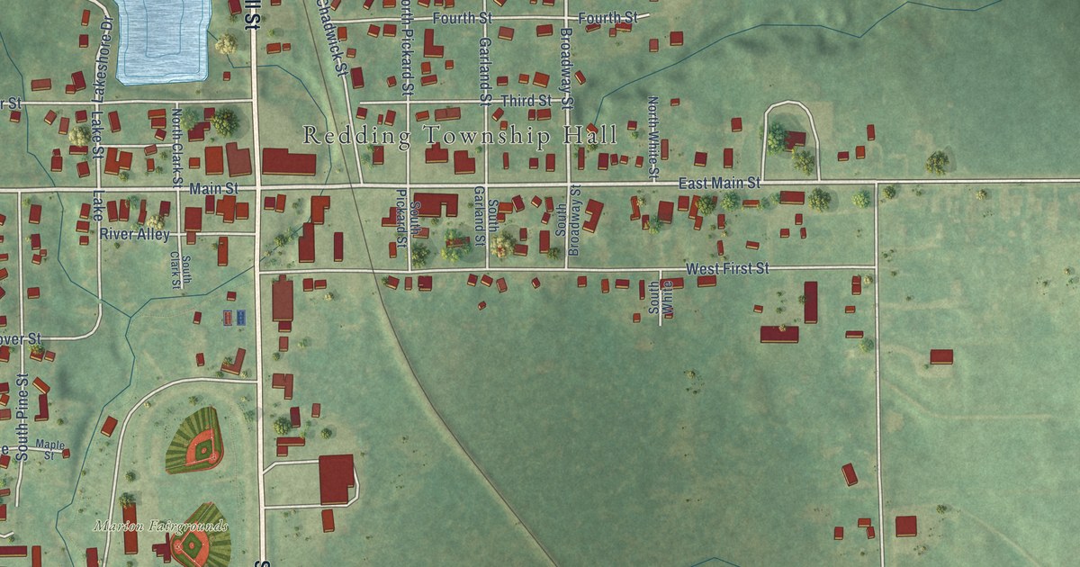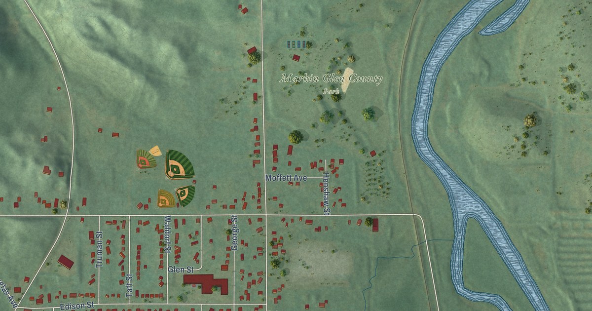
This beautifully detailed map of Northwood, Michigan was created in 2026 using aerial imagery combined with modern topographical, census, street and landmark data. It’s a one-of-a-kind view of Northwood that combines accurate data with a vintage aesthetic. The map shows every building in its true location, many of the roads carry their names, and the shaded topographic relief shows the shape of the land.
Explore an aerial view of Northwood, Michigan
On the map you’ll find Markin Glen County Park, along with South Riverview Drive, Hardell Drive, North Hills Drive, Lottie Avenue, Beth Avenue, Christine Street, West Mosel Avenue, Goodrich Road, Old Douglas Avenue, Everhard Avenue, Douglas Avenue, and more. If you look closely you can even find your house accurately drawn in its correct location. Zoom in on the preview to look for yours.
Did You Know?
From Internet Archive: "RANSOM GILLIS CITY OF DETROIT 997 Bullock, was Frank Northwood, who came to the United States from London, England, and settled first in Detroit, but afterward removed to Saginaw county."
Northwood is a community in Kalamazoo County.
Take a closer look at the Northwood map
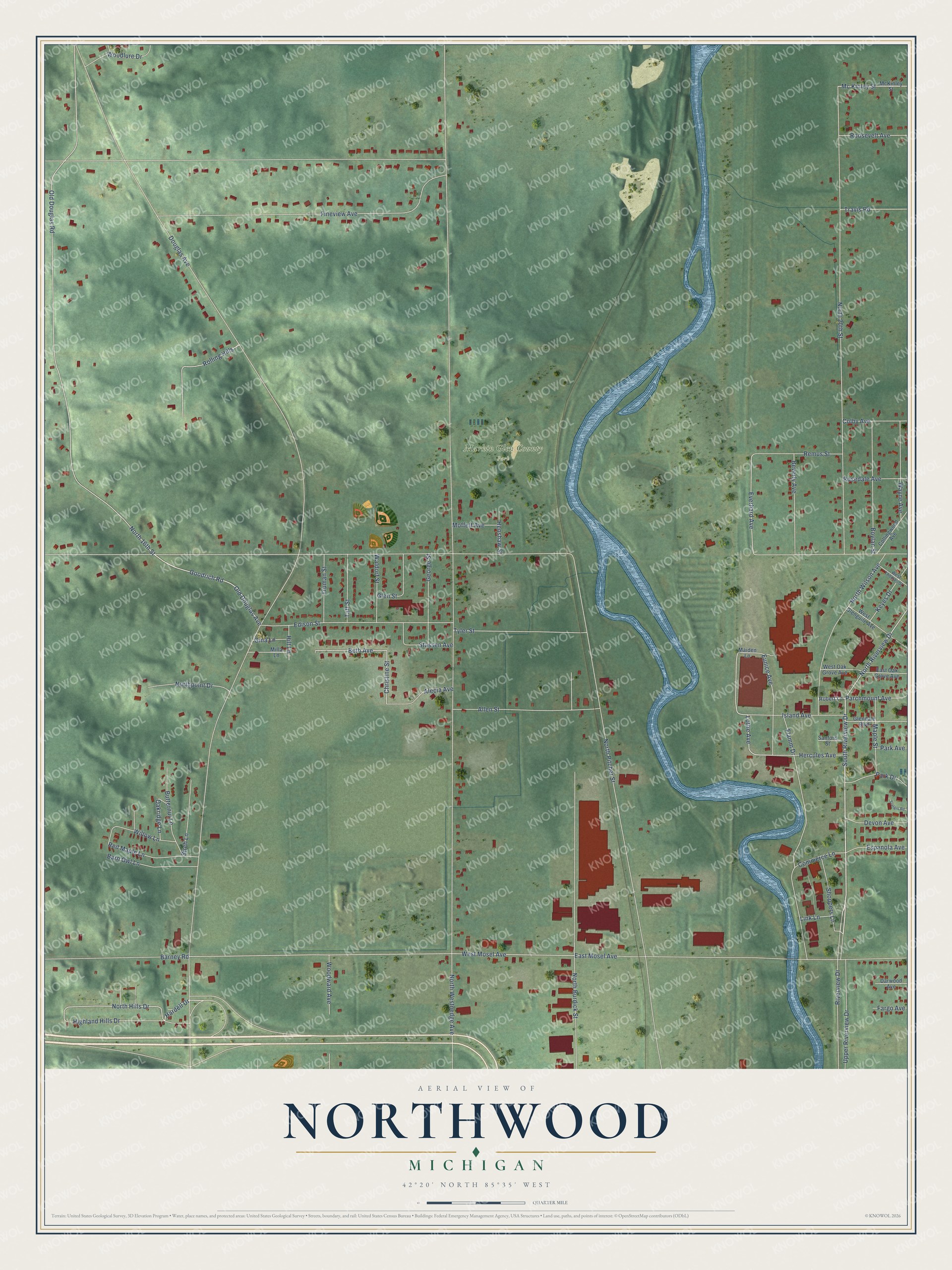
Names on this map
These names are printed on this map.
Places: Markin Glen County Park.
Streets and roads: South Riverview Drive, Hardell Drive, North Hills Drive, Lottie Avenue, Beth Avenue, Christine Street, West Mosel Avenue, Goodrich Road, Old Douglas Avenue, Everhard Avenue, Douglas Avenue, North Westnedge Avenue.
More street names, A to Z
Alecia Avenue, Allen Street, Barney Road, Barn Owl Lane, Beverly Avenue, Birch Lane, Boylan Street, Butternut Lane, Colby Avenue, Collingwood Avenue, Commerce Lane, Darwood Avenue, Devon Avenue, East Mosel Avenue, East Oak Grove Avenue, Edison Street, Espanola Avenue, Eunice Avenue, Fargo Avenue, Fineview Avenue, Flamm Drive, George Street, Gina Lane, Glendale Boulevard, Glen Street, Henshaw Street, Hercules Avenue, Highland Hills Drive, Hilt Lane, Island Avenue, Keyes Drive, Link Lane, Maiden Lane, Maple Street, Mc Kinley Street, McKinley Street, Milla Lane, Moffett Avenue, North 16th Street, North 20th Street, North Burdick Street, North Pitcher Street, Northpoint Drive, North Riverview Drive, North Wilson Avenue, Oakridge Lane, Old Douglas Road, Parchmount Avenue, Park Avenue, Park Drive, Red Maple Lane, Remus Street, Riverview Drive, Robert Lane, Rolling Hills, Roosevelt Avenue, Rosedale Avenue, Sanford Street, Shoppers Lane, Stassen Avenue, Sturgis Road, Taft Street, Travis Road, Truman Street, Tyler Street, Upper Riverview Drive, Waldorf Street, Wayne Avenue, West Glenguile Avenue, West Oak Grove Avenue, West Thomas Street, Willow Lane, Woodlure Drive, Woodward Avenue.
See it on a wall
The Northwood map as a framed print. Swipe for more.


This beautifully detailed map of Northwood makes an attractive addition to your office, library, or den, and it can even be used to teach children the geography and history of the area. It also makes a great gift for someone who left Northwood and still calls it home. When you’re done exploring, click here to get your copy of the Northwood map.