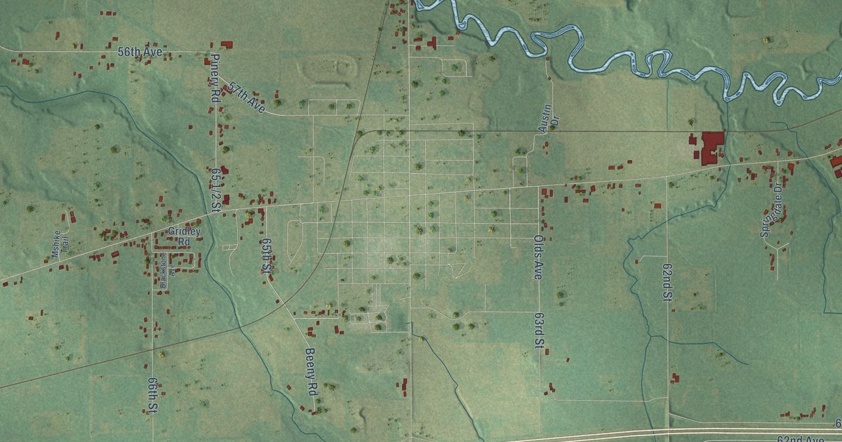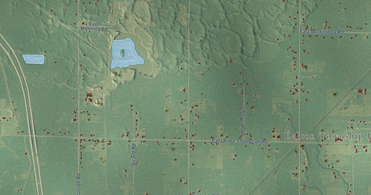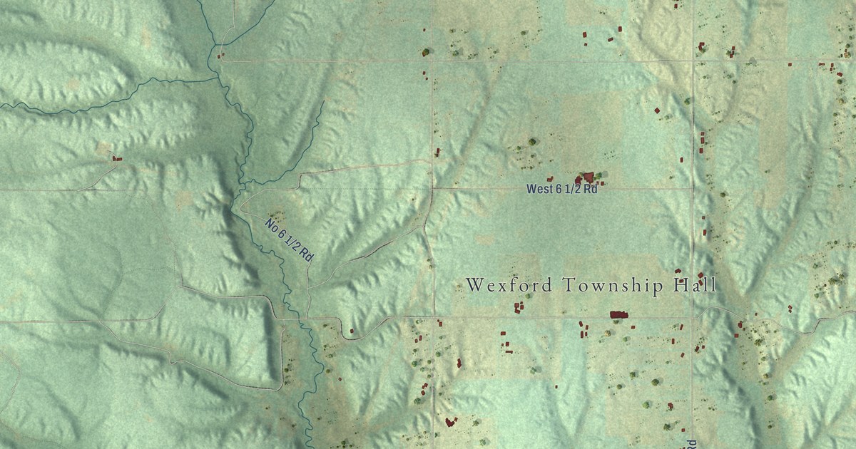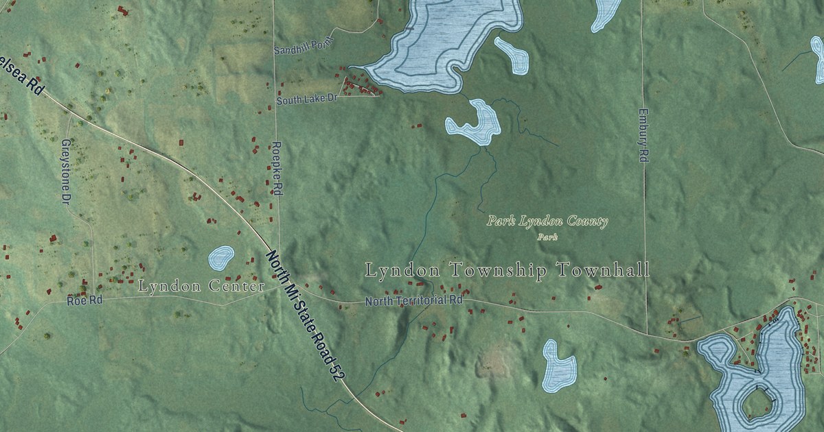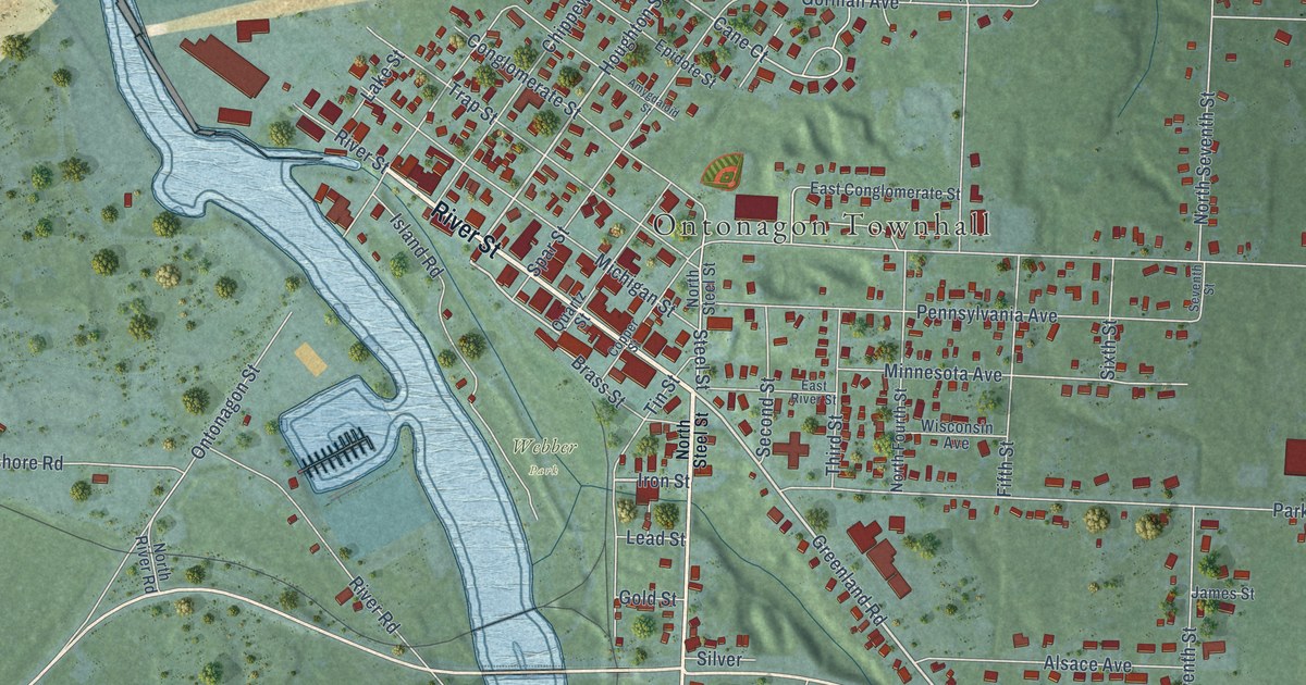
This beautifully detailed map of Ontonagon, Michigan was created in 2026 using aerial imagery combined with modern topographical, census, street and landmark data. It's a modern aerial view of Ontonagon in Ontonagon County, Michigan, that combines modern data with a vintage aesthetic. The roads feature printed names, and if you look closely you can find your exact house accurately shown in its correct location.
Explore an aerial view of Ontonagon, Michigan
On this map you'll find Ontonagon Townhall, Ontonagon Township Park, Webber Park, River Street, Greenland Road, South Steel Street, Rockland Road, Iron Street, Houghton Street, Maple Street, Walnut Street, Steel Street, and more. Each red shape is a building, so zoom in on the preview and look for yours.
Ontonagon has a story worth telling. The History of the Northern Peninsula of Michigan puts it this way: "In 1849 the first frame house in Ontonagon was built by Captain John G. Parker, and so the then village of Ontonagon had its beginning almost concurrently with the settlement at Marquette, just at the end of the first half of the nineteenth century."
Ontonagon is a village in Ontonagon County. The Census Bureau counted 1,285 people here in 2020.
Take a closer look at the Ontonagon map
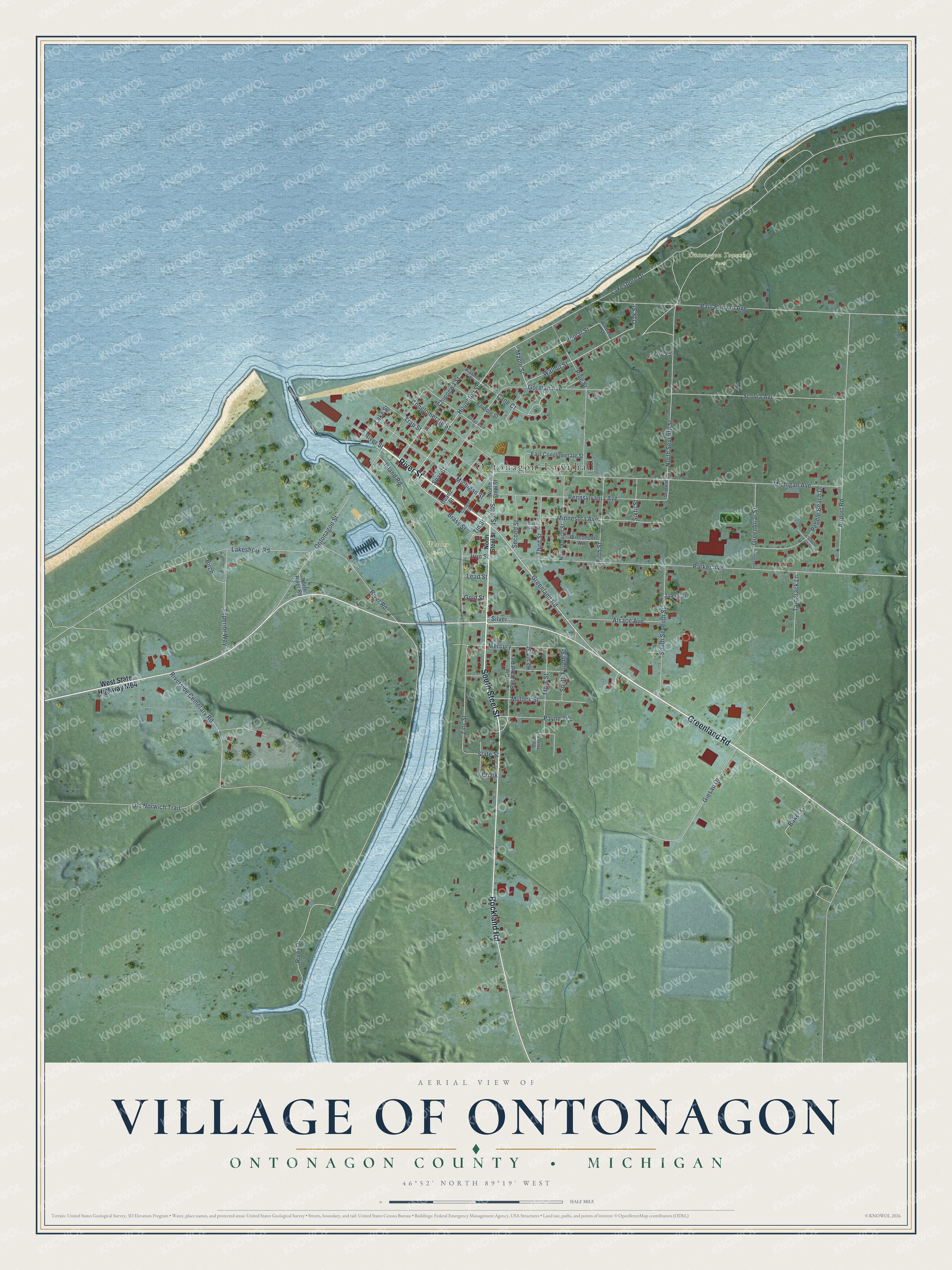
Names on this map
These names are printed on this map.
Places: Ontonagon Townhall, Ontonagon Township Park and Webber Park.
Streets and roads: River Street, Greenland Road, South Steel Street, Rockland Road, Iron Street, Houghton Street, Maple Street, Walnut Street, Steel Street, Cane Court, Zinc Street, Poplar Street.
More street names, A to Z
Airport Road, Alsace Avenue, Amygdaloid Street, Baker Lane, Birch, Braceburn Court, Brass Street, Cedar Street, Chalk, Chippewa Street, Conglomerate Street, Copper Street, East Conglomerate Street, East River Street, Epidote Street, Fifth Street, Giesau Drive, Gold Street, Gorman Avenue, Greenbriar, Greenbriar Street, Heard Street, Island Road, James Street, Lakeshore Drive, Lakeshore Road, Lake Street, Lead Street, Mercury, Michigan Avenue, Michigan Street, Minnesota Avenue, Mors Street, Mulock Street, North Fourth Street, North River Road, North Seventh Street, North Steel Street, Oak Street, Old Norwich Trail, Old Rockland Road, Ontonagon Street, Parker Avenue, Paul Bunyan Avenue, Payne Street, Pebble Beach Drive, Pennsylvania Avenue, Pine Street, Prehnite Street, Quartz Street, River Drive, River Road, Riverside Cemetary Road, Scovia Avenue, Second Street, Seventh Street, Silver, Sixth Street, Slate Street, South Fourth Street, South Seventh Street, South Third Street, Spar Street, Superior Way, Tamarack Lane, Tamarack Street, Third Street, Tin Street, Trap Street, West State Highway M64, Wisconsin Avenue.
See it on a wall
The Ontonagon map as a framed print. Swipe for more.


Created by KNOWOL in 2026. The buildings are small red shapes, the roads carry their printed names, and shaded relief shows the shape of the land. The title panel reads "AERIAL VIEW OF VILLAGE OF ONTONAGON, ONTONAGON COUNTY • MICHIGAN" with 46°52' NORTH 89°19' WEST.
It looks right in a kitchen, an office or a den, and it's a gift for anyone who grew up in Ontonagon or moved away. Open the preview and find your street. See sizes and frames for the Ontonagon map.