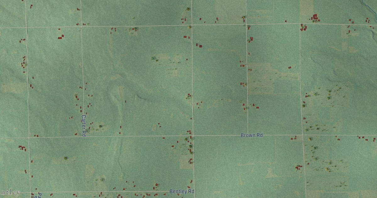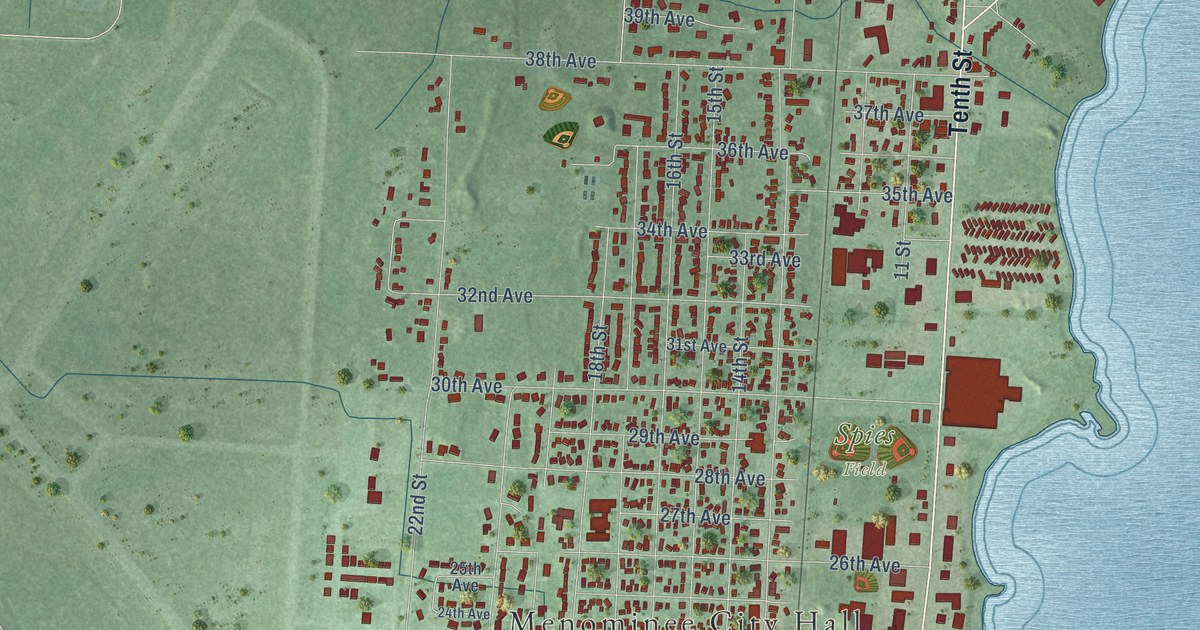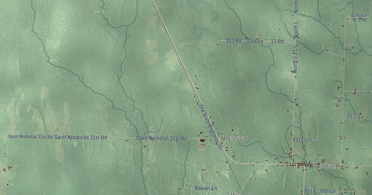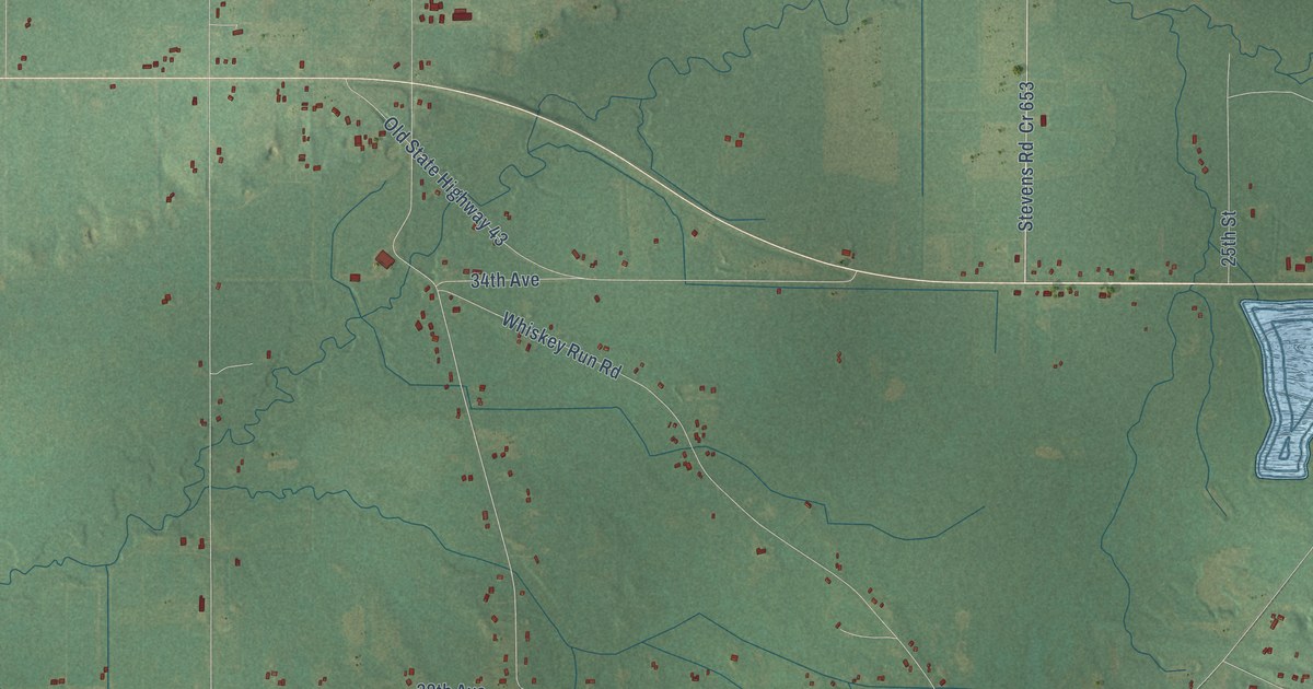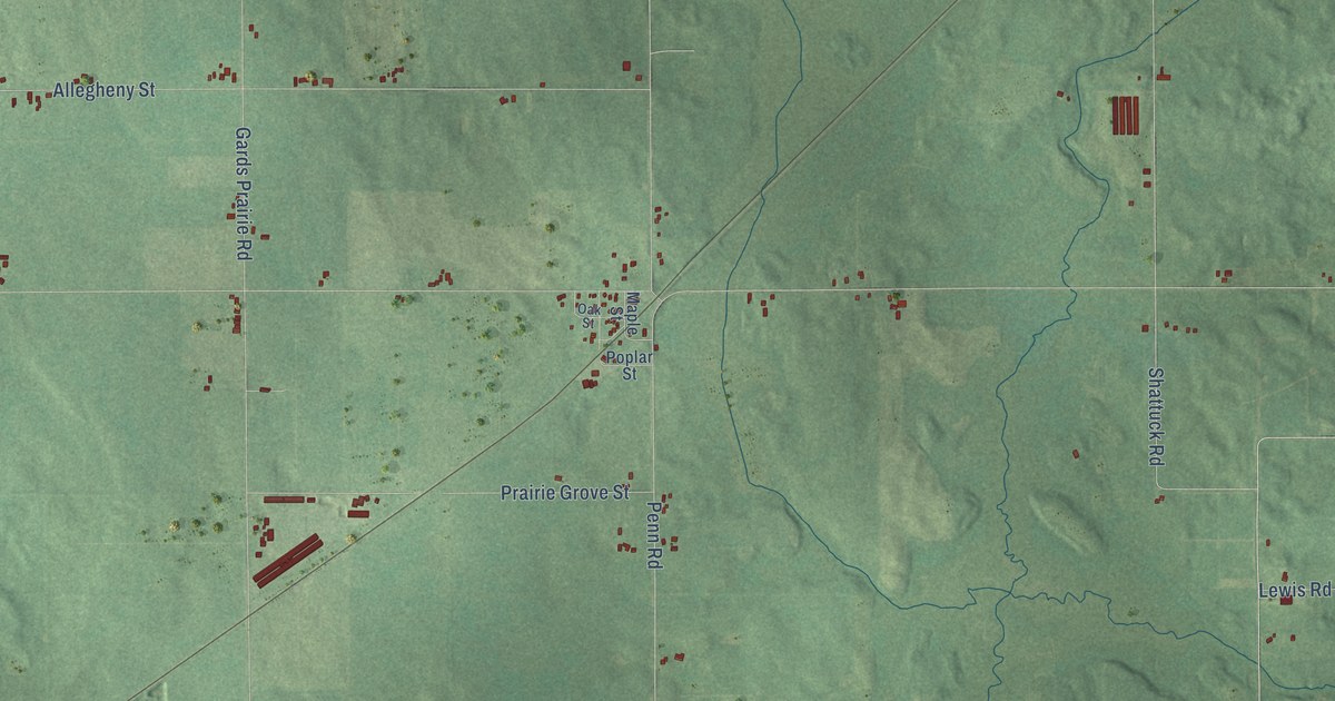
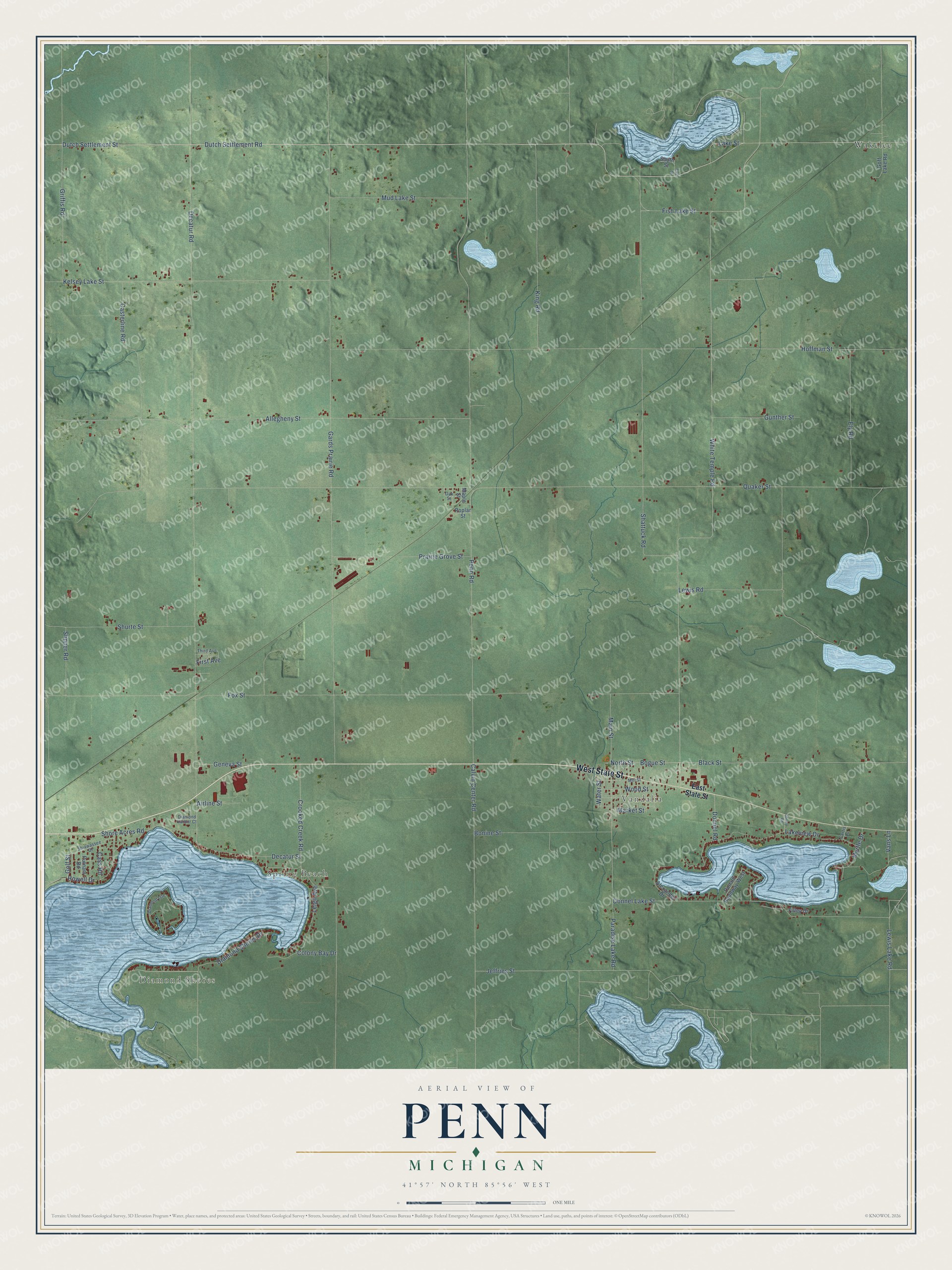
This beautifully detailed map of Penn, Michigan was created in 2026 using aerial imagery combined with modern topographical, census, street and landmark data. It's a modern aerial view of Penn in Cass County, Michigan, that combines modern data with a vintage aesthetic. The roads feature printed names, and if you look closely you can find your exact house accurately shown in its correct location.
Explore an aerial view of Penn, Michigan
On this map you'll find Diamond Shores, Spring Beach, Vandalia, Wakelee, West State Street, Dutch Settlement Street, Dutch Settlement Road, Allegheny Street, Golf Street, White Temple Road, Lewis Lake Road, Bogue Street, and more. Each red shape is a building, so zoom in on the preview and look for yours.
Here is a piece of Penn history, in the words of the record. The History of Cass County puts it this way: "The post office since its establishment has been known as Penn. According to the last census, it contained a population of 100, not having gained any for several years, its location preventing its ever being more than a side station."
The Census Bureau counted 1,755 people here in 2020.
Take a closer look at the Penn map
Names on this map
These names are printed on this map.
Places: Diamond Shores, Spring Beach, Vandalia and Wakelee.
Streets and roads: West State Street, Dutch Settlement Street, Dutch Settlement Road, Allegheny Street, Golf Street, White Temple Road, Lewis Lake Road, Bogue Street, North Street, Decatur Road, Quaker Street, Penn Road.
More street names, A to Z
Airline Street, Alexander Drive, Black Street, Bonine Street, Calvin Center Road, Cass Road, Casterline Road, Colony Bay Drive, Crooked Creek Road, Curtis Lane, Decatur Street, Diamond Harbor Court, Diamond Isle, Diamond Shores Drive, Donald Roadway West, Donnel Lake Street, Donnel Road, East State Street, East Street, Ely Road, Filley Drive, First Avenue, Fish Lake Street, Fox Street, Gards Prairie Road, Geneva Street, Goff Lake Road, Griffis Road, Gunther Street, Hoffman Street, Howell Drive, Jeffries Street, Kelsey Lake Street, King Road, Lake Street, Lakeview Drive, Leigh Avenue, Lewis Road, Main Street, Maple Street, Market Street, Mill Street, Mud Lake Street, Myrtle Drive, Oak Street, Paradise Lake Road, Poplar Street, Prairie Grove Street, Putnam Road, Shattuck Road, Shiawassee Drive, Shore Acres Road, Shurte Street, Slipper Road, South Street, Storey Road, Third Avenue, Vans Lane, Water Street, Wood Street.
See it on a wall
The Penn map as a framed print. Swipe for more.


Created by KNOWOL in 2026. The buildings are small red shapes, the roads carry their printed names, and shaded relief shows the shape of the land. The title panel reads "AERIAL VIEW OF PENN, MICHIGAN" with 41°57' NORTH 85°56' WEST.
It suits a den, a classroom or a front hall, and it makes a gift for anyone with Penn roots. Open the preview and find the block you know. See sizes and frames for the Penn map.