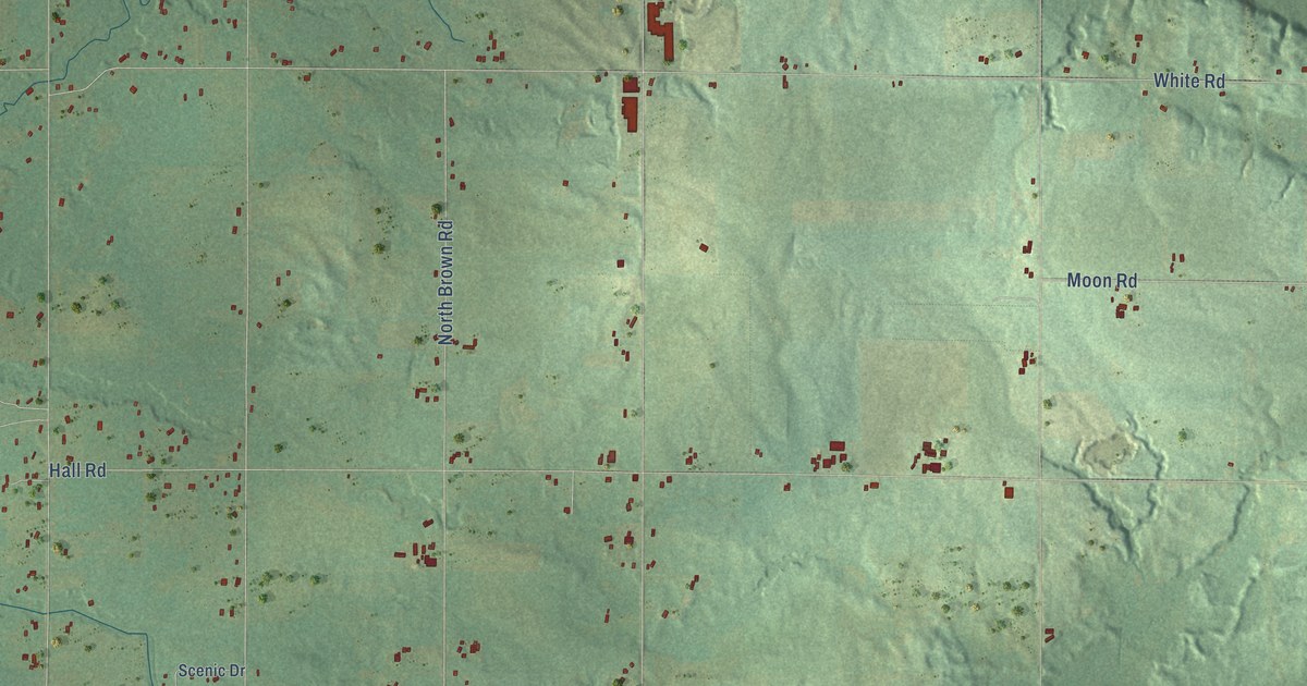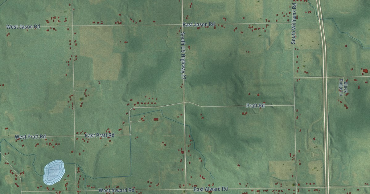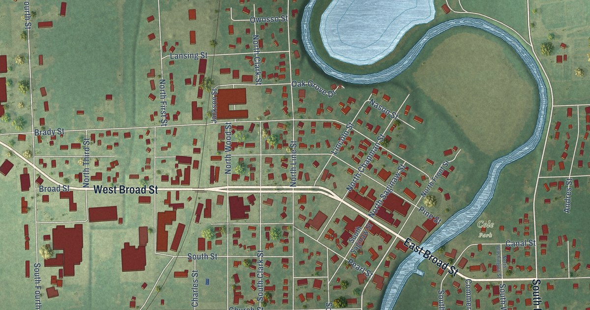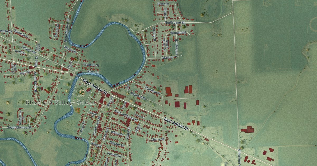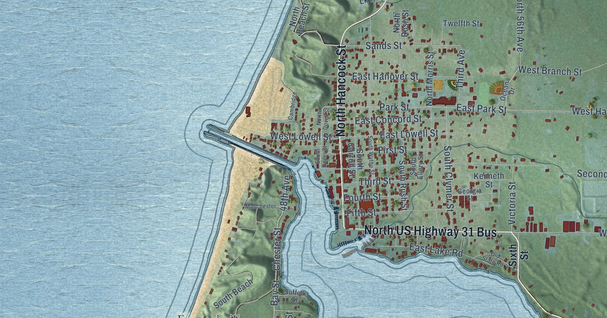
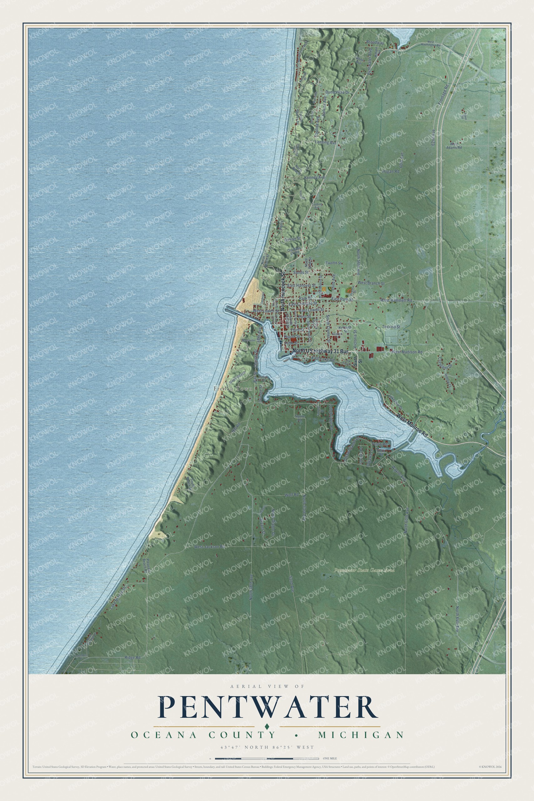
This beautifully detailed map of Pentwater, Michigan was created in 2026 using aerial imagery combined with modern topographical, census, street and landmark data. It's a modern aerial view of Pentwater in Oceana County, Michigan, that combines modern data with a vintage aesthetic. The roads feature printed names, and if you look closely you can find your exact house accurately shown in its correct location.
Explore an aerial view of Pentwater, Michigan
On this map you'll find French Town, Pentwater State Game Area, North US Highway 31 Bus, West Monroe Road, North Hancock Street, Park Street, East Park Street, Longbridge Road, North 53rd Avenue, Frontage Road, North 64th Avenue, Third Street, and more. Each red shape is a building, so zoom in on the preview and look for yours.
Here is a piece of Pentwater history, in the words of the record. The record at arcgis.com puts it this way: "The most disastrous day in the history of Lake Michigan shipping was Armistice (now Veterans) Day, November 11, 1940. With seventy-five-mile-per-hour winds and twenty-foot waves, a raging storm destroyed three ships and claimed the lives of fifty-nine seamen."
The Census Bureau counted 1,652 people here in 2020.
Take a closer look at the Pentwater map
Names on this map
These names are printed on this map.
Places: French Town and Pentwater State Game Area.
Streets and roads: North US Highway 31 Bus, West Monroe Road, North Hancock Street, Park Street, East Park Street, Longbridge Road, North 53rd Avenue, Frontage Road, North 64th Avenue, Third Street, West Branch Street, Sands Street.
More street names, A to Z
48th Avenue, 52nd Avenue, 60th Avenue, 62nd Avenue, Bay Street, Bone Avenue, Broadway, Bryant Street, Cambridge, Chester Street, Crescent Drive, Diablo, Duna Vista Drive, East Concord Street, East Hanover Street, East Lake Road, East Lowell Street, Fifth Street, First Street, Forest Street, Fourth Street, Fremont, Georgia Street, Helena Avenue, Hill Road, Hilltop Court, Hogan Road, Iroquois Road, Kenneth Street, Kenney Avenue, Lake Breeze Drive, Lakeshore Drive, Lakeview Drive, Lansing Avenue, Leland Street, Lorraine Drive, Manchester, Manistee, Midland Avenue, Montgomery Boulevard, North 48th Avenue, North 56th Avenue, North 60th Avenue, North Beach, North Beach Street, North Diablo Drive, North Dover Street, North Morris Street, North Perry Avenue, North Rush Street, North Sandhill Drive, Oceana Drive, Old Bass Lk Road, Old State Road, Orange Street, Ottawa Lane, Ottawattamie Drive, Paulina Avenue, Pentwater Boulevard, Perry, Pleasant Beach Road, Ridge Road, River Road, Second Street, Sioux Road, Sixth Street, South Beach, South Beach Street, South Carroll Street, South Clymer Street, South Dover Street, South Ellery Street, South Rush Street, South Wythe Street, Squire Road, Suffolk Street, Sylvan Street, Third Avenue, Timber Shores Drive, Tonto Road, Topping Avenue, Twelfth Street, Victoria Street, Wayne Avenue, West Adams Road, West Hammett Road, West Jackson Road, West Lowell Street, West Madison Road, West Washington Road, Wolf Road.
Created by KNOWOL in 2026. The buildings are small red shapes, the roads carry their printed names, and shaded relief shows the shape of the land. The title panel reads "AERIAL VIEW OF PENTWATER, OCEANA COUNTY • MICHIGAN" with 43°47' NORTH 86°25' WEST.
It suits a den, a classroom or a front hall, and it makes a gift for anyone with Pentwater roots. Open the preview and find the block you know. See sizes and frames for the Pentwater, Oceana County map.