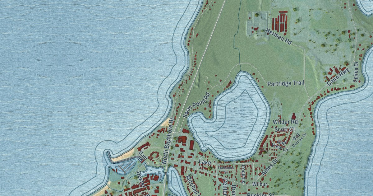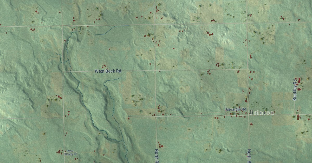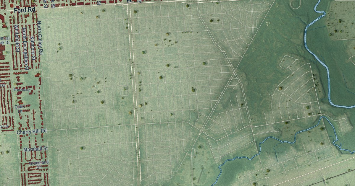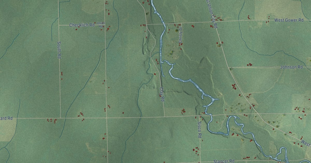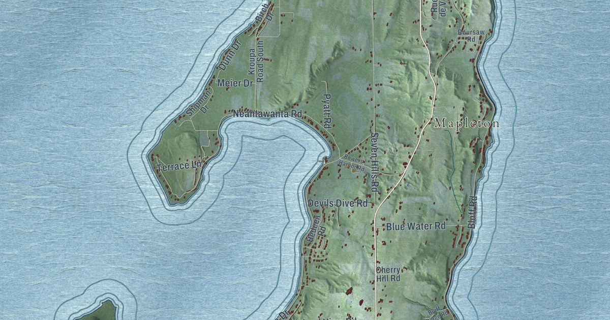
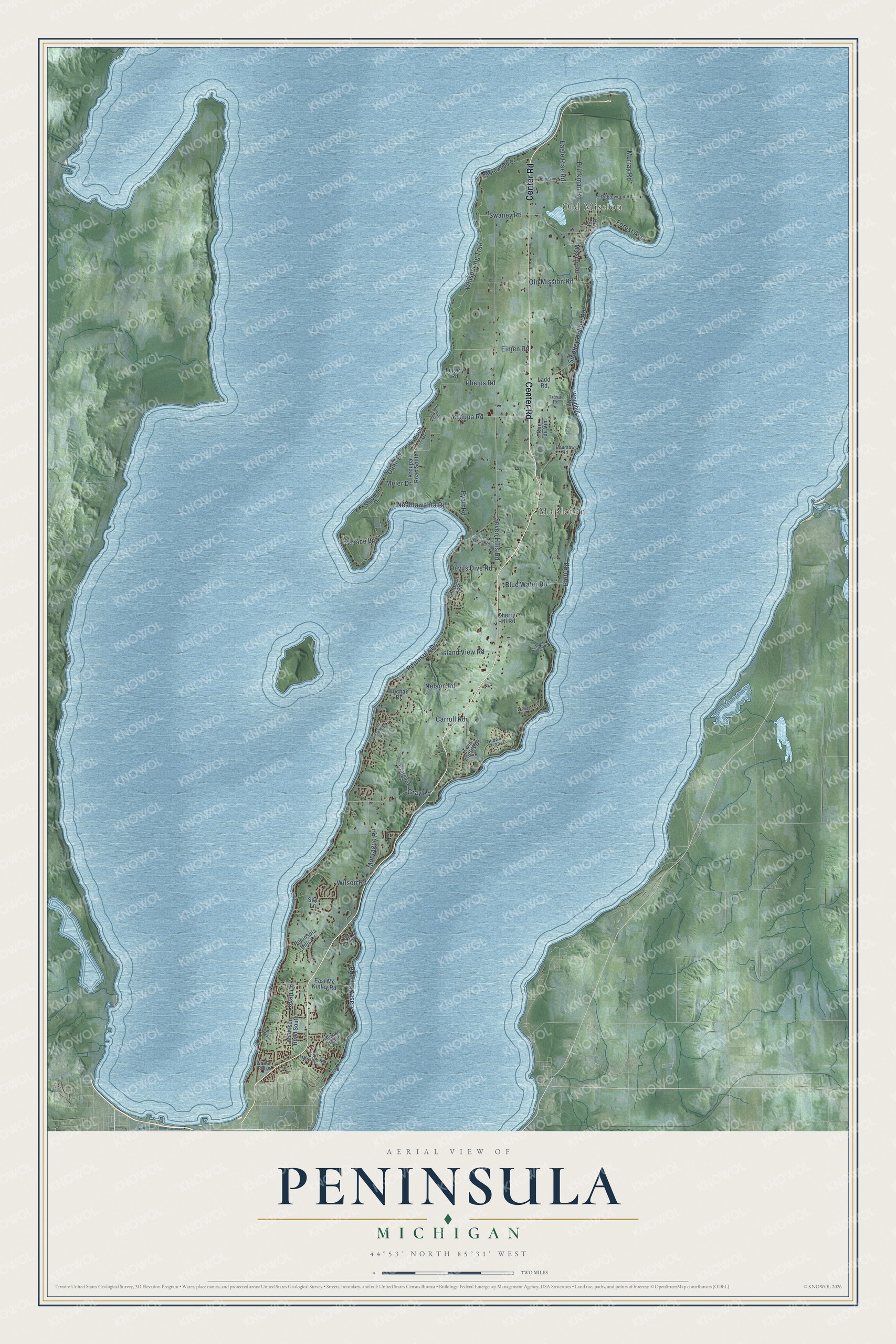
This beautifully detailed map of Peninsula, Michigan was created in 2026 using aerial imagery combined with modern topographical, census, street and landmark data. It's a modern aerial view of Peninsula in Grand Traverse County, Michigan, that combines modern data with a vintage aesthetic. The roads feature printed names, and if you look closely you can find your exact house accurately shown in its correct location.
Explore an aerial view of Peninsula, Michigan
On this map you'll find Old Mission, Mapleton, Center Road, Old Mission Road, East Shore Road, Murray Road, Peninsula Drive, Bluff Road, Smokey Hollow Road, Neahtawanta Road, Whispering Trail, Swaney Road, and more. Each red shape is a building, so zoom in on the preview and look for yours.
Every town has a first chapter, and Peninsula is no exception. The Sprague's History of Grand Traverse puts it this way: "The first meeting of the board of supervisors of the organized county of Grand Traverse was held on Wednesday, July 27, 1853, at the store of Cowles & Campbell, in the town of Peninsula. It was a special meeting called by the request of Robert Campbell, of Peninsula, John S. Barker, of Antrim, and S. G. Rice, of Leelanaw."
The Census Bureau counted 6,068 people here in 2020.
Take a closer look at the Peninsula map
Names on this map
These names are printed on this map.
Places: Old Mission and Mapleton.
Streets and roads: Center Road, Old Mission Road, East Shore Road, Murray Road, Peninsula Drive, Bluff Road, Smokey Hollow Road, Neahtawanta Road, Whispering Trail, Swaney Road, Nelson Road, Kroupa Road.
More street names, A to Z
Arbor Trail, Bay East Drive, Bay Street, Birch Drive, Blue Water Road, Bluff Ridge Road, Boursaw Road, Bowers Harbor Road, Brinkman Road, Buchan Drive, Carroll Road, Cherry Hill Road, Craig Road, Devils Dive Road, Dunn Drive, Eagle Rise Road, East Mc Kinley Road, Eimen Road, Forest Avenue, Grand Cru, Gray Road, Hedeen Road, Island View Road, Kroupa Road South, Ladd Road, Legacy Road, Lin Dale Drive, Logan Lane, Mathison Road South, Meier Drive, Mission Ridge, Mission Road, Montague Road, Ojibwa Trail, Peninsula Hills Drive, Phelps Road, Port Mission Road, Pyatt Road, Ridgewood Road, Rue de Vin, Seven Hills Road, Shipman Drive, Shorewood Drive, Sky Lane, Terrace Lane, Tompkins Road, Trevor Road, Twin Eagles Drive, Walnut Ridge, Wilson Road, Woodhill Way, Woods Drive.
Created by KNOWOL in 2026. The buildings are small red shapes, the roads carry their printed names, and shaded relief shows the shape of the land. The title panel reads "AERIAL VIEW OF PENINSULA, MICHIGAN" with 44°53' NORTH 85°31' WEST.
Hang it in the hallway, the office or the cabin, or give it to someone who left Peninsula and still calls it home. Open the preview and look for a street you know. See sizes and frames for the Peninsula map.