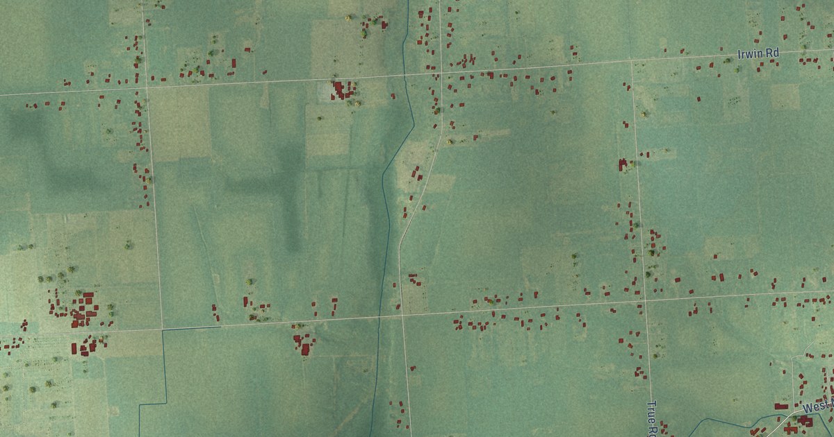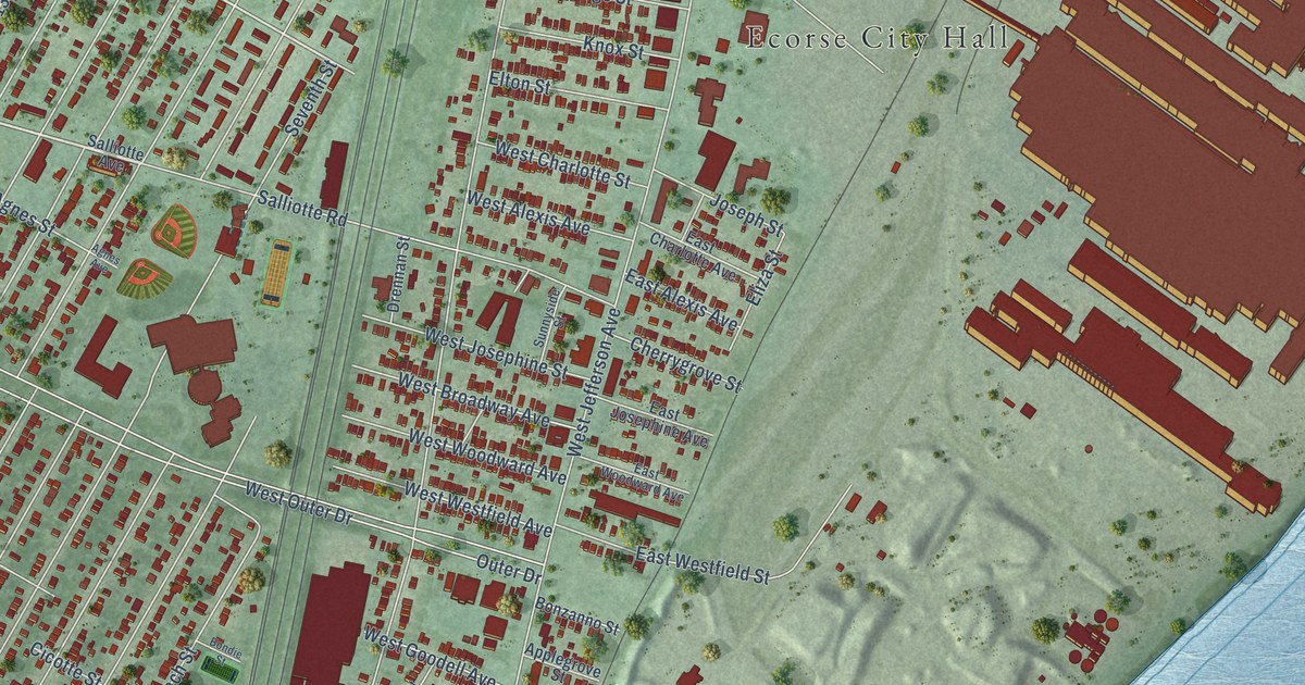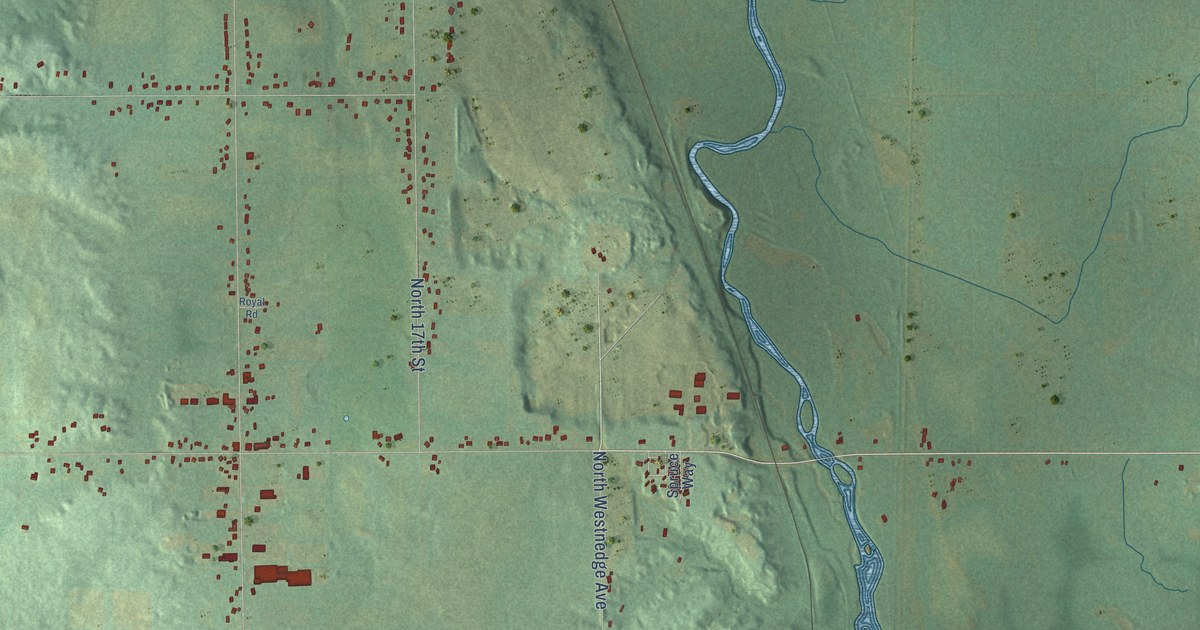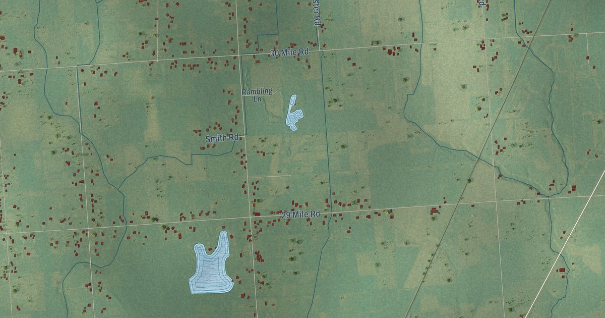
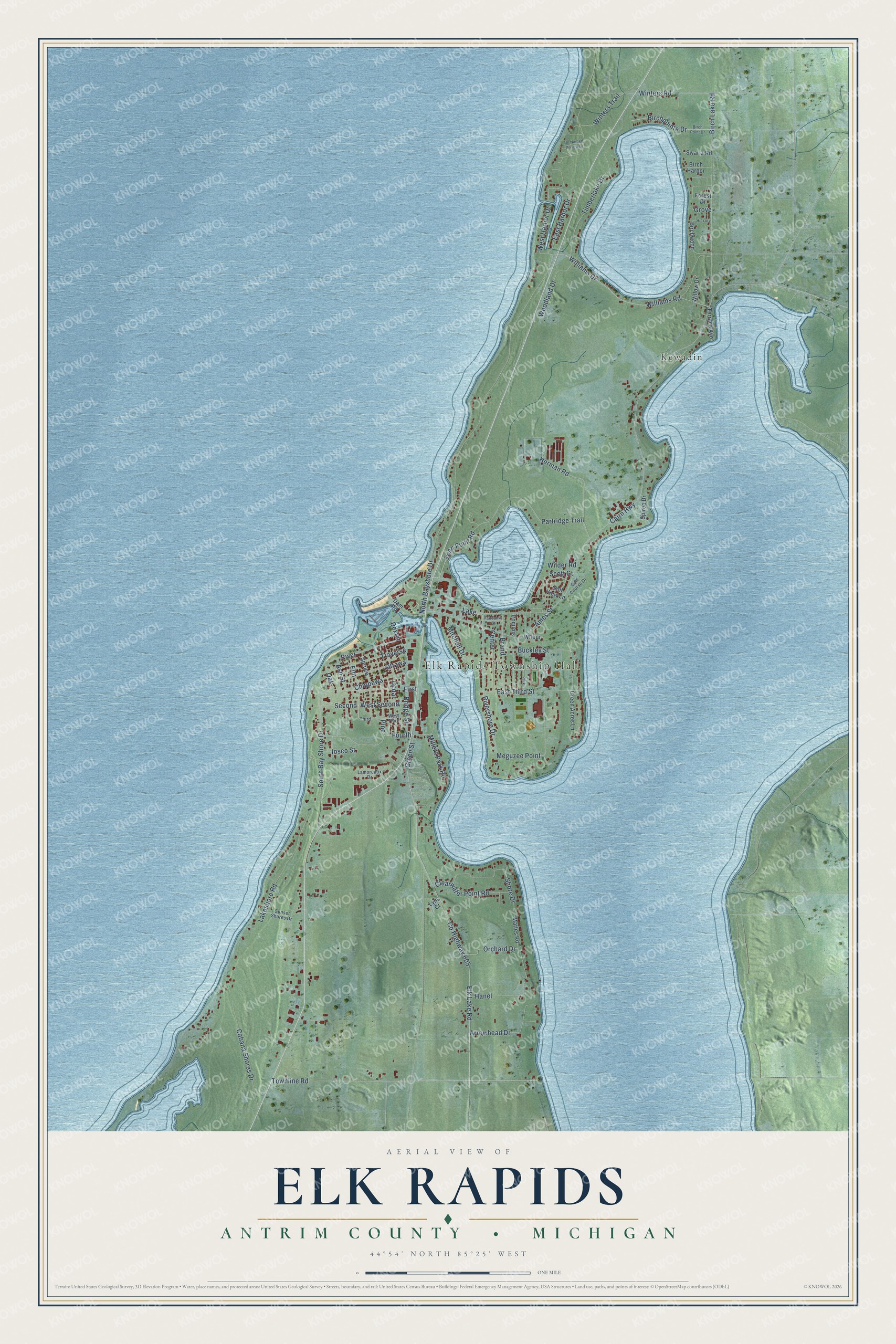
This beautifully detailed map of Elk Rapids, Michigan was created in 2026 using aerial imagery combined with modern topographical, census, street and landmark data. It's a modern aerial view of Elk Rapids in Antrim County, Michigan, that combines modern data with a vintage aesthetic. The roads feature printed names, and if you look closely you can find your exact house accurately shown in its correct location.
Explore an aerial view of Elk Rapids, Michigan
On this map you'll find Elk Rapids Township Hall, Kewadin, Williams Drive, West Second, Cairn Highway, Fourth, Swan Point Road, Ames Street, North Bayshore Drive, Co Highway 605, Elk Lake Road, Townline Road, and more. Each red shape is a building, so zoom in on the preview and look for yours.
Here is a piece of Elk Rapids history, in the words of the record. The record at arcgis.com puts it this way: "Peale and built in 1883 near the site where the earliest white settler, Abram Wadsworth had lived, the Elk Rapids Township Hall has served as a social and political center for over ninety years."
The Census Bureau counted 2,521 people here in 2020.
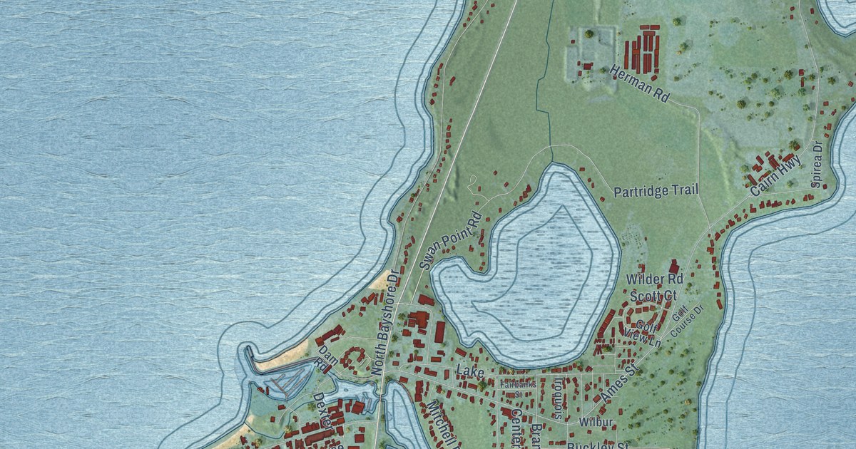
Take a closer look at the Elk Rapids map
Names on this map
These names are printed on this map.
Places: Elk Rapids Township Hall, Kewadin, Lake and Park.
Streets and roads: Williams Drive, West Second, Cairn Highway, Fourth, Swan Point Road, Ames Street, North Bayshore Drive, County Highway 605, Elk Lake Road, Townline Road, Birch Lake Road, Williams Road.
More street names, A to Z
Arrowhead Drive, Ash Street, Birch Harbor, Birch Point Drive, Birchpointe Drive, Birchwood, Brand, Bridge Street, Buckley Street, Cabana Shores Drive, Cedar, Center, Chippewa, Clearwater Point Road, Dam Road, Dexter, East Harbor Drive, East Third Street, Elm, Fairbanks Street, First, Forest Drive, Golf Course Drive, Golf View Lane, Green Acres Lane, Green Street, Grove, Hanel, Herman Road, Hickory, Iosco Street, Iroquois, Lakeshore Road, Lamoreaux Drive, Lyns Court, Mattes Road, Meguzee Point, Millers Park Road, Mitchell Drive, Oak, Orchard Drive, Ottawa, Partridge Trail, Pine, River, Rivershore Drive, Scott Court, Second, Shore Drive, South Bay Shore Drive, Spirea Drive, Spruce, Sunset Shores Drive, Swartz Road, Terrace Avenue, Third, Timberlake Drive, Traverse, Un Named Driveway, West Harbor Drive, West Third, Wilbur, Wilder Road, Willow Drive, Winters Road, Winters Trail, Woodland Drive.
Created by KNOWOL in 2026. The buildings are small red shapes, the roads carry their printed names, and shaded relief shows the shape of the land. The title panel reads "AERIAL VIEW OF ELK RAPIDS, ANTRIM COUNTY • MICHIGAN" with 44°54' NORTH 85°25' WEST.
It suits a den, a classroom or a front hall, and it makes a gift for anyone with Elk Rapids roots. Open the preview and find the block you know. See sizes and frames for the Elk Rapids, Antrim County map.