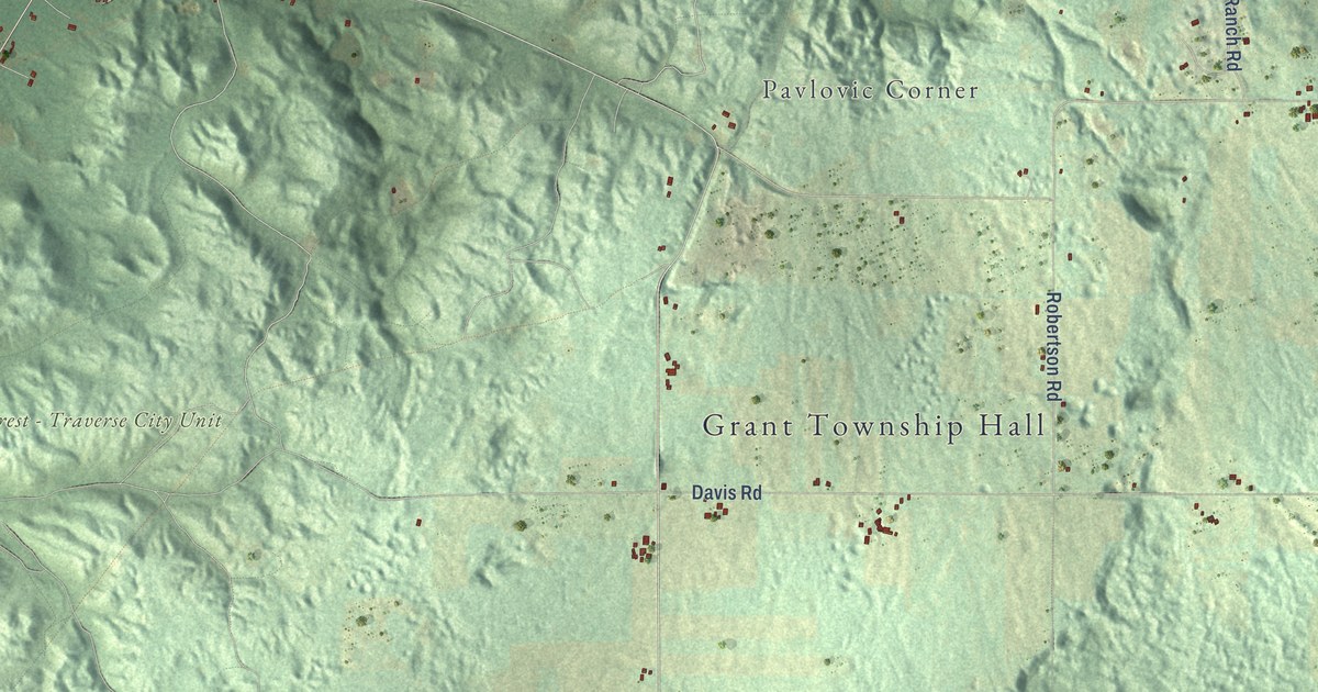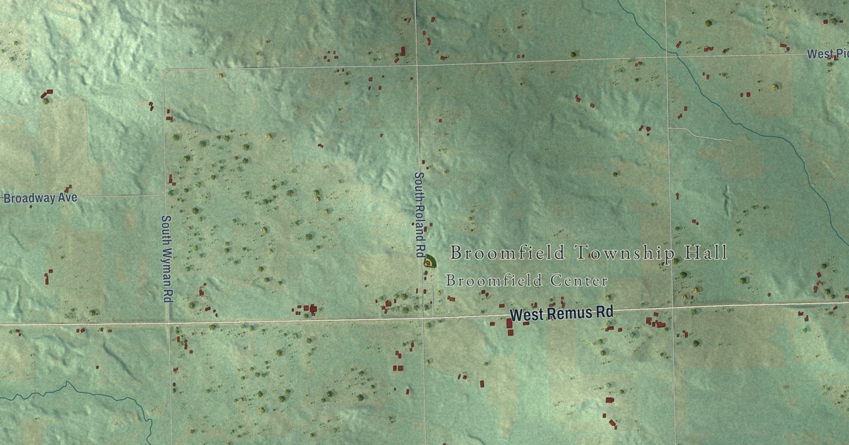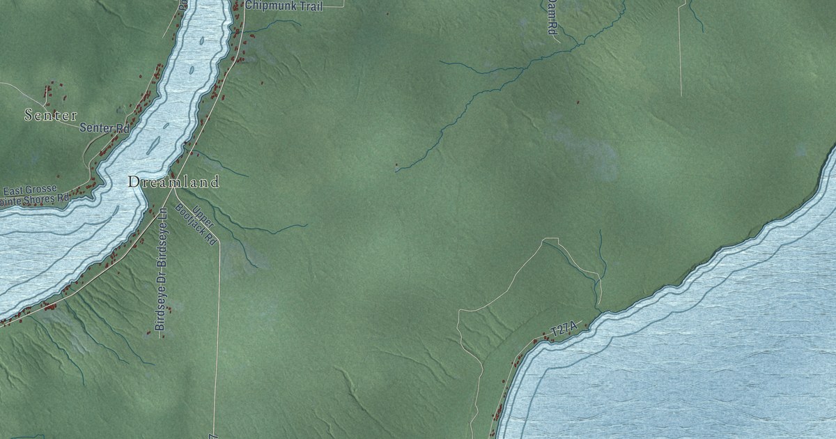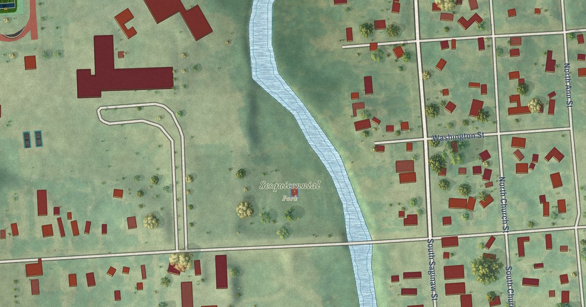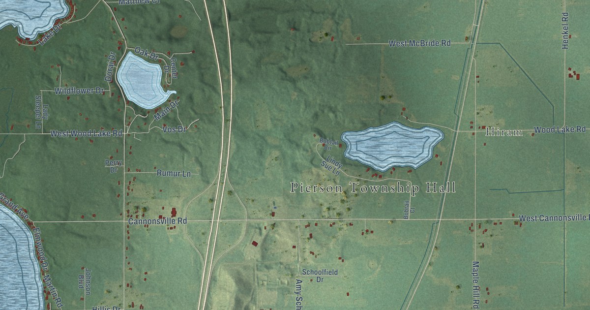
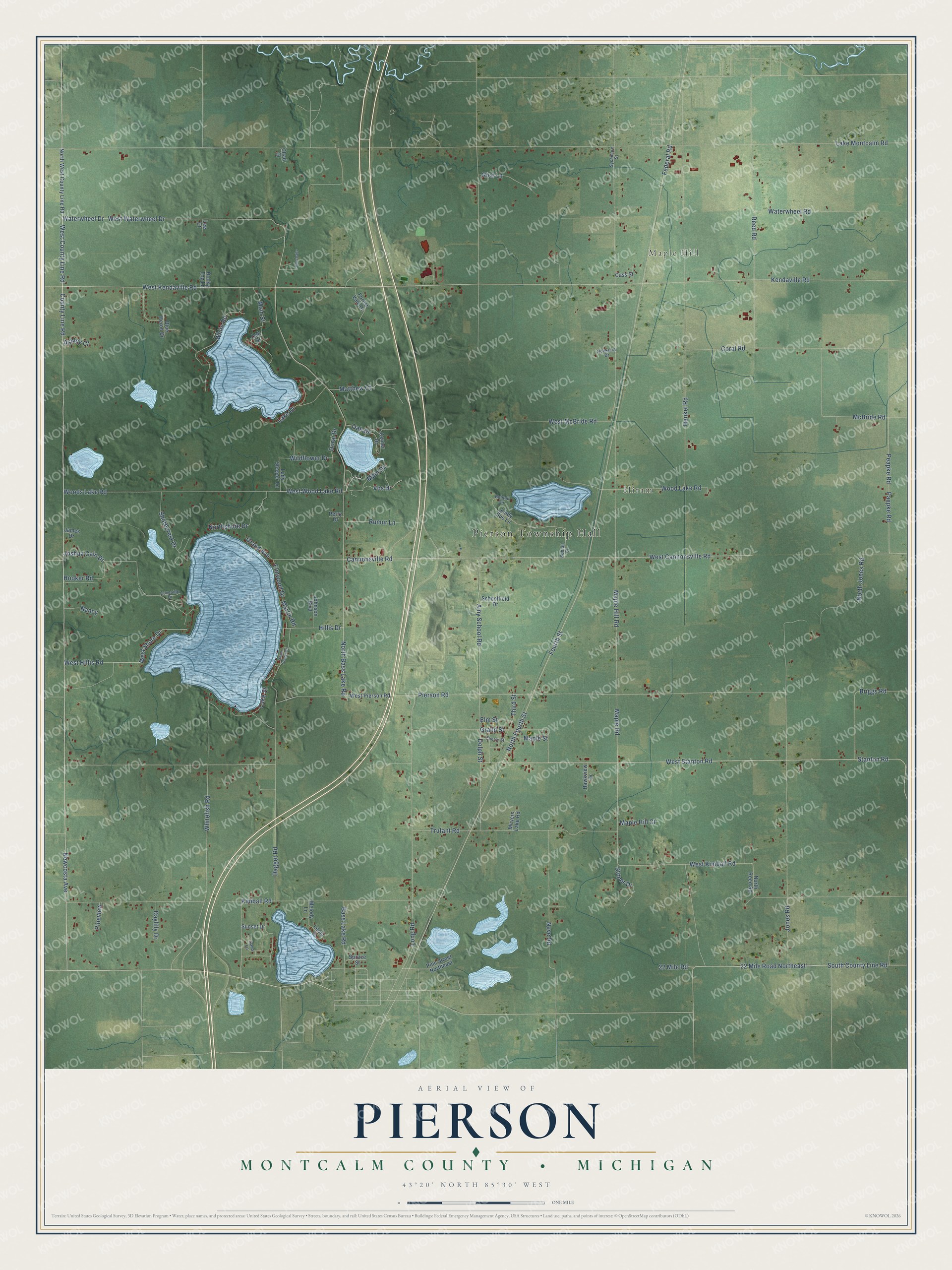
This beautifully detailed map of Pierson, Michigan was created in 2026 using aerial imagery combined with modern topographical, census, street and landmark data. It's a modern aerial view of Pierson in Montcalm County, Michigan, that combines modern data with a vintage aesthetic. The roads feature printed names, and if you look closely you can find your exact house accurately shown in its correct location.
Explore an aerial view of Pierson, Michigan
On this map you'll find Pierson Township Hall, Maple Hill, Hiram, 22 Mile Road, South County Line Road, 22 Mile Road Northeast, Newcosta Avenue, West County Line Road, North Fourth Street, Vos Drive, Cannonsville Road, Kimball Road, and more. Each red shape is a building, so zoom in on the preview and look for yours.
Here is a piece of Pierson history, in the words of the record. The History of Montcalm County puts it this way: "The first German church in this vicinity was the one built a mile west of the line in Pierson township, two and one-half miles south of Howard City."
The Census Bureau counted 3,363 people here in 2020.
Take a closer look at the Pierson map
Names on this map
These names are printed on this map.
Places: Pierson Township Hall, Maple Hill and Hiram.
Streets and roads: 22 Mile Road, South County Line Road, 22 Mile Road Northeast, Newcosta Avenue, West County Line Road, North Fourth Street, Vos Drive, Cannonsville Road, Kimball Road, North Bass Lake Road, West Stanton Road, Federal Road.
More street names, A to Z
Amy School Road, Ashley Court, Bass Lake Road, Blue Heron Drive, Bobtail Circle, Bobtail Court, Briggs Road, Cass Street, Center Drive, Chad Drive, Cherry Street, Coral Road, County Line Road, Coveside Drive, Dagget Road, Dana Lane, Daylilly Drive, Dolph Street, Dorai Drive, Elm Street, Elmwood Drive, Forest Vale Drive, Fourth Street, Grand Avenue, Grand Street, Hawkview Drive, Henkel Road, Hillis Drive, Hoekstra Drive, Hooker Road, James Drive, Johnson Boulevard, Jones Road, Joshua Cain Drive, Kendaville Road, Lady Sleeper Lane, Lake Drive, Lake Montcalm Road, Lake Street, Lee Court, Leota Drive, Lindy Sue Lane, Long Road, Main Drive, Main Street, Maple Hill Court, Maple Hill Road, Maple Road, Maple Street, Martin Road, Matthew Court, McBride Road, Melody Lane, Meyers Lake Road, Nancy, Neve Road, North Jones Road, North Reed Road, Northshore Drive, North West County Line Road, Oak Drive, Oak Street, Paepke Road, Peapke Road, Perry Drive, Pierson Road, Pine Street Northeast, Pineview, Reed Road, Rice Lane, Rocky Top Lane, Rumur Lane, Schoolfield Drive, Shorecrest Drive, South Center Court, Spruce Street, Stanton Road, Stoner Drive, Sunset Drive, Sycamore Street, Third Street, Trufant Road, Ubetchaits, Waterwheel Drive, Waterwheel Road, West Cannonsville Road, West Hillis Road, West Kendaville Road, West Kimball Road, West McBride Road, West Pierson Road, West Shore Drive, West Waterwheel Drive, West Wood Lake Road, Whitefish Road, White Road, Wildflower Drive, Wood Lake Road, Woods Lake Road.
Created by KNOWOL in 2026. The buildings are small red shapes, the roads carry their printed names, and shaded relief shows the shape of the land. The title panel reads "AERIAL VIEW OF PIERSON, MONTCALM COUNTY • MICHIGAN" with 43°20' NORTH 85°30' WEST.
It suits a den, a classroom or a front hall, and it makes a gift for anyone with Pierson roots. Open the preview and find the block you know. See sizes and frames for the Pierson, Montcalm County map.