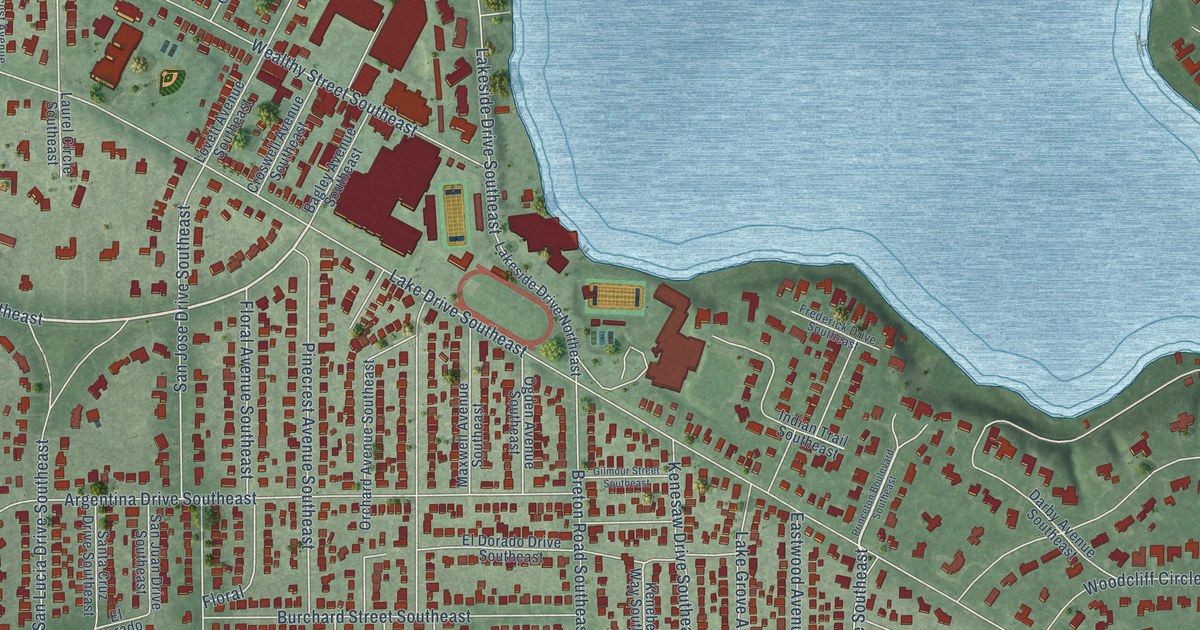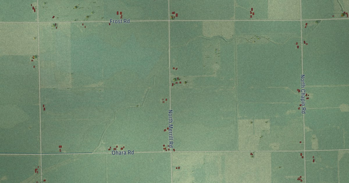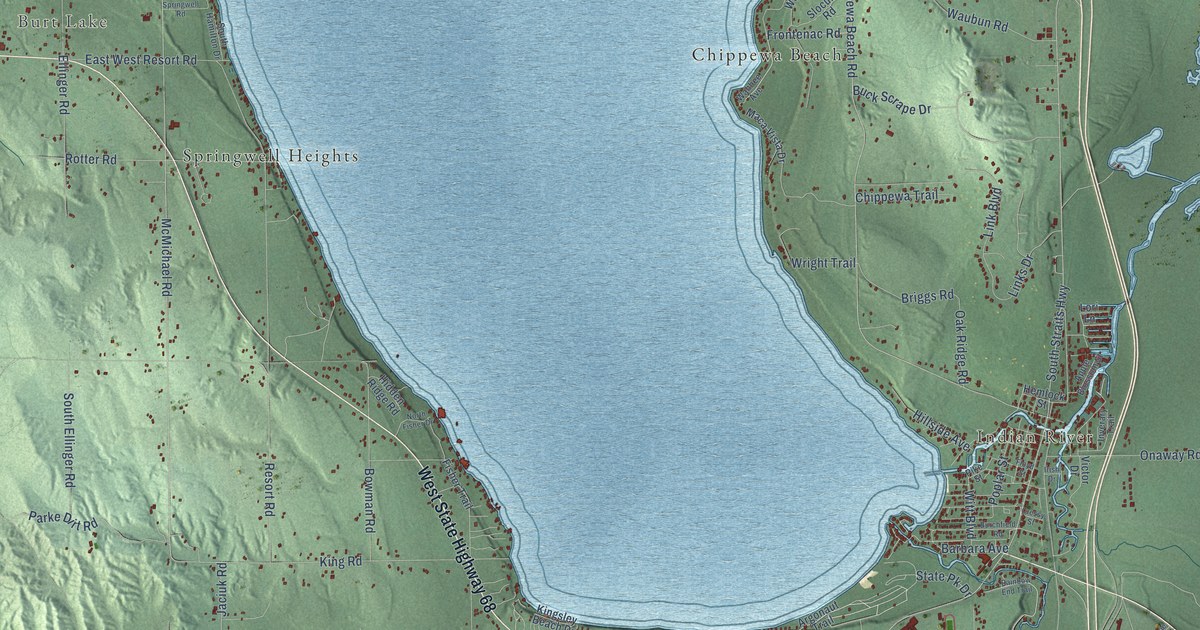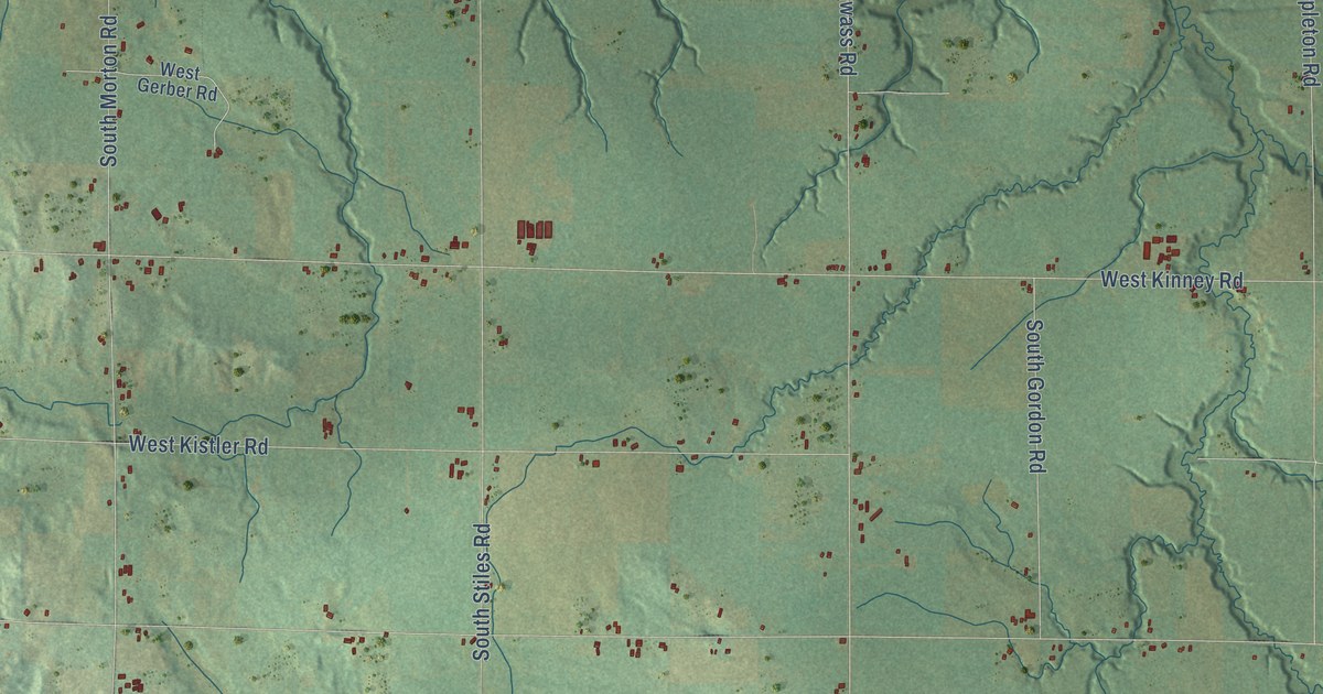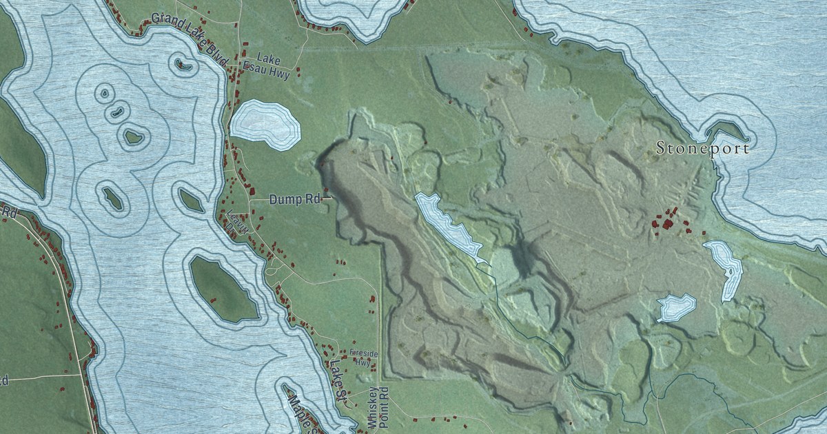
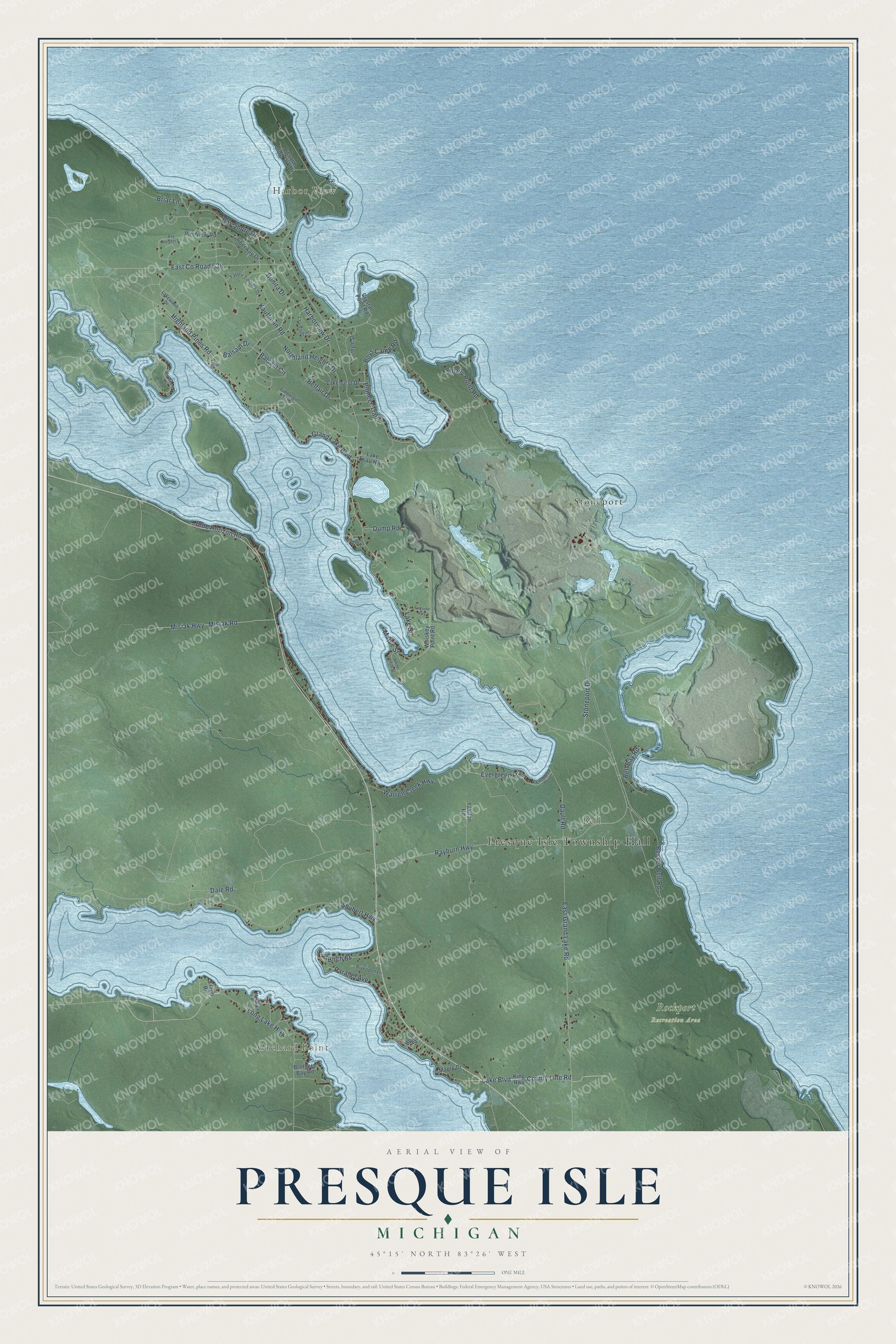
This beautifully detailed map of Presque Isle, Michigan was created in 2026 using aerial imagery combined with modern topographical, census, street and landmark data. It's a modern aerial view of Presque Isle in Presque Isle County, Michigan, that combines modern data with a vintage aesthetic. The roads feature printed names, and if you look closely you can find your exact house accurately shown in its correct location.
Explore an aerial view of Presque Isle, Michigan
On this map you'll find Presque Isle Township Hall, Orchard Point, Harbor View, Bell, Rockport Recreation Area, Stoneport, County Line Road, Lake Boulevard, Blue Horizon Road, Balsam Drive, Misiak Highway, Bell Bay Road, and more. Each red shape is a building, so zoom in on the preview and look for yours.
Presque Isle has a story worth telling. The record at arcgis.com puts it this way: "The lodge, placed in the National Register of Historic Places in 2008, is an example of rustic architecture popular in Michigan in the first half of the twentieth century."
The Census Bureau counted 1,698 people here in 2020.
Take a closer look at the Presque Isle map
Names on this map
These names are printed on this map.
Places: Presque Isle Township Hall, Orchard Point, Harbor View, Bell, Rockport Recreation Area and Stoneport.
Streets and roads: County Line Road, Lake Boulevard, Blue Horizon Road, Balsam Drive, Misiak Highway, Bell Bay Road, Pioneer Trail, East Grand Lake Road, Kauffman Road, Highland Pines Road, Stoneport Drive, Shubert Highway.
More street names, A to Z
Albany Point Road, Balsam Circle, Bay Heights Drive, Bay Shore Drive, Belfair Drive, Besser Bell Road, Birch Street, Bonita Drive, Boyd Street, Boys Camp Road, Briar Lane, Brothers Bay Road, Crystal Point Road, Dale Road, Dault Road, Doyle Drive, Dump Road, East County Road 638, Evergreen Highway, Evergreen Road, Fallen Timbers Drive, Fireside Highway, Grand Lake Boulevard, Harborview Drive, King Highway, Lake Esau Highway, Lakehurst Drive, Lake Street, Lakewood Drive, Laurelhill Circle, Leavitt Drive, Long Lake Highway, Maple Drive, Maple Street, Mar-Ral Road, McCreery Drive, Misiak Road, Northland Heights Drive, Parallel Avenue, Pine Street, Pineview Road, Presque Isle Park Drive, Rayburn Highway, Rivendell Lane, Timbergill Trail, Timberway Drive, Trapp Road, Warren Creek Highway, Whiskey Point Road, White Birch Street, Yakitan Road.
Created by KNOWOL in 2026. The buildings are small red shapes, the roads carry their printed names, and shaded relief shows the shape of the land. The title panel reads "AERIAL VIEW OF PRESQUE ISLE, MICHIGAN" with 45°15' NORTH 83°26' WEST.
It looks right in a kitchen, an office or a den, and it's a gift for anyone who grew up in Presque Isle or moved away. Open the preview and find your street. See sizes and frames for the Presque Isle map.