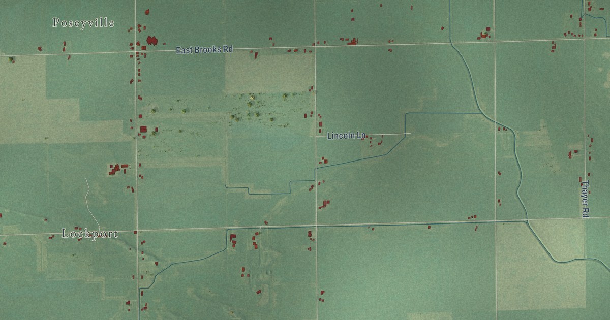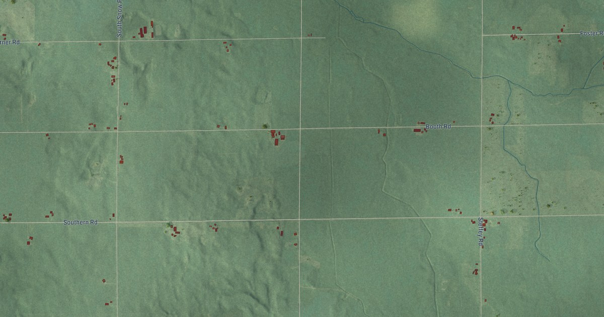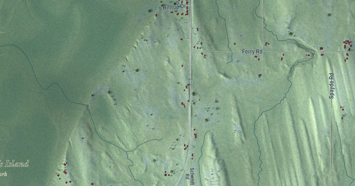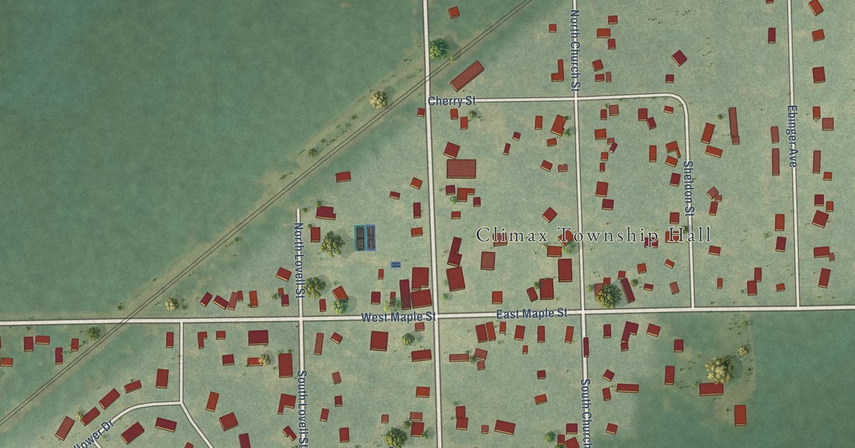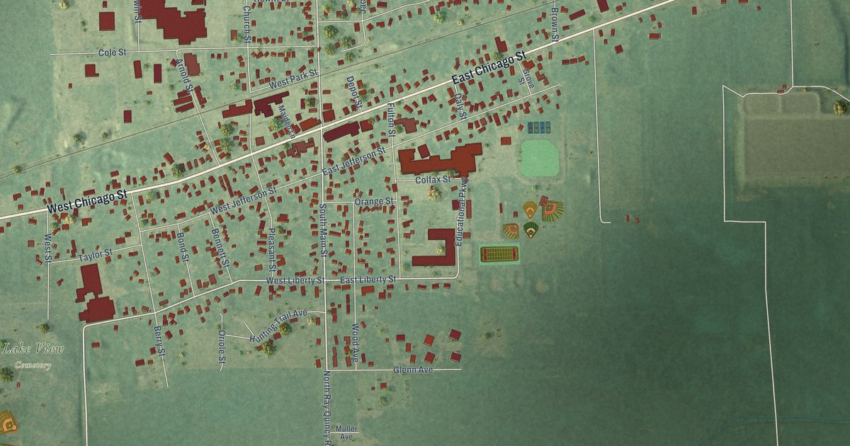
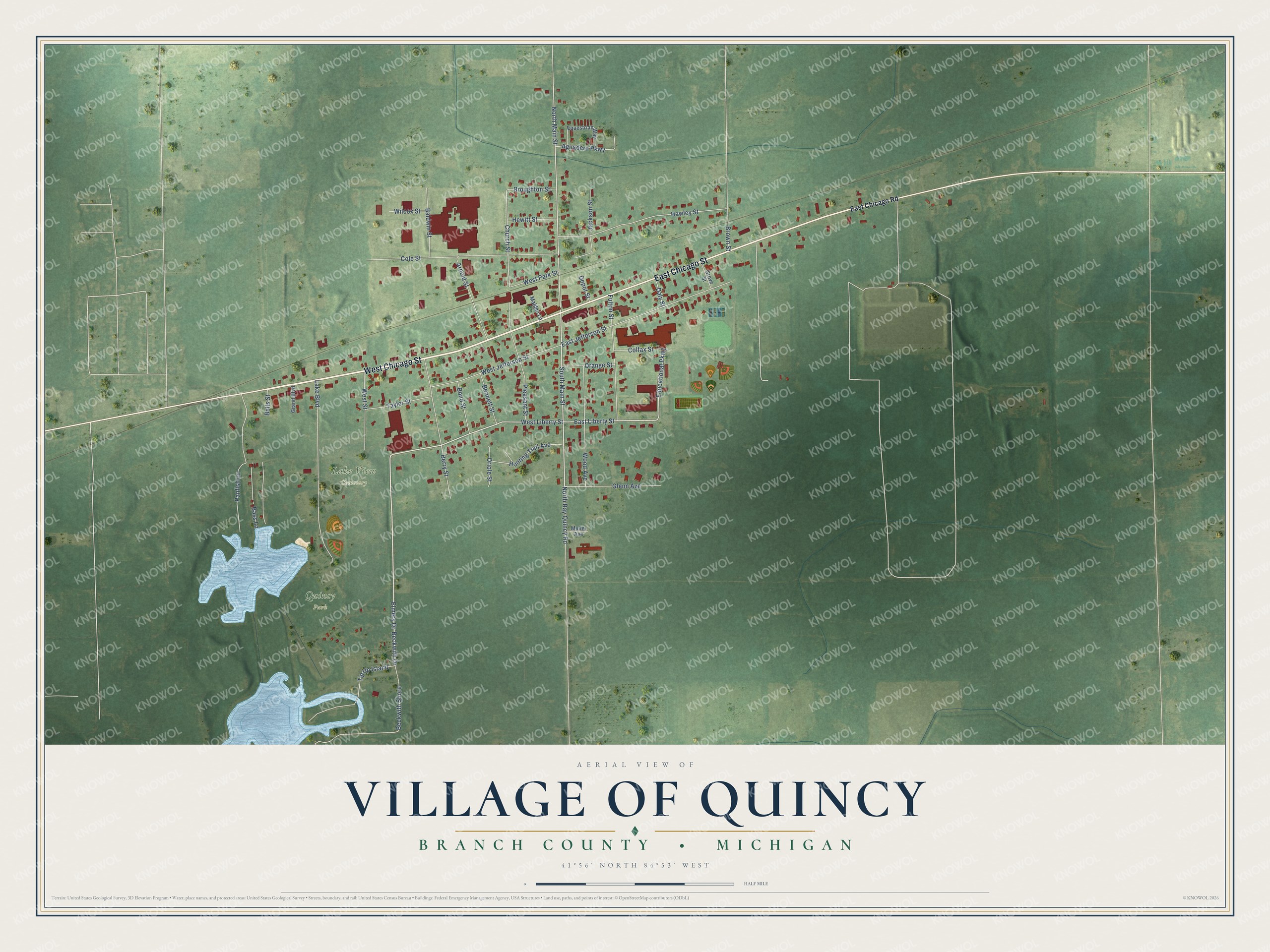
This beautifully detailed map of Quincy, Michigan was created in 2026 using aerial imagery combined with modern topographical, census, street and landmark data. It's a modern aerial view of Quincy in Branch County, Michigan, that combines modern data with a vintage aesthetic. The roads feature printed names, and if you look closely you can find your exact house accurately shown in its correct location.
Explore an aerial view of Quincy, Michigan
On this map you'll find Lake View Cemetery, Quincy Park, West Chicago Street, East Chicago Street, Elmers Drive, South Main Street, West Liberty Street, East Liberty Street, North Main Street, Educational Parkway, Church Street, Cole Street, and more. Each red shape is a building, so zoom in on the preview and look for yours.
Quincy has a story worth telling. The Twentieth Century History of Branch County puts it this way: "No doubt the great impulse to growth was given by the railroad, which was built through the site of Quincy in 1850. It is said that, had not the enterprise of several citizens intervened to prevent, Quincy would not have been made a station on the railroad, but the station would have been located several miles east on the county line."
Quincy is a village in Branch County. The Census Bureau counted 1,554 people here in 2020.
Take a closer look at the Quincy map
Names on this map
These names are printed on this map.
Places: Lake View Cemetery and Quincy Park.
Streets and roads: West Chicago Street, East Chicago Street, Elmers Drive, South Main Street, West Liberty Street, East Liberty Street, North Main Street, Educational Parkway, Church Street, Cole Street, Lake Boulevard, East Jefferson Street.
More street names, A to Z
Aguadero Parkway, Arnold Street, Baldwin Street, Bass Lane, Beckwith Drive, Beckwith Shore, Bells Street, Bennett Street, Berry Street, Bond Street, Broughton Street, Brown Street, Colfax Street, Daly Street, Depot Street, East Chicago Road, Equestrian Way, Fulton Street, Glenn Avenue, Grand Boulevard, Grove Street, Hawley Street, Hewitt Street, Hunting Trail Avenue, Jackson Street, Maiden Lane, Muller Avenue, North Ray Quincy Road, Orange Street, Oriole Street, Panfish Lane, Pleasant Street, Taylor Street, Tip Up Island, West Jefferson Street, West Park Street, West Street, Wilcox Street, Wood Avenue.
Created by KNOWOL in 2026. The buildings are small red shapes, the roads carry their printed names, and shaded relief shows the shape of the land. The title panel reads "AERIAL VIEW OF VILLAGE OF QUINCY, BRANCH COUNTY • MICHIGAN" with 41°56' NORTH 84°53' WEST.
It looks right in a kitchen, an office or a den, and it's a gift for anyone who grew up in Quincy or moved away. Open the preview and find your street. See sizes and frames for the Quincy map.