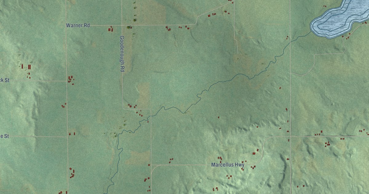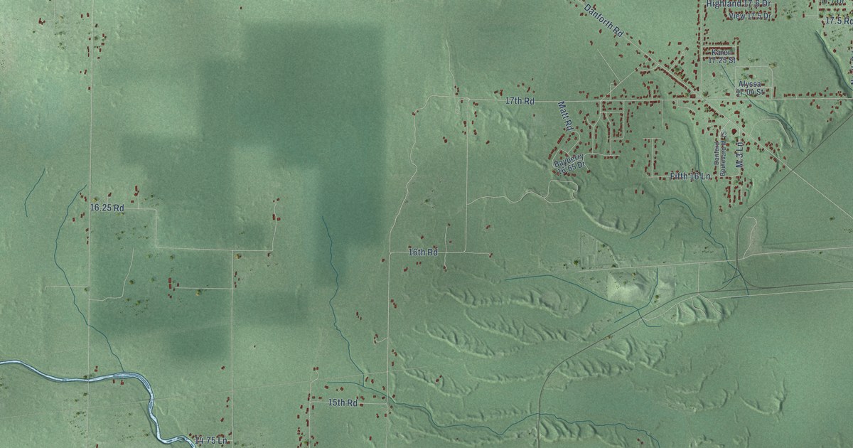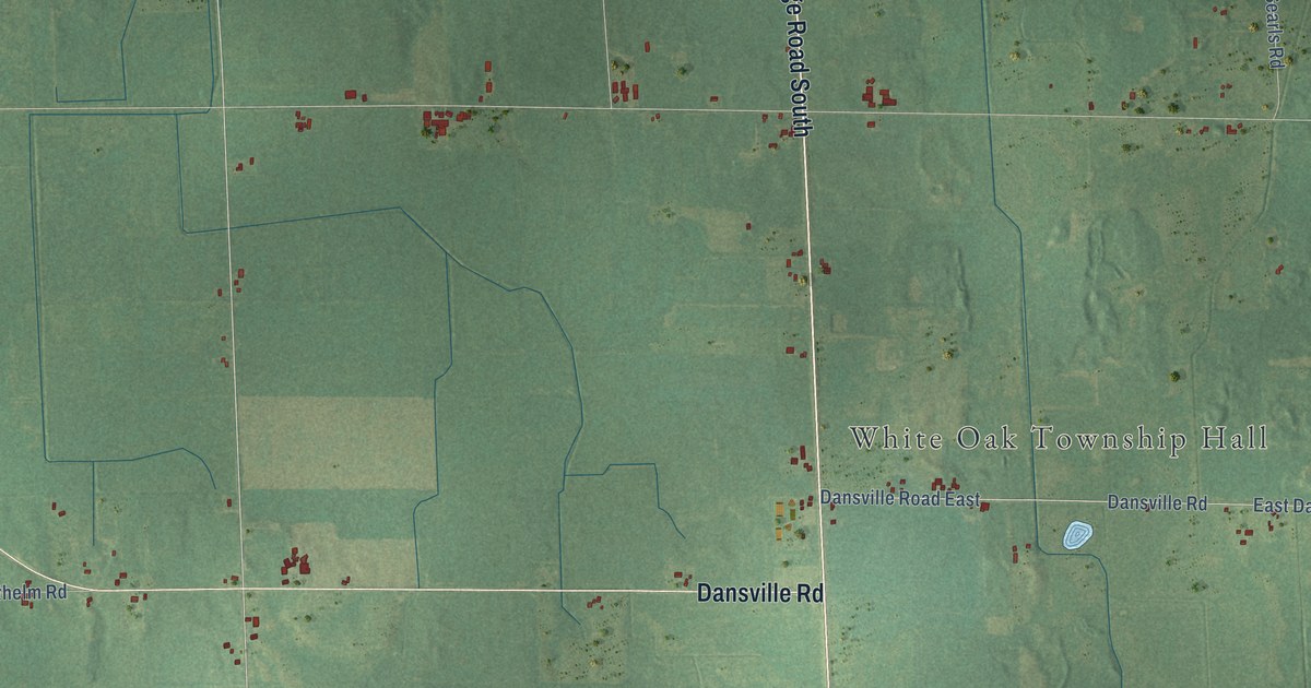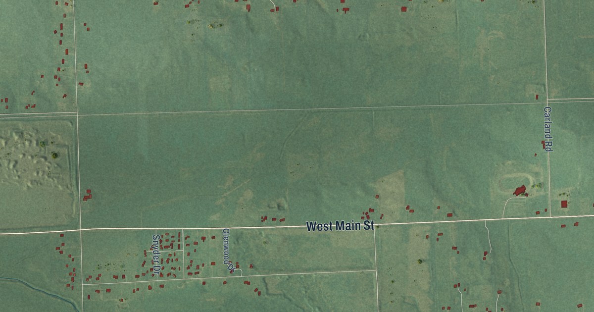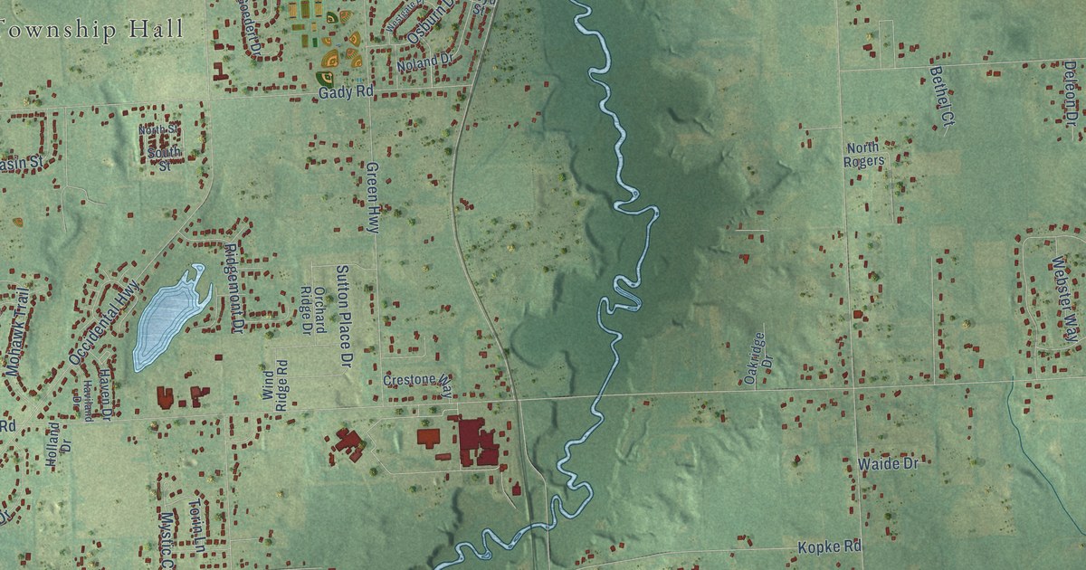
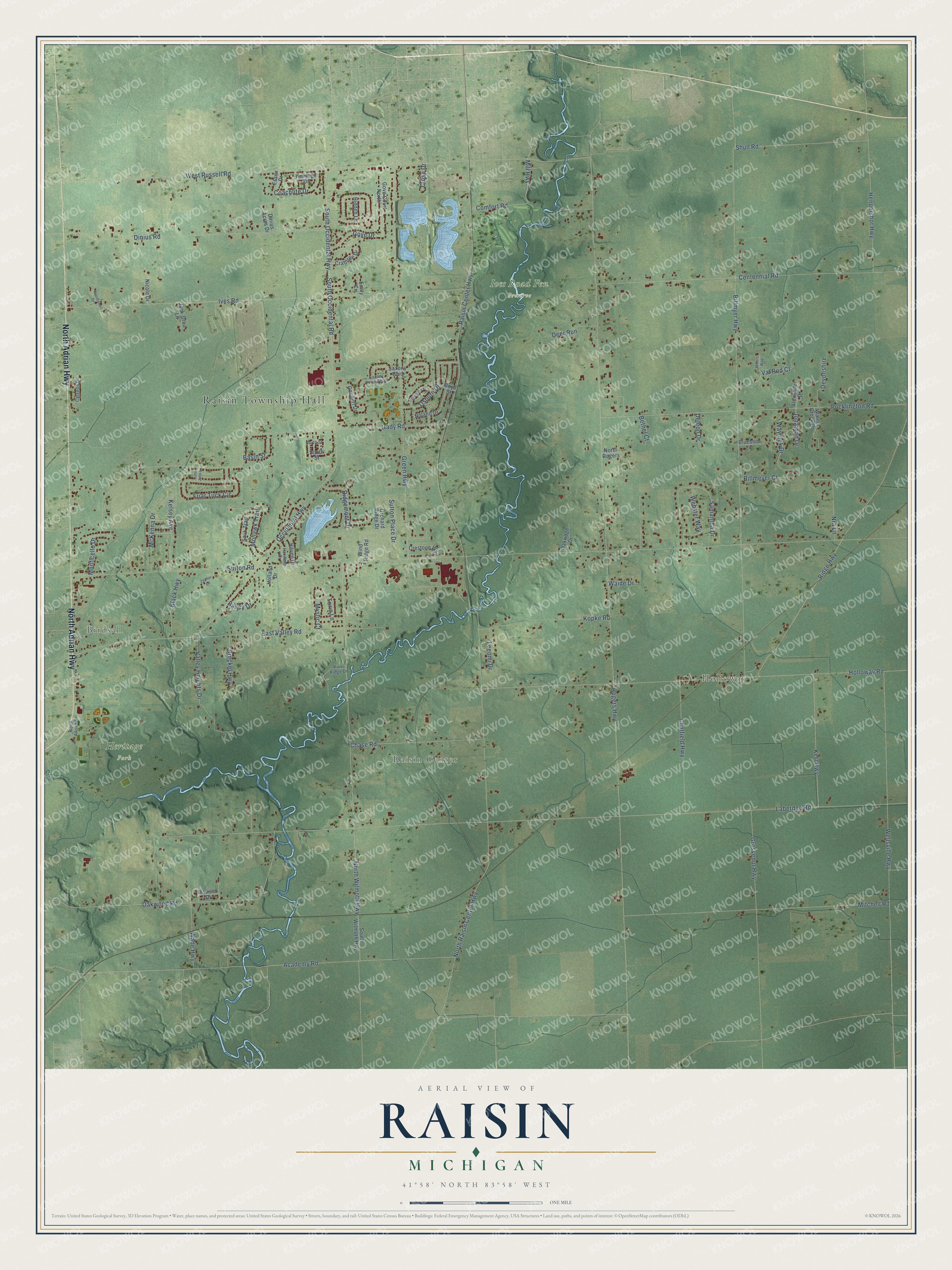
This beautifully detailed map of Raisin, Michigan was created in 2026 using aerial imagery combined with modern topographical, census, street and landmark data. It's a modern aerial view of Raisin in Lenawee County, Michigan, that combines modern data with a vintage aesthetic. The roads feature printed names, and if you look closely you can find your exact house accurately shown in its correct location.
Explore an aerial view of Raisin, Michigan
On this map you'll find Raisin Township Hall, Birdsall, Holloway, Raisin Center, Heritage Park, Ives Road Fen Preserve, North Adrian Highway, West Russell Road, South Occidental Highway, Mill Highway, Sutton Road, Laberdee Road, and more. Each red shape is a building, so zoom in on the preview and look for yours.
Every town has a first chapter, and Raisin is no exception. The Memoirs of Lenawee County puts it this way: "The first settlement of the present township of Raisin was in the west or main part and was included in the settlement of Darius Comstock and his associate Friends. The eastern part of the town did not begin to be settled until 1830."
The Census Bureau counted 7,900 people here in 2020.
Take a closer look at the Raisin map
Names on this map
These names are printed on this map.
Places: Raisin Township Hall, Birdsall, Holloway, Raisin Center, Heritage Park and Ives Road Fen Preserve.
Streets and roads: North Adrian Highway, West Russell Road, South Occidental Highway, Mill Highway, Sutton Road, Laberdee Road, Rogers Highway, Billmyer Highway, Gady Road, North Raisin Center Highway, Holloway Road, Ives Road.
More street names, A to Z
Academy Road, Alexander Drive, Bailey Drive, Basin Street, Bethel Court, Billmeyer Court, Black Highway, Bluebird Lane, Boyd Street, Breckel Highway, Catawba Drive, Centennial Road, Chase Road, Chatfield Highway, Close Drive, Coachlite Drive, Comfort Road, Crabtree Drive, Crestone Way, Dawson Drive, Deer Run, Deleon Drive, Devonshire, Dinius Acres Drive, Dinius Road, East Valley Road, Emily Circle, Essex Drive, Friar Tuck Circle, Goedert Drive, Gove Court North, Gove Drive, Green Highway, Grosvenor Highway, Haven Drive, Haviland Drive, Hendershot Highway, Heritage Drive, Hidden Lane, Holland Drive, Jack-Drou Lane, Jonathan Drive, Kelsey Avenue, Kerr Highway, Kopke Road, Leeomi Drive, Little John Lane, McKenna Drive, Millers Way, Mitchell Road, Mohawk Trail, Monticello Drive, Mystic Court, Nicole Drive, Noland Drive, North Adrian Drive, North Rogers, North Street, North Wilmoth Highway, Nra Lane, Oakridge Drive, Oakwood Road, Occidental Highway, Orchard Ridge Drive, Osburn Drive, Pine Ridge Drive, Pocklington Road, Raisin Center Highway, Ridge Highway, Ridgemont Drive, Samantha Drive, Sauk Trail, Saxony Boulevard, Saxony Drive South, Shull Road, South Occidental Road, South Street, South Wilmoth Highway, Sutton Place Drive, Torin Lane, Valley Heights Drive, Val Rod Court, Wade Highway, Waide Drive, Walnut Creek Drive, Waynick Drive, Webster Way, Wellsville Highway, Westgate Place, Wind Ridge Road, Woodland Drive, Zepher Drive.
Created by KNOWOL in 2026. The buildings are small red shapes, the roads carry their printed names, and shaded relief shows the shape of the land. The title panel reads "AERIAL VIEW OF RAISIN, MICHIGAN" with 41°58' NORTH 83°58' WEST.
Hang it in the hallway, the office or the cabin, or give it to someone who left Raisin and still calls it home. Open the preview and look for a street you know. See sizes and frames for the Raisin map.