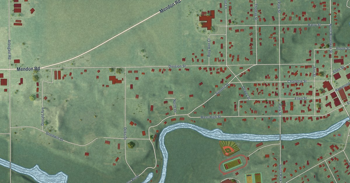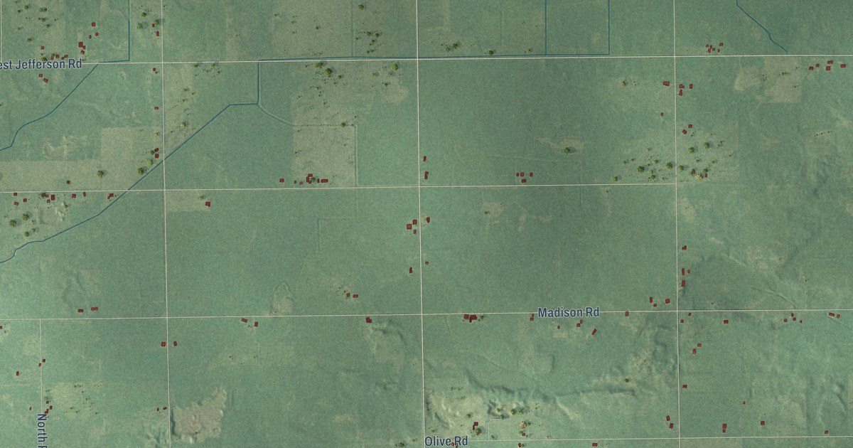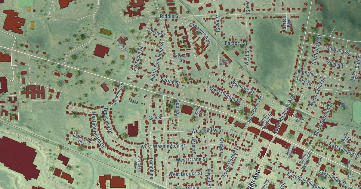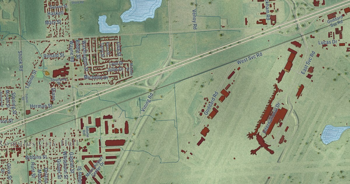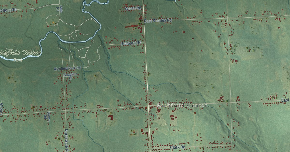
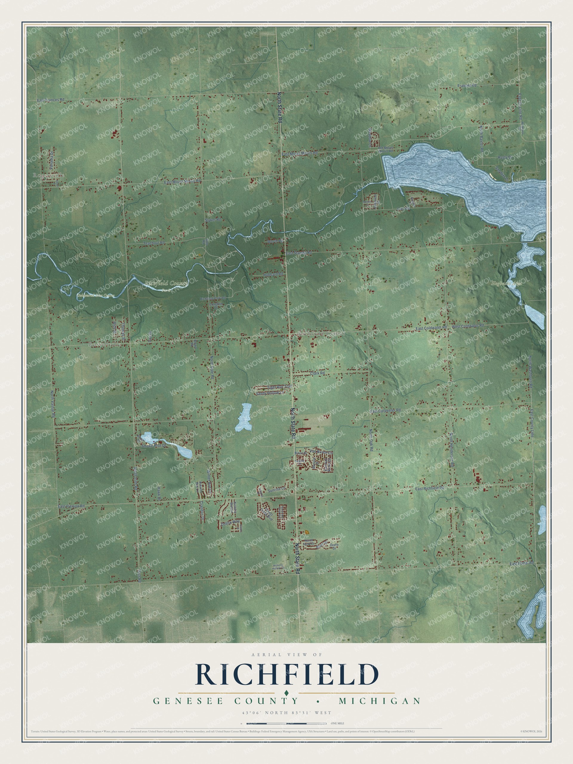
This beautifully detailed map of Richfield, Michigan was created in 2026 using aerial imagery combined with modern topographical, census, street and landmark data. It's a modern aerial view of Richfield in Genesee County, Michigan, that combines modern data with a vintage aesthetic. The roads feature printed names, and if you look closely you can find your exact house accurately shown in its correct location.
Explore an aerial view of Richfield, Michigan
On this map you'll find Rogersville, Russellville, Richfield Center, Goldenrod Disc Course, Hogbacks Area, Richfield County Park, North State Road, West Coldwater Road, East County Line, East Mount Morris Road, Irish Road, North Irish Road, and more. Each red shape is a building, so zoom in on the preview and look for yours.
Every town has a first chapter, and Richfield is no exception. The History of Genesee County puts it this way: "At the time of settlement the town of Richfield was a part of Lapeer County, and embraced within its limits the present towns of Forest and Richfield and the north half of Davison. It was set off from Lapeer and attached to Genesee County in 1843."
The Census Bureau counted 8,991 people here in 2020.
Take a closer look at the Richfield map
Names on this map
These names are printed on this map.
Places: Rogersville, Russellville, Richfield Center, Goldenrod Disc Course, Hogbacks Area and Richfield County Park.
Streets and roads: North State Road, West Coldwater Road, East County Line, East Mount Morris Road, Irish Road, North Irish Road, East Richfield Road, East Potter Road, North Oak Road, North Henderson Road, North Gale Road, East Coldwater Road.
More street names, A to Z
Arrow Court, Autumn Hue Lane, Baltour Drive, Barton Drive, Brown Road, Carr Road, Clark Road, Coe Drive, Coughlin Drive, Crandon Drive, Deere Drive, Dublin Way, East Carpenter Road, East County Line Road, East Frances Road, East Pierson Road, East Stanley Road, East Van Buren Circle, Forest Creek Boulevard, Frances Road, Gale Road, Harding Drive, Hawk Drive, Hickory Hollow Court, Horizon Drive, Hubbard Road, Hunt Drive, Lanewood Drive, Meadow Lane, Melanie Lane, Monroe Drive, Newport Drive, Nixon Drive, North Baxter Road, North Forest Creek Boulevard, North Hunt Court, North Vassar Road, North Washburn Road, Old Mount Morris Road, Richfield Park Road, Rich Street, Rusty Drive, Sanders Drive, Sandy Hollow Lane, Slyker Road, Smoke Rise Drive, Sunrise Lane, Teachout Road, Thomas Street, Tiger Run Trail, Vanadia Drive, Van Buren Circle, Victoria Station, Washburn Road, Winter Hue Lane, Worth Road.
Created by KNOWOL in 2026. The buildings are small red shapes, the roads carry their printed names, and shaded relief shows the shape of the land. The title panel reads "AERIAL VIEW OF RICHFIELD, GENESEE COUNTY • MICHIGAN" with 43°06' NORTH 83°31' WEST.
Hang it in the hallway, the office or the cabin, or give it to someone who left Richfield and still calls it home. Open the preview and look for a street you know. See sizes and frames for the Richfield, Genesee County map.