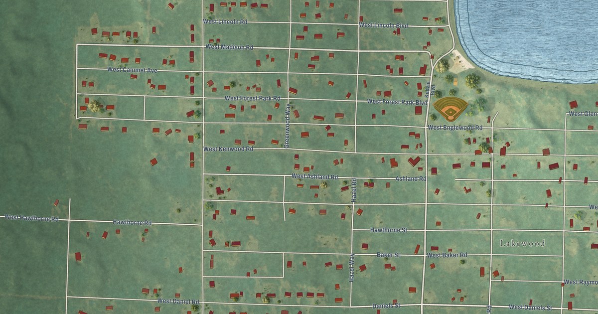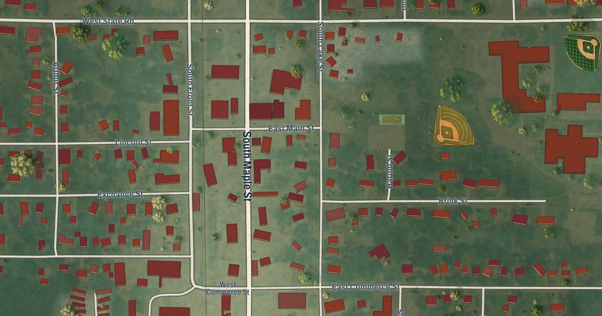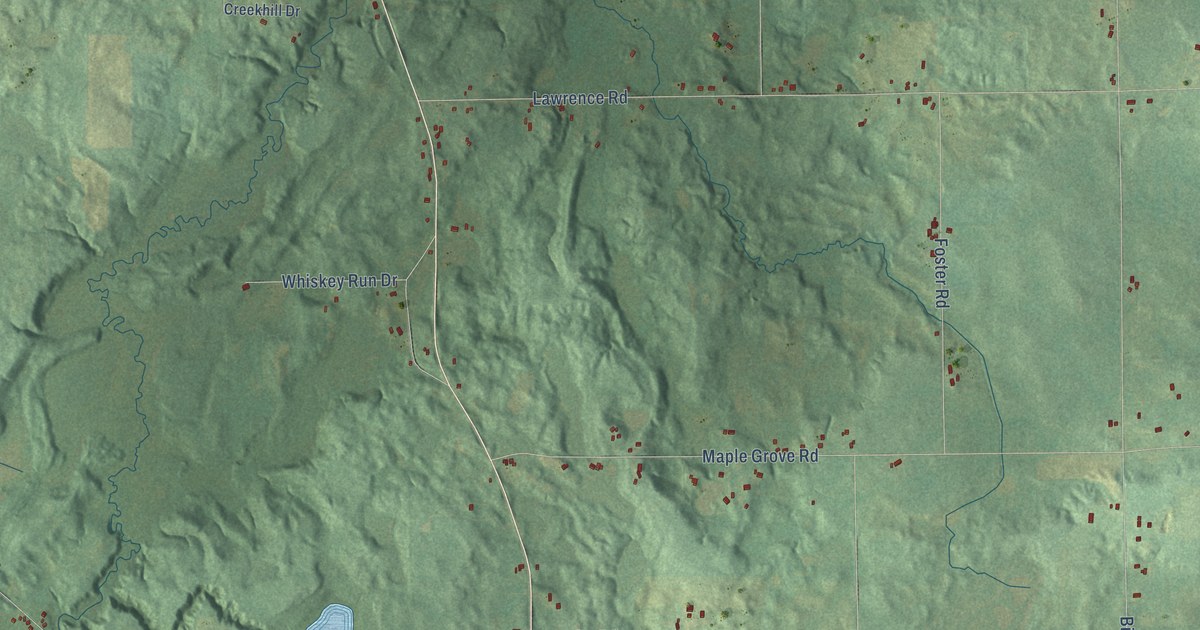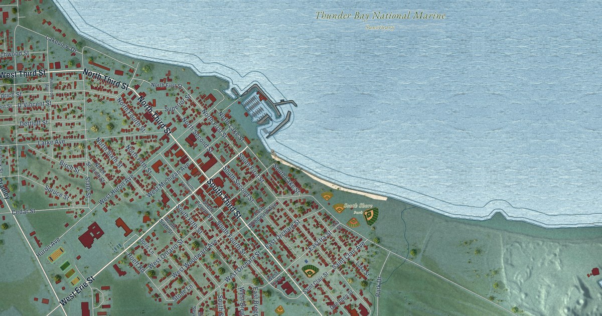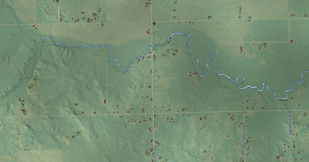
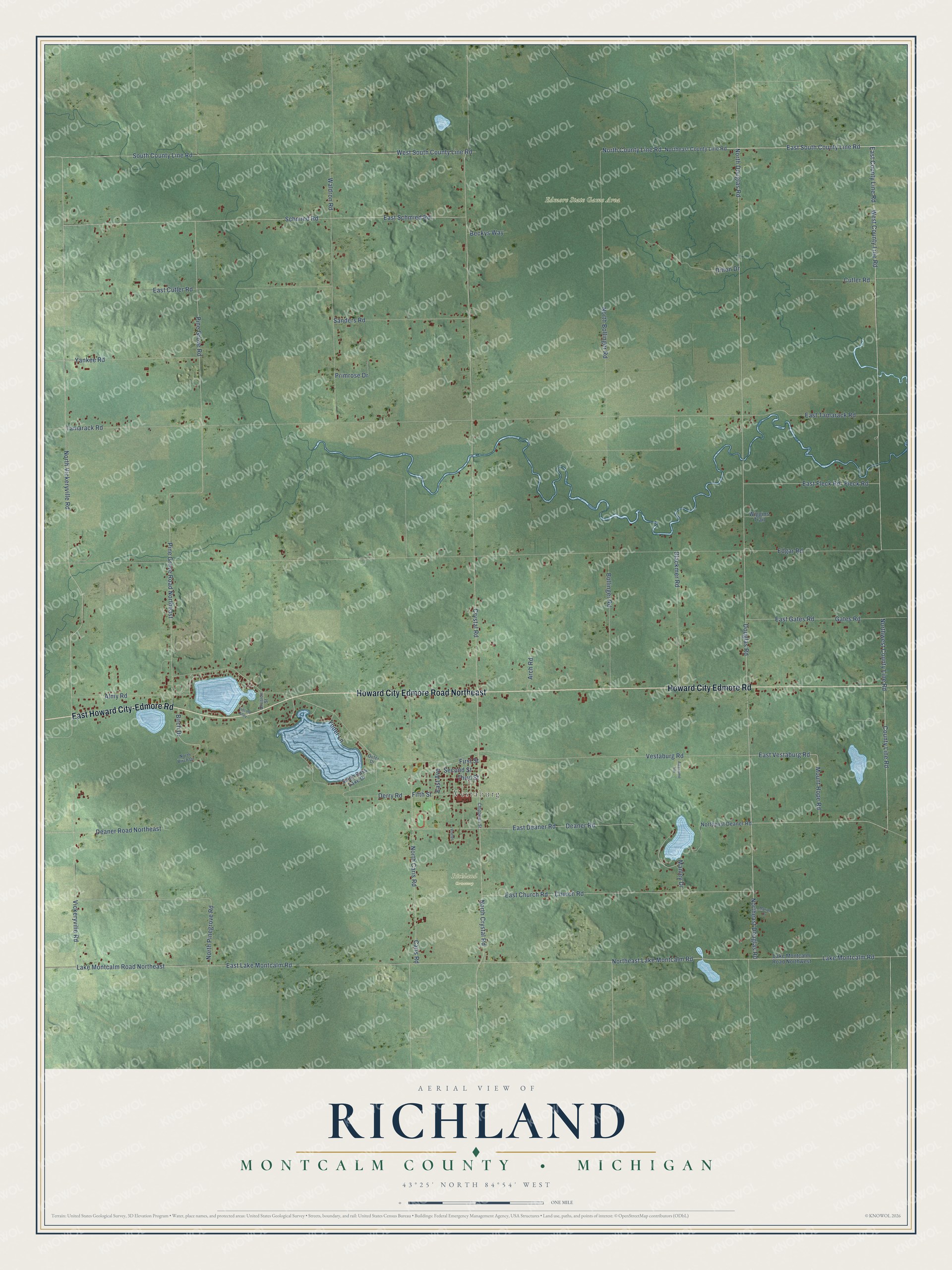
This beautifully detailed map of Richland, Michigan was created in 2026 using aerial imagery combined with modern topographical, census, street and landmark data. It's a modern aerial view of Richland in Montcalm County, Michigan, that combines modern data with a vintage aesthetic. The roads feature printed names, and if you look closely you can find your exact house accurately shown in its correct location.
Explore an aerial view of Richland, Michigan
On this map you'll find Vestaburg, Edmore State Game Area, Richland Cemetery, Howard City Edmore Road, Howard City Edmore Road Northeast, East Howard City-Edmore Road, North Douglas Road, County Line Road, East South County Line Road, Northeast Douglas Road, Douglas Road, East County Line Road, and more. Each red shape is a building, so zoom in on the preview and look for yours.
Richland has a story worth telling. The History of Montcalm County puts it this way: "The name chosen was Richland, and the first election was held at the house of Joshua Painter, with Jacob B. Schoonover, John F. Evans and Samuel Zink acting as election judges."
The Census Bureau counted 2,646 people here in 2020.
Take a closer look at the Richland map
Names on this map
These names are printed on this map.
Places: Vestaburg, Edmore State Game Area and Richland Cemetery.
Streets and roads: Howard City Edmore Road, Howard City Edmore Road Northeast, East Howard City-Edmore Road, North Douglas Road, County Line Road, East South County Line Road, Northeast Douglas Road, Douglas Road, East County Line Road, West County Line Road, Lake Montcalm Road, Northeast Lake Montcalm Road.
More street names, A to Z
Almy Road, Arch Road, Awesome Avenue, Beckys Way, Birch Drive, Blackmer Road, Bollinger Road, Caris Road, Chippewa Street, Church Road, Crystal Road, Cutler Road, Deaner Road, Deaner Road Northeast, Derry Road, Dillon Drive, Division Street, East Avenue, East Church Road, East Cutler Road, East Deaner Road, East Fleck Road, East Gates Road, East Lake Montcalm Road, East Schmied Road, East Tamarack Road, East Vestaburg Road, Edgar Road, Fifth Street, First Street, Fleck Road, Gates Road, Lake Montcalm Road Northeast, Lake Montcalm Road Northwest, Lincoln Alley, Manley Drive, Marion Drive, Mount Hope Road, North Birch Drive, North Bollinger Road, North Caris Road, North County Line Road, North Crystal Road, Northeast County Line Road, Northeast Deaner Road, North Pinegrove Road, North Vickeryville Road, Northwest County Line Road, Outer Drive, Phelps, Pine Grove Road, Pine Grove Road Northeast, Primrose Drive, Sanders Road, Schmied Road, Second Street, South Bass Lake Drive, South County Line Road, Tamarack Road, Third Street, Vestaburg Road, Vickeryville Road, Waldron Road, West South County Line Road, Wiggins Trail, Yankee Road, Yoder Lane.
Created by KNOWOL in 2026. The buildings are small red shapes, the roads carry their printed names, and shaded relief shows the shape of the land. The title panel reads "AERIAL VIEW OF RICHLAND, MONTCALM COUNTY • MICHIGAN" with 43°25' NORTH 84°54' WEST.
It looks right in a kitchen, an office or a den, and it's a gift for anyone who grew up in Richland or moved away. Open the preview and find your street. See sizes and frames for the Richland, Montcalm County map.