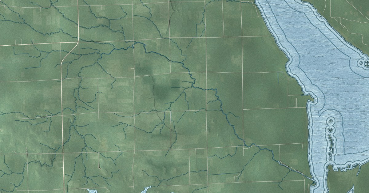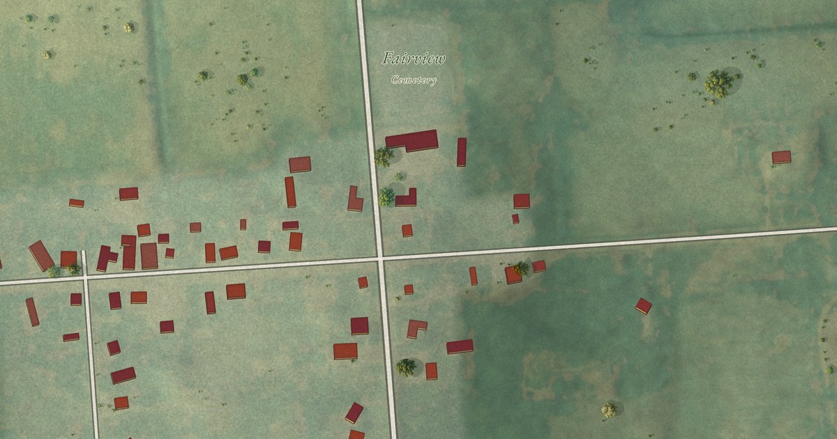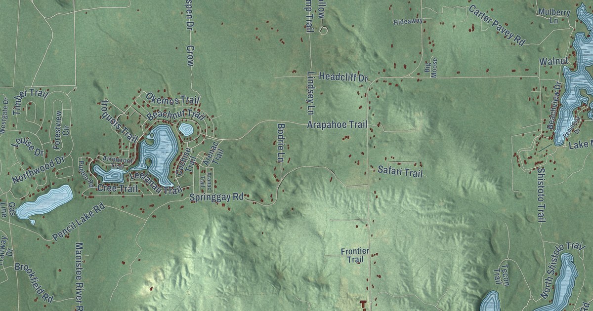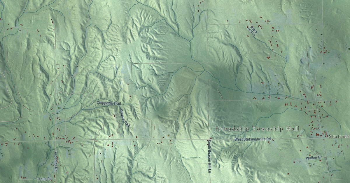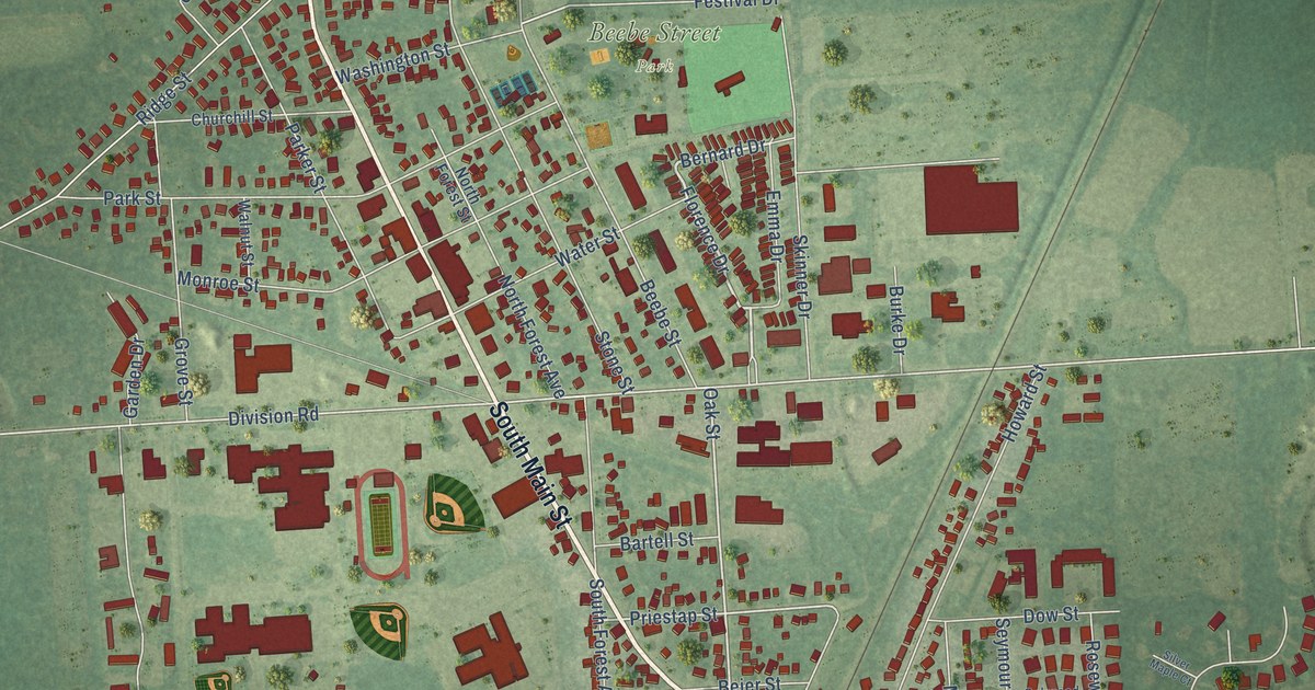
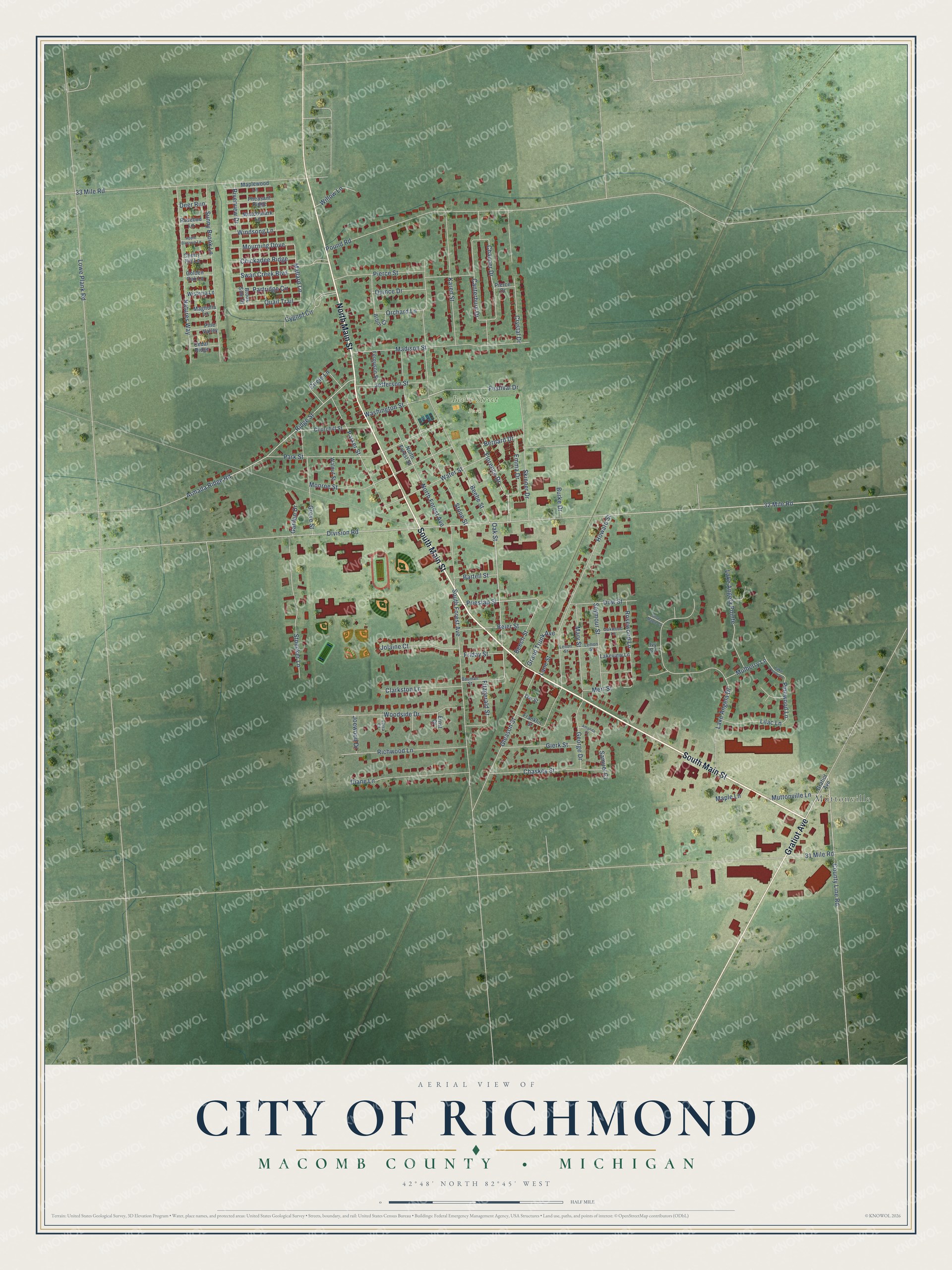
This beautifully detailed map of Richmond, Michigan was created in 2026 using aerial imagery combined with modern topographical, census, street and landmark data. It's a modern aerial view of Richmond in Macomb County, Michigan, that combines modern data with a vintage aesthetic. The roads feature printed names, and if you look closely you can find your exact house accurately shown in its correct location.
Explore an aerial view of Richmond, Michigan
On this map you'll find Muttonville, Beebe Street Park, South Main Street, North Main Street, Gratiot Avenue, Florence Drive, Bernard Drive, 32 Mile Road, Oak Street, Priestap Street, Division Road, Pinewood Lane, and more. Each red shape is a building, so zoom in on the preview and look for yours.
Richmond has a story worth telling. The History of Macomb County puts it this way: "First Baptist society of Richmond was organized June 15, 1869, with Manson Farrar, Harvey French, D. J. Stewart, James W. Cooper and H. F. Douglass, Trustees."
Richmond is a city in Macomb County. The Census Bureau counted 5,878 people here in 2020.
Take a closer look at the Richmond map
Names on this map
These names are printed on this map.
Places: Muttonville and Beebe Street Park.
Streets and roads: South Main Street, North Main Street, Gratiot Avenue, Florence Drive, Bernard Drive, 32 Mile Road, Oak Street, Priestap Street, Division Road, Pinewood Lane, Mallard Lane, Beebe Street.
More street names, A to Z
31 Mile Road, 33 Mile Road, Amanda Court, Apple Blossom Lane, Arbor Court, Armada Ridge Road, Bartell Street, Bauman Street, Beech Street, Beier Street, Brook Side Drive, Burke Drive, Canterbury Drive, Cedar Ridge, Chaskey Street, Chaucer Drive, Cherry Hill Lane, Chickadee Ridge, Churchill Street, Circle Lane, Clarkston Lane, County Line Road, Crystal Drive, Cygnet Circle, Deer Run, Diane Lane, Dow Street, Emma Drive, Ernst Court, Ferguson Street, Festival Drive, Fitzgerald Street, Franklin Street, Friday Street, Garden Drive, George Drive, Gierk Street, Gleason Street, Golden Oak Lane, Grand Trunk Avenue, Grove Street, Howard Street, Ivy Circle, Jefferson Street, Joewood Drive, Jolaine Court, Karen Street, Lake Angela Drive, Lake Angela Pointe, Lake Pointe Cv, Lakeview Lane, Lane Street, Lemon Street, Lenon Street, Lilac Lane, Lorra Court, Lowe Plank Road, Madison Street, Magnolia Lane, Maple Lane, Maplewood Lane, Mary Street, Meadowlark Lane, Mert Street, Monroe Street, Mourning Dove, Mulberry Lane, Muttonville Lane, Natures Way, North Forest Avenue, North Forest Street, Oakwood Lane, Orchard Lane, Ow Street, Parker Street, Park Street, Partridge Circle, Pheasant Ridge, Pierce Drive, Pierce Street, Pine Valley, Pound Road, Quail Trail, Quince Drive, Richwood Lane, Ridge Street, Riverview Drive, Rosebud Lane, Rosewood Lane, Samuel Court, Seymour Street, Silver Maple Court, Skinner Drive, South Forest Avenue, Stoecker Lane, Stone Street, Sunny Brook Lane, Swan Creek Boulevard, Walnut Street, Washington Street, Water Street, Willow Lane, Windsong Lane, Wisteria Lane, Woodside Drive.
See it on a wall
The Richmond map as a framed print. Swipe for more.


Created by KNOWOL in 2026. The buildings are small red shapes, the roads carry their printed names, and shaded relief shows the shape of the land. The title panel reads "AERIAL VIEW OF CITY OF RICHMOND, MACOMB COUNTY • MICHIGAN" with 42°48' NORTH 82°45' WEST.
It looks right in a kitchen, an office or a den, and it's a gift for anyone who grew up in Richmond or moved away. Open the preview and find your street. See sizes and frames for the Richmond map.